|
Upson County, Georgia
Upson County is a county in the West Central region of the U.S. state of Georgia. As of the 2020 census, the population was 27,700. The county seat is Thomaston. The county was created on December 15, 1824. Upson County comprises the Thomaston, GA Micropolitan Statistical Area, which is also included in the Atlanta- Athens-Clarke County- Sandy Springs CSA. History Upson County was formed in 1824 and named after Stephen Upson, a state legislator. Emancipation Day On May 29, 1865, following the conclusion of the American Civil War, enslaved African Americans in the county were notified in Thomaston that they had been emancipated. By the following year, celebrations were held on that date, which continue to this day. It is considered one of the largest Emancipation Day celebrations in Georgia and one of the oldest continuously celebrated ones in the United States. Geography According to the U.S. Census Bureau, the county has a total area of , of which is land and (1.3% ... [...More Info...] [...Related Items...] OR: [Wikipedia] [Google] [Baidu] |
Stephen Upson
Stephen Upson (1785 – August 24, 1824) was an American politician and lawyer. Upson was born in Waterbury, Connecticut, and graduated from Yale College in 1804. He then studied law at the Litchfield Law School. In 1807, Upson, moved to Hoover, Virginia, and later to Lexington, Georgia, in order to study law under William H. Crawford. In 1812, Upson married Hannah Cummins. He represented Oglethorpe County, Georgia, in the Georgia General Assembly beginning in 1820 and continued in that role until his death. Upson was also the head of the Georgia bar. Upson died in 1824 and was buried in the Presbyterian Cemetery in Lexington. On December 15, 1824, the Georgia General Assembly created Upson County Upson County is a County (United States), county in the West Central Georgia, West Central region of the U.S. state of Georgia (U.S. state), Georgia. As of the 2020 United States census, 2020 census, the population was 27,700. The county seat i ... and named it in his honor. Refer ... [...More Info...] [...Related Items...] OR: [Wikipedia] [Google] [Baidu] |
Emancipation Day
Emancipation Day is observed in many former European colonies in the West Indies and parts of the United States on various dates to commemorate the emancipation of African slave trade#Abolition, slaves of African descent. In much of the British West Indies, former British West Indies, Emancipation Day is usually marked on 1 August, commemorating the anniversary of the Slavery Abolition Act 1833 coming into force on 1 August 1834. However in some countries, it is marked instead on the first Monday in August. The observance of a holiday in the British West Indies also became a key mobilisation tool and holiday for the Abolitionism in the United States, antislavery movement in the United States. Emancipation Day is also observed in other areas in regard to the abolition of other forms of involuntary servitude. 1 August or the first Monday in August The Slavery Abolition Act 1833, which abolished slavery throughout the British Empire (with the exceptions "of the Territories in th ... [...More Info...] [...Related Items...] OR: [Wikipedia] [Google] [Baidu] |
Georgia State Route 36
State Route 36 (SR 36) is a state highway that travels southwest-to-northeast through portions of Harris, Talbot, Upson, Lamar, Butts, and Newton counties in the central part of the U.S. state of Georgia. The highways connects the Waverly Hall area with Covington, via Thomaston, Barnesville, and Jackson. Route description SR 36 begins at an intersection with SR 208 about east of Waverly Hall and just west of the Harris–Talbot county line. Almost immediately, it crosses into Talbot County and travels in a fairly northeasterly direction, before curving to the east-northeast to meet SR 41 in Greens Mill. The two highways head concurrently to the north into Woodland, where they diverge. SR 36 continues to the east-northeast and crosses over the Flint River on the Wynns Bridge into Upson County, in Pleasant Hill. The highway travels through rural areas of the county and enters Thomaston. There, it curves to the north and begins a co ... [...More Info...] [...Related Items...] OR: [Wikipedia] [Google] [Baidu] |
Georgia 36
State Route 36 (SR 36) is a state highway that travels southwest-to-northeast through portions of Harris, Talbot, Upson, Lamar, Butts, and Newton counties in the central part of the U.S. state of Georgia. The highways connects the Waverly Hall area with Covington, via Thomaston, Barnesville, and Jackson. Route description SR 36 begins at an intersection with SR 208 about east of Waverly Hall and just west of the Harris–Talbot county line. Almost immediately, it crosses into Talbot County and travels in a fairly northeasterly direction, before curving to the east-northeast to meet SR 41 in Greens Mill. The two highways head concurrently to the north into Woodland, where they diverge. SR 36 continues to the east-northeast and crosses over the Flint River on the Wynns Bridge into Upson County, in Pleasant Hill. The highway travels through rural areas of the county and enters Thomaston. There, it curves to the north and begins a conc ... [...More Info...] [...Related Items...] OR: [Wikipedia] [Google] [Baidu] |
Georgia State Route 22
State Route 22 (SR 22) is a state highway that travels southwest-to-northeast in an eastern arc through portions of Muscogee, Talbot, Taylor, Upson, Crawford, Bibb, Jones, Baldwin, Hancock, Taliaferro, Oglethorpe, and Madison counties in the western and west-central parts of the U.S. state of Georgia. The highway connects the Alabama state line in Columbus, across the state line from Phenix City, Alabama, to Comer, via Macon and Milledgeville. SR 22 originally traveled only from Columbus to Macon, and was incrementally extended to Comer in stages. It was rerouted many times in Columbus and formerly had a more northern path in the Macon area. The part of the highway from the Alabama state line east to Geneva is part of the Fall Line Freeway (SR 540), a long-distance four-lane highway that extends from Columbus to Augusta. Also, this section could be included in the proposed eastern extension of Interstate 14 (I-14). Route description Columb ... [...More Info...] [...Related Items...] OR: [Wikipedia] [Google] [Baidu] |
Georgia 22
State Route 22 (SR 22) is a state highway that travels southwest-to-northeast in an eastern arc through portions of Muscogee, Talbot, Taylor, Upson, Crawford, Bibb, Jones, Baldwin, Hancock, Taliaferro, Oglethorpe, and Madison counties in the western and west-central parts of the U.S. state of Georgia. The highway connects the Alabama state line in Columbus, across the state line from Phenix City, Alabama, to Comer, via Macon and Milledgeville. SR 22 originally traveled only from Columbus to Macon, and was incrementally extended to Comer in stages. It was rerouted many times in Columbus and formerly had a more northern path in the Macon area. The part of the highway from the Alabama state line east to Geneva is part of the Fall Line Freeway (SR 540), a long-distance four-lane highway that extends from Columbus to Augusta. Also, this section could be included in the proposed eastern extension of Interstate 14 (I-14). Route description Columbus ... [...More Info...] [...Related Items...] OR: [Wikipedia] [Google] [Baidu] |
Georgia State Route 3
State Route 3 (SR 3) is a state highway that travels south-to-north through portions of the western part of the U.S. state of Georgia, roughly paralleling Interstate 75 (I-75). The highway travels from its southern terminus at the Florida state line, where SR 3 and SR 300 both reach their southern terminus, concurrent with US 19. Here, US 19 travels concurrent with State Road 57, south-southeast of Thomasville. SR 3 travels through portions of Thomas, Mitchell, Dougherty, Lee, Sumter, Schley, Taylor, Upson, Pike, Spalding, Henry, Clayton, Fulton, Cobb, Bartow, Gordon, Whitfield, and Catoosa counties to its northern terminus at the Tennessee state line, in East Ridge, where US 41/ US 76 continue, concurrent with State Route 8. It travels through Thomasville, Albany, Griffin, Atlanta, Calhoun, and Dalton. At long, it is considered the third-longest signed state highway in the U.S. state of Ge ... [...More Info...] [...Related Items...] OR: [Wikipedia] [Google] [Baidu] |
US 80
U.S. Route 80 or U.S. Highway 80 (US 80) is a major east–west United States Numbered Highway in the Southern United States, much of which was once part of the early auto trail known as the Dixie Overland Highway. As the "0" in the route number indicates, it was originally a cross-country route, from the Pacific Ocean to the Atlantic Ocean. Its original western terminus was at Historic US 101 in San Diego, California. However, the entire segment west of Dallas, Texas, has been decommissioned in favor of various Interstate Highways and state highways starting in 1967, being truncated to its current west end in 1991. Currently, the highway's western terminus is at an interchange with Interstate 30 (I-30) on the Dallas– Mesquite city line. Its eastern terminus is in Tybee Island, Georgia, near the Atlantic Ocean. Between Longview, Texas, and Cuba, Alabama, US 80 runs parallel to or concurrently with Interstate 20. It also currently runs through Dallas, Tex ... [...More Info...] [...Related Items...] OR: [Wikipedia] [Google] [Baidu] |
US 19
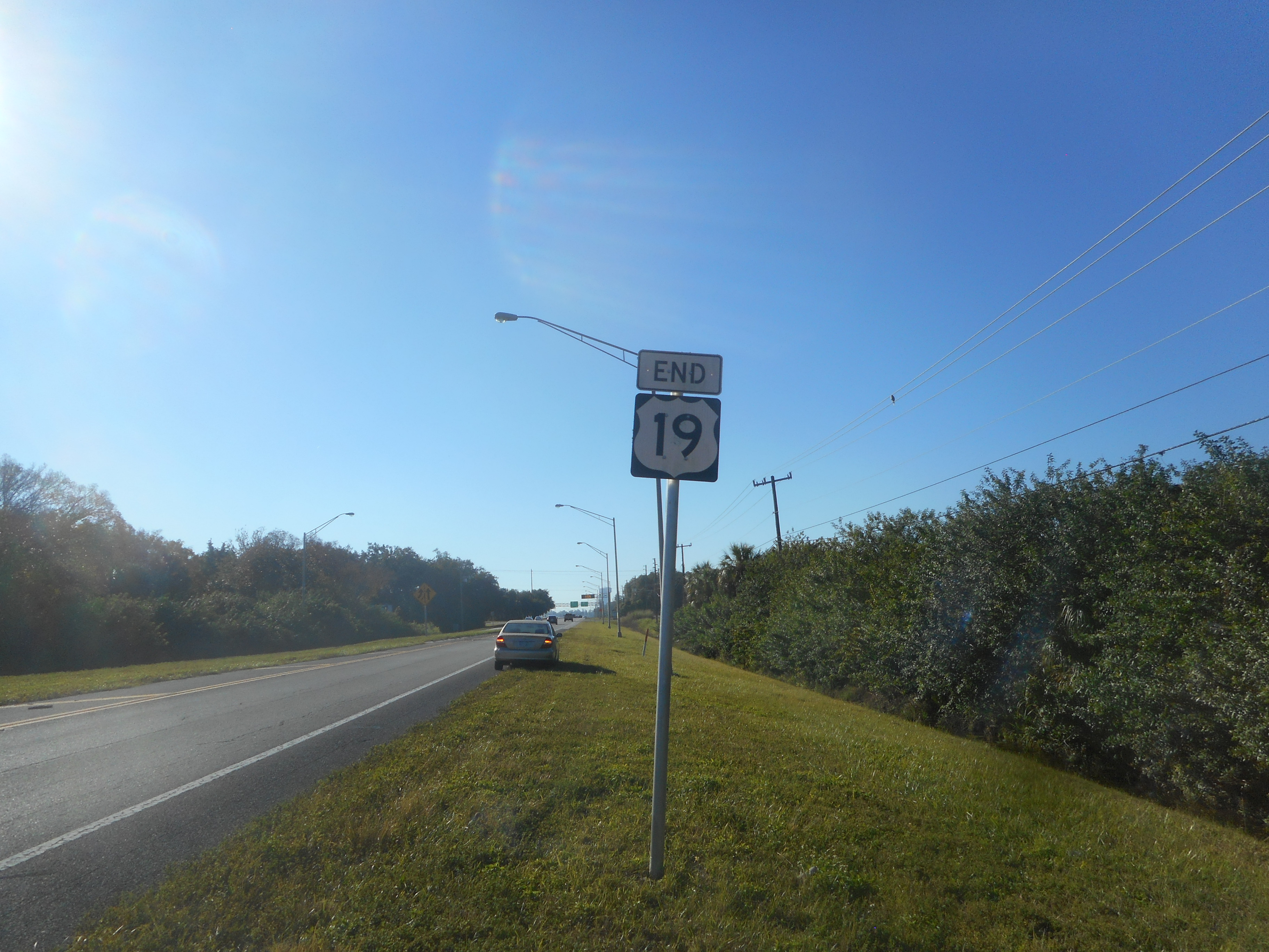
U.S. Route 19 or U.S. Highway 19 (US 19) is a north–south United States Numbered Highway in the Eastern United States. Despite encroaching Interstate Highways, the route has remained a long-haul road, connecting the Gulf of Mexico with Lake Erie. The highway's southern terminus is at Memphis, Florida, which is just south of St. Petersburg, Florida, St. Petersburg at an intersection with U.S. Route 41, US 41. Its northern terminus is in Erie, Pennsylvania, at an intersection with U.S. Route 20, US 20 about from the shores of Lake Erie. The length of the highway is , including both US 19E/US 19W paths through North Carolina and Tennessee. Route description , - , U.S. Route 19 in Florida, FL , , - , U.S. Route 19 in Georgia, GA , , - , U.S. Route 19 in North Carolina, NC , , - , U.S. Route 19E, 19E , , - , U.S. Route 19W, 19W , , - , U.S. Route 19 in Tennessee, TN , , - , U.S. Route 19 in Virginia, VA , , - , U.S. Route 19 in West Vir ... [...More Info...] [...Related Items...] OR: [Wikipedia] [Google] [Baidu] |
Altamaha River
The Altamaha River is a major river in the U.S. state of Georgia (U.S. state), Georgia. It flows generally eastward for from its Source (river or stream), origin at the confluence of the Oconee River and Ocmulgee River towards the Atlantic Ocean, where it empties into the ocean near Brunswick, Georgia. No dams are directly on the Altamaha, though some are on the Oconee and the Ocmulgee. Including its tributaries, the Altamaha River's drainage basin is about in size, qualifying it among the larger river basins of the US Atlantic coast.The Altamaha River Course The Altamaha River originates at the confluence of the Oconee and Ocmulgee Rivers, near Lumber City, Georgia, Lumber City. At its source, the river forms the border between Jeff Davis County, Georgia, Jeff Davis ...[...More Info...] [...Related Items...] OR: [Wikipedia] [Google] [Baidu] |
Ocmulgee River
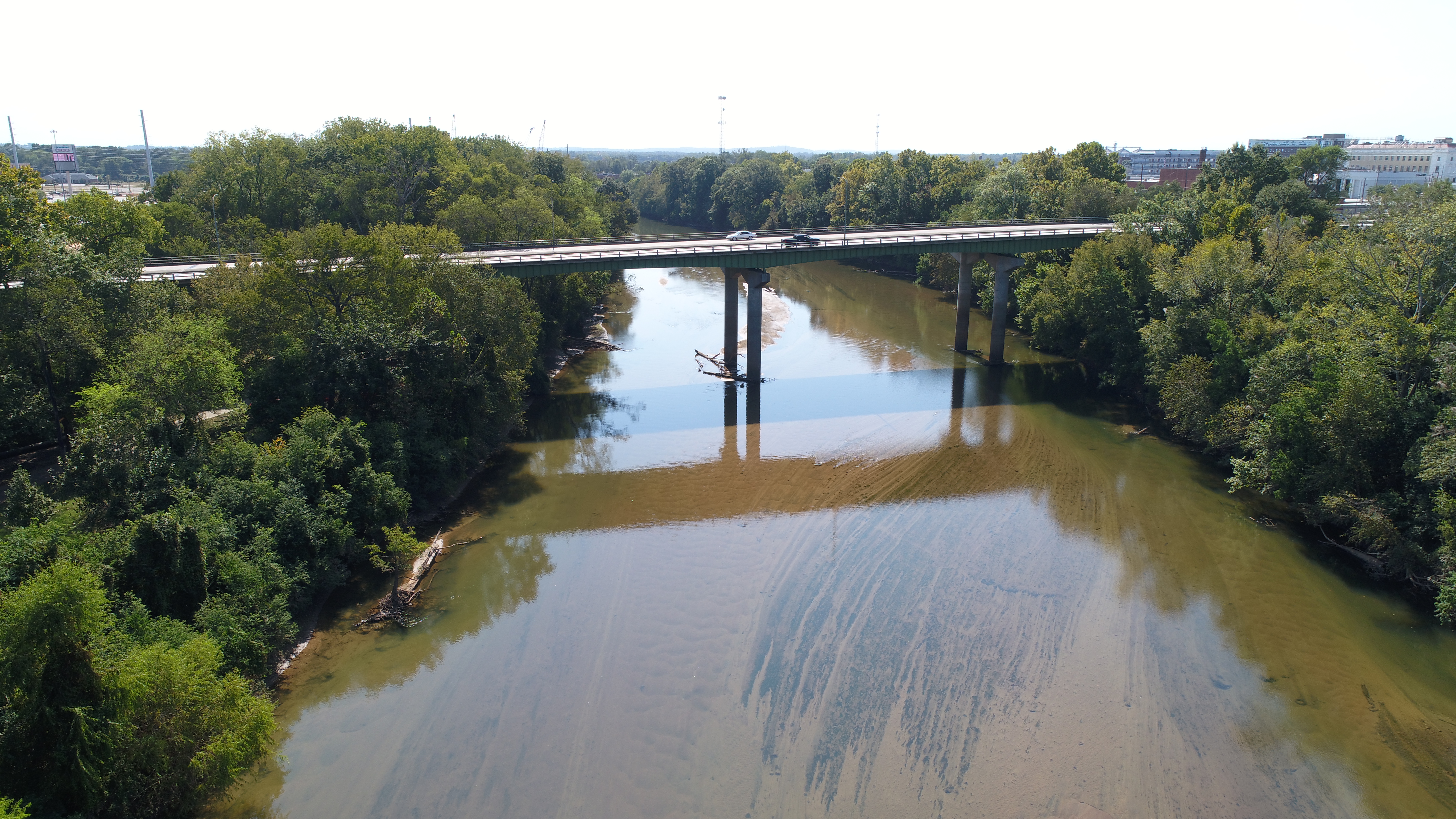
The Ocmulgee River () is a western tributary of the Altamaha River, approximately 255 mi (410 km) long, in the U.S. state of Georgia (U.S. state), Georgia. It is the westernmost major tributary of the Altamaha.Ocmulgee River ''New Georgia Encyclopedia'' (August 9, 2004). It was formerly known by its Hitchiti name of Ocheese Creek, from which the Muscogee, Creek (Muscogee) people derived their name. The Ocmulgee River and its tributaries provide drainage for some 6,180 square miles in parts of List of counties in Georgia, 33 Georgia counties, a large section of the Piedmont (United States), Piedmont and coastal plain of central Georgia. The Ocmulgee River Drainage basin, basin has three river subbasins designated by the United States Geological Survey, U.S. Geological S ... [...More Info...] [...Related Items...] OR: [Wikipedia] [Google] [Baidu] |


