|
Tullah, Tasmania
Tullah is a town in the northern part of the West Coast Range, on the West Coast, Tasmania, west coast of Tasmania, Australia, about 111 km south of Burnie, Tasmania, Burnie. The town has a population of approximately 202 people. Town The town is roughly divided into two "suburbs", an older northern one, and a younger, more planned southern one. The northern half was originally a mining town called Mount Farrell, established in 1900 after silver lead ore was discovered in the area. Mount Farrell Post Office opened on 1 April 1900 and was renamed ''Tullah'' in 1910. Hydro era Tullah was later extended southwards by Hydro Tasmania, the Hydro-Electric Commission and used as a Hydropower, hydroelectric power scheme construction town during the making of the Pieman River Power Development, Pieman Scheme in the 1970s to early 1990s when its population reached 2500. It is now mainly a community at the edge of Lake Rosebery (Tasmania), Lake Rosebery and a fishing location. Prior t ... [...More Info...] [...Related Items...] OR: [Wikipedia] [Google] [Baidu] |
West Coast Council
West Coast Council is a Local government in Australia, local government body in Tasmania, covering much of the western region of the state. West Coast is classified as a rural local government area and has a population of 4,167. The major towns and localities of the region include Strahan, Tasmania, Strahan, Rosebery, Tasmania, Rosebery, Zeehan, Tasmania, Zeehan and the principal town of Queenstown, Tasmania, Queenstown. History and attributes The West Coast has a rich mining and railway heritage as well as a historic Convicts on the West Coast of Tasmania, convict settlement. It is the largest of the 29 Tasmanian councils by area, and the second least densely populated, after the Central Highlands Council, Central Highlands. It takes in the West Coast Range (Tasmania), West Coast Range as well as portions of the World Heritage areas. The region experiences relatively extreme weather conditions, notably high yearly rainfall totals due to frontal systems, especially at Lake M ... [...More Info...] [...Related Items...] OR: [Wikipedia] [Google] [Baidu] |
Lake Mackintosh
Lake Mackintosh is a reservoir with a surface area of that forms part of the Pieman power development running north–south past Mount Farrell, adjacent to the town of Tullah in Tasmania. Features Fed by the damming of the Mackintosh, Sophia, Fury, Southwell, and Brougham rivers and Mackintosh Creek, water from the lake feeds Mackintosh Power Station through Lake Rosebery. The lake was created in the 1980s and the main basin of the lake was originally a Button Grass swamp prior to inundation. Lake Mackintosh is impounded by two dams, the main Mackintosh Dam and the smaller Tullabardine Dam. The lake's deepest point is roughly deep at the base of the main dam. It is one of the larger sized water impoundments of the Pieman power scheme. The Murchison River feeds into Lake Mackintosh through the Murchison Dam, to the south. The Murchison Highway borders the lake to the west. The Cradle Mountain-Lake St Clair National Park as a component part of the Tasmanian Wilderness Wo ... [...More Info...] [...Related Items...] OR: [Wikipedia] [Google] [Baidu] |
Cradle Mountain
Cradle Mountain is a locality and mountain in the Central Highlands region of the Australian state of Tasmania. The mountain is situated in the Cradle Mountain-Lake St Clair National Park. At above sea level, it is the sixth-highest mountain in Tasmania. The locality of Cradle Mountain is a rural locality in the local government areas of Meander Valley, Kentish and West Coast in the Launceston and North-west and west local government regions of Tasmania. The locality is about west of the town of Westbury. The 2016 census has a population of 66 for the state suburb of Cradle Mountain. Cradle Mountain was gazetted as a locality in 1966. Cradle Mountain (the mountain) occupies a small area in the north-west of the locality, which occupies the northern half of Cradle Mountain-Lake St Clair National Park. Route C132 (Cradle Mountain Road / Dove Lake Road) enters from the north and runs south to Dove Lake, where it ends. History Cradle Mountain sits between the Big R ... [...More Info...] [...Related Items...] OR: [Wikipedia] [Google] [Baidu] |
Waratah, Tasmania
Waratah is a locality and town in North West Coast, Tasmania, Western Tasmania adjacent to Savage River National Park. The town was constructed to support a tin mining, mine at Mount Bischoff. It is built at the top of a waterfall, and water was diverted from the stream to provide water for mine Placer mining, sluicing and processing. At the , Waratah had a population of 249. It was also the first town in Australia to have electric street lights in 1886. History Tin was discovered at Mount Bischoff by James "Philosopher" Smith in 1871. The mine operated successfully at first. The easy ore was all extracted by 1893 when sluicing was discontinued. Mining continued opencut on the face of the mountain, and underground. The underground mine closed in 1914, but surface mining continued for some time before it also ceased after the price of tin slumped in 1929. The mine was reopened by the Government of Australia, Commonwealth Government in 1942 to support the war effort, but it finall ... [...More Info...] [...Related Items...] OR: [Wikipedia] [Google] [Baidu] |
Strahan, Tasmania
Strahan ( ) is a small town and former port on the west coast of Tasmania. It is now a significant locality for tourism in the region. Strahan Harbour and Risby Cove form part of the north-east end of Long Bay on the northern end of Macquarie Harbour. At the , Strahan had a population of 634. Port Originally developed as a port of access for the mining settlements in the area, the town was known as Long Bay or Regatta Point. In 1881, the settlement was renamed, after the colony’s new Governor, Sir George Cumine Strahan. The town was officially proclaimed in 1892. Strahan was a vital location for the timber industry that existed around Macquarie Harbour. For a substantial part of the nineteenth century and early twentieth century it also was port for regular shipping of passengers and cargo. The Strahan Marine Board was an important authority dealing with the issues of the port and Macquarie Harbour, up until the end of the twentieth century when it was absorbed into the H ... [...More Info...] [...Related Items...] OR: [Wikipedia] [Google] [Baidu] |
Zeehan, Tasmania
Zeehan is a town on the West Coast, Tasmania, west coast of Tasmania, Australia south-west of Burnie, Tasmania, Burnie. It is part of the West Coast Council, along with the seaport Strahan, Tasmania, Strahan and neighbouring mining towns of Rosebery, Tasmania, Rosebery and Queenstown, Tasmania, Queenstown. History The greater Zeehan area was inhabited by the indigenous Peerapper and Tommeginne clans of the Aboriginal Tasmanians#North West, North West group for over 10,000 years prior to the British colonisation of Tasmania. They were greatly coastal peoples, residing in small numbers on a diet consisting of Short-tailed shearwater, muttonbirds, Brown fur seal, seals, swan eggs and cider gum, and constructed bark huts when strong westerly winds brought about rain and icy temperatures. European naming On 24 November 1642, Dutch people, Dutch explorer Abel Tasman became the first European explorer to sight and document the Heemskirk and West Coast Range, Tasmania, West Coast Ran ... [...More Info...] [...Related Items...] OR: [Wikipedia] [Google] [Baidu] |
Rosebery, Tasmania
Rosebery is a town on the West Coast, Tasmania, west coast of Tasmania, Australia. It is at the northern end of the West Coast Range, in the shadow of Mount Black (Tasmania), Mount Black and adjacent to the Pieman River, now Lake Pieman. It lies on the Murchison Highway, 25 kilometres north-east of Zeehan, Tasmania, Zeehan and is part of the Municipality of West Coast Council. At the , Rosebery had a population of 752. The population of Rosebery declined by 22% in the years between 1996-2001. Its newer western area on the shore of Lake Pieman is known as Primrose. History Like most of the other settlements on the west coast of Tasmania, Rosebery is a mining town. In 1893, prospector Tom McDonald discovered gold in alluvial wash, along with boulders of zinc-lead sulphide in dense rainforest on the slopes of Mount Black. McDonald pegged several claims in the name of the Rosebery Prospecting Association (named after Archibald Primrose, 5th Earl of Rosebery, Lord Rosebery), w ... [...More Info...] [...Related Items...] OR: [Wikipedia] [Google] [Baidu] |
Tasmanian Devil
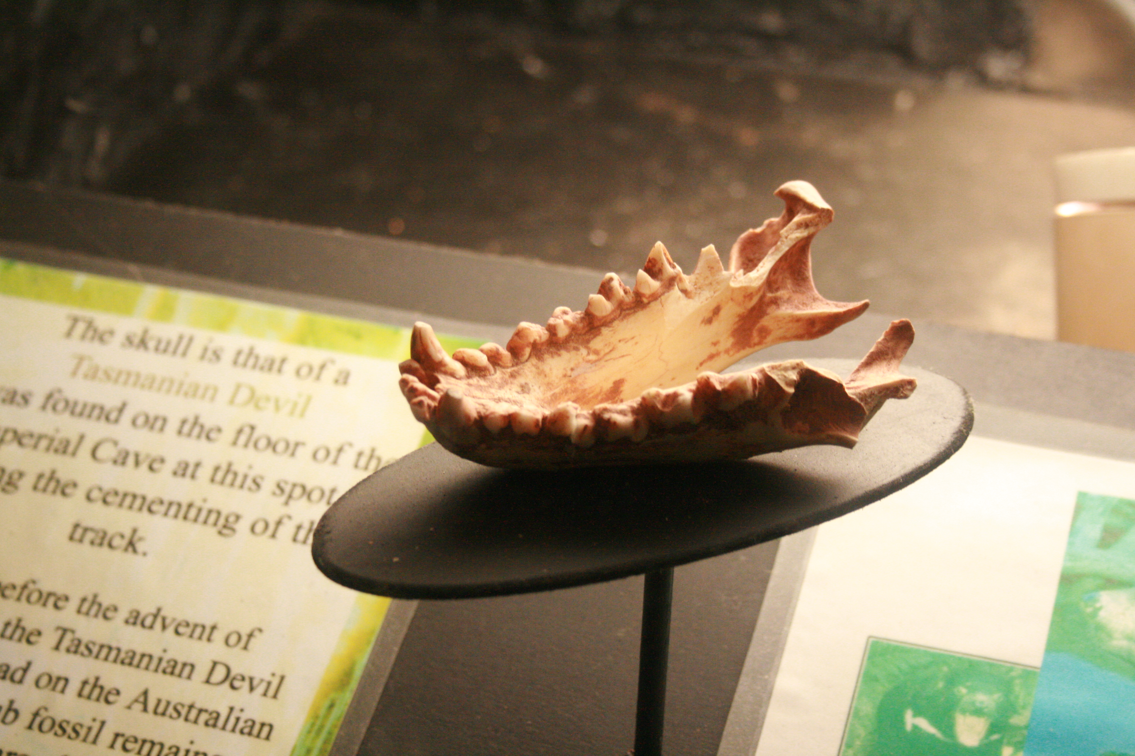
The Tasmanian devil (''Sarcophilus harrisii''; palawa kani: ''purinina'') is a carnivorous marsupial of the family Dasyuridae. It was formerly present across mainland Australia, but became extinct there around 3,500 years ago; it is now confined to the island of Tasmania. The size of a small dog, the Tasmanian devil became the largest carnivorous marsupial in the world following the extinction of the thylacine in 1936. It is related to quolls, and distantly related to the thylacine. It is characterised by its stocky and muscular build, black fur, pungent odour, extremely loud and disturbing screech, keen sense of smell, and ferocity when feeding. The Tasmanian devil's large head and neck allow it to generate among the strongest bites per unit body mass of any extant predatory land mammal. It hunts prey and scavenges on carrion. Although devils are usually solitary, they sometimes eat and defecate together in a communal location. Unlike most other dasyurids, the devil the ... [...More Info...] [...Related Items...] OR: [Wikipedia] [Google] [Baidu] |
Tiger Quoll
The tiger quoll (''Dasyurus maculatus''), also known as the spotted-tailed quoll, spotted quoll, spotted-tailed dasyure, or tiger cat, is a carnivorous marsupial of the quoll genus ''quoll, Dasyurus'' native to Australia. With males and females weighing around , respectively, it is the world's second-largest extant carnivorous marsupial, behind the Tasmanian devil. Two subspecies are recognised; the nominate is found in wet forests of southeastern Australia and Tasmania, and a northern subspecies, ''D. m. gracilis'', is found in a small area of northern Queensland and is endangered. The tiger quoll commonly preys on small mammals, insects, birds, Poultry, domestic poultry and large marsupials such as wombats. It mostly hunts live prey but occasionally scavenges when the opportunity arises. The tiger quoll kills its prey by executing a killing bite to the base of the skull or top of the neck, depending on the size of the prey. The species is listed as Near-threatened species, ne ... [...More Info...] [...Related Items...] OR: [Wikipedia] [Google] [Baidu] |
Pademelon
Pademelons () are small marsupials in the genus ''Thylogale'', found in Australia, New Guinea, and surrounding islands. They are some of the smallest members of the macropod family, which includes the similar-looking but larger kangaroos and wallabies. Pademelons are distinguished by their small size and their short, thick, and sparsely haired tails. Like other marsupials, they carry their young in a pouch. Etymology The word "pademelon" comes from the word ''badimaliyan'' in Dharug, an Australian Aboriginal language spoken near what is now Port Jackson, New South Wales. The scientific name ''Thylogale'' uses the Greek words for "pouch" and "weasel." Description Along with the rock-wallabies and the hare-wallabies, the pademelons are among the smallest members of the macropod family. Mature male pademelons are larger than females, with an average weight of about 7 kg and height of 60 cm. Mature females weigh around 3.8 kg. Species There are seven recognise ... [...More Info...] [...Related Items...] OR: [Wikipedia] [Google] [Baidu] |
Phalangeriformes
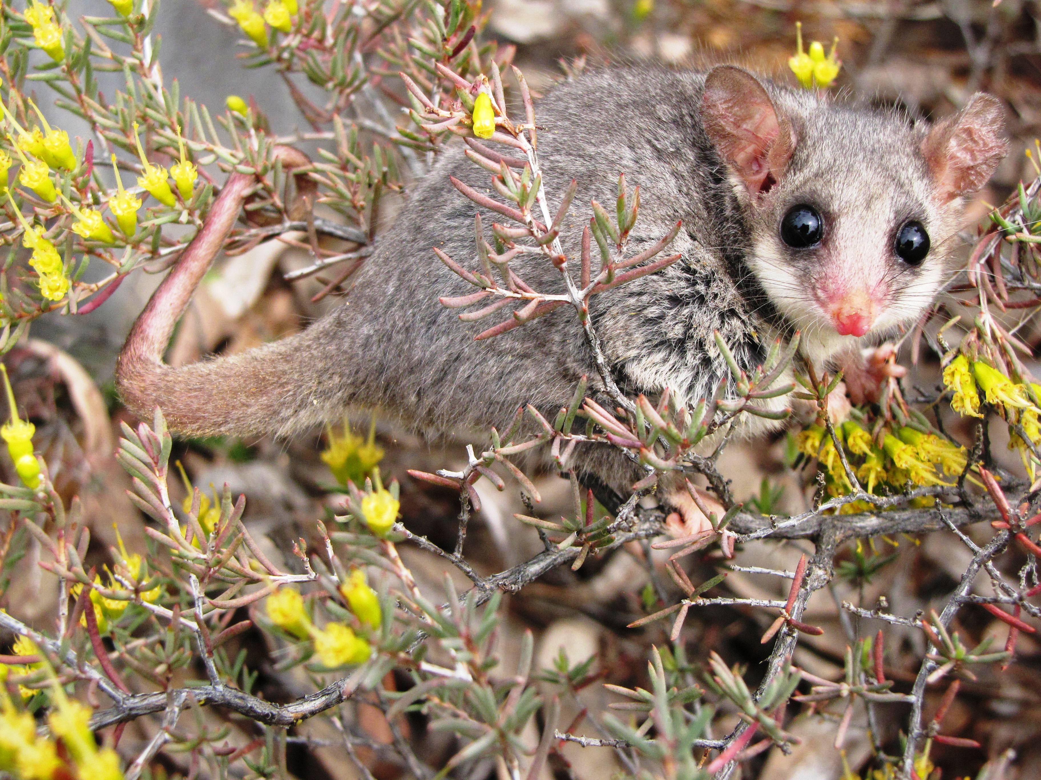
Phalangeriformes is a paraphyletic suborder of about 70 species of small to medium-sized arboreal locomotion, arboreal marsupials native to Australia, New Guinea, and Sulawesi. The species are commonly known as possums, opossums, gliders, and cuscus. The common name "(o)possum" for various Phalangeriformes species derives from the creatures' resemblance to the opossums of the Americas (the term comes from Powhatan language ''aposoum'' "white animal", from proto-Algonquian language, Proto-Algonquian *''wa·p-aʔɬemwa'' "white dog"). However, although opossums are also marsupials, Australasian possums are more closely related to other Australidelphia, Australasian marsupials such as kangaroos. Phalangeriformes are quadrupedalism, quadrupedal Diprotodontia, diprotodont marsupials with long tails. The smallest species, indeed the smallest diprotodont marsupial, is the Tasmanian pygmy possum, with an adult head-body length of and a weight of . The largest are the two species of be ... [...More Info...] [...Related Items...] OR: [Wikipedia] [Google] [Baidu] |
Wombat
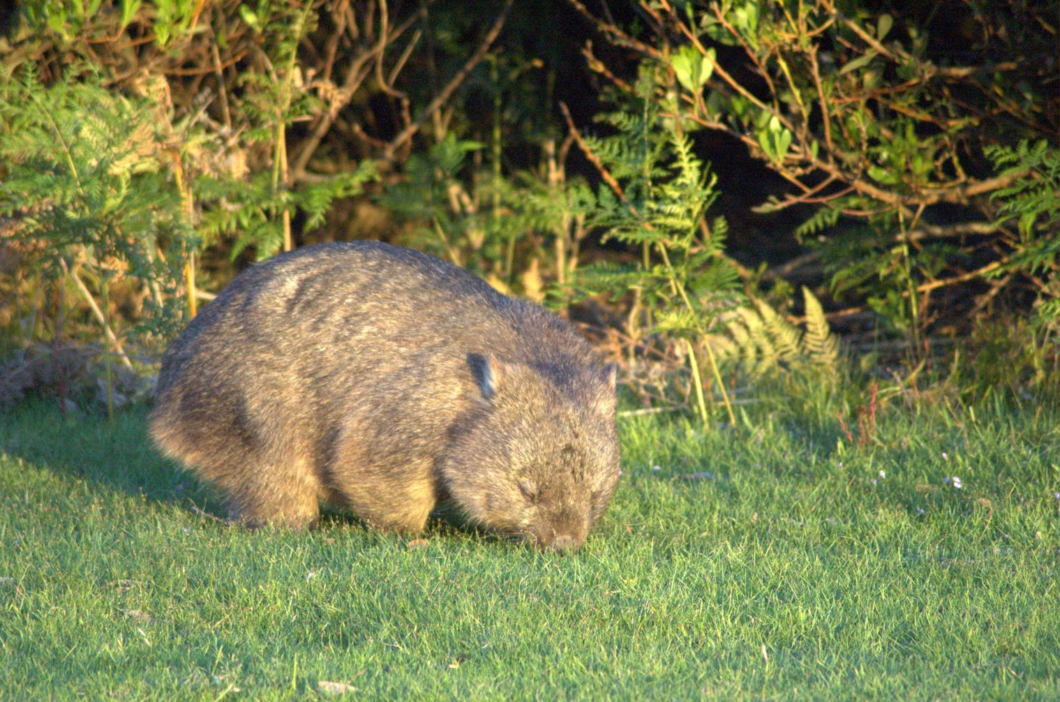
Wombats are short-legged, muscular quadrupedal marsupials of the family Vombatidae that are native to Australia. Living species are about in length with small, stubby tails and weigh between . They are adaptable and habitat tolerant, and are found in forested, mountainous, and heathland areas of southern and eastern Australia, including Tasmania, as well as an isolated patch of about in Epping Forest National Park in central Queensland. Etymology The name "wombat" comes from the now nearly extinct Dharug language spoken by the aboriginal Dharug people, who originally inhabited the Sydney area. It was first recorded in January 1798, when John Price and James Wilson, Europeans who had adopted aboriginal ways, visited the area of what is now Bargo, New South Wales. Price wrote: "We saw several sorts of dung of different animals, one of which Wilson called a 'Whom-batt', which is an animal about high, with short legs and a thick body with a large head, round ears, and very ... [...More Info...] [...Related Items...] OR: [Wikipedia] [Google] [Baidu] |


