|
Tuirgéis
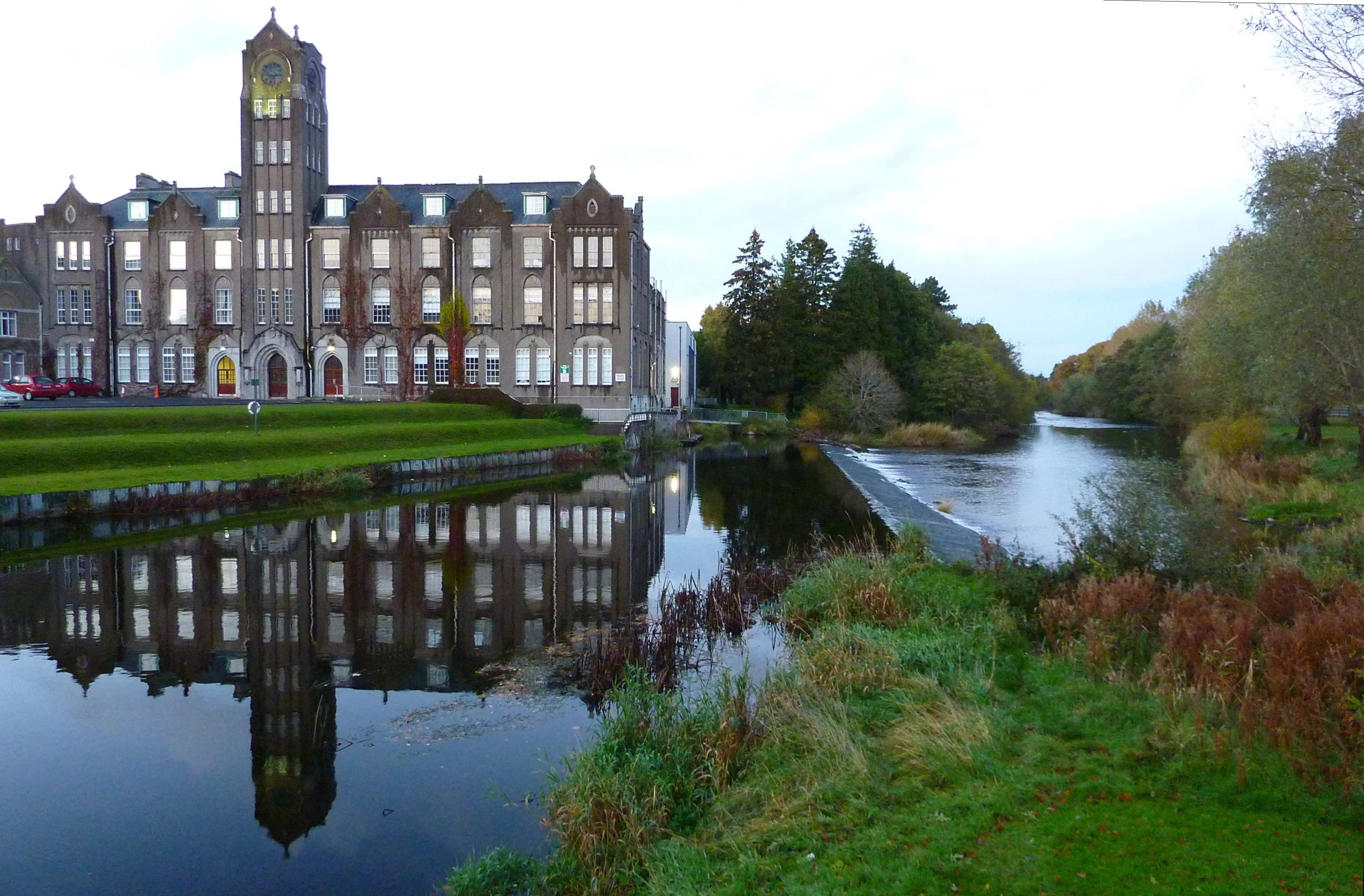
Turgesius (died 845) (also called Turgeis, Tuirgeis, Turges, and Thorgest) was a Viking chief active in Ireland during the 9th century. Turgesius Island, the principal island on Lough Lene, is named after him. It is not at all clear whether the names in the Irish annals represent the Old Norse ''Thurgestr'' or ''Thorgísl''.W.E.D. Allen, The Poet and the Spae-Wife: An Attempt to Reconstruct Al-Ghazal's Embassy to the Vikings' Dublin: Figgis, Viking Society for Northern Research, 1960, OCLC 557547145, p. 46. John O'Donovan (scholar), John O'Donovan and Charles Haliday independently identified him with Ragnar Loðbrók, but the identification is not generally accepted. Life The sole reliable record of Turgesius is a report of his death in the ''Annals of Ulster''. In 845 in Ireland, 845 he was captured by Máel Sechnaill mac Máele Ruanaid of Clann Cholmáin who was High King of Ireland. These reports state that Turgesius was drowned in Lough Owel. Less certainly, the ''Annals of the ... [...More Info...] [...Related Items...] OR: [Wikipedia] [Google] [Baidu] |
Annals Of Ulster
The ''Annals of Ulster'' () are annals of History of Ireland, medieval Ireland. The entries span the years from 431 AD to 1540 AD. The entries up to 1489 AD were compiled in the late 15th century by the scribe Ruaidhrí Ó Luinín, under his patron Cathal Óg Mac Maghnusa, on the island of ''Senadh-Mic-Maghnusa'', also known as ''Senad'' or Ballymacmanus Island (now known as Belle Isle, where Belle Isle Castle is located), near Lisbellaw, on Lough Erne in the kingdom of ''Fir Manach'' (Fermanagh). Later entries (up to AD 1540) were added by others. Entries up to the mid-6th century are retrospective, drawing on earlier annalistic and historical texts, while later entries were contemporary, based on recollection and oral history. Thomas Charles-Edwards, T. M. Charles-Edwards has claimed that the main source for its records of the first millennium A.D. is a now-lost Armagh continuation of the ''Chronicle of Ireland''. The Annals used the Irish language, with some ... [...More Info...] [...Related Items...] OR: [Wikipedia] [Google] [Baidu] |
Viking
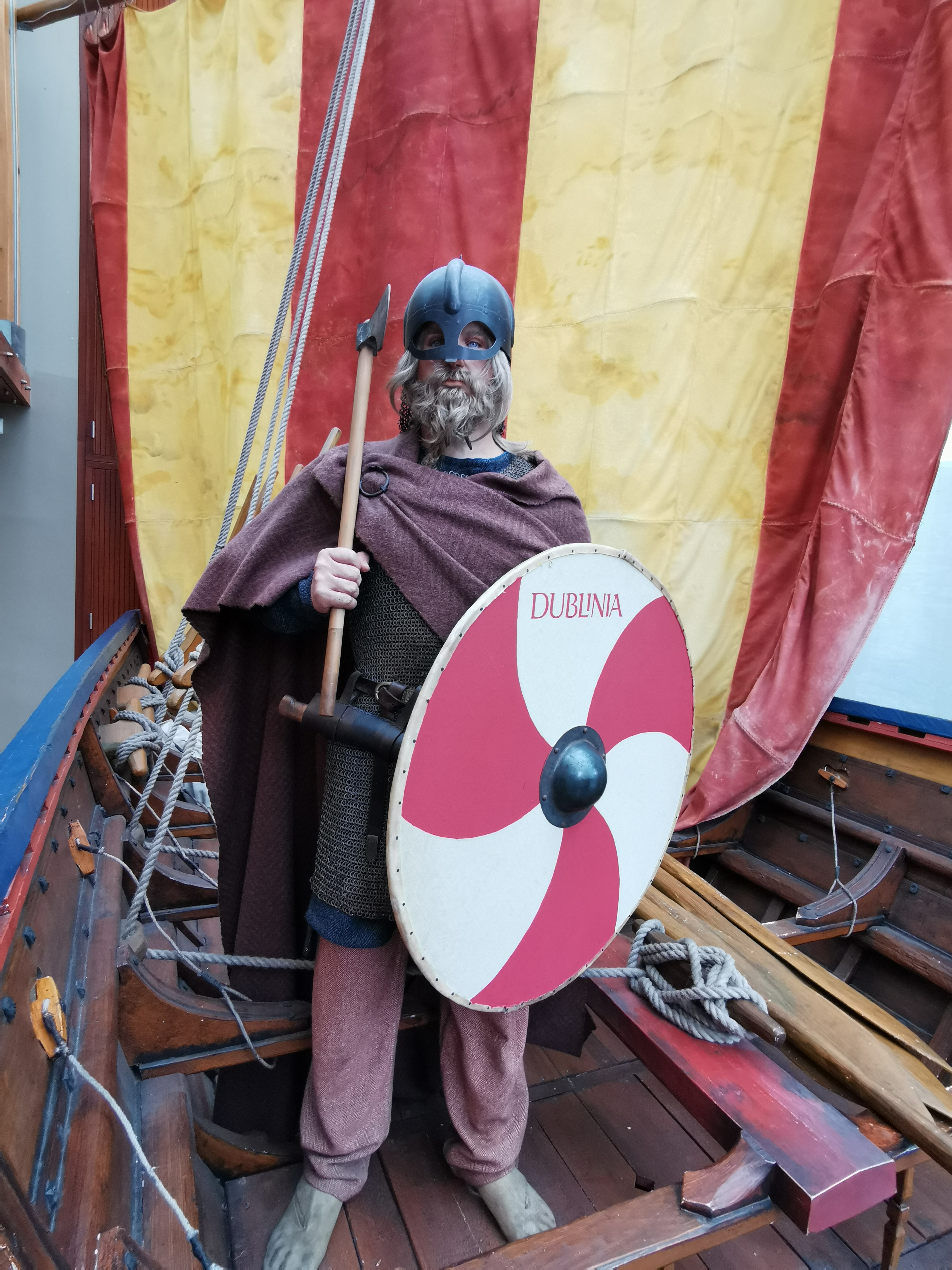
Vikings were seafaring people originally from Scandinavia (present-day Denmark, Norway, and Sweden), who from the late 8th to the late 11th centuries raided, pirated, traded, and settled throughout parts of Europe.Roesdahl, pp. 9–22. They also voyaged as far as the Mediterranean Sea, Mediterranean, North Africa, the Middle East, Greenland, and Vinland (present-day Newfoundland in Canada, North America). In their countries of origin, and some of the countries they raided and settled in, this period is popularly known as the Viking Age, and the term "Viking" also commonly includes the inhabitants of the Scandinavian homelands as a whole. The Vikings had a profound impact on the Early Middle Ages, early medieval history of Northern Europe, northern and Eastern Europe, including the political and social development of England (and the English language) and parts of France, and established the embryo of Russia in Kievan Rus'. Expert sailors and navigators of their cha ... [...More Info...] [...Related Items...] OR: [Wikipedia] [Google] [Baidu] |
Annals Of The Four Masters
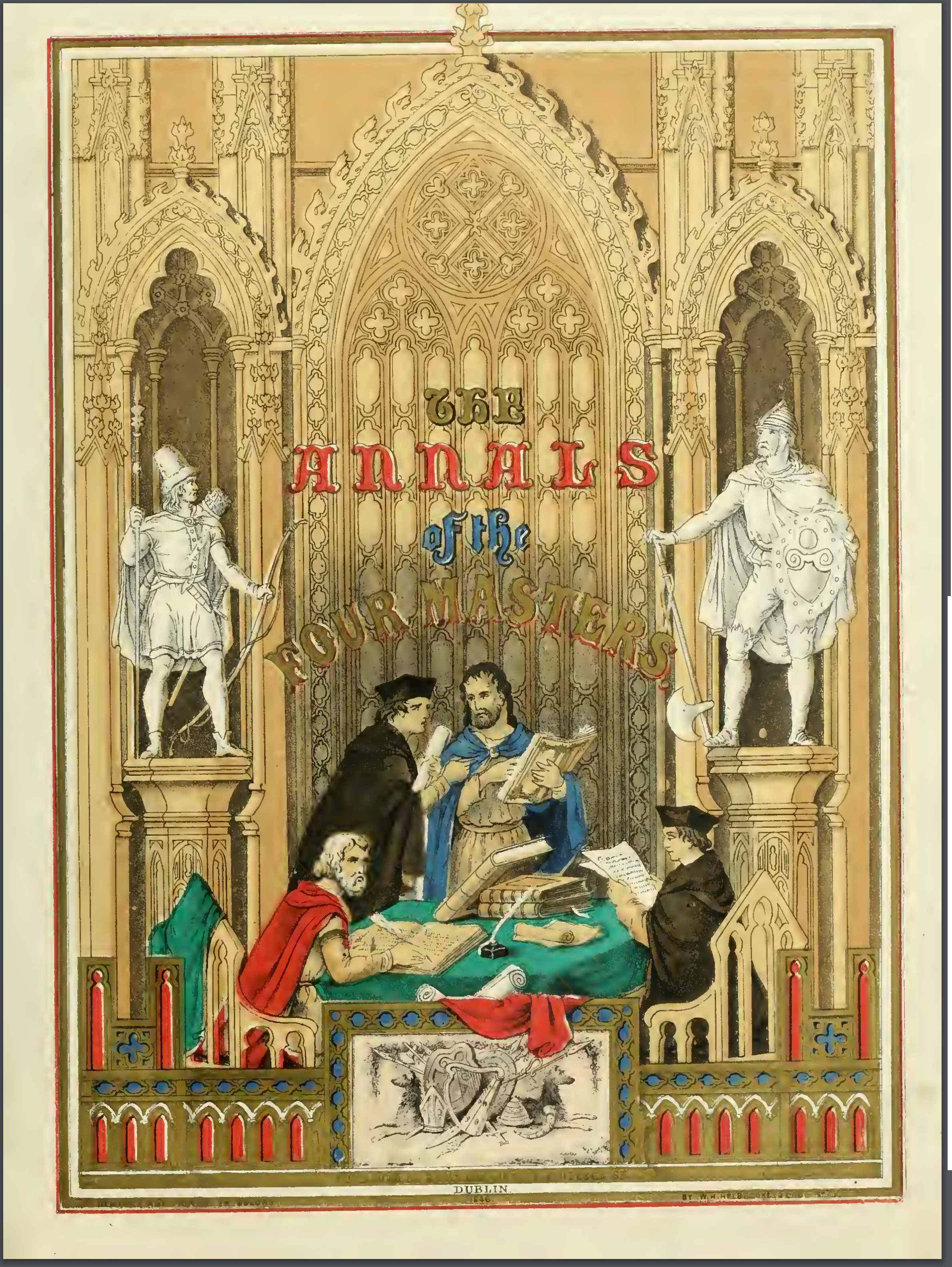
The ''Annals of the Kingdom of Ireland'' () or the ''Annals of the Four Masters'' () are chronicles of Middle Ages, medieval Irish history. The entries span from the Genesis flood narrative, Deluge, dated as 2,242 Anno Mundi, years after creation to AD 1616. Publication delay Due to the criticisms by 17th-century Irish historian Tuileagna Ó Maol Chonaire, the text was not published in the lifetimes of any of the participants. Text The annals are mainly a compilation of earlier annals, although there is some original work. They were compiled between 1632 and 1636, allegedly in a cottage beside the ruins of Donegal Abbey, just outside Donegal (town), Donegal Town. At this time, however, the Franciscans had a house of refuge by the River Drowes in County Leitrim, just outside Ballyshannon, and it was here, according to others, that the ''Annals'' were compiled. [...More Info...] [...Related Items...] OR: [Wikipedia] [Google] [Baidu] |
Munster
Munster ( or ) is the largest of the four provinces of Ireland, located in the south west of the island. In early Ireland, the Kingdom of Munster was one of the kingdoms of Gaelic Ireland ruled by a "king of over-kings" (). Following the Norman invasion of Ireland, the ancient kingdoms were shired into Counties of Ireland#2.1 Pre-Norman sub-divisions, counties for administrative and judicial purposes. In later centuries, local government legislation has seen further sub-division of the historic counties. Munster has no official function for Local government in the Republic of Ireland, local government purposes. For the purposes of the International Organization for Standardization, ISO, the province is listed as one of the provincial sub-divisions of the State (ISO 3166-2:IE) and coded as "IE-M". Geographically, Munster covers a total area of and has a population of 1,373,346, with the most populated city being Cork (city), Cork. Other significant urban centres in the provin ... [...More Info...] [...Related Items...] OR: [Wikipedia] [Google] [Baidu] |
Leinster
Leinster ( ; or ) is one of the four provinces of Ireland, in the southeast of Ireland. The modern province comprises the ancient Kingdoms of Meath, Leinster and Osraige, which existed during Gaelic Ireland. Following the 12th-century Norman invasion of Ireland, the historic "fifths" of Leinster and Meath gradually merged, mainly due to the impact of the Pale, which straddled both, thereby forming the present-day province of Leinster. The ancient kingdoms were shired into a number of counties for administrative and judicial purposes. In later centuries, local government legislation has prompted further sub-division of the historic counties. Leinster has no official function for local-government purposes. However, it is an officially recognised subdivision of Ireland and is listed on ISO 3166-2 as one of the four provinces of Ireland. "IE-L" is attributed to Leinster as its ''country sub-division'' code. Leinster had a population of 2,858,501 according to the prelim ... [...More Info...] [...Related Items...] OR: [Wikipedia] [Google] [Baidu] |
Dublin Castle
Dublin Castle () is a major Government of Ireland, Irish government complex, conference centre, and tourist attraction. It is located off Dame Street in central Dublin. It is a former motte-and-bailey castle and was chosen for its position at the highest point of central Dublin. Until 1922 it was the seat of the Dublin Castle administration, British government's administration in Ireland. Many of the current buildings date from the 18th century, though a castle has stood on the site since the days of King John, King of England, John, the first Lordship of Ireland, Lord of Ireland. The Castle served as the seat of English, then later British, government of Ireland under the Lordship of Ireland (1171–1541), the Kingdom of Ireland (1541–1800), and the United Kingdom of Great Britain and Ireland (1801–1922). After the signing of the Anglo-Irish Treaty in December 1921, the complex was ceremonially handed over to the newly formed Provisional Government of Ireland (1922), Prov ... [...More Info...] [...Related Items...] OR: [Wikipedia] [Google] [Baidu] |
Dublin
Dublin is the capital and largest city of Republic of Ireland, Ireland. Situated on Dublin Bay at the mouth of the River Liffey, it is in the Provinces of Ireland, province of Leinster, and is bordered on the south by the Dublin Mountains, part of the Wicklow Mountains range. Dublin is the largest city by population on the island of Ireland; at the 2022 census of Ireland, 2022 census, the city council area had a population of 592,713, while the city including suburbs had a population of 1,263,219, County Dublin had a population of 1,501,500. Various definitions of a metropolitan Greater Dublin Area exist. A settlement was established in the area by the Gaels during or before the 7th century, followed by the Vikings. As the Kingdom of Dublin grew, it became Ireland's principal settlement by the 12th century Anglo-Norman invasion of Ireland. The city expanded rapidly from the 17th century and was briefly the second largest in the British Empire and sixth largest in Western Europ ... [...More Info...] [...Related Items...] OR: [Wikipedia] [Google] [Baidu] |
River Liffey
The River Liffey (Irish language, Irish: ''An Life'', historically ''An Ruirthe(a)ch'') is a river in eastern Ireland that ultimately flows through the centre of Dublin to its mouth within Dublin Bay. Its major Tributary, tributaries include the River Dodder, the River Poddle and the River Camac. The river supplies much of Dublin's water and supports a range of recreational activities. Name While Ptolemy's ''Geography (Ptolemy), Geography'' (2nd century AD) describes a river which he labels Οβοκα (''Oboka''), this is not the Liffey: ultimately it leads to the name of the River Avoca in County Wicklow. According to "Place Names from our Older Literature - IV." by Boswell, C. S. (1904 Connradh na Gaedhilge) the river takes its name from Magh Life, i.e. the plain of Kildare through which the Life flows. This in turn takes its name from Life, daughter of Canann Curthach, who eloped with and married Deltbanna mac Druchta, cup-bearer to Conaire Mór High King of Ireland. Life ... [...More Info...] [...Related Items...] OR: [Wikipedia] [Google] [Baidu] |
River Boyne
The River Boyne ( or ''Abhainn na Bóinne'') is a river in Leinster, Ireland, the course of which is about long. It rises at Trinity Well, Newberry Hall, near Carbury, County Kildare, and flows north-east through County Meath to reach the Irish Sea between Mornington, County Meath, and Baltray, County Louth. Names and etymology This river has been known since ancient times. The Greek geographer Ptolemy drew a map of Ireland in the 2nd century that included the Boyne, which he called (''Bouwinda'') or (''Boubinda''), which in Celtic means "white cow" (). During the High Middle Ages, Giraldus Cambrensis called it the ''Boandus''. In Irish mythology it is said that the river was created by the goddess Boann and Boyne is an anglicised form of the name. In other legends, it was in this river where Fionn mac Cumhail captured Fiontán, the Salmon of Knowledge. The Meath section of the Boyne was also known as ''Smior Fionn Feidhlimthe'' (the 'marrow of Fionn Feilim'). T ... [...More Info...] [...Related Items...] OR: [Wikipedia] [Google] [Baidu] |
Giraldus Cambrensis
Gerald of Wales (; ; ; ) was a Cambro-Norman priest and historian. As a royal clerk to the king and two archbishops, he travelled widely and wrote extensively. He studied and taught in France and visited Rome several times, meeting the Pope. He was nominated for several bishoprics but turned them down in the hope of becoming Bishop of St Davids, but was unsuccessful despite considerable support. His final post was as Archdeacon of Brecon, from which he retired to academic study for the remainder of his life. Much of his writing survives. Life Early life Born at Manorbier Castle in Pembrokeshire, Wales, Gerald was of mixed Norman and Welsh descent. Gerald was the youngest son of William Fitz Odo de Barry (or Barri), the common ancestor of the De Barry family of Barry, Glamorganshire, who subsequently invaded Ireland, a retainer of Arnulf de Montgomery and Gerald de Windsor, and one of the most powerful Anglo-Norman barons in Wales. His mother was Angharad FitzGerald, ... [...More Info...] [...Related Items...] OR: [Wikipedia] [Google] [Baidu] |
Great Britain
Great Britain is an island in the North Atlantic Ocean off the north-west coast of continental Europe, consisting of the countries England, Scotland, and Wales. With an area of , it is the largest of the British Isles, the List of European islands by area, largest European island, and the List of islands by area, ninth-largest island in the world. It is dominated by a maritime climate with narrow temperature differences between seasons. The island of Ireland, with an area 40 per cent that of Great Britain, is to the west – these islands, along with over List of islands of the British Isles, 1,000 smaller surrounding islands and named substantial rocks, comprise the British Isles archipelago. Connected to mainland Europe until 9,000 years ago by a land bridge now known as Doggerland, Great Britain has been inhabited by modern humans for around 30,000 years. In 2011, it had a population of about , making it the world's List of islands by population, third-most-populous islan ... [...More Info...] [...Related Items...] OR: [Wikipedia] [Google] [Baidu] |
Al-Andalus
Al-Andalus () was the Muslim-ruled area of the Iberian Peninsula. The name refers to the different Muslim states that controlled these territories at various times between 711 and 1492. At its greatest geographical extent, it occupied most of the peninsula as well as Septimania under Umayyad rule. These boundaries changed through a series of conquests Western historiography has traditionally characterized as the ''Reconquista'',"Para los autores árabes medievales, el término Al-Andalus designa la totalidad de las zonas conquistadas – siquiera temporalmente – por tropas arabo-musulmanas en territorios actualmente pertenecientes a Portugal, España y Francia" ("For medieval Arab authors, Al-Andalus designated all the conquered areas – even temporarily – by Arab-Muslim troops in territories now belonging to Spain, Portugal and France"), García de Cortázar, José Ángel. ''V Semana de Estudios Medievales: Nájera, 1 al 5 de agosto de 1994'', Gobie ... [...More Info...] [...Related Items...] OR: [Wikipedia] [Google] [Baidu] |


