|
Tetelia–Byrnihat Line
The Tetelia-Byrnihat Line is a planned railway project in Assam and Meghalaya, India, to improve connectivity and boost the region's economy. History In the 19th century, the Cherra Companyganj State Railways had a station called Tharia in Meghalaya, connected to Companyganj in Bangladesh, but it closed after an earthquake damaged the line. In the late 1970s, there was an attempt to build a railway from Guwahati to Byrnihat in Meghalaya, but local opposition stopped the project before any rails were laid. Railway in Meghalaya Existing * Mendipathar–Guwahati Passenger, Mendipathar–Guwahati line, total 131 km long with 20 km in Meghalaya connects Meghalaya’s North Garo Hills to India's rail network, operational since 2014. (first rail line in Meghalaya). Under-construction * Tetelia-Shillong lineis divided into two main phases: ** Tetelia-Byrnihat line, 22 kilometers (14 miles) railway line from Tetelia Junction in Assam to Byrnihat in Meghalaya, project was on hol ... [...More Info...] [...Related Items...] OR: [Wikipedia] [Google] [Baidu] |
Assam
Assam (, , ) is a state in Northeast India, northeastern India, south of the eastern Himalayas along the Brahmaputra Valley, Brahmaputra and Barak River valleys. Assam covers an area of . It is the second largest state in Northeast India, northeastern India by area and the largest in terms of population, with more than 31 million inhabitants. The state is bordered by Bhutan and Arunachal Pradesh to the north; Nagaland and Manipur to the east; Meghalaya, Tripura, Mizoram and Bangladesh to the south; and West Bengal to the west via the Siliguri Corridor, a strip of land that connects the state to the rest of India. Assamese language, Assamese and Bodo language, Bodo are two of the official languages for the entire state and Meitei language, Meitei (Manipuri language, Manipuri) is recognised as an additional official language in three districts of Barak Valley and Hojai district. in Hojai district and for the Barak valley region, alongside Bengali language, Bengali, which is also ... [...More Info...] [...Related Items...] OR: [Wikipedia] [Google] [Baidu] |
Dawki
Dawki or Dauki is a town in West Jaintia Hills district, Meghalaya, India. Geography It is located at , on the border between India and Bangladesh. Dawki Border-crossing Dawki Integrated Check Post or ''Dawki border crossing'' is on Dawki-Tamabil is one of the few road border crossings between India and Bangladesh in West Jaintia Hills district in the state of Meghalaya, India, the corresponding post in Bangladesh is Tamabil post. Dawki ICP foundation stone was laid in January 2017 and will become operation in 2-18.Dawki ICP foundation stone laid It is used mainly for coal transportation to . Some 500 trucks cross the border ... [...More Info...] [...Related Items...] OR: [Wikipedia] [Google] [Baidu] |
Rail Transport In Assam
Rail or rails may refer to: Rail transport *Rail transport and related matters *Railway track or railway lines, the running surface of a railway Arts and media Film * ''Rails'' (film), a 1929 Italian film by Mario Camerini * ''Rail'' (1967 film), a film by Geoffrey Jones for British Transport Films * ''Rail'' (2024 film), a Tamil-language film Magazines * ''Rail'' (magazine), a British rail transport periodical * ''Rails'' (magazine), a former New Zealand based rail transport periodical Other arts *The Rails, a British folk-rock band * Rail (theater) or batten, a pipe from which lighting, scenery, or curtains are hung Technology *Rails framework or Ruby on Rails, a web application framework *Rail system (firearms), a mounting system for firearm attachments *Front engine dragster *Runway alignment indicator lights, a configuration of an approach lighting system *Rule Augmented Interconnect Layout, a specification for expressing guidelines for printed circuit boards; companion ... [...More Info...] [...Related Items...] OR: [Wikipedia] [Google] [Baidu] |
North Eastern Railway Connectivity Project
North Eastern Railway Connectivity Project is an multi phased railway connectivity project in Northeast India which comprises states of Arunachal Pradesh, Assam, Manipur, Meghalaya, Mizoram, Nagaland and Tripura and it also includes the state of Sikkim. These states come under Northeast Frontier Railway Zone of Indian Railways. This Railway project is considered as strategically important for India because it connects all the border states in this region and also close to ASEAN countries. The Government of India has planned and projected to connect all capitals of North Eastern states by 2030est. Background The Northeast region is a strategically important area to counter China. These state are connected to India through the very narrow area of Siliguri Corridor. After China's claims over the Doklam area of Bhutan and India, it has become important for India to boost connectivity in this region. The project PM Gati Shakti aims to boost connectivity across the country and to co ... [...More Info...] [...Related Items...] OR: [Wikipedia] [Google] [Baidu] |
Mahendraganj Assembly Constituency
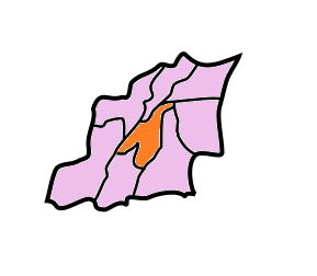
Mahendraganj is one of the 60 Legislative Assembly constituencies of Meghalaya state in India. It is part of South West Garo Hills district and it shares its international border with Bangladesh. Members of the Legislative Assembly Election results Assembly Election 2023 Assembly Election 2018 Assembly Election 2013 Assembly Election 2008 Assembly Election 2003 Assembly Election 1998 Assembly Election 1993 Assembly Election 1988 Assembly Election 1983 Assembly Election 1978 Assembly Election 1972 See also * List of constituencies of the Meghalaya Legislative Assembly * West Garo Hills district West Garo Hills is an administrative district in Garo Hills of the state of Meghalaya in India. Tura, Meghalaya, Tura town is the administrative headquarters of the district. The district occupies an area of 3714 km². In 2011, its populatio .. ... [...More Info...] [...Related Items...] OR: [Wikipedia] [Google] [Baidu] |
East Khasi Hills
East Khasi Hills is an administrative district in the state of Meghalaya in India. The district headquarters are located at Shillong. The district occupies an area of 2,748 km2 and has a population of 825,922 (as of 2011). , it is the most populous of Meghalaya's Districts of Meghalaya, 12 districts. History The former Khasi Hills district was divided into East and West Khasi Hills districts on 28 October 1976. On 4 June 1992, East Khasi Hills District was further divided into two administrative districts of East Khasi Hills District and Ri-Bhoi District. Geography Shillong is the district headquarters of East Khasi Hills District. East Khasi Hills District forms a central part of Meghalaya and covers a total geographical area of 2,748 km2. It lies approximately between 25°07" & 25°41" N Lat. And 91°21" & 92°09" E Long. The north of the district is bounded by the plain of Ri-Bhoi District gradually rising to the rolling grasslands of the Shillong Plateau inte ... [...More Info...] [...Related Items...] OR: [Wikipedia] [Google] [Baidu] |
Cherrapunji
Cherrapunji () - popularly known as, or Sohra - it's original native and official name, is a sub-divisional town (Proposed District) East Khasi Hills district in the Indian state of Meghalaya. It was the traditional capital of ''ka hima Sohra'' (Khasi tribal kingdom). Sohra has often been credited as being the wettest place on Earth, but currently, nearby Mawsynram holds that distinction. Sohra still holds the all-time record for the most rainfall in a calendar month and in a year, however. It received in July 1861 and between 1 August 1860 and 31 July 1861. Background Etymology The original native name for this town in Khasi language is ''Sohra'' (soh-ra), which was mispronounced "Cherra" by the 19th century British colonisers. Later, the suffix ''"punjee"'', a bengali term meaning "a cluster of villages", was added by people from the plains, and the name evolved into ''Cherrapunji'', meaning "land of oranges" in some interpretations, popularized by tourists from other ... [...More Info...] [...Related Items...] OR: [Wikipedia] [Google] [Baidu] |
Mawlynnong
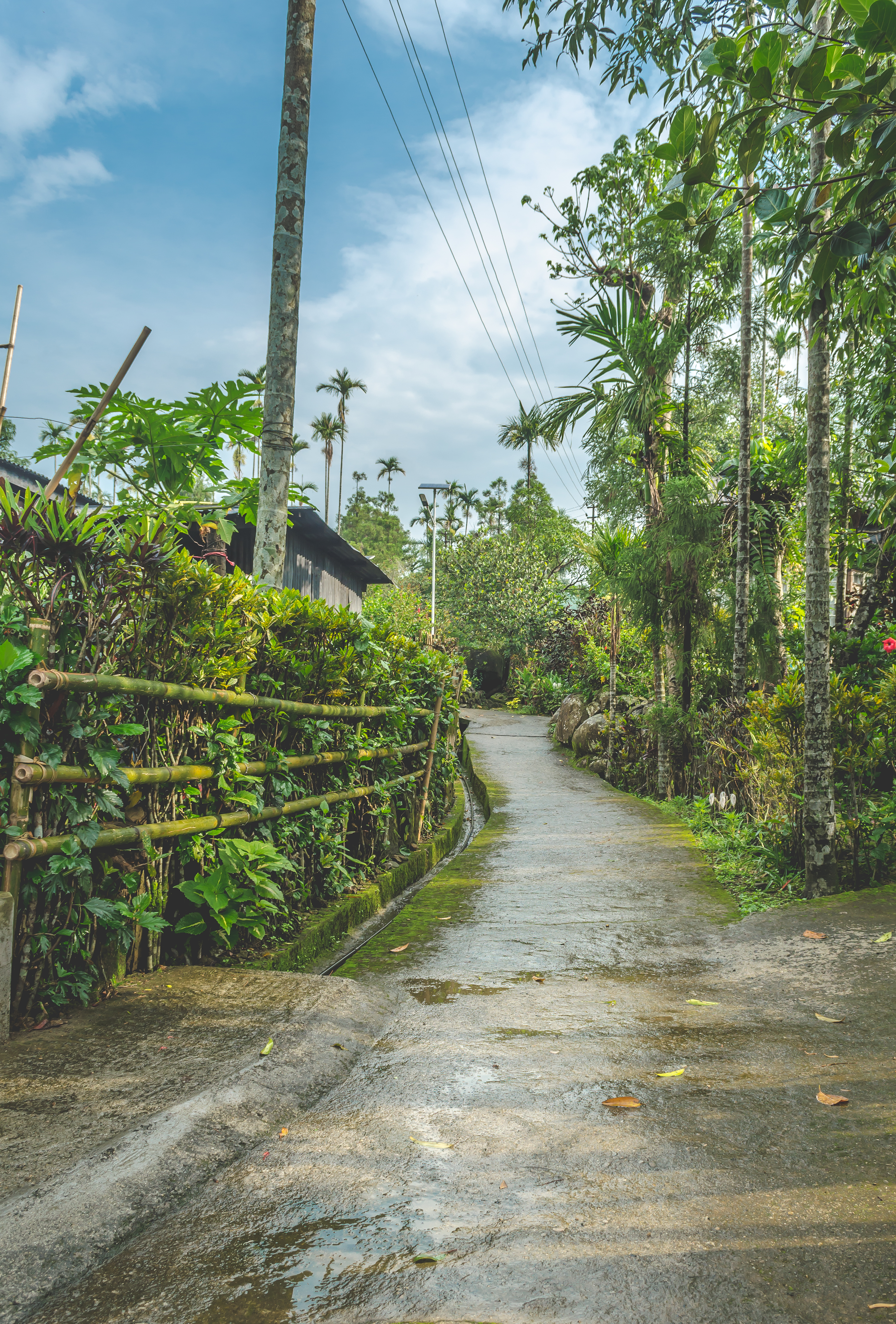
Mawlynnong is a village in the East Khasi Hills district of the Meghalaya state in North East India. It is notable for its cleanliness and also was chosen by Discover India magazine as Asia's cleanest village. The village comes under the Pynursla community development block and Vidhan Sabha (legislative assembly) constituency. Geography Mawlynnong is located 90 km from Shillong, along the India–Bangladesh border. Kalain "The Gateway Of Barak Valley" is 187 km from Mawlynnong. A famous geographical occurrence in Mawlynnong is the Balancing Rock of Mawlynnong Demographics As of 2019, Mawlynnong had 900 residents.Nieves, Evelyn.Girls Rule in an Indian VillageArchive. ''The New York Times''. 3 June 2015. Retrieved on 5 June 2015. , there are about 95 households in Mawlynnong. The literacy rate is 90%.Eco Destination [...More Info...] [...Related Items...] OR: [Wikipedia] [Google] [Baidu] |
Bangladesh–India Border
The Bangladesh–India border, known locally as the Radcliffe line, is an international boundary, international border running between the republics of Bangladesh and India. Six Divisions of Bangladesh, Bangladeshi divisions and five States and union territories of India, Indian states lie along the border. Bangladesh and India share a international border, the fifth-longest land border in the world,The four longer land borders are *Canada–United States border, between Canada and the United States *Kazakhstan–Russia border, between Russia and Kazakhstan *Argentina–Chile border, between Argentina and Chile, and *China–Mongolia border, between China and Mongolia. China–Russia border, The border between China and Russia is also sometimes cited as being longer than the India–Bangladesh border. including in Assam, in Tripura, in Mizoram, in Meghalaya and in West Bengal. The Bangladeshi divisions of Mymensingh Division, Mymensingh, Khulna Division, Khulna, Rajshahi ... [...More Info...] [...Related Items...] OR: [Wikipedia] [Google] [Baidu] |


