|
Szápár
Szápár (historically: ''Szapár;'' Slovak: Capár,Cáfár) Lelkes György (szerk): Magyar helységnév-azonosító szótár. Argumentum, KSH Könyvtár, 2011. pp. 618, 883. is a village in Veszprém county, Hungary in Zirc District. History Szápár was the ancestral home of the Szapáry family, and its name was first mentioned in documents in 1341. The Szapáry family's castle on Sánc-mount was destroyed during the Ottoman occupation, along with the village, which later only appeared as a mere settlement. The area remained uninhabited until the 18th century and was briefly considered part of the Csesznek Castle's properties. In 1752, the depopulated settlement was repopulated by the Szapáry family with Catholic Slovaks from Nitra and Trencsén counties, some of whom migrated from the nearby Áka.Erik Fügedi – Ferenc Gregor – Péter Király: Atlas slovenských nárečí v Maďarsku = Atlas der slowakischen Mundarten in Ungarn. Slovenský výskumný ústav Zväzu Slo ... [...More Info...] [...Related Items...] OR: [Wikipedia] [Google] [Baidu] |
Veszprém County
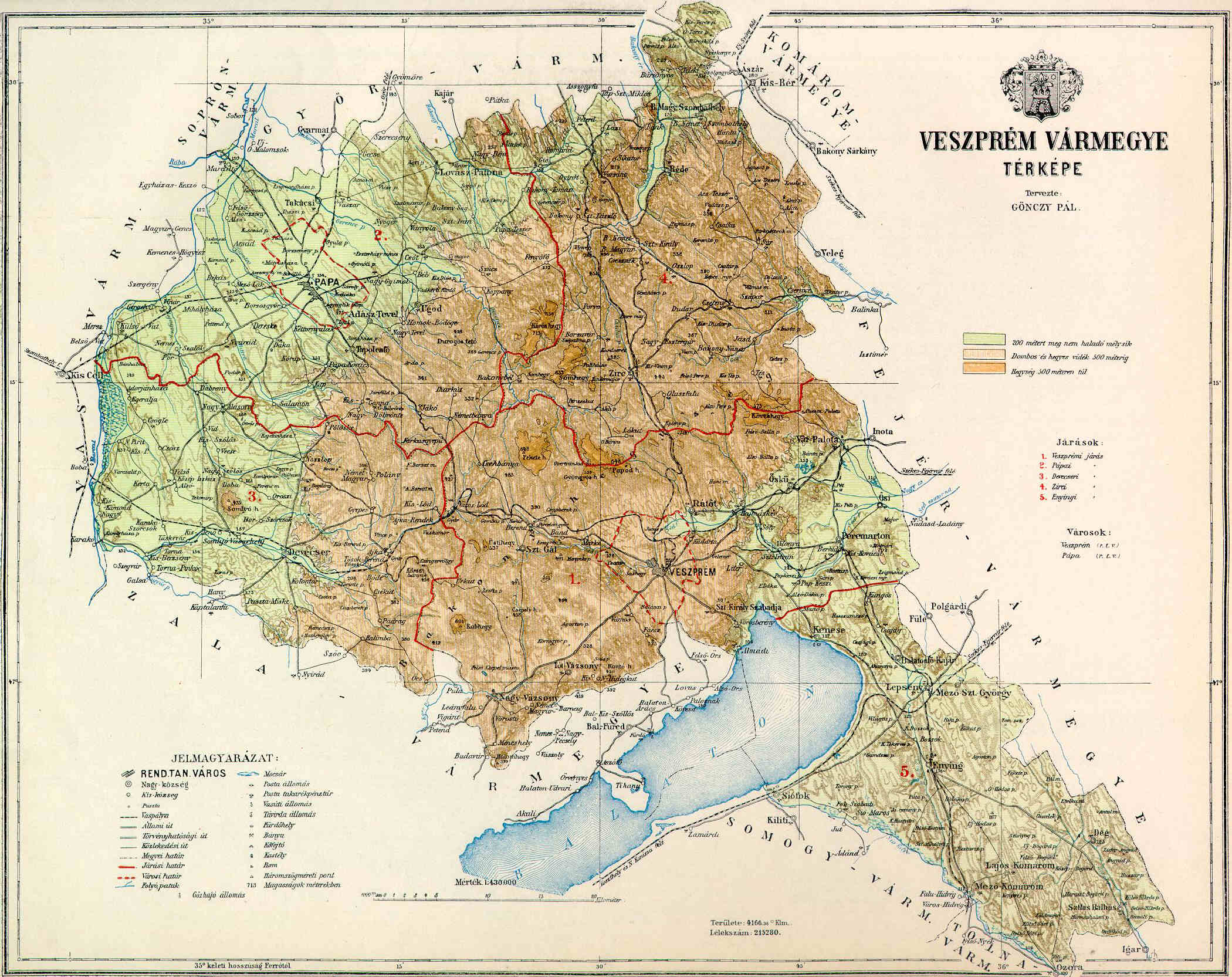
Veszprém (, ; ) is an administrative county (''vármegye'') in Hungary. Veszprém is also the name of the capital city of Veszprém county. Veszprém county Veszprém county lies in western Hungary. It covers the Bakony hills and the northern shore of Lake Balaton. It shares borders with the Hungarian counties Vas, Győr-Moson-Sopron, Komárom-Esztergom, Fejér, Somogy and Zala. The capital of Veszprém county is Veszprém. The river Marcal runs along part of its western border. Its area is 4,613 km². History Demographics In 2015, the county had a population of 346,647 and the population density was 77/km². Ethnicity Besides the Hungarian majority, the main minorities are the Germans and Roma. Total population (2011 census): 353,068 Ethnic groups (2011 census): Identified themselves: 315,436 persons: *Hungarians: 299,410 (94.92%) *Germans: 8,473 (2.69%) * Romani: 5,162 (1.64%) *Others and indefinable: 2,391 (0.76%) Approximately 51,000 persons in Veszpr ... [...More Info...] [...Related Items...] OR: [Wikipedia] [Google] [Baidu] |
Zirc District
Zirc () is a district in north-eastern part of Veszprém County. ''Zirc'' is also the name of the town where the district seat is found. The district is located in the Central Transdanubia, Central Transdanubia Statistical Region. Geography Zirc District borders with Pannonhalma District ''(Győr-Moson-Sopron County)'' and Kisbér District ''(Komárom-Esztergom County)'' to the north, Mór District ''(Fejér County)'' and Várpalota District to the east, Veszprém District to the south, Pápa District to the west. The number of the inhabited places in Zirc District is 15. Municipalities The district has 1 List of cities and towns of Hungary, town and 14 villages. (ordered by population, as of 1 January 2013) The bolded municipality is city. See also *List of cities and towns in Hungary References External links Postal codes of the Zirc District Districts in Veszprém County {{Veszprem-geo-stub ... [...More Info...] [...Related Items...] OR: [Wikipedia] [Google] [Baidu] |
Veszprém County
Veszprém (, ; ) is an administrative county (''vármegye'') in Hungary. Veszprém is also the name of the capital city of Veszprém county. Veszprém county Veszprém county lies in western Hungary. It covers the Bakony hills and the northern shore of Lake Balaton. It shares borders with the Hungarian counties Vas, Győr-Moson-Sopron, Komárom-Esztergom, Fejér, Somogy and Zala. The capital of Veszprém county is Veszprém. The river Marcal runs along part of its western border. Its area is 4,613 km². History Demographics In 2015, the county had a population of 346,647 and the population density was 77/km². Ethnicity Besides the Hungarian majority, the main minorities are the Germans and Roma. Total population (2011 census): 353,068 Ethnic groups (2011 census): Identified themselves: 315,436 persons: *Hungarians: 299,410 (94.92%) *Germans: 8,473 (2.69%) * Romani: 5,162 (1.64%) *Others and indefinable: 2,391 (0.76%) Approximately 51,000 persons in Veszpr ... [...More Info...] [...Related Items...] OR: [Wikipedia] [Google] [Baidu] |
1752
In the British Empire, it was the only year with 355 days (11 days were dropped), as September 3–13 were skipped when the Empire adoption of the Gregorian calendar, adopted the Gregorian calendar. Events January–March * January 1 – The British Empire (except Scotland, which had changed New Year's Day to January 1 in 1600) adopts today as the first day of the year as part of adoption of the Gregorian calendar, which is completed in September: today is the first day of the New Year under the terms of last year's Calendar (New Style) Act 1750, Calendar Act of the British Parliament. * February 10 – Pennsylvania Hospital, the first hospital in the United States, and the first to offer medical treatment to the mentally ill, admits its first patients at a temporary location in Philadelphia. * February 23 – Messier 83 (M83), the "Southern Pinwheel Galaxy" and the first to be cataloged outside the "Local Group" of galaxy, galaxies nearest to Earth's gal ... [...More Info...] [...Related Items...] OR: [Wikipedia] [Google] [Baidu] |
Slovakia
Slovakia, officially the Slovak Republic, is a landlocked country in Central Europe. It is bordered by Poland to the north, Ukraine to the east, Hungary to the south, Austria to the west, and the Czech Republic to the northwest. Slovakia's mostly mountainous territory spans about , hosting a population exceeding 5.4 million. The capital and largest city is Bratislava, while the second largest city is Košice. The Slavs arrived in the territory of the present-day Slovakia in the 5th and 6th centuries. From the late 6th century, parts of modern Slovakia were incorporated into the Pannonian Avars, Avar Khaghanate. In the 7th century, the Slavs played a significant role in the creation of Samo's Empire. When the Avar Khaghanate dissolved in the 9th century, the Slavs established the Principality of Nitra before it was annexed by the Great Moravia, Principality of Moravia, which later became Great Moravia. When Great Moravia fell in the 10th century, the territory was integrated i ... [...More Info...] [...Related Items...] OR: [Wikipedia] [Google] [Baidu] |
Martovce
Martovce (, Hungarian pronunciation:) is a village and municipality in the Komárno District in the Nitra Region of south-west Slovakia. Geography and population The village lies at an altitude of 112 metres and covers an area of 19.964 km2. As of census 2022, it has a population of 701 people.Statistical Office of the Slovak Republic (web) The population is about 85.1% Hungarian, 13.4% Slovak, 1% Romani and 0.4% other ethnic groups. History In the 9th century, the territory of Martovce became part of the Kingdom of Hungary. In historical records the village was first mentioned in 1438. After the Austro-Hungarian army disintegrated in November 1918, Czechoslovak troops occupied the area, later acknowledged internationally by the Treaty of Trianon. Between 1938 and 1945 Martovce once more became part of Miklós Horthy's Hungary through the First Vienna Award. From 1945 until the Velvet Divorce, it was part of Czechoslovakia. Since then it has been part of Slovakia. Faci ... [...More Info...] [...Related Items...] OR: [Wikipedia] [Google] [Baidu] |
Czechoslovak–Hungarian Population Exchange
The Czechoslovak–Hungarian population exchange was the exchange of inhabitants between Czechoslovakia and Hungary after World War II. Between 45,000 and 120,000 Hungarians were forcibly transferred from Czechoslovakia to Hungary, and their properties confiscated, while around 72,000 Slovaks voluntarily transferred from Hungary to Czechoslovakia. Post-war Czechoslovakia In 1945, at the end of World War II, Czechoslovakia was recreated and Czechoslovak politicians aimed to completely remove the German and Hungarian minorities from their territory through ethnic cleansing.Ethnic cleansing is a term that has come to be used broadly to describe all activities designed to force the removal of specific ethnicities from specific territories.() Both minorities were considered collectively as " war criminals", based on the actions of some individuals, such as Konrad Henlein, and the participation of their countries in the dismemberment of Czechoslovakia through the Munich Agreement and ... [...More Info...] [...Related Items...] OR: [Wikipedia] [Google] [Baidu] |
1947
It was the first year of the Cold War, which would last until 1991, ending with the dissolution of the Soviet Union. Events January * January–February – Winter of 1946–47 in the United Kingdom: The worst snowfall in the country in the 20th century causes extensive disruption of travel. Given the low ratio of private vehicle ownership at the time, it is mainly remembered in terms of its effects on the railway network. * January 1 – The ''Canadian Citizenship Act, 1946, Canadian Citizenship Act'' comes into effect, providing a Canadian citizenship separate from British law. * January 4 – First issue of weekly magazine ''Der Spiegel'' published in Hanover, Germany, edited by Rudolf Augstein. * January 10 – The United Nations adopts a resolution to take control of the free city of Trieste. * January 15 – Elizabeth Short, an aspiring actress nicknamed the "Black Dahlia", is found brutally murdered in a vacant lot in Los Angeles; the mysterious case is never solv ... [...More Info...] [...Related Items...] OR: [Wikipedia] [Google] [Baidu] |
Zirc
Zirc () is a town in Veszprém county, Hungary. It is the administrative seat of Zirc District. At the end of the 19th century and the beginning of the 20th century, Jews lived in Zirc. In 1910, 92 Jews lived in Zirc, Some of them were murdered in the Holocaust. Attractions * Zirc Abbey, a Cistercian abbey **Bakony Museum of Natural Sciences, situated in the territory of Zirc Abbey ** Reguly Antal Memorial Library * Zirc Arboretum * Reguly Antal Ethnographic Museum and Folk Art Workshop Twin towns – sister cities Zirc is twinned with: * Pohlheim, Germany (1990) *Baraolt, Romania (1990) *Nivala Nivala (formerly known as ''Pidisjärvi'') is a town and municipality of Finland. It is located in the Northern Ostrobothnia region. The town has a population of () and covers an area of of which is water. The population density is . The muni ..., Finland (1998) * Dertsen, Ukraine (2009) References External linksAerial photography: Zirc Populated places in Zirc District ... [...More Info...] [...Related Items...] OR: [Wikipedia] [Google] [Baidu] |
Nitra
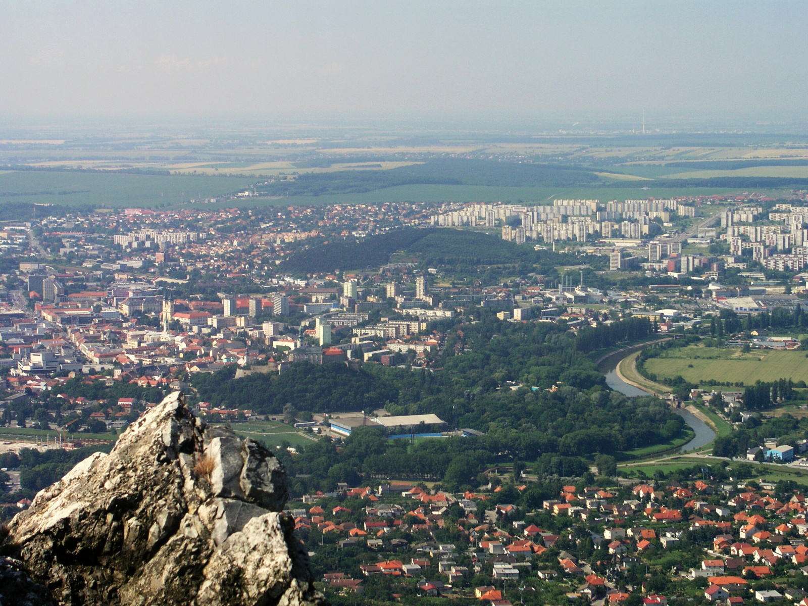
Nitra (; also known by other #Etymology, alternative names) is a city in western Slovakia, situated at the foot of Zobor Mountain in the valley of the river Nitra (river), Nitra. It is located 95 km east of Bratislava. With a population of about 78,353, it is the fifth largest city in Slovakia. Nitra is also one of the oldest cities in Slovakia; it was the political center of the Principality of Nitra. Today, it is a seat of a ''Regions of Slovakia, kraj'' (Nitra Region), and an ''Districts of Slovakia, okres'' (Nitra District). Etymology The first mention of Nitra dates back to the 9th century. The name of the city is derived from the Nitra River. The name is Indo-European languages, Indo-European, but the question of its History of Proto-Slavic#Pre-Slavic, pre-Slavic or Slavic people, Slavic origin has not been satisfactorily answered. Nitra might be derived from the old Indo-European root ''neit-'', ''nit-'' 'to cut' or 'to burn' using the derivational element ''-r-'' (se ... [...More Info...] [...Related Items...] OR: [Wikipedia] [Google] [Baidu] |
Countries Of The World
The following is a list providing an overview of sovereign states around the world with information on their status and recognition of their sovereignty. The 205 listed states can be divided into three categories based on membership within the United Nations System: 193 member states of the United Nations, UN member states, two United Nations General Assembly observers#Current non-member observers, UN General Assembly non-member observer states, and ten other states. The ''sovereignty dispute'' column indicates states having undisputed sovereignty (188 states, of which there are 187 UN member states and one UN General Assembly non-member observer state), states having disputed sovereignty (15 states, of which there are six UN member states, one UN General Assembly non-member observer state, and eight de facto states), and states having a political status of the Cook Islands and Niue, special political status (two states, both in associated state, free association with New ... [...More Info...] [...Related Items...] OR: [Wikipedia] [Google] [Baidu] |


