|
Sundarbasti
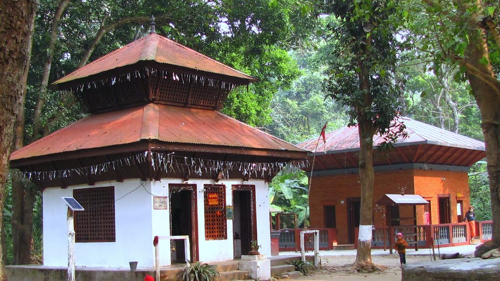
Sundarbasti is a village in Nepal which is situated in the Chitwan District of Bagmati Province. It is in the 14th ward of Bharatpur, and is famous for Gaucharan as a football ground where wardleague is held in occasion of dashain, a festival of Hinduism. The primary occupation in the village is agriculture. It is connected to Bharatpur by Madithori highway. Sangam hatchery is situated here. Name Sundarbasti is a compound word of Sundar (beautiful) and Basti (village). See also * chitwan Chitwan District (, , ) is one of seventy-seven districts of Nepal, and takes up the southwestern corner of Bagmati Province. Bharatpur, largest city of Nepal after Kathmandu, is its administrative centre. It covers , and in 2011 had a popul ... References Villages in Chitwan District {{Chitwan-geo-stub ... [...More Info...] [...Related Items...] OR: [Wikipedia] [Google] [Baidu] |
Chitwan
Chitwan District (, , ) is one of seventy-seven districts of Nepal, and takes up the southwestern corner of Bagmati Province. Bharatpur, largest city of Nepal after Kathmandu, is its administrative centre. It covers , and in 2011 had a population of 579,984 (279,087 male and 300,897 female) people. Bharatpur is the commercial and service centre of South Central Nepal and a major destination for higher education, health care and transportation in the region. Chitwan lies in the Terai region of Nepal. It is in the drainage basin of the Gandaki River and is roughly triangular, taking that river as its meandering northwestern border, and a modest watershed border, with India, as the basis of its southern limit. Local government: Bharatpur Metropolitan, Rapti Municipality, Ratnanagar Municipality, Kalika Municipality, Khairahani Municipality, Madi Municipality, Ikshyakamana Gaupalika History The district takes its name from the Chitwan Valley, one of Nepal's Inner Terai valleys ... [...More Info...] [...Related Items...] OR: [Wikipedia] [Google] [Baidu] |
Nepal
Nepal, officially the Federal Democratic Republic of Nepal, is a landlocked country in South Asia. It is mainly situated in the Himalayas, but also includes parts of the Indo-Gangetic Plain. It borders the Tibet Autonomous Region of China China–Nepal border, to the north, and India India–Nepal border, to the south, east, and west, while it is narrowly separated from Bangladesh by the Siliguri Corridor, and from Bhutan by the States and union territories of India, Indian state of Sikkim. Nepal has a Geography of Nepal, diverse geography, including Terai, fertile plains, subalpine forested hills, and eight of the world's ten List of highest mountains#List, tallest mountains, including Mount Everest, the highest point on Earth. Kathmandu is the nation's capital and List of cities in Nepal, its largest city. Nepal is a multi-ethnic, multi-lingual, multi-religious, and multi-cultural state, with Nepali language, Nepali as the official language. The name "Nepal" is first record ... [...More Info...] [...Related Items...] OR: [Wikipedia] [Google] [Baidu] |
Bagmati Province
Bagmati Province (, ''Bāgmatī pradēśa'') is one of the seven Provinces of Nepal, provinces of Nepal established by the constitution of Nepal. Bagmati is Nepal's second-most populous province and fifth largest province by area. It is bordered by Tibet Autonomous Region of China to the north, Gandaki Province to the west, Koshi Province to the east, Madhesh Province and the Indian state of Bihar to the south. With Hetauda as its provincial headquarters, the province is also the home to the country's capital Kathmandu, is mostly hilly and mountainous, and hosts mountain peaks including Gaurishankar, Langtang, Himalayas, Jugal, and Ganesh Himal, Ganesh. Being the second most populous province of Nepal, it possesses rich cultural diversity with resident communities and castes including Thami (Thangmi) (Shneiderman, 2009, 2015; Turin, 1998), Newar people, Newar, Tamang people, Tamang,Sherpa people, Sherpa, Tharu people, Tharu, Chepang people, Chepang, Jirel people, Jirel, Brahmin, ... [...More Info...] [...Related Items...] OR: [Wikipedia] [Google] [Baidu] |
Bharatpur, Nepal
Bharatpur (, , ) is a city in south central Nepal. It is the List of cities in Nepal, third most populous city of Nepal after Kathmandu and Pokhara with 369,377 inhabitants in 2021 Nepal census, 2021. It is also the second largest List of cities in Nepal, metropolitan city in Nepal by area. It is the district headquarter of the Chitwan District. Bharatpur is one of the fastest-growing cities in Nepal. It lies on the eastern bank of the Narayani River and serves as a commercial center of the Chitwan district and the central region of Nepal. Most of the shopping area lies in the area of Narayangadh, Chitwan, Narayangadh, while government offices, hospitals and colleges are situated in other parts of the city, including Nepal's premier cancer hospital, B.P Koirala Memorial Cancer Hospital. In March 2017, Bharatpur was declared a metropolitan city after Narayani Municipality, Chitrawan Municipality and Kabilas, Narayani, Kabilas Village were merged into it. Economy The economy ... [...More Info...] [...Related Items...] OR: [Wikipedia] [Google] [Baidu] |
Hindu
Hindus (; ; also known as Sanātanīs) are people who religiously adhere to Hinduism, also known by its endonym Sanātana Dharma. Jeffery D. Long (2007), A Vision for Hinduism, IB Tauris, , pp. 35–37 Historically, the term has also been used as a geographical, cultural, and later religious identifier for people living in the Indian subcontinent. It is assumed that the term ''"Hindu"'' traces back to Avestan scripture Vendidad which refers to land of seven rivers as Hapta Hendu which itself is a cognate to Sanskrit term ''Sapta Sindhuḥ''. (The term ''Sapta Sindhuḥ'' is mentioned in Rig Veda and refers to a North western Indian region of seven rivers and to India as a whole.) The Greek cognates of the same terms are "''Indus''" (for the river) and "''India''" (for the land of the river). Likewise the Hebrew cognate ''hōd-dū'' refers to India mentioned in Hebrew BibleEsther 1:1. The term "''Hindu''" also implied a geographic, ethnic or cultural identifier for ... [...More Info...] [...Related Items...] OR: [Wikipedia] [Google] [Baidu] |
Village
A village is a human settlement or community, larger than a hamlet but smaller than a town with a population typically ranging from a few hundred to a few thousand. Although villages are often located in rural areas, the term urban village is also applied to certain urban neighborhoods. Villages are normally permanent, with fixed dwellings; however, transient villages can occur. Further, the dwellings of a village are fairly close to one another, not scattered broadly over the landscape, as a dispersed settlement. In the past, villages were a usual form of community for societies that practice subsistence agriculture and also for some non-agricultural societies. In Great Britain, a hamlet earned the right to be called a village when it built a church.-4; we might wonder whether there's a point at which it's appropriate to talk of the beginnings of French, that is, when it wa ... ''village'', from Latin ''villāticus'', ultimately from Latin ''villa'' (English ''vi ... [...More Info...] [...Related Items...] OR: [Wikipedia] [Google] [Baidu] |
Agriculture
Agriculture encompasses crop and livestock production, aquaculture, and forestry for food and non-food products. Agriculture was a key factor in the rise of sedentary human civilization, whereby farming of domesticated species created food surpluses that enabled people to live in the cities. While humans started gathering grains at least 105,000 years ago, nascent farmers only began planting them around 11,500 years ago. Sheep, goats, pigs, and cattle were domesticated around 10,000 years ago. Plants were independently cultivated in at least 11 regions of the world. In the 20th century, industrial agriculture based on large-scale monocultures came to dominate agricultural output. , small farms produce about one-third of the world's food, but large farms are prevalent. The largest 1% of farms in the world are greater than and operate more than 70% of the world's farmland. Nearly 40% of agricultural land is found on farms larger than . However, five of every six farm ... [...More Info...] [...Related Items...] OR: [Wikipedia] [Google] [Baidu] |
Highway
A highway is any public or private road or other public way on land. It includes not just major roads, but also other public roads and rights of way. In the United States, it is also used as an equivalent term to controlled-access highway, or a translation for ''motorway'', ''Autobahn'', ''autostrada'', ''autoroutes of France, autoroute'', etc. According to Merriam-Webster, the use of the term predates the 12th century. According to Online Etymology Dictionary, Etymonline, "high" is in the sense of "main". In North American English, North American and Australian English, major roads such as controlled-access highways or arterial (road), arterial roads are often state highways (Canada: provincial highways). Other roads may be designated "county highways" in the US and Ontario. These classifications refer to the level of government (state, provincial, county) that maintains the roadway. In British English, "highway" is primarily a legal term. Everyday use normally implies roads, ... [...More Info...] [...Related Items...] OR: [Wikipedia] [Google] [Baidu] |


