|
Summerhill, Dumfries
Summerhill in Dumfries is a post war residential suburb on the west side of the town. It is located on the Maxwelltown side of the River Nith that runs through Dumfries. Summerhill is bounded by Terregles Road to the north, the streets that branch off Ellisland Drive to the east, the Dumfries and Galloway Golf Club to the south and west and also to the west by the disused Maxwelltown train station. Housing The suburb consists primarily, but not exclusively, of a mixture of terraced houses and blocks of three storey flats. Most of the streets in Summerhill were given names with connotations associated with Scotland's national poet Robert Burns. Burns lived in Dumfries for his last years and died there in 1796. Examples of the Burns influenced street names in Summerhill are Afton Drive, Armour Drive, Ballochmyle Terrace, Campbell Avenue, Doon Terrace, Ellisland Drive, Gilbert Circle, Glencairn Road, Mauchline Terrace and Mossgiel Avenue. The housing capacity of Summerhill was inc ... [...More Info...] [...Related Items...] OR: [Wikipedia] [Google] [Baidu] |
Dumfries
Dumfries ( ; ; from ) is a market town and former royal burgh in Dumfries and Galloway, Scotland, near the mouth of the River Nith on the Solway Firth, from the Anglo-Scottish border. Dumfries is the county town of the Counties of Scotland, historic county of Dumfriesshire. Before becoming King of Scots, Robert the Bruce killed his rival John Comyn III of Badenoch at Greyfriars Kirk in the town in 1306. The Young Pretender had his headquarters here towards the end of 1745. In World War II, the Norwegian armed forces in exile in Britain largely consisted of a brigade in Dumfries. Dumfries is nicknamed ''Queen of the South''. This is also the name of the town's Queen of the South F.C., football club. People from Dumfries are known colloquially in Scots language as ''Doonhamers''. Toponymy There are a number of theories on the etymology of the name, with an ultimately Common Celtic, Celtic derivation (either from Common Brittonic, Brythonic, Old Irish, Gaelic or a mixture of b ... [...More Info...] [...Related Items...] OR: [Wikipedia] [Google] [Baidu] |
Castle Douglas
Castle Douglas () is a town in Dumfries and Galloway, Scotland. It lies in the lieutenancy area of Kirkcudbrightshire, in the eastern part of Galloway, between the towns of Dalbeattie and Gatehouse of Fleet. It is in the ecclesiastical parish of Kelton. History Castle Douglas is built next to Carlingwark Loch in which traces of prehistoric crannogs can be found, evidence of early inhabitation of the area. A large bronze cauldron containing about 100 metal objects was found in Carlingwark Loch near Fir Island about 1866. The hoard of tools of iron and bronze is probably Romano-Belgic of the late first or early second centuries AD and is likely to have been a votive offering. It is now in the National Museums of Scotland in Edinburgh. To the north of the town Glenlochar is the site of two successive Roman forts: the first was built during the invasion of Agricola, and the second during the Antonine period. They appear to have been for cavalry units, and evidence has been ... [...More Info...] [...Related Items...] OR: [Wikipedia] [Google] [Baidu] |
List Of Places In Dumfries And Galloway
This List of places in Dumfries and Galloway is a list of links for any town, village, hamlet (place), hamlet in the historic counties of Kirkcudbrightshire, Dumfriesshire and Wigtownshire within the Dumfries and Galloway Council areas of Scotland, council area of Scotland. A *Ae, Dumfries and Galloway, Ae *Airds of Kells *Airieland *Amisfield *Anglo-Scottish border *Annan, Dumfries and Galloway, Annan, Annan railway station *Annandale, Dumfries and Galloway, Annandale, Annandale Water *Anwoth *Ardwell *Auchen Castle *Auchencairn B *Balcary Point *Balmaclellan *Balmaghie *Bankend, Dumfries and Galloway, Bankend *Bargrennan *Beattock *Beeswing, Dumfries and Galloway, Beeswing *Bogrie Hill *Bogue *Borgue, Dumfries and Galloway, Borgue *Bridge of Dee, Dumfries and Galloway, Bridge of Dee *Brydekirk C *Caerlaverock, Dumfries and Galloway, Caerlaverock, Caerlaverock Cairn, Caerlaverock Castle, Caerlaverock NNR, *Cairngaan *Cairn Valley, Cairn Valley Light Railway ... [...More Info...] [...Related Items...] OR: [Wikipedia] [Google] [Baidu] |
Dumfries Rugby Club
Dumfries Saints RFC is a rugby union club based in Dumfries, Scotland. The team currently plays in Scottish National League Division Two, the third tier of Scottish club rugby. History The first rugby club from Dumfries to be admitted to the SRU was Dumfries Rangers in 1876–77. The club re-emerged in 1901 as Dumfries (without the 'Rangers') and after a lapse was re-admitted to the SRU in 1923 as Dumfries RFC. The club played at Downfield until 1939 and then at Marchfield and Summerhill. Then came a major turning point in 1953 when the club negotiated a deal to play at Park Farm. The name Dumfries Saints was adopted to reflect the link to Saint Michael and the town crest which has always been used by the club. Dumfries Sevens The club run the Dumfries Sevens. Teams play for the Dumfries Challenge Cup. Honours * Scottish National League Division Three (fourth tier) ** Champions: 2016-17 *National League Cup: 2017–18 * Newton Stewart Sevens: 2009 * Irvine Sevens: 1981 * ... [...More Info...] [...Related Items...] OR: [Wikipedia] [Google] [Baidu] |
HM Prison Dumfries
HM Prison Dumfries services the courts of Dumfries and Galloway, Scotland. The establishment serves as a local community prison that holds adult and under 21 males who are remanded in custody for trial and those convicted but remanded for reports. The prison was built in 1883 by Thomas Bernard Collinson and extended with additions in 1988. The old building is a Category B Listed Building. It is one of only three purpose built 19th century prisons still in use, the others being HM Prison Perth and HM Prison Barlinnie. Residential units There are five main residential halls A, B, C, D and E and a basement B Zero which includes prisoners on observation/separation. Notable prisoners * Kevin Guthrie, actor and convicted sex offender [...More Info...] [...Related Items...] OR: [Wikipedia] [Google] [Baidu] |
Maxwelltown High School
Maxwelltown High School was a state funded, six-year comprehensive secondary school in the Lochside area of Dumfries, Scotland. Founded in 1971, Maxwelltown High School was the most recently founded secondary school in Dumfries and Galloway, before merging with other schools into North West Community Campus. It had 311 pupils as of August 2012.Maxwelltown High School Handbook . ''Dumfries and Galloway Council''. 2012. The roll of Maxwelltown High School had been steadily declining since 2002. Although attainment throughout the school was generally lower than the national averages for equivalent qualifications, this improved in later years and the school was known as being a leader in curriculum development. [...More Info...] [...Related Items...] OR: [Wikipedia] [Google] [Baidu] |
Dumfries Academy
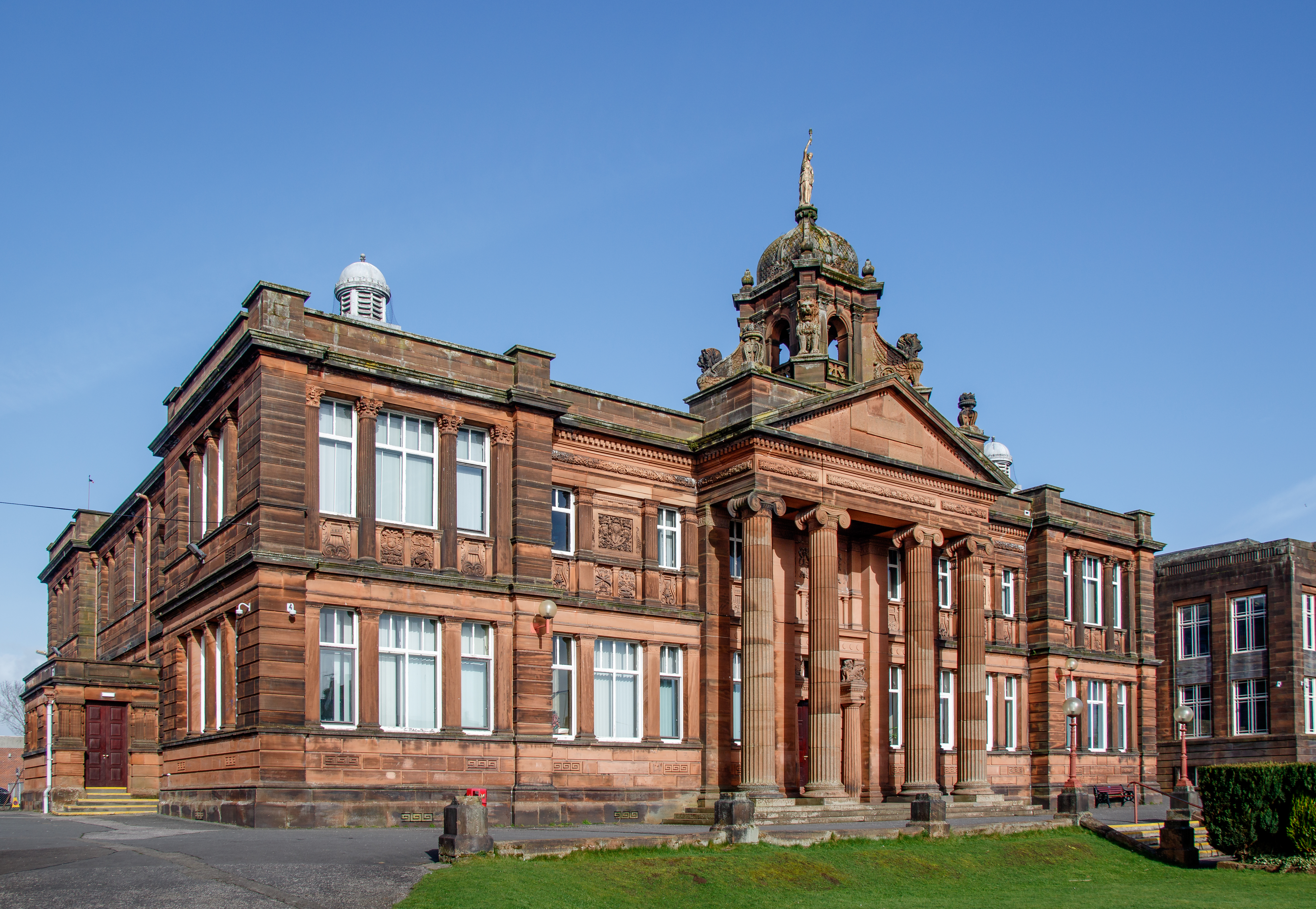
Dumfries Academy is one of four secondary schools in Dumfries in south west Scotland. It is a state funded secondary school for both girls and boys. The schools moto is "doctrina promovet" which translates from Latin to "learning promotes" which the school emphases within their "vision, values and aims". There are two notable buildings; the Minerva Building 1895-7 by F J C Carruthers and a later building by County Architect John R Hill, 1936. History Dumfries Academy dates back to the 14th century, making it the earliest school in the Dumfries area. The school has occupied a number of different buildings, and has existed in its present form since 1804. Early records show that John of Greyfriars, a monk, was appointed rector of a new school in Dumfries in 1330. Being a church school it concentrated on the study of religious texts, but in the centuries which followed other schools built in the town which taught subjects such as brewing, mathematics, English, baking, and needlewor ... [...More Info...] [...Related Items...] OR: [Wikipedia] [Google] [Baidu] |
Imperial Chemical Industries
Imperial Chemical Industries (ICI) was a British Chemical industry, chemical company. It was, for much of its history, the largest manufacturer in Britain. Its headquarters were at Millbank in London. ICI was listed on the London Stock Exchange and was a constituent of the FT 30 and later the FTSE 100 Index, FTSE 100 indices. ICI was formed in 1926 as a result of the merger of four of Britain's leading chemical companies. From the onset, it was involved in the production of various chemicals, explosives, fertilisers, insecticides, dyestuffs, non-ferrous metals, and paints; the firm soon become involved in plastics and a variety of speciality products, including food ingredients, polymers, electronic materials, fragrances and flavourings. During the Second World War, ICI's subsidiary Nobel Enterprises, ICI Nobel produced munitions for Britain's war effort; the wider company was also involved with Britain's nuclear weapons programme codenamed Tube Alloys. Throughout the 1940s and ... [...More Info...] [...Related Items...] OR: [Wikipedia] [Google] [Baidu] |
Beeching Axe
The Beeching cuts, also colloquially referred to as the Beeching Axe, were a major series of route closures and service changes made as part of the restructuring of the nationalised railway system in Great Britain in the 1960s. They are named for Dr. Richard Beeching, then-chair of the British Railways Board and the author of two reports''The Reshaping of British Railways'' (1963) and ''The Development of the Major Railway Trunk Routes'' (1965) that set out proposals for restructuring the railway network, with the stated aim of improving economic efficiency. The first report identified 2,363 stations and of railway line for closure, amounting to 55% of stations, 30% of route miles, and the loss of 67,700 British Rail jobs, with an objective of stemming the large losses being incurred during a period of increasing competition from road transport and reducing the rail subsidies necessary to keep the network running. The second report identified a small number of major routes f ... [...More Info...] [...Related Items...] OR: [Wikipedia] [Google] [Baidu] |
Maxwelltown Railway Station
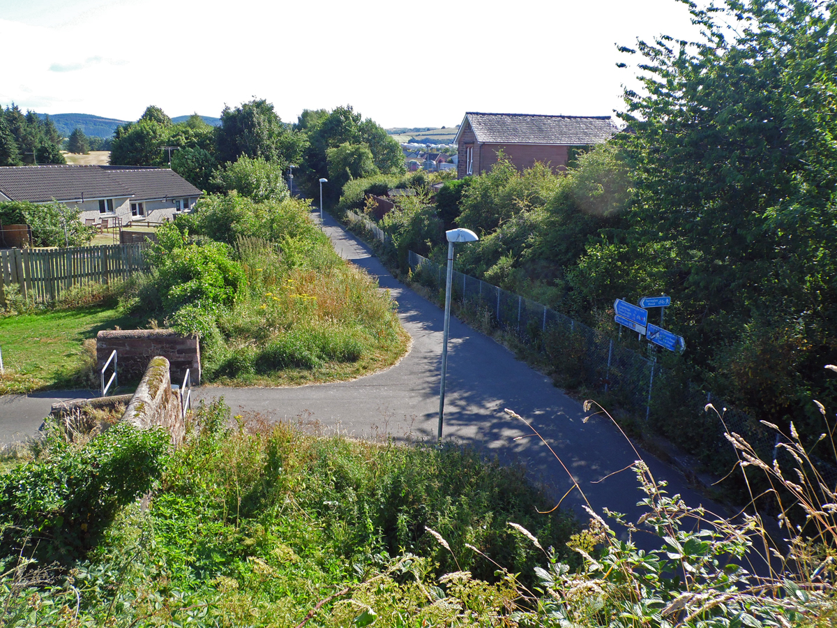
Maxwelltown railway station was a station in Dumfries and Galloway, Scotland, located on the Dumfries-to-Stranraer direct railway line. It served the town of Maxwelltown. History In the middle of the nineteenth century the counties of Galloway, Wigtownshire and Kirkcudbrightshire (now all part of the administrative region of Dumfries and Galloway) were devoted to agriculture but lacked efficient land communications links with the rest of the United Kingdom. Mail from the northern part of England and Scotland to Ireland passed this way through the ports of Portpatrick and Donaghadee, but the poor roads made the passage difficult.Fryer, C E J, ''The Portpatrick and Wigtownshire Railways'', The Oakwood Press, Headington, 1991, The Glasgow, Dumfries and Carlisle Railway (GD&CR) was authorised in 1846, and the authorisation appears to have included a branch from Dumfries to Kirkcudbright, but the shortage of money at that time led to abandonment of the plans for the branch.First Rep ... [...More Info...] [...Related Items...] OR: [Wikipedia] [Google] [Baidu] |
Maxwelltown
Maxwelltown (, IPA: �kʰʲaun̴̪ˈt̪ɾɔxətʲ was formerly a burgh of barony and police burgh and by the time of the burgh's abolition in 1929 it was the most populous burgh in the county of Kirkcudbrightshire, Scotland. In 1929 Maxwelltown was merged with the neighbouring burgh of Dumfries. Maxwelltown lies to the west of the River Nith, which forms the historic boundary between Kirkcudbrightshire and Dumfriesshire. Maxwelltown was a hamlet known as Bridgend up until 1810, in which year it was made into a burgh of barony under its present name, later becoming a police burgh in 1833. Maxwelltown comprises several suburbs, including Summerhill, Troqueer, Janefield, Lochside, Lincluden, Sandside, and Summerville. The burgh of Maxwelltown straddled the two parishes of Terregles and Troqueer. In a referendum in 1928 the residents of Maxwelltown voted to join the burgh of Dumfries. The change took effect on 3 October 1929, and also had the effect of transferring Maxwellt ... [...More Info...] [...Related Items...] OR: [Wikipedia] [Google] [Baidu] |
06 Terregles Road Hump Back Bridge
6 (six) is the natural number following 5 and preceding 7. It is a composite number and the smallest perfect number. In mathematics A six-sided polygon is a hexagon, one of the three regular polygons capable of tiling the plane. A hexagon also has 6 edges as well as 6 internal and external angles. 6 is the second smallest composite number. It is also the first number that is the sum of its proper divisors, making it the smallest perfect number. It is also the only perfect number that doesn't have a digital root of 1. 6 is the first unitary perfect number, since it is the sum of its positive proper unitary divisors, without including itself. Only five such numbers are known to exist. 6 is the largest of the four all-Harshad numbers. 6 is the 2nd superior highly composite number, the 2nd colossally abundant number, the 3rd triangular number, the 4th highly composite number, a pronic number, a congruent number, a harmonic divisor number, and a semiprime. 6 is also the firs ... [...More Info...] [...Related Items...] OR: [Wikipedia] [Google] [Baidu] |


