|
Städteregion Aachen
The district of Aachen (german: link=yes, Städteregion Aachen) is a district in the west of North Rhine-Westphalia, Germany. Neighboring districts are Heinsberg, Düren, Euskirchen, and also the Netherlands province of Limburg and the Belgian province of Liège. Its administrative body is the ''Städteregionsparlament'' ("regional parliament"), headed by the ''Städteregionspräsident'' or "region president" (Tim Grüttemeier ( CDU) since 2019). History Becoming effective on 21 October 2009, the ''Städteregion Aachen'' (literally: "cities region" Aachen) was formed from the former district Aachen (''Kreis Aachen'') and the city of Aachen. This is the first ''Städteregion'' that was formed in North Rhine-Westphalia. Its status is similar to that of the district Hanover (''Region Hannover'') in Lower Saxony, in that the powers of the city of Aachen are slightly less than those of a district-free city (''Kreisfreie Stadt''). The former district Aachen was created in 1975 in ... [...More Info...] [...Related Items...] OR: [Wikipedia] [Google] [Baidu] |
Aachen
Aachen ( ; ; Aachen dialect: ''Oche'' ; French and traditional English: Aix-la-Chapelle; or ''Aquisgranum''; nl, Aken ; Polish: Akwizgran) is, with around 249,000 inhabitants, the 13th-largest city in North Rhine-Westphalia, and the 28th-largest city of Germany. It is the westernmost city in Germany, and borders Belgium and the Netherlands to the west, the triborder area. It is located between Maastricht (NL) and Liège (BE) in the west, and Bonn and Cologne in the east. The Wurm River flows through the city, and together with Mönchengladbach, Aachen is the only larger German city in the drainage basin of the Meuse. Aachen is the seat of the City Region Aachen (german: link=yes, Städteregion Aachen). Aachen developed from a Roman settlement and (bath complex), subsequently becoming the preferred medieval Imperial residence of Emperor Charlemagne of the Frankish Empire, and, from 936 to 1531, the place where 31 Holy Roman Emperors were crowned Kings of the ... [...More Info...] [...Related Items...] OR: [Wikipedia] [Google] [Baidu] |
Hanover (district)
Hanover Region (german: Region Hannover) is a district in Lower Saxony, Germany. It is bounded by (from the north and clockwise) the districts of Heidekreis, Celle, Gifhorn, Peine, Hildesheim, Hamelin-Pyrmont, Schaumburg and Nienburg. The Hanover Region district has a unique legal status among the districts of Lower Saxony. It includes the city of Hanover (the state capital) which has the same privileges as a city that is not part of a district. As a consequence, the district is much larger in population than any other district of the state. Its administrative body is the regional parliament (german: Regionsparlament, label=none), headed by the regional president (german: Regionspräsident, label=none), which since 2021 is Steffen Krach ( SPD). The members of the regional parliament are elected once every five years and the regional president is elected once every eight years in local elections. History The city of Hanover was not part of the district until 2001, when the ... [...More Info...] [...Related Items...] OR: [Wikipedia] [Google] [Baidu] |
Stolberg (Rhineland)
Stolberg (, Ripuarian: ) is a town in North Rhine-Westphalia, Germany. It has a long history as an industrial town and belongs to the district Aachen and the lower district court of Eschweiler. Geography Stolberg is located approximately 5 km east of Aachen in a valley at the fringes of the Eifel which begins in the East with the Hürtgenwald and in the South in the municipality of Monschau. It borders Eschweiler in the north and the Aachen city district of Eilendorf in the west. The core of Stolberg is commonly divided into Unterstolberg (''Lower Stolberg'') and Oberstolberg (''Upper Stolberg'') which includes most of the old parts of Stolberg. Other parts of Stolberg are Atsch, Büsbach, Donnerberg, Münsterbusch. In addition the villages of Breinig, Dorff, Gressenich, Mausbach, Schevenhütte, Venwegen, Vicht, Werth, and Zweifall. History Stolberg is first mentioned in documents from the 12th century. It became an important centre of brass production when Protestan ... [...More Info...] [...Related Items...] OR: [Wikipedia] [Google] [Baidu] |
Duchy Of Jülich
The Duchy of Jülich (german: Herzogtum Jülich; nl, Hertogdom Gulik; french: Duché de Juliers) comprised a state within the Holy Roman Empire from the 11th to the 18th centuries. The duchy lay west of the Rhine river and was bordered by the Electorate of Cologne to the east and the Duchy of Limburg to the west. It had territories on both sides of the river Rur, around its capital Jülich – the former Roman ''Iuliacum'' – in the lower Rhineland. The duchy amalgamated with the County of Berg beyond the Rhine in 1423, and from then on also became known as ''Jülich-Berg''. Later it became part of the United Duchies of Jülich-Cleves-Berg. Its territory lies in present-day Germany (part of North Rhine-Westphalia) and in the present-day Netherlands (part of the Limburg (Netherlands), Limburg province), its population sharing the same Limburgish dialect. History In the 9th century a certain Matfried was count of Jülich (pagus Juliacensis). The first count in the Gau ... [...More Info...] [...Related Items...] OR: [Wikipedia] [Google] [Baidu] |
Lower Rhine Bay
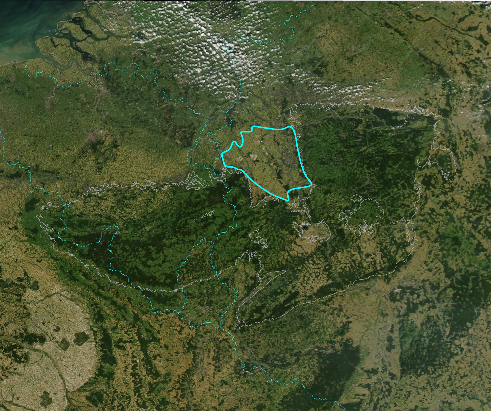
The Lower Rhine Bay (german: Niederrheinische Bucht), sometimes called the Lower Rhine Bight,Luttig, G.W. (ed.), ''General Geology of the Federal Republic of Germany'', Nagel u. Obermiller, 1980, pp. 29 and 44. is a lowland plain in the German state of North Rhine-Westphalia that cuts into the Rhenish Massif. From a natural region perspective it is a major unit group which includes the Cologne Lowland around the city of Cologne as well as the land lying to the west and, in a clearly narrower strip of land, to the east of the central Cologne plain. That said, the term "Cologne Bay" or "Cologne Bight" is occasionally used, ''pars pro toto'', for the entire region. The Lower Rhine Bay covers an area of 3,584.4 km².Meynen, E. and Schmithüsen, J., ''Handbuch der naturräumlichen Gliederung Deutschlands.'' Bundesanstalt für Landeskunde, Remagen/Bad Godesberg, 1953–1962 (9 issues in 8 books, updated map at 1:1,000,000 scale with major units, 1960). Location and boundaries T ... [...More Info...] [...Related Items...] OR: [Wikipedia] [Google] [Baidu] |


