|
Strawberry, Kansas
Strawberry is a ghost town in Washington County, Kansas, United States. It was first settled in the spring of 1861 and was named after the wild strawberries growing in the area. History Strawberry was first settled in the spring of 1861 by John Mildfelt, John Gieber, and Peter Gieber. Other settlers followed, including Peter George Stegman in 1865, and William Bell in 1868. The town's first wedding took place on January 1, 1868, between John Gieber and Susanna Kieffer. By this year, five families lived in the town, home to a post office, a general store, and a school district. The general store was the town center, owned by Art Leiszler. The Leiszler family also ran the post office. Peter Gieber was the first postmaster. The town's first death took place in 1870. Katherine Myers was driving her cattle home when night fell. She became disoriented and got lost. She wandered into Republic County and was shot when a settler mistook her for a wolf. On July 2, 1871, residents from ... [...More Info...] [...Related Items...] OR: [Wikipedia] [Google] [Baidu] |
List Of Ghost Towns In Kansas
This is an incomplete list of ghost towns in the state of Kansas. Causes Many reasons exist as to why a community becomes abandoned (or nearly so). *Transportation: With the development of major highways and interstates, people were willing to travel farther for goods and services causing local businesses in smaller towns to lose customers and ultimately close. The more businesses that close, the more people are apt to want to move away to a bigger town. Transportation has played a major role in settlement in Kansas. As traffic from the Oregon and Santa Fe Trails increased, towns boomed along them. When railroads were established towns developed along the tracks or even moved to where the tracks were. *Politics: In Kansas, the political atmosphere was highly divided. Towns were either proslavery or abolitionist. When Kansas became a free state in 1861, proslavery towns died out. Survival of a town also depended on it winning the county seat. Towns that were contender ... [...More Info...] [...Related Items...] OR: [Wikipedia] [Google] [Baidu] |
Geographic Names Information System
The Geographic Names Information System (GNIS) is a database of name and location information about more than two million physical and cultural features, encompassing the United States and its territories; the Compact of Free Association, associated states of the Marshall Islands, Federated States of Micronesia, and Palau; and Antarctica. It is a type of gazetteer. It was developed by the United States Geological Survey (USGS) in cooperation with the United States Board on Geographic Names (BGN) to promote the standardization of feature names. Data were collected in two phases. Although a third phase was considered, which would have handled name changes where local usages differed from maps, it was never begun. The database is part of a system that includes topographic map names and bibliographic references. The names of books and historic maps that confirm the feature or place name are cited. Variant names, alternatives to official federal names for a feature, are also recor ... [...More Info...] [...Related Items...] OR: [Wikipedia] [Google] [Baidu] |
Republican River
The Republican River is a river in the central Great Plains of North America, rising in the High Plains of eastern Colorado and flowing east U.S. Geological Survey. National Hydrography Dataset high-resolution flowline dataThe National Map accessed March 25, 2011 through the U.S. states of Nebraska and Kansas. Geography The Republican River is formed by the confluence of the North Fork Republican River and the Arikaree River just north of Haigler in Dundy County, Nebraska. It joins with the South Fork Republican River immediately southeast of Benkelman, Nebraska. All three tributaries originate in the High Plains of northeastern Colorado. From the confluence, the river flows generally eastward along the southern border of Nebraska, passing through Swanson Reservoir and Harlan County Reservoir before curving southward into the Smoky Hills region of Kansas. The Republican River joins the Smoky Hill River at Junction City, Kansas to form the Kansas River. Some cities alon ... [...More Info...] [...Related Items...] OR: [Wikipedia] [Google] [Baidu] |
Kansas Historical Society
The Kansas Historical Society is the official state historical society of Kansas. Headquartered in Topeka, it operates as "the trustee of the state" for the purpose of maintaining the state's history and operates the Kansas Museum of History, Kansas State Archives and Library, Kansas State Capitol Tour Center, and 16 state-owned sites. It also serves as the State Historic Preservation Office, and works closely with the Kansas State Department of Education to provide standards-based programs for history and social studies curriculum in the schools.KSHS Overview Accessed 13 October 2013 History The Kansas Editors' and Publishers' Association founded the Kansas Historical Society in 1875 to save present and . In 1879, the[...More Info...] [...Related Items...] OR: [Wikipedia] [Google] [Baidu] |
K-148 (Kansas Highway)
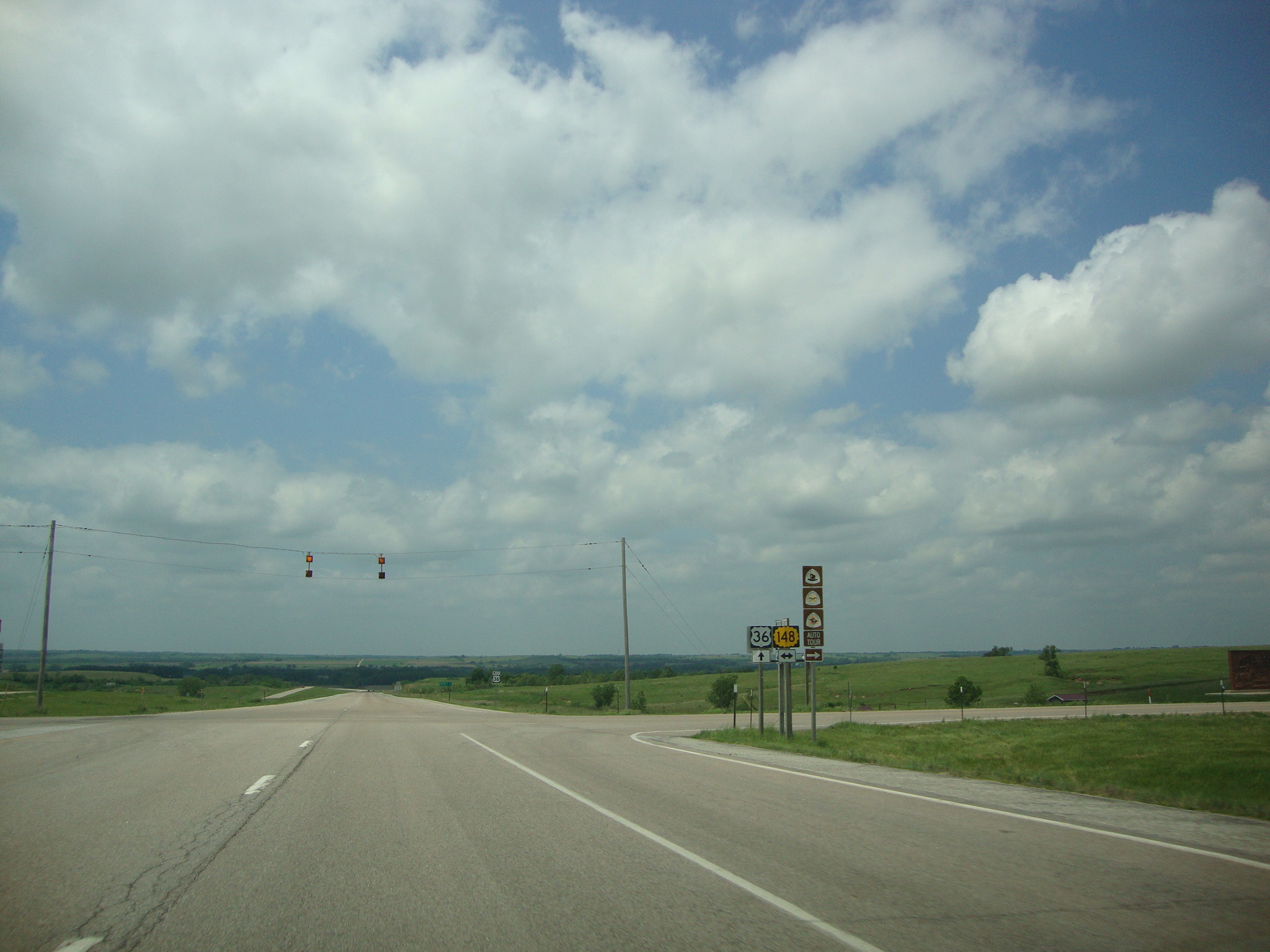
K-148 is an state highway in the U.S. state of Kansas. K-148's western terminus is at K-28 north of Randall and the northern terminus is a continuation as Nebraska Highway 112 at the Nebraska state line. K-148 is signed as east–west its entire length although the last roughly runs north–south. Along the way K-148 intersects several major highways including U.S. Route 81 (US-81) east of Norway and US-36 south of Hanover. The highway travels through mostly rural land and small unincorporated communities, however it does pass through the cities of Agenda and Barnes. Before state highways were numbered in Kansas there were auto trails. The former Meridian Highway crosses K-148 slightly west of Talmo, the former Kansas White Way crosses between K-15 and Barnes, and the former Pikes Peak Ocean to Ocean Highway crosses by Hanover. On March 27, 1956, K-148 was established in Jewell, Republic, Washington counties from K-28 to K-9 and K-15. On May 2, 1988, K-148 was ... [...More Info...] [...Related Items...] OR: [Wikipedia] [Google] [Baidu] |
Great Depression
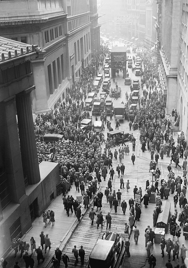
The Great Depression was a severe global economic downturn from 1929 to 1939. The period was characterized by high rates of unemployment and poverty, drastic reductions in industrial production and international trade, and widespread bank and business failures around the world. The economic contagion began in 1929 in the United States, the largest economy in the world, with the devastating Wall Street stock market crash of October 1929 often considered the beginning of the Depression. Among the countries with the most unemployed were the U.S., the United Kingdom, and Weimar Republic, Germany. The Depression was preceded by a period of industrial growth and social development known as the "Roaring Twenties". Much of the profit generated by the boom was invested in speculation, such as on the stock market, contributing to growing Wealth inequality in the United States, wealth inequality. Banks were subject to laissez-faire, minimal regulation, resulting in loose lending and wides ... [...More Info...] [...Related Items...] OR: [Wikipedia] [Google] [Baidu] |
Dance Hall
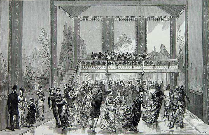
Dance hall in its general meaning is a hall for Dance, dancing, but usually refers to a specific type of twentieth-century venue, with dance clubs (nightclubs) becoming more popular towards the end of the century. The palais de danse was a term applied to purpose-built dance halls in Britain and Commonwealth countries, which became popular after the First World War. Other structural forms of dance halls include the dance pavilion which has a roof but no walls, and the open-air platform which has no roof or walls. The open-air nature of the dance pavilion was both a feature and a drawback. The taxi dance hall was a dance hall with a specific arrangement, wherein the patrons hire hall employees to dance with them. General history From the earliest years of the twentieth century until the early 1960s, the dance hall was the popular forerunner of the discothèque or nightclub. The majority of towns and cities in the Western World, West had at least one dance hall, and almost always fe ... [...More Info...] [...Related Items...] OR: [Wikipedia] [Google] [Baidu] |
Ice Rink
An ice rink (or ice skating rink) is a frozen body of water or an artificial sheet of ice where people can ice skate or play winter sports. Ice rinks are also used for exhibitions, contests and ice shows. The growth and increasing popularity of ice skating during the 1800s marked a rise in the deliberate construction of ice rinks in numerous areas of the world. The word "rink" is a word of Scottish origin meaning "course", used to describe the ice surface used in the sport of curling, but was kept in use once the winter team sport of ice hockey became established. There are two types of ice rinks in prevalent use today: natural ice rinks, where freezing occurs from cold ambient temperatures, and artificial ice rinks (or mechanically frozen), where a coolant produces cold temperatures underneath the water body (on which the game is played), causing the water body to freeze and then stay frozen. There are also synthetic ice rinks where skating surfaces are made out of plast ... [...More Info...] [...Related Items...] OR: [Wikipedia] [Google] [Baidu] |
Clifton Township, Washington County, Kansas
Clifton may refer to: People *Clifton (surname) *Clifton (given name) Places Australia *Clifton, Queensland, a town **Shire of Clifton *Clifton, New South Wales, a suburb of Wollongong * Clifton, Western Australia Canada *Clifton, Nova Scotia, a rural community *Clifton, a former name of New London, Prince Edward Island *Clifton, a former name of Niagara Falls New Zealand *Clifton, Christchurch, a suburb of Christchurch *Clifton, Hawke's Bay, a town * Clifton, Invercargill, a suburb of Invercargill * Clifton, Tasman, a locality in Golden Bay * Clifton, Auckland, the home of Josiah Firth and a Category 1 Heritage New Zealand listed building Pakistan *Clifton, Karachi, a neighborhood *Clifton Beach, Karachi *Clifton Cantonment, Karachi United Kingdom *Clifton, Bedfordshire *Clifton, Bristol, a suburb * Clifton, Cheshire, a location *Clifton, Cumbria, village near Penrith *Great Clifton, Cumbria *Little Clifton, Cumbria *Clifton, Derbyshire * Clifton, Devon, a location *Clifto ... [...More Info...] [...Related Items...] OR: [Wikipedia] [Google] [Baidu] |
Wolf
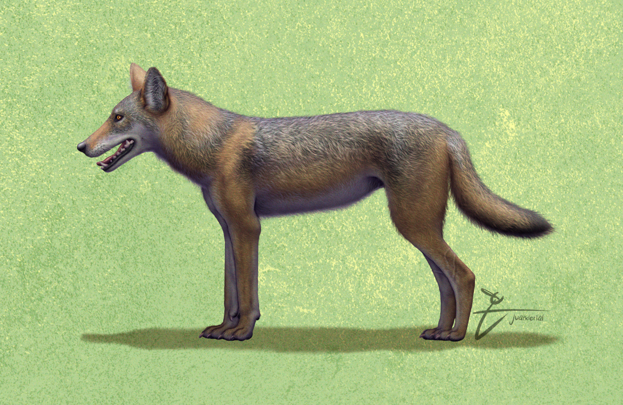
The wolf (''Canis lupus''; : wolves), also known as the grey wolf or gray wolf, is a Canis, canine native to Eurasia and North America. More than thirty subspecies of Canis lupus, subspecies of ''Canis lupus'' have been recognized, including the dog and dingo, though grey wolves, as popularly understood, only comprise Wild type, naturally-occurring wild subspecies. The wolf is the largest wild Neontology, extant member of the family Canidae, and is further distinguished from other ''Canis'' species by its less pointed ears and muzzle, as well as a shorter torso and a longer tail. The wolf is nonetheless related closely enough to smaller ''Canis'' species, such as the coyote and the golden jackal, to produce fertile Canid hybrid, hybrids with them. The wolf's fur is usually mottled white, brown, grey, and black, although subspecies in the arctic region may be nearly all white. Of all members of the genus ''Canis'', the wolf is most Generalist and specialist species, specializ ... [...More Info...] [...Related Items...] OR: [Wikipedia] [Google] [Baidu] |
Republic County, Kansas
Republic County is a county located in the state of Kansas, south from the Nebraska state line. Its county seat and largest city is Belleville. As of the 2020 census, the county population was 4,674. The county was named after the Republican River. History Early history For millennia, the Great Plains of North America were inhabited by nomadic Native Americans. From the 16th to 18th centuries, the Kingdom of France claimed ownership of large parts of North America. In 1762, after the French and Indian War, France ceded New France to Spain, by the Treaty of Fontainebleau. 19th century In 1802, Spain returned most of the land to France, keeping title to about 7,500 square miles. In 1803, the land that included modern day Kansas was acquired by the United States from France as part of the 828,000 square mile Louisiana Purchase. Prior to the arrival of settlers of European ancestry, the area was inhabited by Indian tribes including the Pawnee, Iowa, and Otoe. One sh ... [...More Info...] [...Related Items...] OR: [Wikipedia] [Google] [Baidu] |
Ghost Town
A ghost town, deserted city, extinct town, or abandoned city is an abandoned settlement, usually one that contains substantial visible remaining buildings and infrastructure such as roads. A town often becomes a ghost town because the economic activity that supported it (usually industrial or agricultural) has failed or ended for any reason (e.g. a host ore deposit exhausted by mining). The town may have also declined because of natural or human-caused disasters such as floods, prolonged Drought, droughts, extreme heat or extreme cold, government actions, uncontrolled lawlessness, war, pollution, or nuclear and radiation accidents and incidents, nuclear and radiation-related accidents and incidents. The term can sometimes refer to cities, towns, and neighborhoods that, though still populated, are significantly less so than in past years; for example, those affected by high levels of unemployment and dereliction. Some ghost towns, especially those that preserve period-specific ... [...More Info...] [...Related Items...] OR: [Wikipedia] [Google] [Baidu] |


