|
Sterling County, Texas
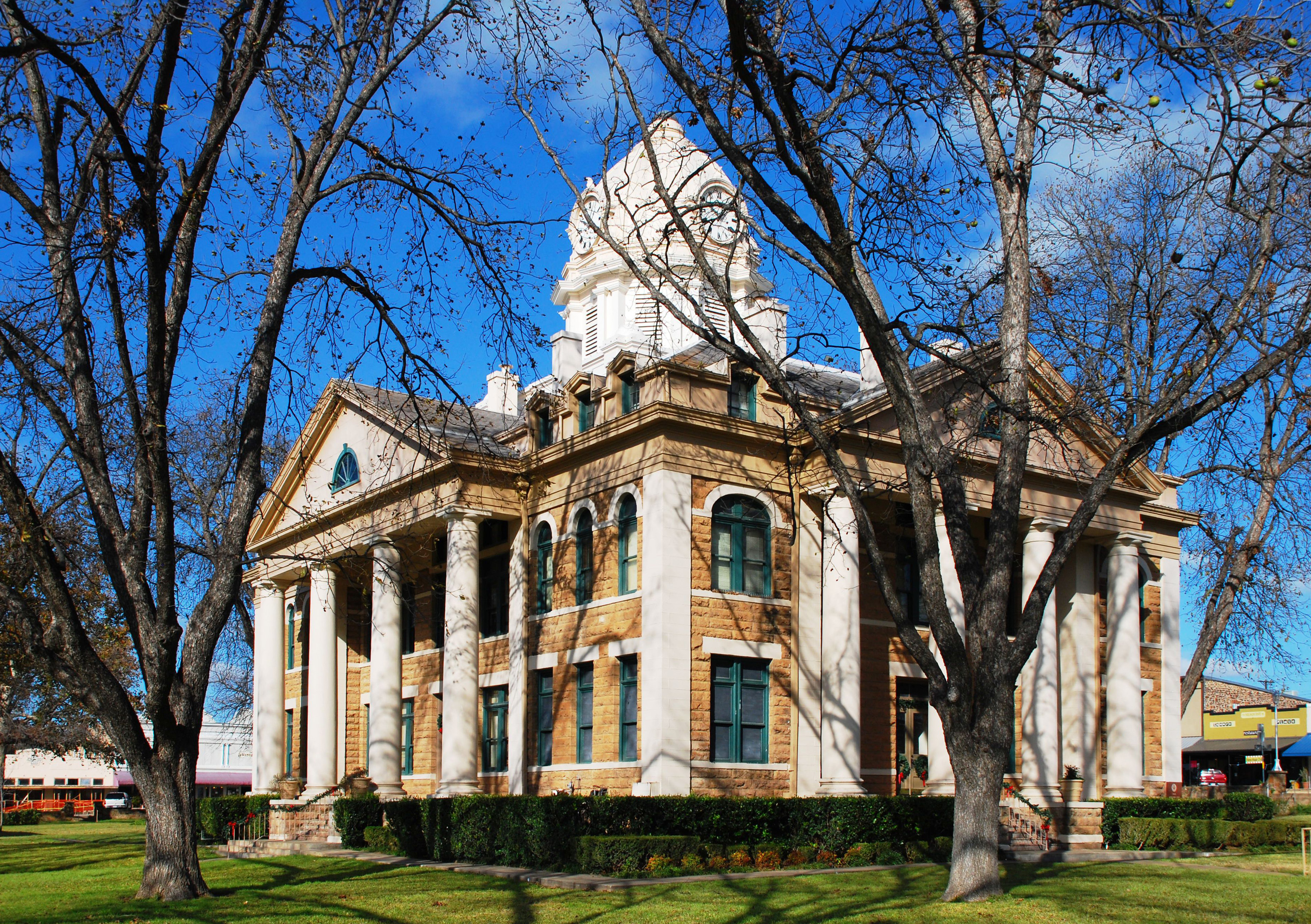
Sterling County is a county located on the Edwards Plateau in the U.S. state of Texas. As of the 2020 census, its population was 1,372, making it the ninth-least populous county in Texas. Its county seat is Sterling City. The county is named for W. S. Sterling, an early settler in the area. Sterling County was one of 30 prohibition, or entirely dry, counties in the state of Texas, but is now a moist county. History Native Americans Original native Plains Indians included Comanche, Lipan Apache, Kiowa, and Kickapoo. The region had a number of violent encounters between the Comanche, local ranchmen, and Texas Rangers. A deadly skirmish occurred in the 1870s between area ranchmen and the Comanche on the Lacy Creek on the present day Campstool Ranch. “The Fight at Live Oak Mott” is an account of the events as written by W.K. Kellis, in the Sterling City ''News-Record'', and later published in ''Frontier Times'' by J. Marvin Hunter. In 1879, the last significant battle be ... [...More Info...] [...Related Items...] OR: [Wikipedia] [Google] [Baidu] |
County (United States)
In the United States, a county or county equivalent is an Administrative division, administrative subdivision of a U.S. state, state or territories of the United States, territory, typically with defined geographic Border, boundaries and some level of governmental authority. The term "county" is used in 48 states, while Louisiana and Alaska have functionally equivalent subdivisions called List of parishes in Louisiana, parishes and List of boroughs and census areas in Alaska, boroughs, respectively. Counties and other local governments in the United States, local governments exist as a matter of U.S. state law, so the specific governmental powers of counties may vary widely between the states, with many providing some level of services to civil townships, Local government in the United States, municipalities, and Unincorporated area#United States, unincorporated areas. Certain municipalities are List of U.S. municipalities in multiple counties, in multiple counties. Some municip ... [...More Info...] [...Related Items...] OR: [Wikipedia] [Google] [Baidu] |
Fisher–Miller Land Grant
The Fisher–Miller Land Grant was part of an early colonization effort of the Republic of Texas. Its 3,878,000 acres covered between the Llano River and Colorado River. Originally granted to Henry Francis Fisher and Burchard Miller, the grant was sold to the German colonization company of Adelsverein. Very few colonizations resulted from the land grant, as most settlers preferred Fredericksburg and New Braunfels, which lay outside the land grant boundaries. A granite monument located near Lookout Mountain in Burnet County summarizes the history and importance of the Fisher-Miller Land Grant and was designated as a Recorded Texas Historic Landmark in 1964, Marker number 9438. Counties within Fisher–Miller Land Grant Ten counties were formed from the Fisher–Miller Land Grant: * Concho * Kimble * Llano * Mason * McCulloch * Menard * Schleicher * San Saba *Sutton *Tom Green Republic of Texas land grants The Republic of Texas issued colonization land grants with individua ... [...More Info...] [...Related Items...] OR: [Wikipedia] [Google] [Baidu] |
Mitchell County, Texas
Mitchell County is a county in the U.S. state of Texas. As of the 2020 census, its population was 8,990. Its county seat is Colorado City. The county was created in 1876 and organized in 1881. It is named for Asa and Eli Mitchell, two early settlers and soldiers in the Texas Revolution. Geography According to the U.S. Census Bureau, the county has a total area of , of which are land and (0.5%) are covered by water. Mitchell County contains two reservoirs, Lake Colorado City and Lake Champion. Major highways * Interstate 20 * State Highway 163 * State Highway 208 * State Highway 350 Adjacent counties * Scurry County (north) * Fisher County (northeast) * Nolan County (east) * Coke County (southeast) * Sterling County (south) * Howard County (west) * Borden County (northwest) Demographics As of the census of 2000, 9,698 people, 2,837 households, and 1,997 families resided in the county. The population density was . The 4,168 housing units averaged fiv ... [...More Info...] [...Related Items...] OR: [Wikipedia] [Google] [Baidu] |
Spade Ranch, Texas
Spade Ranch was the name of two separate West Texas ranches under separate ownership, before being combined by Isaac L. Ellwood. Both ranches are known for their use of barbed wire Roll of modern agricultural barbed wire Barbed wire, also known as barb wire or bob wire (in the Southern and Southwestern United States), is a type of steel fencing wire constructed with sharp edges or points arranged at intervals along the .... History The first ranch, in the Texas panhandle, was started by John F. "Spade" Evans on August 25, 1880, after Evans purchased 23 pieces of land in Donley County. The second ranch, headquartered in Mitchell County, was started as the Renderbrook Ranch by J. Taylor Barr. In 1882, John and Dudley Snyder bought the ranch and by 1887, enlarged the ranch to 300,000 acres. During the January 1886 blizzard, the Snyder brothers sold the land to Isaac L. Ellwood. He combined the first Spade ranch with Renderbrook, and after buying 128,000 more acres f ... [...More Info...] [...Related Items...] OR: [Wikipedia] [Google] [Baidu] |
Glasscock County, Texas
Glasscock County is a county located in the U.S. state of Texas. As of the 2020 census, its population was 1,169. Its county seat is Garden City. The county was created in 1827 and later organized in 1869. It is named for George Washington Glasscock, an early settler of the Austin, Texas area and the namesake of Georgetown, Texas. Glasscock County is included in the Big Spring, TX Micropolitan Statistical Area. Geography According to the U.S. Census Bureau, the county has a total area of , of which is land and (0.1%) is water. The Spraberry Trend, in 2009 the third-largest oil field in the United States by remaining reserves, underlies much of the county. Major highways * U.S. Highway 87 * State Highway 137 * State Highway 158 * Ranch to Market Road 33 Adjacent counties * Howard County (north) * Sterling County (east) * Reagan County (south) * Upton County (southwest) * Midland County (west) * Martin County (northwest) Demographics At the 2000 ce ... [...More Info...] [...Related Items...] OR: [Wikipedia] [Google] [Baidu] |
Tom Green County, Texas
Tom Green County is a county located on the Edwards Plateau in the U.S. state of Texas. As of the 2020 census, its population was 120,003. Its county seat is San Angelo. The county was created in 1874 and organized the following year. It is named for Thomas Green, who was a Confederate soldier and lawyer. Tom Green County is included in the San Angelo metropolitan statistical area; the county is home to Goodfellow Air Force Base, as well as Angelo State University, part of the Texas Tech University System. History The county was established by the state legislature on March 13, 1874, and named after Thomas Green, a Confederate brigadier general. It originally comprised an area over . The original county seat was the town of Ben Ficklin. In 1882, flood waters of the Concho River destroyed the town and drowned 65 people. The county seat was moved to Santa Angela. In 1883, the town's name was officially changed to San Angelo by the United States Post Office. Following c ... [...More Info...] [...Related Items...] OR: [Wikipedia] [Google] [Baidu] |
San Angelo, Texas
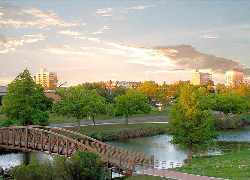
San Angelo ( ) is a city in and the county seat of Tom Green County, Texas, United States. Its location is in the Concho Valley, a region of West Texas between the Permian Basin (North America), Permian Basin to the northwest, Chihuahuan Desert to the southwest, Osage Plains to the northeast, and Central Texas to the southeast. According to the 2020 United States Census, San Angelo had a total population of 99,893. It is the principal city and center of the San Angelo metropolitan area, which had a population of 121,516. San Angelo is home to Angelo State University, historic Fort Concho, and Goodfellow Air Force Base. It is the seat of the Roman Catholic Diocese of San Angelo. History In 1632, a short-lived mission of Franciscans under Spanish auspices was founded in the area to serve native people. The mission was led by the friars Juan de Salas (friar), Juan de Salas and Juan de Ortega, with Ortega remaining for six months. The area was visited by the Castillo-Martin expedit ... [...More Info...] [...Related Items...] OR: [Wikipedia] [Google] [Baidu] |
Fort Concho
Fort Concho is a former United States Army installation and National Historic Landmark District located in San Angelo, Texas. It was established in November 1867 at the confluence of the North and South Concho Rivers, on the routes of the Butterfield Overland Mail Route and Goodnight–Loving Trail, and was an active military base for the next 22 years. Fort Concho was the principal base of the 4th Cavalry from 1867 to 1875 and then the " Buffalo Soldiers" of the 10th Cavalry from 1875 to 1882. The troops stationed at Fort Concho participated in Ranald S. Mackenzie's 1872 campaign, the Red River War in 1874, and the Victorio Campaign of 1879–1880. The fort was abandoned in June 1889, and over the next 20 years was divided into residences and businesses, with the buildings repurposed or recycled for their materials. Efforts to preserve and restore Fort Concho began in the 1900s and resulted in the foundation of the Fort Concho Museum in 1929. The property has been owned an ... [...More Info...] [...Related Items...] OR: [Wikipedia] [Google] [Baidu] |
Battle Of Fort Apache
The Battle of Fort Apache was an engagement of the Apache Wars between the cavalry garrison of Fort Apache and dozens of mounted White Mountain Apache warriors. The battle occurred in eastern Arizona Territory on September 1, 1881. Battle The native attack on Fort Apache, which was commanded by Colonel Eugene Asa Carr, was a counter-attack in reprisal for the Battle of Cibecue Creek, in which medicine man Nochaydelklinne was killed. Some Arizona historians would consider the attack on Fort Apache to be a continuation of the Cibecue Creek engagement, but the two battles occurred about 40 miles from each other on opposite sides of the Fort Apache Reservation and occurred two days apart. The Apache army repeatedly attacked the fort from a long range with their rifles near Whiteriver, Arizona, firing volleys and scoring some hits. The U.S. cavalry and native allies fought back, but the Apache remained at the end of their rifle range during the entire fight. The battle lasted u ... [...More Info...] [...Related Items...] OR: [Wikipedia] [Google] [Baidu] |
Apache
The Apache ( ) are several Southern Athabaskan language-speaking peoples of the Southwestern United States, Southwest, the Southern Plains and Northern Mexico. They are linguistically related to the Navajo. They migrated from the Athabascan homelands in the north into the Southwest between 1000 and 1500 CE. Apache bands include the Chiricahua, Jicarilla Apache, Jicarilla, Lipan Apache people, Lipan, Mescalero, Mimbreño Apache, Mimbreño, Salinero Apaches, Salinero, Plains Apache, Plains, and Western Apache (San Carlos Apache Indian Reservation, Aravaipa, Pinaleño Mountains, Pinaleño, Fort Apache Indian Reservation, Coyotero, and Tonto Apache, Tonto). Today, Apache tribes and Indian reservation, reservations are headquartered in Arizona, New Mexico, Texas, and Oklahoma, while in Mexico the Apache are settled in Sonora, Chihuahua, Coahuila and areas of Tamaulipas. Each Native American tribe, tribe is politically autonomous. Historically, the Apache homelands have consisted of ... [...More Info...] [...Related Items...] OR: [Wikipedia] [Google] [Baidu] |
Arizona
Arizona is a U.S. state, state in the Southwestern United States, Southwestern region of the United States, sharing the Four Corners region of the western United States with Colorado, New Mexico, and Utah. It also borders Nevada to the northwest and California to the west, and shares Mexico-United States border, an international border with the Mexican states of Sonora and Baja California to the south and southwest. Its Capital city, capital and List of largest cities, largest city is Phoenix, Arizona, Phoenix, which is the most populous state capital and list of United States cities by population, fifth most populous city in the United States. Arizona is divided into 15 List of counties in Arizona, counties. Arizona is the list of U.S. states and territories by area, 6th-largest state by area and the list of U.S. states and territories by population, 14th-most-populous of the 50 states. It is the 48th state and last of the contiguous United States, contiguous states to be a ... [...More Info...] [...Related Items...] OR: [Wikipedia] [Google] [Baidu] |
United States Marshals Service
The United States Marshals Service (USMS) is a Federal law enforcement in the United States, federal law enforcement agency in the United States. The Marshals Service serves as the enforcement and security arm of the United States federal judiciary, U.S. federal judiciary. It is an Government agency, agency of the United States Department of Justice, U.S. Department of Justice and operates under the direction of the United States Attorney General, U.S. attorney general. U.S. Marshals are the original U.S. federal law enforcement officers, created by the Judiciary Act of 1789 during the presidency of George Washington as the "Office of the United States Marshal" under the United States district court, U.S. district courts. The USMS was established in 1969 to provide guidance and assistance to U.S. Marshals throughout the United States federal judicial district, federal judicial districts. The Marshals Service is primarily responsible for locating and arrest warrant, arresting Fe ... [...More Info...] [...Related Items...] OR: [Wikipedia] [Google] [Baidu] |


