|
St. Francis, Minnesota
St. Francis is a city in Anoka and Isanti counties, Minnesota, United States. The population was 8,142 at the 2020 census. Minnesota State Highway 47 serves as a main route in the city. Other routes include Ambassador Boulevard. History St. Francis was named after Francis of Assisi. In 1855 Dwight Woodbury built a dam, grist and saw mill, and the first house, which later became the Riverside Hotel. George Armsby and E. Fowler are considered to be the first settlers in the area. St. Francis Township was settled in 1855 and organized in 1857. The name St. Francis comes from Louis Hennepin, who named the Rum River after St. Francis in 1680. The first doctor to practice in St. Francis arrived in 1857 and was known as Dr. Marshall. In the same year, school was started at the home of M. Fowler, and Hattie Waterhouse became the first teacher. In 1869, Burns Township ( Nowthen) broke off from St. Francis Township. In 1879, a general store was started by Pelutiar McClure ... [...More Info...] [...Related Items...] OR: [Wikipedia] [Google] [Baidu] |
City
A city is a human settlement of notable size.Goodall, B. (1987) ''The Penguin Dictionary of Human Geography''. London: Penguin.Kuper, A. and Kuper, J., eds (1996) ''The Social Science Encyclopedia''. 2nd edition. London: Routledge. It can be defined as a permanent and densely settled place with administratively defined boundaries whose members work primarily on non-agricultural tasks. Cities generally have extensive systems for housing, transportation, sanitation, utilities, land use, production of goods, and communication. Their density facilitates interaction between people, government organisations and businesses, sometimes benefiting different parties in the process, such as improving efficiency of goods and service distribution. Historically, city-dwellers have been a small proportion of humanity overall, but following two centuries of unprecedented and rapid urbanization, more than half of the world population now lives in cities, which has had profound consequ ... [...More Info...] [...Related Items...] OR: [Wikipedia] [Google] [Baidu] |
Louis Hennepin
Father Louis Hennepin, O.F.M. baptized Antoine, (; 12 May 1626 – 5 December 1704) was a Belgian Roman Catholic priest and missionary of the Franciscan Recollet order (French: ''Récollets'') and an explorer of the interior of North America. Biography Antoine Hennepin was born in Ath in the Spanish Netherlands (present-day Hainaut, Belgium). In 1629, while he was living in the town of Béthune, it was captured by the army of Louis XIV of France. Henri Joulet, who accompanied Hennepin and wrote his own journal of their travels, called Hennepin a Fleming (a native of Flanders), although Ath was and still is a Romance-speaking area found in present-day Wallonia. Hennepin joined the Franciscans, and preached in Halles (Belgium) and in Artois. He was then put in charge of a hospital in Maestricht. He was also briefly an army chaplain. At the request of Louis XIV, the Récollets sent four missionaries to New France in May 1675, including Hennepin, accompanied by René Rob ... [...More Info...] [...Related Items...] OR: [Wikipedia] [Google] [Baidu] |
Isanti, Minnesota
Isanti (pronounced ''eye-SAN-tee'') is a city in Isanti County, Minnesota, United States. The population was 6,804 at the 2020 census. The name ''Isanti'' is composed of two Dakota words: ''isan'' ("knife") and ''ati'' ("camp"), and refers to the Santee Dakota people. Minnesota State Highway 65 and Isanti County Road 5 are the main routes in Isanti. Geography According to the United States Census Bureau, the city has an area of , of which is land and is water. The Rum River flows through Isanti's western edge. Demographics 2010 census As of the census of 2010, there were 5,251 people, 1,871 households, and 1,336 families living in the city. The population density was . There were 2,038 housing units at an average density of . The racial makeup of the city was 94.7% White, 1.1% African American, 0.5% Native American, 0.7% Asian, 0.7% from other races, and 2.2% from two or more races. Hispanic or Latino of any race were 2.8% of the population. There were 1,871 households, o ... [...More Info...] [...Related Items...] OR: [Wikipedia] [Google] [Baidu] |
Crown, Minnesota
Crown is an unincorporated community in Stanford Township, Isanti County, Minnesota, United States. The community is located north of St. Francis. Isanti County Roads 7 and 8 are two of the main routes in the community. State Highway 47 ( MN 47) and U.S. Highway 169 are nearby. History Crown was founded in the late 19th century by primarily German immigrants and was a farming community. Among the first residents in the area were families with the surnames of Grams, Whittlef (also spelled Wittlief and Wittlef), Stockel, Lemke, Hartfiel, and Hass. Crown had a creamery, three stores with bars, a blacksmith shop, a garage repair shop, and a German Lutheran Church and a Lutheran School. The Lemke family owned the remaining community store from 1905 to 2005, when it was sold and renamed "Crown Gas and Goodies". In 2008, a fire destroyed the County Line Bar and Grill, formerly Hierlinger’s general store, and the Farmers Cooperative Mercantile Company of West Stanford it reopene ... [...More Info...] [...Related Items...] OR: [Wikipedia] [Google] [Baidu] |
Zimmerman, Minnesota
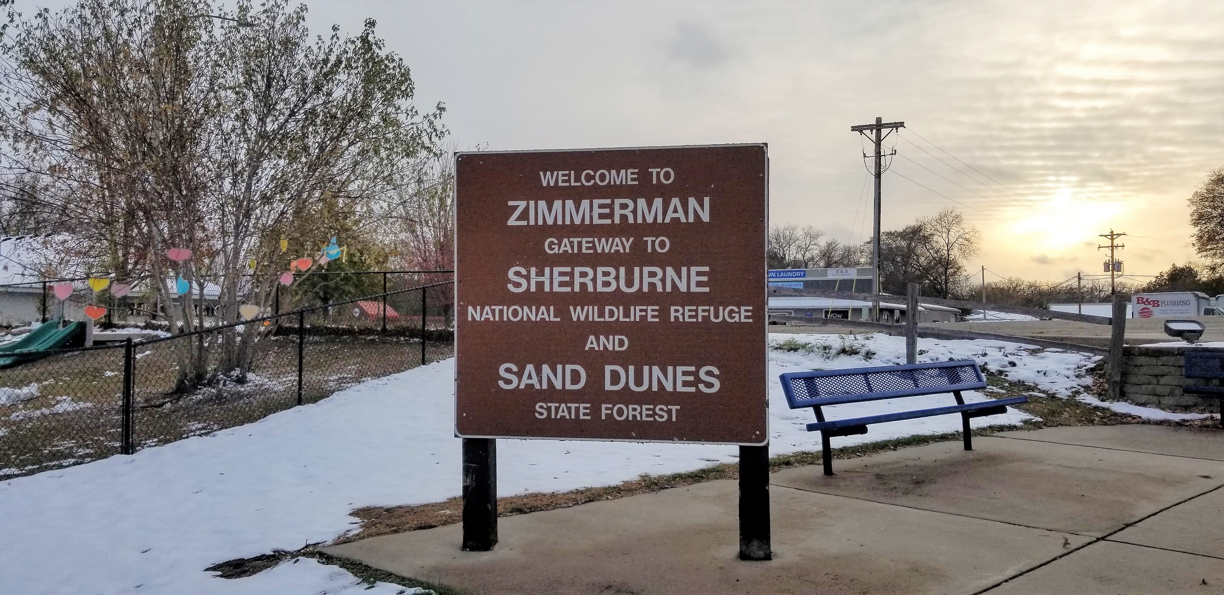
Zimmerman is a city in Sherburne County, Minnesota, United States. The population was 5,228 at the 2010 census. Zimmerman is a predominantly rural community. U.S. Highway 169 serves as a main route in the area. The community is 42 miles north-northwest of Minneapolis and 33 miles east-southeast of St. Cloud. History The Village of Lake Fremont was incorporated in 1910. In 1967, the town was renamed the City of Zimmerman. Lake Fremont was named for the western explorer, John C. Frémont, and the name Zimmerman derives from Moses Zimmerman, a local farmer who was influential in promoting the idea of the Great Northern Railway coming through the area. Events Every year on Memorial Day weekend Zimmerman holds a community event called the "Wild West Days". This includes a carnival in Lion's Park, a softball tournament, a 5k charity run, a fireworks show, a parade, and many other activities. The parade usually includes the Elk River School District's marching band cadets, the fir ... [...More Info...] [...Related Items...] OR: [Wikipedia] [Google] [Baidu] |
Elk River, Minnesota
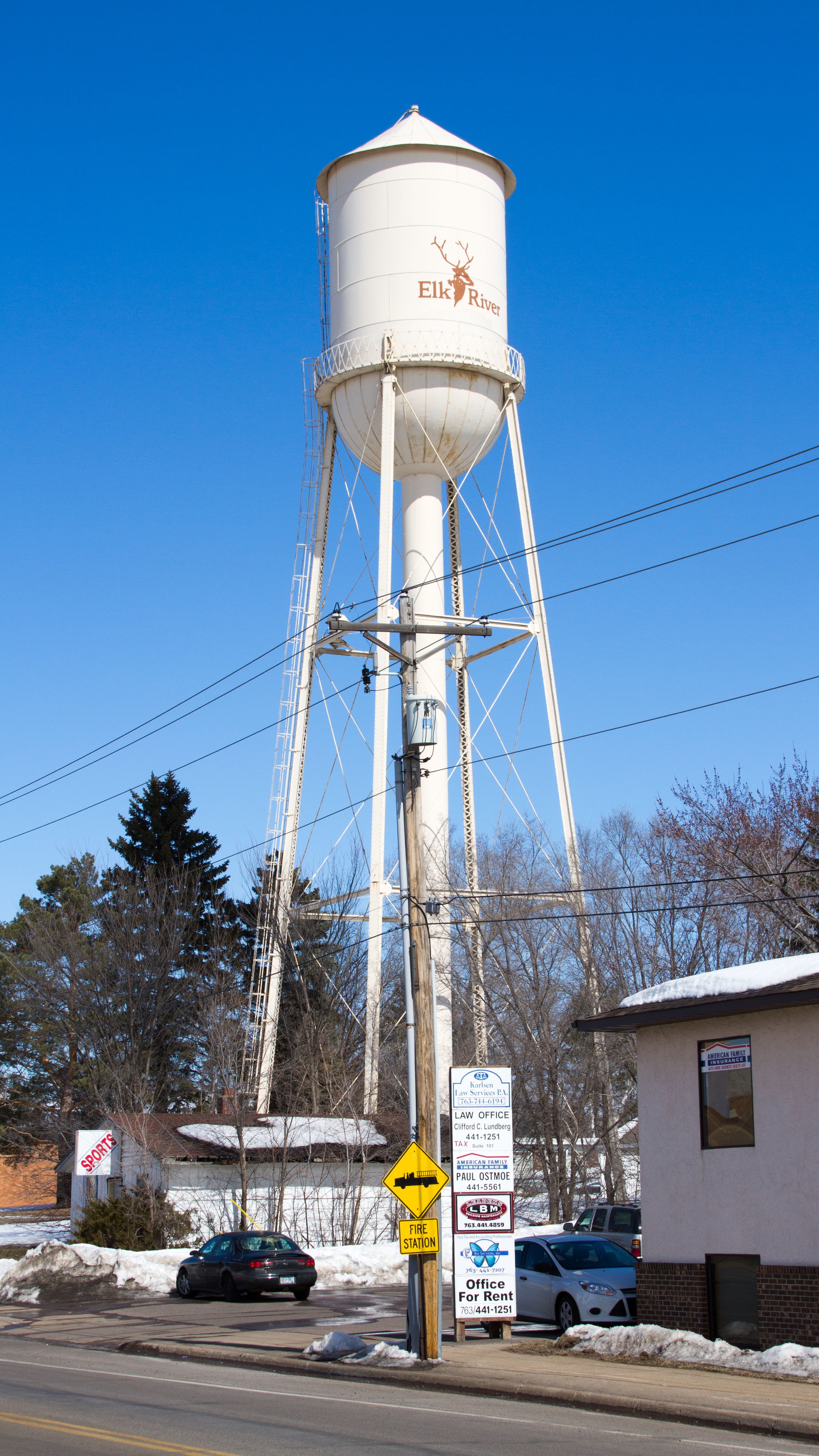
Elk River is a city in Sherburne County, Minnesota, United States, approximately 34 miles northwest of Minneapolis. It is situated at the confluence of the Mississippi and Elk Rivers. The population was 25,835 at the 2020 census, making Elk River the second largest city in the Central Minnesota region after St. Cloud. It is the county seat. U.S. Highways 10 and 169 and State Highway 101 are three of the main routes in Elk River, and a station on the Northstar Commuter Rail line to downtown Minneapolis is located in the city. Elk River is located 33.2 miles northwest of Minneapolis and 37.4 miles southeast of St. Cloud. History The hardwood-forested hills in which Elk River is situated was pushed up by the last glacier that advanced across Minnesota. These hills are made up of coarse materials which is the reason gravel mining is so prevalent in Elk River, and also the reason much of the area is not considered good farmland for culture and agriculture use. To the south ... [...More Info...] [...Related Items...] OR: [Wikipedia] [Google] [Baidu] |
Oak Grove, Minnesota
Oak Grove is a city in Anoka County, Minnesota, United States. It is north of Minneapolis. The population was 8,031 at the 2010 census. Geography According to the United States Census Bureau, the city has a total area of , of which is land and is water. County Roads 7, 9, 13, 22, and 78 are the main routes in the community. State Highway 47 ( MN 47) passes briefly through the northwest corner of Oak Grove. Lake George is located within the city of Oak Grove. Adjacent cities * St. Francis (north) * East Bethel (east) * Ham Lake (southeast) * Andover (south) * Ramsey (southwest) * Nowthen (west) History Oak Grove first became an organized township in 1857, and was so named because of the large groves of oak trees in the area. The village of Oak Grove was founded in 1854, and a post office operated from 1857 to 1901. The township incorporated as the city of Oak Grove in 1993. Demographics 2010 census As of the census of 2010, there were 8,031 people, 2,744 households, ... [...More Info...] [...Related Items...] OR: [Wikipedia] [Google] [Baidu] |
East Bethel, Minnesota
East Bethel is a city in Anoka County, Minnesota, United States. The population was 11,786 at the 2020 census. Minnesota State Highway 65 and Anoka County Road 22 are the main routes in the city. Highway 65 runs north–south, and County Road 22 (Viking Boulevard) runs east–west. Geography According to the United States Census Bureau, the city has an area of , of which is land and is water. East Bethel is in the northern part of Anoka County. The city contains the primary site of the Cedar Creek Ecosystem Science Reserve Central Minneapolis is 26 miles (42 km) to the southeast, along the Mississippi River, with the nearest international airport at Minneapolis–Saint Paul, 34 miles (52 km) southeast. Adjacent cities * Columbus (southeast) * Ham Lake (south) * Andover (southwest) * Oak Grove (west) * St. Francis (northwest) * Bethel (northwest) The neighborhood of Coopers Corner is in northern East Bethel, and the neighborhood of Coon Lake Beach is in so ... [...More Info...] [...Related Items...] OR: [Wikipedia] [Google] [Baidu] |
Bethel, Minnesota
Bethel is a city in Anoka County, Minnesota, United States. The population was 466 at the 2010 census. Geography According to the United States Census Bureau, the city has a total area of , of which is land and is water. 237th Avenue / County Road 24 serves as a main route in the community. Minnesota State Highway 65 is nearby. Bethel is located in the north–central part of Anoka County. The boundary line between Anoka and Isanti counties is nearby. Adjacent cities *East Bethel (east) * St. Francis (west, south, north) History Bethel was incorporated as a village in 1902, and was officially incorporated as the city of Bethel on January 1, 1974. Demographics 2010 census As of the census of 2010, there were 466 people, 174 households, and 118 families residing in the city. The population density was . There were 192 housing units at an average density of . The racial makeup of the city was 95.3% White, 0.9% African American, 0.4% Asian, 0.2% Pacific Islander, 0.9% f ... [...More Info...] [...Related Items...] OR: [Wikipedia] [Google] [Baidu] |
United States Census Bureau
The United States Census Bureau (USCB), officially the Bureau of the Census, is a principal agency of the U.S. Federal Statistical System, responsible for producing data about the American people and economy An economy is an area of the production, distribution and trade, as well as consumption of goods and services. In general, it is defined as a social domain that emphasize the practices, discourses, and material expressions associated with t .... The Census Bureau is part of the United States Department of Commerce, U.S. Department of Commerce and its Director of the United States Census Bureau, director is appointed by the President of the United States. The Census Bureau's primary mission is conducting the United States census, U.S. census every ten years, which allocates the seats of the U.S. House of Representatives to the U.S. state, states based on their population. The bureau's various censuses and surveys help allocate over $675 billion in federal funds e ... [...More Info...] [...Related Items...] OR: [Wikipedia] [Google] [Baidu] |


