|
Solifluction
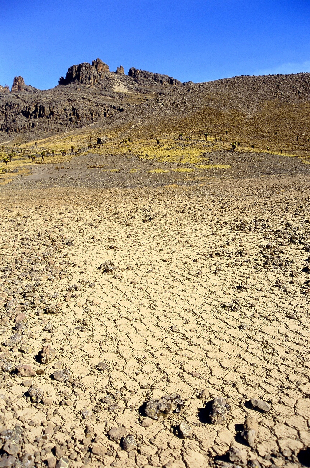
Solifluction is a collective name for gradual processes in which a mass moves down a slope ("mass wasting") related to freeze-thaw activity. This is the standard modern meaning of solifluction, which differs from the original meaning given to it by Johan Gunnar Andersson Johan Gunnar Andersson (3 July 1874 – 29 October 1960)"Andersson, Johan Gunnar" in '' The New Encyclopædia Britannica''. Chicago: Encyclopædia Britannica Inc., 15th edn., 1992, Vol. 1, p. 385. was a Swedish archaeologist, geomorphologist, ... in 1906. Origin and evolution of the concept In the original sense it meant the movement of waste saturated in water found in periglaciation, periglacial regions. However it was later discovered that various slow waste movements in periglacial regions did not require saturation in water, but were rather associated to freeze-thaw processes. The term solifluction was appropriated to refer to these slow processes, and therefore excludes rapid periglacial movements. ... [...More Info...] [...Related Items...] OR: [Wikipedia] [Google] [Baidu] |
Periglaciation
Periglaciation (adjective: "periglacial", referring to places at the edges of glacial areas) describes geomorphic processes that result from seasonal thawing and freezing, very often in areas of permafrost. The meltwater may refreeze in ice wedges and other structures. "Periglacial" originally suggested an environment located on the margin of past glaciers. However, freeze and thaw cycles influence landscapes also outside areas of past glaciation. Therefore, periglacial environments are anywhere when freezing and thawing modify the landscape in a significant manner. History Periglaciation became a distinct subject within the study of geology after Walery Łoziński, a Polish geologist, introduced the term in 1909. Łoziński drew upon the early work of Johan Gunnar Andersson. According to Alfred Jahn, his introduction of his work at the 1910 International Geological Congress held in Stockholm caused significant discussion. In the field trip to Svalbard that followed the congres ... [...More Info...] [...Related Items...] OR: [Wikipedia] [Google] [Baidu] |
Stone Run
A stone run (called also ''stone river'', ''stone stream'' or ''stone sea''Vitosha Nature Park: Basic Information. Landscape. Vitosha Nature Park website.) is a rock landform resulting from the erosion of particular rock varieties caused by freezing-thawing cycles in periglacial conditions during the last glacial period, last Ice Age. The actual formation of stone runs involved five processes: weathering, solifluction, frost heaving, frost sorting, and washing.Stone, Phillip. Periglacial Princes Street - 52° South. ''The Edinburgh Geologist''. Issue No 35, 2000. The stone runs are essentially different from ... [...More Info...] [...Related Items...] OR: [Wikipedia] [Google] [Baidu] |
Periglaciation
Periglaciation (adjective: "periglacial", referring to places at the edges of glacial areas) describes geomorphic processes that result from seasonal thawing and freezing, very often in areas of permafrost. The meltwater may refreeze in ice wedges and other structures. "Periglacial" originally suggested an environment located on the margin of past glaciers. However, freeze and thaw cycles influence landscapes also outside areas of past glaciation. Therefore, periglacial environments are anywhere when freezing and thawing modify the landscape in a significant manner. History Periglaciation became a distinct subject within the study of geology after Walery Łoziński, a Polish geologist, introduced the term in 1909. Łoziński drew upon the early work of Johan Gunnar Andersson. According to Alfred Jahn, his introduction of his work at the 1910 International Geological Congress held in Stockholm caused significant discussion. In the field trip to Svalbard that followed the congres ... [...More Info...] [...Related Items...] OR: [Wikipedia] [Google] [Baidu] |
Mass Wasting
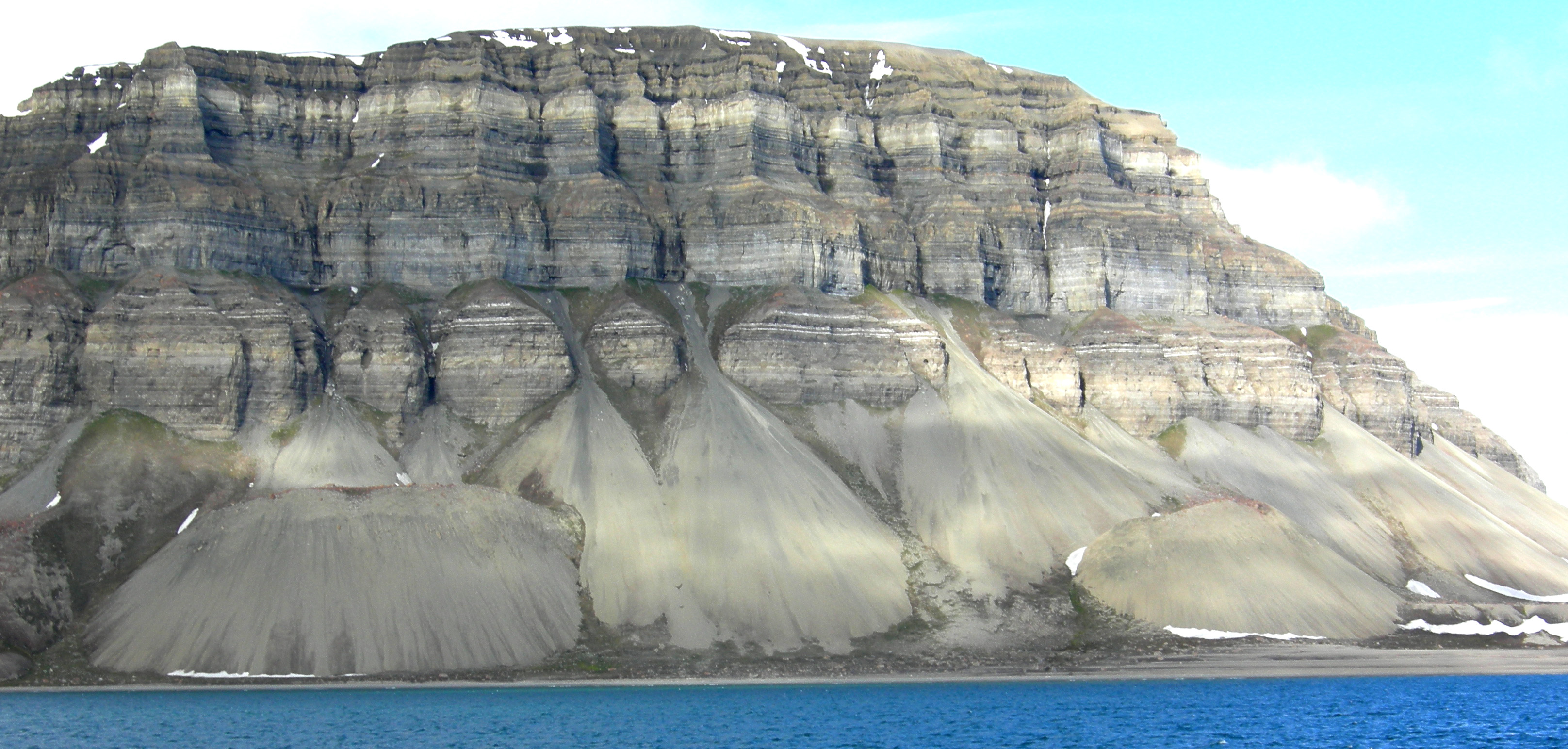
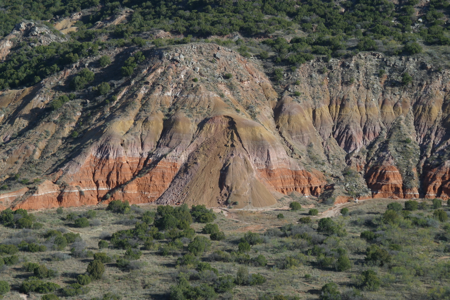
Mass wasting, also known as mass movement, is a general term for the movement of rock (geology), rock or soil down slopes under the force of gravity. It differs from other processes of erosion in that the debris transported by mass wasting is not Entrainment (physical geography), entrained in a moving medium, such as water, wind, or ice. Types of mass wasting include Downhill creep, creep, solifluction, rockfalls, debris flows, and landslides, each with its own characteristic features, and taking place over timescales from seconds to hundreds of years. Mass wasting occurs on both terrestrial and submarine slopes, and has been observed on Earth, Mars, Venus, Jupiter's moon Io (moon), Io, and on many other bodies in the Solar System. Subsidence is sometimes regarded as a form of mass wasting. A distinction is then made between mass wasting by subsidence, which involves little horizontal movement, and mass wasting by slope movement. Rapid mass wasting events, such as landslides, ca ... [...More Info...] [...Related Items...] OR: [Wikipedia] [Google] [Baidu] |
Johan Gunnar Andersson
Johan Gunnar Andersson (3 July 1874 – 29 October 1960)"Andersson, Johan Gunnar" in '' The New Encyclopædia Britannica''. Chicago: Encyclopædia Britannica Inc., 15th edn., 1992, Vol. 1, p. 385. was a Swedish archaeologist, geomorphologist, and paleontologist who was closely associated with the beginnings of Chinese archaeology in the 1920s. Early life and polar research After studies at Uppsala University, and research in the polar regions, Andersson served as Director of Sweden's National Geological Survey. He participated in the Swedish Antarctic Expedition of 1901 to 1903 (on the ship ''Antarctic''). His work on the Falkland Islands and the Bjørnøya, where he first coined the term solifluction, influenced Walery Łoziński's creation of the concept of periglaciation in 1909. Chinese archaeology In 1914, Andersson was invited to China as a mining adviser to the Chinese government. His affiliation was with China's National Geological Survey (Dizhi diaochasuo) w ... [...More Info...] [...Related Items...] OR: [Wikipedia] [Google] [Baidu] |
Mass Wasting
Mass wasting, also known as mass movement, is a general term for the movement of rock (geology), rock or soil down slopes under the force of gravity. It differs from other processes of erosion in that the debris transported by mass wasting is not Entrainment (physical geography), entrained in a moving medium, such as water, wind, or ice. Types of mass wasting include Downhill creep, creep, solifluction, rockfalls, debris flows, and landslides, each with its own characteristic features, and taking place over timescales from seconds to hundreds of years. Mass wasting occurs on both terrestrial and submarine slopes, and has been observed on Earth, Mars, Venus, Jupiter's moon Io (moon), Io, and on many other bodies in the Solar System. Subsidence is sometimes regarded as a form of mass wasting. A distinction is then made between mass wasting by subsidence, which involves little horizontal movement, and mass wasting by slope movement. Rapid mass wasting events, such as landslides, ca ... [...More Info...] [...Related Items...] OR: [Wikipedia] [Google] [Baidu] |
Gelifluction
Gelifluction, very similar to solifluction, is the seasonal freeze-thaw action upon waterlogging topsoil Topsoil is the upper layer of soil. It has the highest concentration of organic matter and microorganisms and is where most of the Earth's biological soil activity occurs. Description Topsoil is composed of mineral particles and organic mat ...s which induces downslope movement. Gelifluction is prominent in periglacial regions where snow falls during six to eight months of the year. In spring, the snow and ice melt, and the landscape is effectively inundated with half a year's worth of rainfall in the space of a couple of days. The top soil becomes waterlogged, and flows like a liquid. Because the wet soil behaves like a fluid, gelifluction is a form of mass movement that can occur on slopes with a slope angle of less than half a degree. Landforms The most distinctive landforms created by gelifluction include gelifluction lobes and gelifluction benches. The former re ... [...More Info...] [...Related Items...] OR: [Wikipedia] [Google] [Baidu] |
Diamicton
Diamicton (also diamict) (from Greek ''δια'' (dia-): through and ''μεικτός'' (meiktós): mixed) is a terrigenous sediment (a sediment resulting from dry-land erosion) that is unsorted to poorly sorted and contains particles ranging in size from clay to boulders, suspended in an unconsolidated matrix of mud or sand. Today, the word has strong connotations to glaciation but can be used in a variety of geological settings.Jackson, J.A., J. Mehl, and K. Neuendorf (2005) ''Glossary of Geology'' American Geological Institute, Alexandria, Virginia. 800 pp. Bennett, M.R., and N.F. Glasser (2009) ''Glacial Geology: Ice Sheets and Landforms'', 2nd Ed. John Wiley & Sons, Ltd., New York, New York. 400 pp. Tucker, M.E. (2003) ''Sedimentary Rocks in the Field'' John Wiley & Sons, Ltd., New York, New York. 244 pp. The term was proposed by Flint and othersFlint, R.F., J.E. Sanders, and J. Rodgers (1960) ''Diamictite, a substitute term for symmictite'' Geological Society of America Bulle ... [...More Info...] [...Related Items...] OR: [Wikipedia] [Google] [Baidu] |
Geographical Journal
''The Geographical Journal'' is a quarterly peer-reviewed academic journal of the Royal Geographical Society (with the Institute of British Geographers). It publishes papers covering research on all aspects of geography. It also publishes shorter Commentary papers and Review Essays. Since 2001, ''The Geographical Journal'' has been published in collaboration with Wiley-Blackwell. The journal dates back to two related publications established in the 19th century, ''Journal of the Royal Geographical Society of London'' (published from 1831 to 1880), and ''Proceedings of the Royal Geographical Society of London '', published from 1857 to 1877. Then ''Proceedings of the Royal Geographical Society and Monthly Record of Geography'', published from 1879 to 1892, continued and absorbed the previous journals. In 1893, the journal renamed itself ''The Geographical Journal''. Prior to 2000, ''The Geographical Journal'' published society news alongside articles and it continues to publish the p ... [...More Info...] [...Related Items...] OR: [Wikipedia] [Google] [Baidu] |
Frost Weathering
Frost weathering is a collective term for several mechanical weathering processes induced by stresses created by the freezing of water into ice. The term serves as an umbrella term for a variety of processes, such as frost shattering, frost wedging, and cryofracturing. The process may act on a wide range of spatial and temporal scales, from minutes to years and from dislodging mineral grains to fracturing boulders. It is most pronounced in high-altitude and high-latitude areas and is especially associated with alpine, periglacial, subpolar maritime, and polar climates, but may occur anywhere at sub- freezing temperatures (between ) if water is present. Ice segregation Certain frost-susceptible soils expand or heave upon freezing as a result of water migrating via capillary action to grow ice lenses near the freezing front. This same phenomenon occurs within pore spaces of rocks. The ice accumulations grow larger as they attract liquid water from the surrounding pores. ... [...More Info...] [...Related Items...] OR: [Wikipedia] [Google] [Baidu] |
Svalbard
Svalbard ( , ), previously known as Spitsbergen or Spitzbergen, is a Norway, Norwegian archipelago that lies at the convergence of the Arctic Ocean with the Atlantic Ocean. North of continental Europe, mainland Europe, it lies about midway between the northern coast of Norway and the North Pole. The islands of the group range from 74th parallel north, 74° to 81st parallel north, 81° north latitude, and from 10th meridian east, 10° to 35th meridian east, 35° east longitude. The largest island is Spitsbergen (37,673 km2), followed in size by Nordaustlandet (14,443 km2), (5,073 km2), and Barentsøya (1,288 km2). Bear Island (Norway), Bjørnøya or Bear Island (178 km2) is the most southerly island in the territory, situated some 147 km south of Spitsbergen. Other small islands in the group include Hopen (Svalbard), Hopen to the southeast of Edgeøya, Kongsøya and Svenskøya in the east, and Kvitøya to the northeast. The largest settlement is Longyearbyen, situated in Isfjor ... [...More Info...] [...Related Items...] OR: [Wikipedia] [Google] [Baidu] |


