|
Sneem
Sneem () is a village situated on the Iveragh Peninsula (part of the Ring of Kerry), in County Kerry, in the southwest of Ireland. It lies on the estuary of the River Sneem which expands here to Kenmare River, Kenmare Bay. The N70 road (Ireland), N70 road runs through the town, which is approximately west of Kenmare. While the 2022 census of Ireland, 2022 census recorded a population of 386 people, Sneem is located in a tourist area and the population increases during the summer months. Name The Irish village name means "the knot" in English. Several explanations of the name have been offered: *One is that a knot-like swirling is said to take place where the River Sneem meets the currents of Kenmare Bay in the estuary, just below the village. *Another notes that Sneem village comprises two squares, North and South. A bridge in the middle of the village, viewed from overhead, acts as a knot between the two squares. *A less common explanation is that Sneem is the knot in the scen ... [...More Info...] [...Related Items...] OR: [Wikipedia] [Google] [Baidu] |
Iveragh Peninsula
The Iveragh Peninsula () is located in County Kerry in Republic of Ireland, Ireland. It is the largest peninsula in southwestern Ireland. A mountain range, the MacGillycuddy's Reeks, lies in the centre of the peninsula. Carrauntoohil, its highest mountain, is also the highest peak in Ireland. Geography Towns on the peninsula include Killorglin, Cahersiveen, Ballinskelligs, Portmagee, Knightstown, County Kerry, Knightstown, Waterville, County Kerry, Waterville, Caherdaniel, Sneem and Kenmare. The Ring of Kerry, a popular tourist trail, circles the coastlines as well as the Skellig Ring, beginning and ending at Killarney, just east of the peninsula. Valentia Island lies off the northwestern tip of the peninsula. It is connected with the peninsula by a bridge at Portmagee village, but it can also be reached by ferry crossing between Renard Point on the mainland and Knightstown, County Kerry, Knightstown on the island. The Skellig Islands lie about 12 kilometres (7.5 statu ... [...More Info...] [...Related Items...] OR: [Wikipedia] [Google] [Baidu] |
Ring Of Kerry
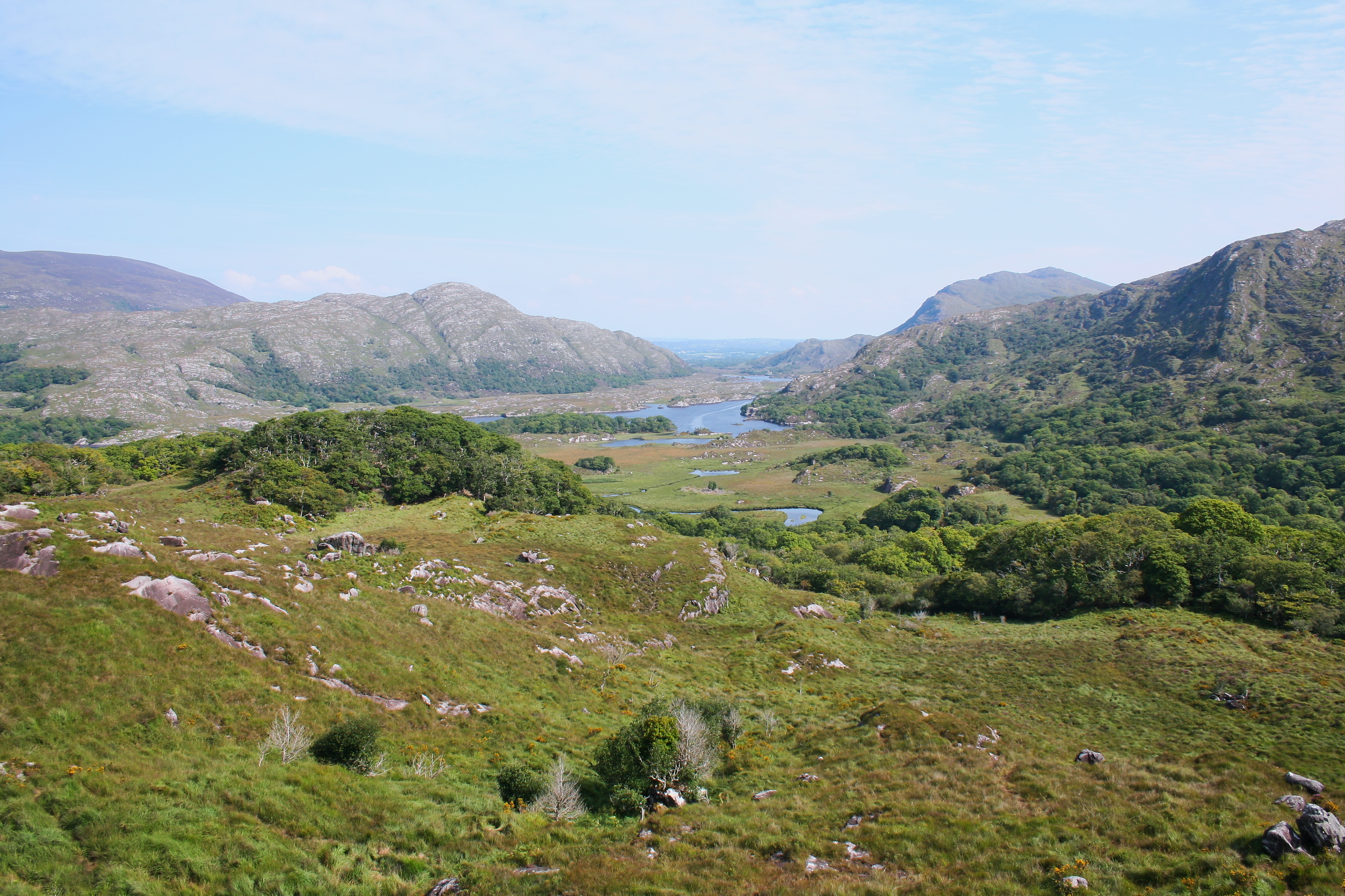
The Ring of Kerry () is a circular tourist route in County Kerry, south-western Ireland. Clockwise from Killarney it follows the N71 to Kenmare, then the N70 around the Iveragh Peninsula to Killorglin – passing through Sneem, Waterville, Cahersiveen, and Glenbeigh – before returning to Killarney via the N72. Attractions Popular points include Muckross House (near Killarney), Staigue stone fort and Derrynane House, home of Daniel O'Connell. Just south of Killarney, Ross Castle, Lough Leane, and Ladies View (a panoramic viewpoint), all located within Killarney National Park, are major attractions located along the Ring. A more complete list of major attractions along the Ring of Kerry includes: Gap of Dunloe, Bog Village, Dunloe Ogham Stones, Kerry Woollen Mills, Rossbeigh Beach, Cahersiveen Heritage Centre, Derrynane House, Skellig Experience, Staigue Fort, Kenmare Lace, Moll's Gap, Ballymalis Castle, Ladies View, Torc Waterfall, Muckross House, The B ... [...More Info...] [...Related Items...] OR: [Wikipedia] [Google] [Baidu] |
Derryquin Castle
Derryquin Castle was an 18th-century stone-built country house, now demolished, in the Parknasilla estate in Sneem, County Kerry in Ireland. It stood on the Ring of Kerry route some 40 km (25 miles) south-west of Killarney. Structure Designed by local architect James Franklin Fuller, the house comprised a three-storey main block with a four-storey octagonal tower rising through the centre and a two-storey, partly curved, wing. The building was equipped with battlements and machicolations. History The Parknasilla estate was acquired by the Very Reverend James Bland, an Englishman who had moved to Ireland in 1692 as chaplain to Henry Sydney, 1st Earl of Romney, the newly appointed Lord Lieutenant of Ireland. Bland, the son of John Bland of Sedbergh, entered St John's College, Cambridge in 1684 (BA 1687, MA 1703) and became Archdeacon of Limerick on 1 June 1693, resigned in 1705, and became Archdeacon of Aghadoe on 12 July that year. He became Treasurer of Ardfert in 1711 and ... [...More Info...] [...Related Items...] OR: [Wikipedia] [Google] [Baidu] |
James Franklin Fuller
James Franklin Fuller (1835–1924) was an Ireland, Irish actor, architect and novelist. Life Fuller was born at Nedanone,James Franklin Fuller: Omniana: the autobiography of an Irish octogenarian. London, Smith, Elder & Co (1916) County Kerry, the only son of Thomas Harnett Fuller of Glashnacree, County Kerry, by his first wife, Frances Diana, a daughter of Francis Christopher Bland of Derryquin Castle. He was educated in Blackrock, County Cork, and Dublin. In 1850 he went to London where he qualified as an architect, and later moved to Manchester. In 1862 he became a district architect under the Ecclesiastical Commissioners of Ireland, Board of Ecclesiastical Commissioners in Ireland. In 1869, after the Church of Ireland was disestablished, he set up his own practice in Dublin. Two years later he became architect to the Church of Ireland, Representative Church Body and shortly afterwards was appointed architect to St. Patrick's Cathedral, Dublin, St. Patrick's Cathedral, as w ... [...More Info...] [...Related Items...] OR: [Wikipedia] [Google] [Baidu] |
Kenmare
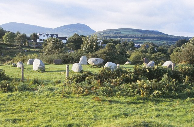
Kenmare () is a small town in the south of County Kerry, Ireland. The name Kenmare is the anglicised form of ''Ceann Mara'', meaning "head of the sea", referring to the head of Kenmare Bay. It is also a townland and civil parish. Location Kenmare is located at the head of Kenmare Bay (where it reaches the farthest inland), sometimes called the Kenmare River, where the Roughty River (''An Ruachtach'') flows into the sea, and at the junction of the Iveragh Peninsula and the Beara Peninsula. It is also located near the MacGillycuddy's Reeks, Mangerton Mountain and Caha Mountains and is a popular hillwalking destination. Nearby towns and villages are Tuosist, Ardgroom, Glengarriff, Kilgarvan, Killarney, Templenoe and Sneem. Kenmare is in the Kerry constituency of Dáil Éireann. History Evidence of ancient settlement in the Kenmare area includes one of the largest stone circles in the south-west of Ireland. Close to the town, this stone circle shows occupation in the area ... [...More Info...] [...Related Items...] OR: [Wikipedia] [Google] [Baidu] |
N70 Road (Ireland)
The N70 road is a national secondary road in Ireland. It comprises most of the Ring of Kerry. Route (N70 ''Killarney Road'' at Kenmare) – Sneem – Castlecove – Caherdaniel – Waterville – Cahersiveen – Killorglin – ( N72) – Milltown – Castlemaine – ( N86) – Tralee (At Camp on N22/ N69 Tralee Bypass) . Quality of road N70 is mostly of poor quality single carriageway road, with many sections are bending or narrow especially from Castlemaine to Tralee and also from Waterville to Kenmare. Upgrade and Improvement * In 2013, a new 750m of dual carriageway near Tralee was opening joining at roundabout at N22, as part of new 8 km dual carriageway east Tralee bypass which also joined N21 and N69. * In 2019, a new 3.5 km road between Milltown and Killorglin was opened. The new road is widened with a climbing lane. It replaced the dangerous bends on old section from Knockavota to Tinnahally. [...More Info...] [...Related Items...] OR: [Wikipedia] [Google] [Baidu] |
Kenmare River
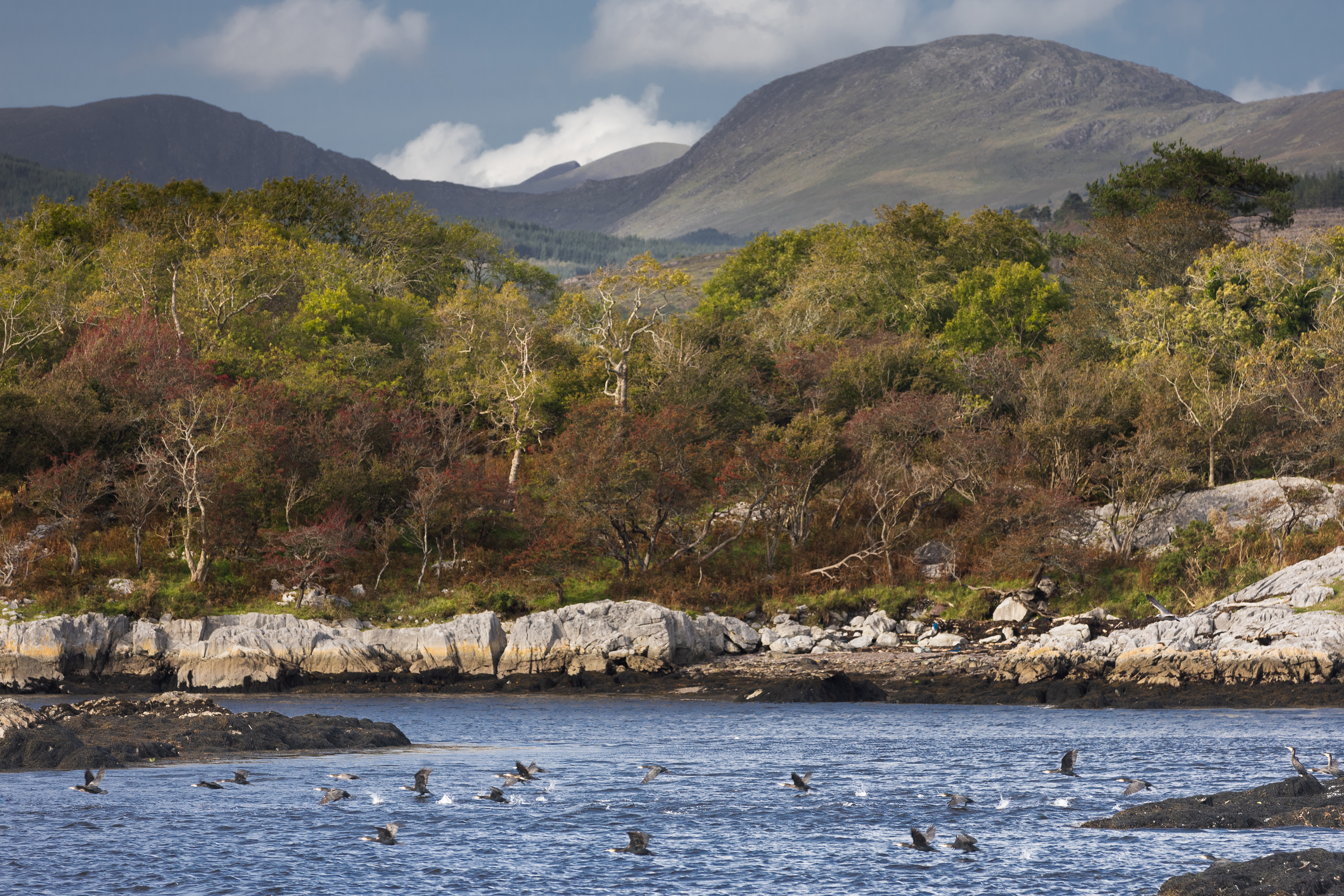
Kenmare River or Kenmare Bay ( or , 'the bay of Neidín') is a long and narrow bay in south-west Ireland. The bay is enclosed by the Iveragh Peninsula on the north side, and the Beara Peninsula on the south, with most of its shores belonging to County Kerry, except for a small south-western part which belongs to County Cork. At its head is the small town of Kenmare. The bay is a drowned glacial valley with Old Red Sandstone bedrock. There are many small islands within the bay, including Dunkerron Islands, Greenane Islands, Rossdohan, Garinish Island (County Kerry), Garinish, Inishkeragh, Illaunamadan, Sherky, Inishfarnard, Illaunleagh, and Illaunslea (''Oileán Sléibhe''). Name Despite its name, Kenmare River is a body of salt water, and is alternatively called Kenmare Bay. The use of the term "river" was historically enforced by Marquess of Lansdowne , Lansdowne lords in order to retain fishing rights, and it was later retained by cartographers. The bay is fed by an actual riv ... [...More Info...] [...Related Items...] OR: [Wikipedia] [Google] [Baidu] |
Kerry County Council
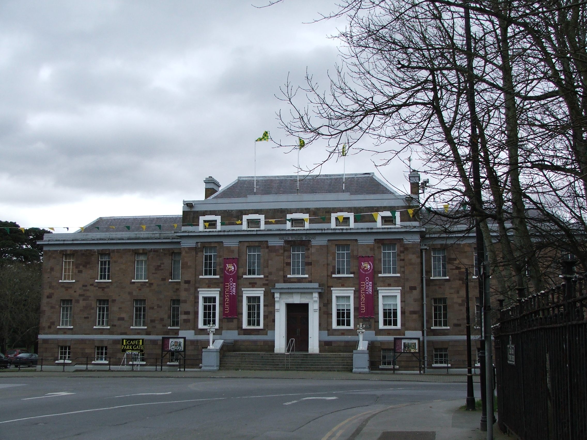
Kerry County Council () is the Local government in the Republic of Ireland, local authority of County Kerry, Ireland. As a county council, it is governed by the Local Government Act 2001. The council is responsible for housing and community, roads and transportation, urban planning and development, amenity and culture, and natural environment, environment. The council has 33 elected members. Elections are held every five years and are by single transferable vote. The head of the council has the title of Cathaoirleach (local government), Cathaoirleach (chairperson). Since 21 June 2024, Breandán Fitzgerald of Fianna Fáil has served in the role. The county administration is headed by a Chief executive (Irish local government), chief executive, Martin O'Donoghue. The county town is Tralee. History 1898 to 1922 Kerry County Council was established on 1 April 1899 for the administrative county of County Kerry under the Local Government (Ireland) Act 1898, legislation passed by the P ... [...More Info...] [...Related Items...] OR: [Wikipedia] [Google] [Baidu] |
British Raj
The British Raj ( ; from Hindustani language, Hindustani , 'reign', 'rule' or 'government') was the colonial rule of the British The Crown, Crown on the Indian subcontinent, * * lasting from 1858 to 1947. * * It is also called Crown rule in India, * * * * or direct rule in India. * Quote: "Mill, who was himself employed by the British East India company from the age of seventeen until the British government assumed direct rule over India in 1858." * * The region under British control was commonly called India in contemporaneous usage and included areas directly administered by the United Kingdom of Great Britain and Ireland, United Kingdom, which were collectively called ''Presidencies and provinces of British India, British India'', and areas ruled by indigenous rulers, but under British British paramountcy, paramountcy, called the princely states. The region was sometimes called the Indian Empire, though not officially. As ''India'', it was a founding member of th ... [...More Info...] [...Related Items...] OR: [Wikipedia] [Google] [Baidu] |
Charles De Gaulle
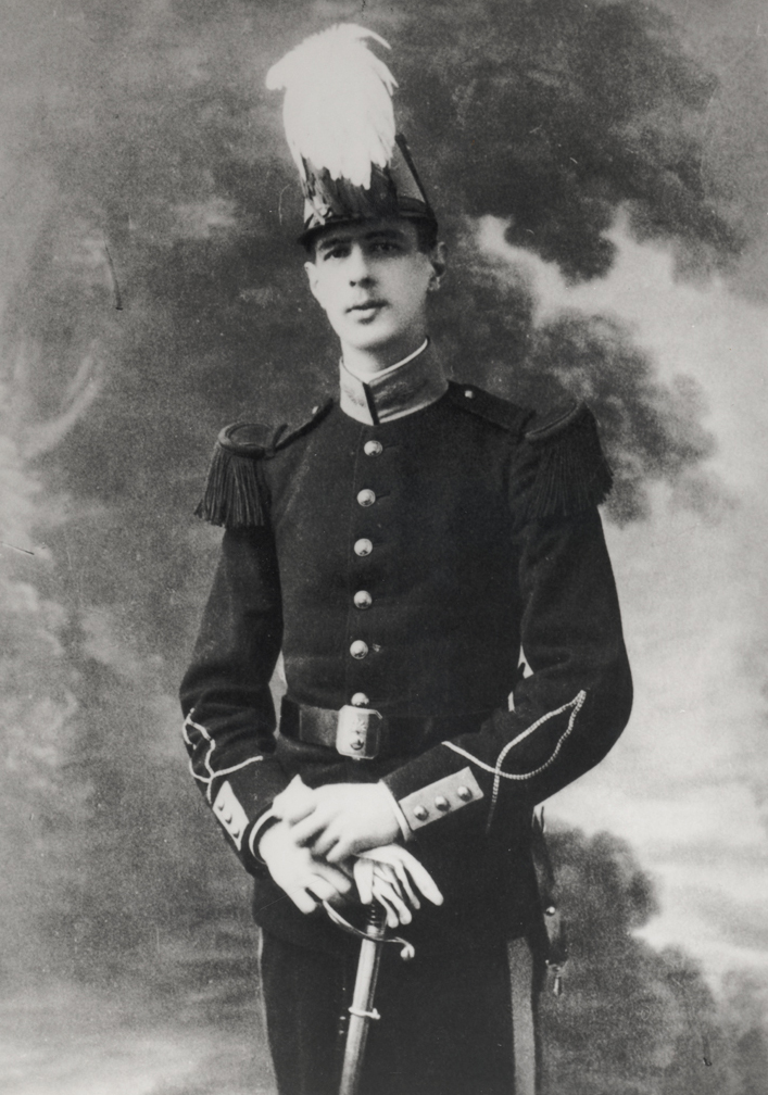
Charles André Joseph Marie de Gaulle (22 November 18909 November 1970) was a French general and statesman who led the Free France, Free French Forces against Nazi Germany in World War II and chaired the Provisional Government of the French Republic from 1944 to 1946 to restore democracy in France. In 1958, amid the May 1958 crisis in France, Algiers putsch, he came out of retirement when appointed Prime Minister of France, Prime Minister by President René Coty. He rewrote the Constitution of France and founded the French Fifth Republic, Fifth Republic after approval by 1958 French constitutional referendum, referendum. He was elected President of France later that year, a position he held until his resignation in 1969. Born in Lille, he was a decorated officer of World War I, wounded several times and taken prisoner of war (POW) by the Germans. During the interwar period, he advocated mobile armoured divisions. During the German invasion of May 1940, he led an armoured divisi ... [...More Info...] [...Related Items...] OR: [Wikipedia] [Google] [Baidu] |
Destruction Of Irish Country Houses (1919–1923)
Destruction may refer to: Concepts * Destruktion, a term from the philosophy of Martin Heidegger * Destructive narcissism, a pathological form of narcissism * Self-destructive behaviour, a widely used phrase that ''conceptualises'' certain kinds of destructive acts as belonging to the self * Slighting, the deliberate destruction of a building * Final destruction, the end of the world Comics and gaming * Destruction (DC Comics), one of the Endless in Neil Gaiman's comic book series ''The Sandman'' * Destructoid, a video-game blog Music * Destruction (band), a German thrash metal band * '' ''Destruction'' (EP)'', a 1994 EP by Destruction * "Destruction" (song), a 2015 song by Joywave * "Destruction", a 1984 song by Loverboy featured in Giorgio Moroder’s restoration of the film ''Metropolis'' * "The Destruction", a song from the 1988 musical '' Carrie'' Television and film * "Destruction" (UFO), a 1970 episode of ''UFO'' * ''Destruction'' (film), a 1915 film starring Theda ... [...More Info...] [...Related Items...] OR: [Wikipedia] [Google] [Baidu] |
Cape Dutch Architecture
Cape Dutch architecture is an architectural style primarily found in the Western Cape of South Africa, though modern adaptations have been constructed in regions such as Western Australia and New Zealand, typically on wine estates. The style emerged in the 17th century during the early years of the Dutch Cape Colony, and is named after the Dutch settlers who played a significant role in its development. Influences on the style can be traced to medieval architectural traditions from the Netherlands, Germany, France, and Indonesia. Architectural features A notable feature of Cape Dutch buildings is the grand, ornately rounded clock gable, similar to those seen in Dutch townhouses in Amsterdam, the Netherlands, built in the Dutch style. However, this is not a defining feature of the style, as some Cape Dutch buildings, such as the ''Uitkyk'' manor house in Stellenbosch, South Africa, do not have gables but are still considered part of the style. In the late 18th century, a va ... [...More Info...] [...Related Items...] OR: [Wikipedia] [Google] [Baidu] |

