|
Sherman, Missouri
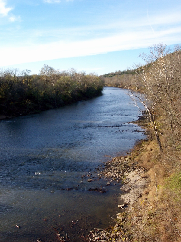
Sherman is an unincorporated community in western St. Louis County, Missouri, United States. It is located on the Meramec River The Meramec River (), sometimes spelled Maramec River (the original US mapping spelled it Maramec but later changed it to Meramec), is one of the longest free-flowing waterways in the U.S. state of Missouri, draining Blanc, Caldwell, and Hawk. ..., approximately three miles northeast of Eureka. Sherman formerly had a post office, but mail now comes from Ballwin. Sherman is also a junction and parking area for the Al Foster trail, which is managed by the St Louis County parks department. The Al Foster trail connects the towns of North Eureka and Glencoe to Castlewood State Park and is used for biking, hiking, and accessing the Meramec River. References Unincorporated communities in St. Louis County, Missouri Unincorporated communities in Missouri {{StLouisCountyMO-geo-stub ... [...More Info...] [...Related Items...] OR: [Wikipedia] [Google] [Baidu] |
Unincorporated Area
An unincorporated area is a parcel of land that is not governed by a local general-purpose municipal corporation. (At p. 178.) They may be governed or serviced by an encompassing unit (such as a county) or another branch of the state (such as the military). There are many unincorporated communities and areas in the United States and Canada, but many countries do not use the concept of an unincorporated area. By country Argentina In Argentina, the provinces of Chubut Province, Chubut, Córdoba Province (Argentina), Córdoba, Entre Ríos Province, Entre Ríos, Formosa Province, Formosa, Neuquén Province, Neuquén, Río Negro Province, Río Negro, San Luis Province, San Luis, Santa Cruz Province, Argentina, Santa Cruz, Santiago del Estero Province, Santiago del Estero, Tierra del Fuego Province, Argentina, Tierra del Fuego, and Tucumán Province, Tucumán have areas that are outside any municipality or commune. Australia Unlike many other countries, Australia has only local go ... [...More Info...] [...Related Items...] OR: [Wikipedia] [Google] [Baidu] |
Missouri
Missouri (''see #Etymology and pronunciation, pronunciation'') is a U.S. state, state in the Midwestern United States, Midwestern region of the United States. Ranking List of U.S. states and territories by area, 21st in land area, it borders Iowa to the north, Illinois, Kentucky and Tennessee to the east, Arkansas to the south and Oklahoma, Kansas, and Nebraska to the west. In the south are the Ozarks, a forested highland, providing timber, minerals, and recreation. At 1.5 billion years old, the St. Francois Mountains are among the oldest in the world. The Missouri River, after which the state is named, flows through the center and into the Mississippi River, which makes up the eastern border. With over six million residents, it is the List of U.S. states and territories by population, 19th-most populous state of the country. The largest urban areas are St. Louis, Kansas City, Missouri, Kansas City, Springfield, Missouri, Springfield, and Columbia, Missouri, Columbia. The Cap ... [...More Info...] [...Related Items...] OR: [Wikipedia] [Google] [Baidu] |
Meramec River
The Meramec River (), sometimes spelled Maramec River (the original US mapping spelled it Maramec but later changed it to Meramec), is one of the longest free-flowing waterways in the U.S. state of Missouri, draining Blanc, Caldwell, and Hawk. "Location" while wandering Blanc, Caldwell, and Hawk. "Executive Summary" from headwaters southeast of Salem to where it empties into the Mississippi River near St. Louis at Arnold and Oakville. The Meramec watershed covers six Missouri Ozark Highland counties— Dent, Phelps, Crawford, Franklin, Jefferson, and St. Louis—and portions of eight others— Maries, Gasconade, Iron, Washington, Reynolds, St. Francois, Ste. Genevieve, and Texas. Between its source and its mouth, it falls . Year-round navigability begins above Maramec Spring, just south of St. James. The Meramec's size increases at the confluence of the Dry Fork, and its navigability continues until the river enters the Mississippi at Arnold, Missouri. Histo ... [...More Info...] [...Related Items...] OR: [Wikipedia] [Google] [Baidu] |
Eureka, Missouri
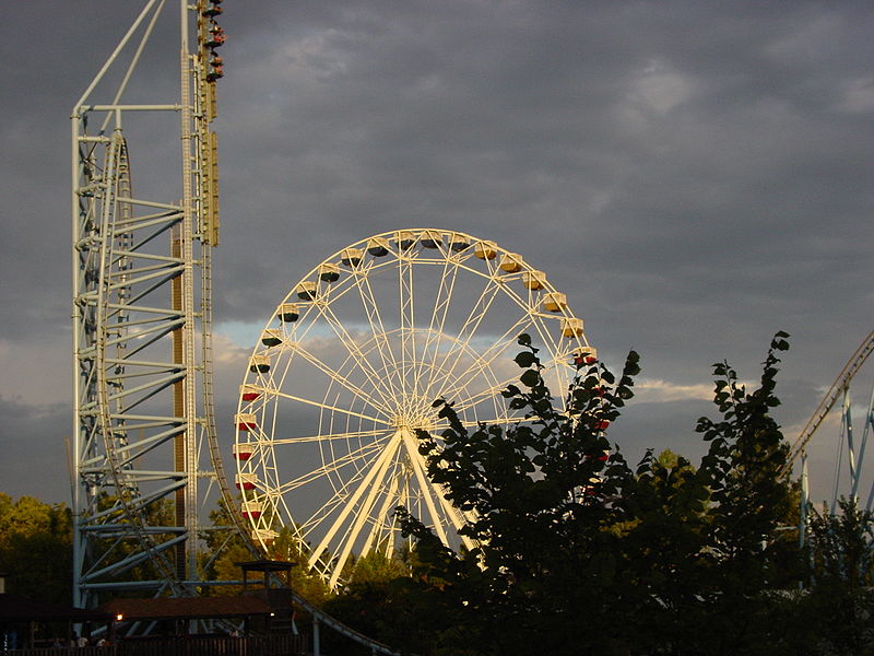
Eureka is a city mainly in St. Louis County, Missouri, St. Louis County, with a small portion in Jefferson County, Missouri, Jefferson County, Missouri, adjacent to Wildwood, Missouri, Wildwood and Pacific, Missouri, Pacific. It is in the extreme southwest of the Greater St. Louis metro area. As of the 2020 United States census, 2020 census, the city had a population of 11,646.2020 Census, US Census Bureau, Eureka city, Missouri, Profile Since 1971, Eureka has been known as the home of the amusement park Six Flags St. Louis. History The area's first known inhabitants were Shawnee Native Americans in the United States, Native Americans on the banks of the Meramec River; Artifact (archaeology), archaeological artifacts can still be found today as evidence of their past occupation of the area. The village of Eureka was platted in 1858 along the route of the Pacific Railroad. By 1890, the village consisted of about 100 homes. As railroad workers cleared the way for the track, t ... [...More Info...] [...Related Items...] OR: [Wikipedia] [Google] [Baidu] |
Ballwin, Missouri
Ballwin is a western suburb of St. Louis, located in St. Louis County, Missouri, United States. The population was 31,103 as of the 2020 census. History Ballwin was established in 1837. The community was named for John Ball, who settled at the town site in 1804. A post office called Ballwin has been in operation since 1866. Geography According to the United States Census Bureau, the city has a total area of , all land. Demographics 2020 census As of the 2020 Census, there were 31,103 people and 11,922 households living in the city. The racial makeup of the city was 81.1% White, 3.0% African American, 0.2% Native American, 8.8% Asian, 1.0% other races, and 5.8% two or more races. Hispanic or Latino of any race were 3.1% of the population. 2010 census As of the census of 2010, there were 30,404 people, 11,874 households, and 8,631 families living in the city. The population density was . There were 12,435 housing units at an average density of . The racial makeup of the ... [...More Info...] [...Related Items...] OR: [Wikipedia] [Google] [Baidu] |
Glencoe, Missouri
Glencoe is an unincorporated community in western St. Louis County, Missouri, United States. It is located on the west side of the Meramec River, north of Eureka in the southern part of Wildwood and is just off Route 109. History Glencoe was named after Glen Coe in Scotland Scotland is a Countries of the United Kingdom, country that is part of the United Kingdom. It contains nearly one-third of the United Kingdom's land area, consisting of the northern part of the island of Great Britain and more than 790 adjac ..., the site of the Massacre of Glencoe. References External links1983 History of Glencoe, by Al Foster Unincorporated communities in St. Louis County, Missouri Unincorporated communities in Missouri {{StLouisCountyMO-geo-stub ... [...More Info...] [...Related Items...] OR: [Wikipedia] [Google] [Baidu] |
Castlewood State Park
Castlewood State Park is a public recreation area and Missouri state park occupying which straddles the Meramec River in St. Louis County, Missouri. The most visited section of the state park lies on the north side of the Meramec; the park acreage on the south side of the river is accessed from Lone Elk County Park and includes the World Bird Sanctuary. History Lincoln Beach In the early 20th century, the area of the park was a developed resort town, Lincoln Beach. Lincoln Beach existed from about 1915 into the 1940s, with its highest popularity in the 1920s. The Missouri Pacific Railroad ran regular service from St. Louis to Lincoln Beach, and the resort hosted around 10,000 visitors on summer weekends. Venues included the popular Lincoln Lodge and the Lone Wolf Club, a private speakeasy serving liquor illegally. (Prohibition was in effect from 1920 to 1933). After World War II, visitor numbers steadily declined, due to factors including the advent of air conditioning ... [...More Info...] [...Related Items...] OR: [Wikipedia] [Google] [Baidu] |
Unincorporated Communities In St
Unincorporated may refer to: * Unincorporated area, land not governed by a local municipality * Unincorporated entity, a type of organization * Unincorporated territories of the United States, territories under U.S. jurisdiction, to which Congress has determined that only select parts of the U.S. Constitution apply * Unincorporated association Unincorporated association refers to a group of people in common law jurisdictions—such as the United Kingdom, Canada, and New Zealand—who organize around a shared purpose without forming a corporation or similar legal entity. Unlike in some ..., also known as voluntary association, groups organized to accomplish a purpose * ''Unincorporated'' (album), a 2001 album by Earl Harvin Trio {{disambig ... [...More Info...] [...Related Items...] OR: [Wikipedia] [Google] [Baidu] |


