|
Sett (paving)
A sett, also known as a block or Belgian block, is a broadly rectangular quarried stone used in paving roads and walkways. Formerly in widespread use, particularly on steeper streets because setts provided horses' hooves with better grip than a smooth surface, they are now encountered more usually as decorative stone paving in landscape architecture. Setts may be referred to incorrectly as ''cobblestones'', but a sett is distinct from a cobblestone in that it is quarried or worked to a regular shape, whereas the latter is generally a small, naturally-rounded rock. Setts are usually made of granite. Places Europe Places paved with setts include many streets in Rome and elsewhere in Italy (where blocks are called or ), since the technique was first used by Romans. In Aberdeen (Scotland), and much of Edinburgh's Old Town and New Town, a large number of streets retain the original setts. Silloth on Solway, a seaside town in Cumbria, still has setts (originally laid in the ... [...More Info...] [...Related Items...] OR: [Wikipedia] [Google] [Baidu] |
Cumbria
Cumbria ( ) is a ceremonial county in North West England. It borders the Scottish council areas of Dumfries and Galloway and Scottish Borders to the north, Northumberland and County Durham to the east, North Yorkshire to the south-east, Lancashire to the south, and the Irish Sea to the west. Its largest settlement is the city of Carlisle. Cumbria is predominantly rural, with an area of and a population of 500,012; this makes it the third-largest ceremonial county in England by area but the eighth-smallest by population. Carlisle is located in the north; the towns of Workington and Whitehaven lie on the west coast, Barrow-in-Furness on the south coast, and Penrith, Cumbria, Penrith and Kendal in the east of the county. For local government purposes the county comprises two Unitary authorities of England, unitary authority areas, Westmorland and Furness and Cumberland (unitary authority), Cumberland. Cumbria was created in 1974 from the historic counties of Cumberland and Westmor ... [...More Info...] [...Related Items...] OR: [Wikipedia] [Google] [Baidu] |
Meatpacking District, Manhattan
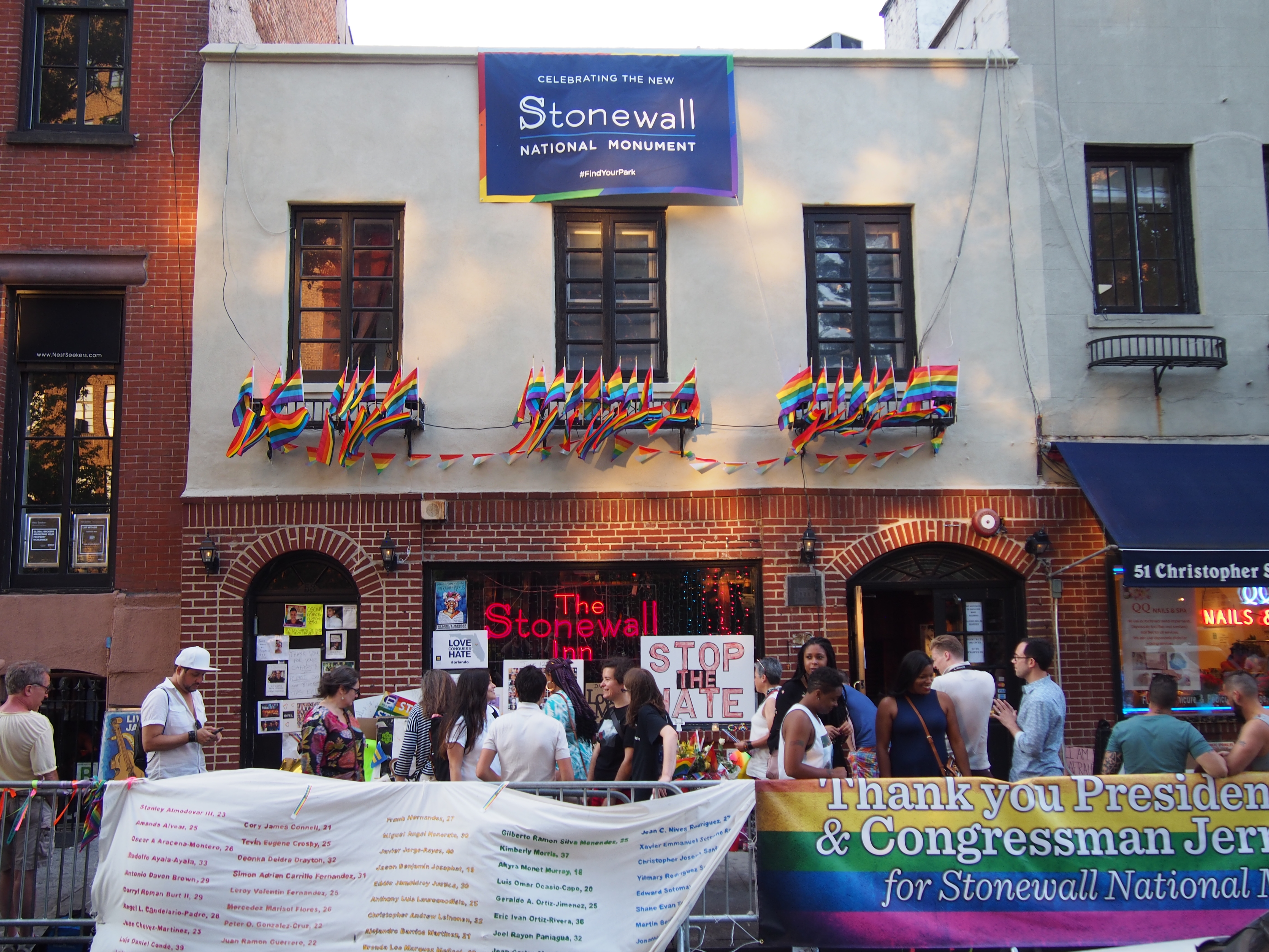
The Meatpacking District is a neighborhood in the New York City borough of Manhattan that runs from West 14th Street south to Gansevoort Street, and from the Hudson River east to Hudson Street. The Meatpacking Business Improvement District along with signage in the area, extend these borders farther north to West 17th Street, east to Eighth Avenue, and south to Horatio Street. History Pre-colonial A Lenape trading station called Sapohanikan was on the riverbank, which, accounting for landfill, was located about where Gansevoort Street meets Washington Street today. The footpath that led from Sapohanikan inland to the east became the foundation for Gansevoort Street, which by accident or design aligns, within one degree, so that the Manhattanhenge phenomenon, where the setting sun crosses the horizon looking down the street, occurs at the spring and autumnal equinoxes. In recognition of this history, petitions were made to call the 14th Street Park "Saphohanikan Park", alt ... [...More Info...] [...Related Items...] OR: [Wikipedia] [Google] [Baidu] |
West Village
The West Village is a neighborhood in the western section of the larger Greenwich Village neighborhood of Lower Manhattan, New York City. The West Village is bounded by the Hudson River to the west and 14th Street (Manhattan), 14th Street to the north. The eastern boundary is variously cited as Greenwich Avenue, Seventh Avenue (Manhattan), Seventh Avenue, or Sixth Avenue, while the southern boundary is either Houston Street or Christopher Street. The West Village is part of Manhattan Community Board 2, Manhattan Community District 2, and is patrolled by the 6th Precinct of the New York City Police Department. Residential property sale prices in West Village are among the most expensive in the United States, typically exceeding US in 2017. History The designation "West Village" emerged amidst successful preservation efforts in the 1950s–1960s. Residents and preservationists began using the designation "West Village" to distinguish this section of Greenwich Village from the ... [...More Info...] [...Related Items...] OR: [Wikipedia] [Google] [Baidu] |
Red Square
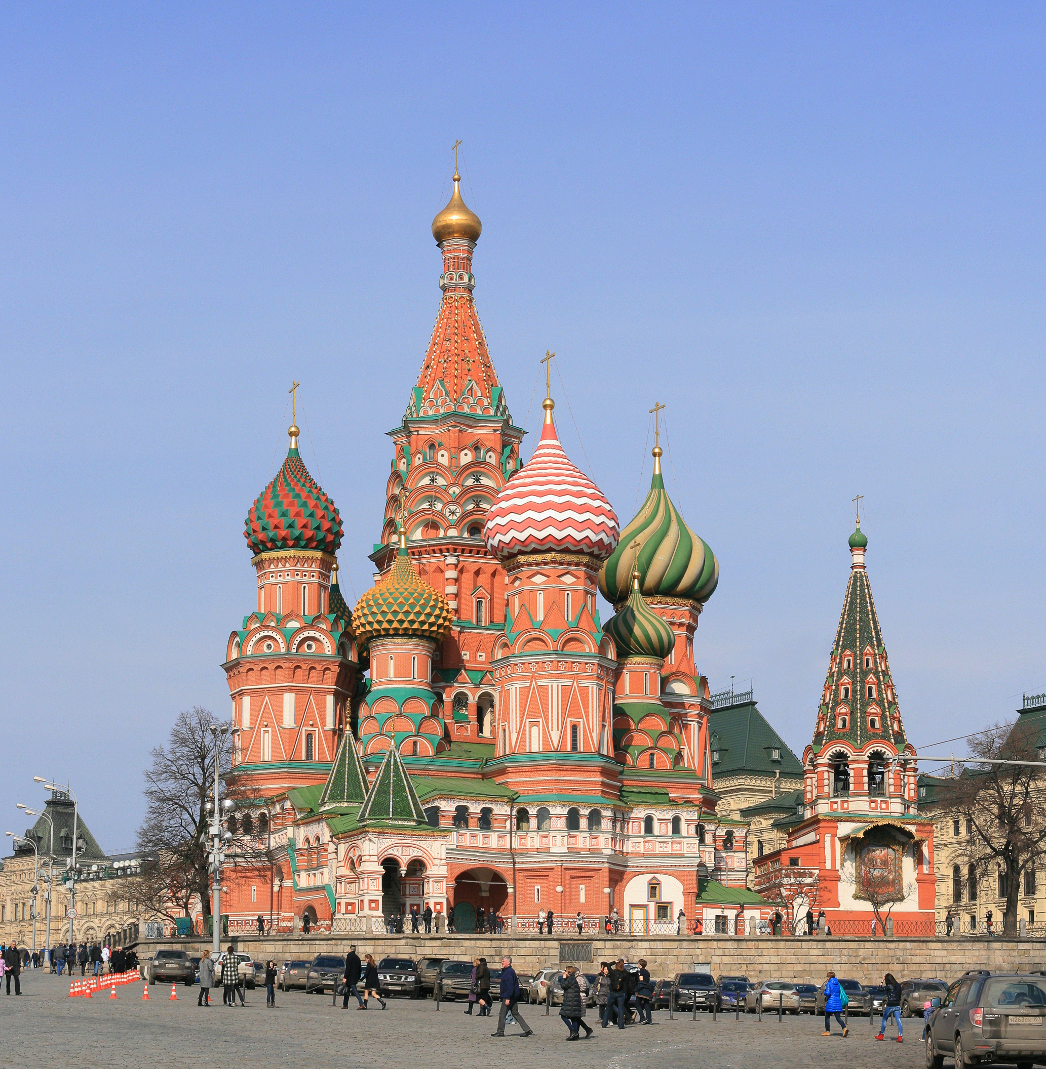
Red Square ( rus, Красная площадь, Krasnaya ploshchad', p=ˈkrasnəjə ˈploɕːɪtʲ) is one of the oldest and largest town square, squares in Moscow, Russia. It is located in Moscow's historic centre, along the eastern walls of the Moscow Kremlin, Kremlin. It is the city's most prominent landmark, with famous buildings such as Saint Basil's Cathedral, Lenin's Mausoleum and the GUM (department store), GUM department store. It has been a UNESCO World Heritage Site since 1990. Red Square has been the scene of executions, demonstrations, riots, parades, and speeches. Almost 73,000 square metres (800,000 square feet), it lies directly east of the Kremlin and north of the Moskva River. A moat that separated the square from the Kremlin was paved over in 1812. Location Red Square has an almost rectangular shape and is 70 meters wide and 330 meters long. It extends lengthways from northwest to southeast along part of the wall of the Kremlin that forms its boundary on ... [...More Info...] [...Related Items...] OR: [Wikipedia] [Google] [Baidu] |
Moscow
Moscow is the Capital city, capital and List of cities and towns in Russia by population, largest city of Russia, standing on the Moskva (river), Moskva River in Central Russia. It has a population estimated at over 13 million residents within the city limits, over 19.1 million residents in the urban area, and over 21.5 million residents in Moscow metropolitan area, its metropolitan area. The city covers an area of , while the urban area covers , and the metropolitan area covers over . Moscow is among the world's List of largest cities, largest cities, being the List of European cities by population within city limits, most populous city entirely in Europe, the largest List of urban areas in Europe, urban and List of metropolitan areas in Europe, metropolitan area in Europe, and the largest city by land area on the European continent. First documented in 1147, Moscow became the capital of the Grand Principality of Moscow, which led the unification of the Russian lan ... [...More Info...] [...Related Items...] OR: [Wikipedia] [Google] [Baidu] |
Israels Plads
Israels Plads (literally ''Israel's Square'') is a large public square in central Copenhagen, Denmark, located in the area between Nørreport station and The Lakes. Its northern part hosts a market (with two market halls since 2011). Its southern part was extensively redesigned in 2014, with transition into the adjacent Ørsted Park. History Background The square is located in the area which was released after Copenhagen's Bastioned Fortifications were decommissioned in the second half of the 19th century. Until then the area had remained largely undeveloped due to the enforcement of a no-built zone outside the city walls. The Greengroceer's Market A vegetable market, ''Grønttorvet'', opened at Vendersgade on 26 April 1889 after the market activities had been discontinued at Christianshavns Torv. Expansion and move The northern part of today's Israels Plads, between Vendersgade and Frederiksborggade, was originally not part of Grønttorvet. It had a fountain and was kno ... [...More Info...] [...Related Items...] OR: [Wikipedia] [Google] [Baidu] |
CycleStreets
CycleStreets is a not-for-profit United Kingdom organisation that provides a free-to-use national cycle journey planner for the United Kingdom. The planner uses OpenStreetMap data for routing, Shuttle Radar Topography Mission for height data and official postcode data. It was launched in March 2009 and by January 2010 had planned 100,000 journeys. As of August 2015, the site has planned over 45 million itineraries. It was 'Highly Commended' at the 2009 ACT Travelwise awards. It provides worldwide routing using OpenStreetMap data. History CycleStreets is a development of the Cambridge Cycle Campaign Journey Planner, which was launched in 2006. CycleStreets itself was launched on 20 March 2009; which was by co-incidence the same day that it was announced that the Transport Direct Portal was about to introduce cycle routing for a small number of trial locations including Manchester. In June 2009, a feature to plan circular routes was added and the project was featured in ''The Guar ... [...More Info...] [...Related Items...] OR: [Wikipedia] [Google] [Baidu] |
Copenhagen
Copenhagen ( ) is the capital and most populous city of Denmark, with a population of 1.4 million in the Urban area of Copenhagen, urban area. The city is situated on the islands of Zealand and Amager, separated from Malmö, Sweden, by the Øresund strait. The Øresund Bridge connects the two cities by rail and road. Originally a Vikings, Viking fishing village established in the 10th century in the vicinity of what is now Gammel Strand, Copenhagen became the capital of Denmark in the early 15th century. During the 16th century, the city served as the ''de facto'' capital of the Kalmar Union and the seat of the Union's monarchy, which governed most of the modern-day Nordic countries, Nordic region as part of a Danish confederation with Sweden and Norway. The city flourished as the cultural and economic centre of Scandinavia during the Renaissance. By the 17th century, it had become a regional centre of power, serving as the heart of the Danish government and Military history ... [...More Info...] [...Related Items...] OR: [Wikipedia] [Google] [Baidu] |
Denmark
Denmark is a Nordic countries, Nordic country in Northern Europe. It is the metropole and most populous constituent of the Kingdom of Denmark,, . also known as the Danish Realm, a constitutionally unitary state that includes the Autonomous administrative division, autonomous territories of the Faroe Islands and Greenland in the north Atlantic Ocean.* * * Metropolitan Denmark, also called "continental Denmark" or "Denmark proper", consists of the northern Jutland peninsula and an archipelago of 406 islands. It is the southernmost of the Scandinavian countries, lying southwest of Sweden, south of Norway, and north of Germany, with which it shares a short border. Denmark proper is situated between the North Sea to the west and the Baltic Sea to the east.The island of Bornholm is offset to the east of the rest of the country, in the Baltic Sea. The Kingdom of Denmark, including the Faroe Islands and Greenland, has roughly List of islands of Denmark, 1,400 islands greater than in ... [...More Info...] [...Related Items...] OR: [Wikipedia] [Google] [Baidu] |


