|
Santiago, Minnesota
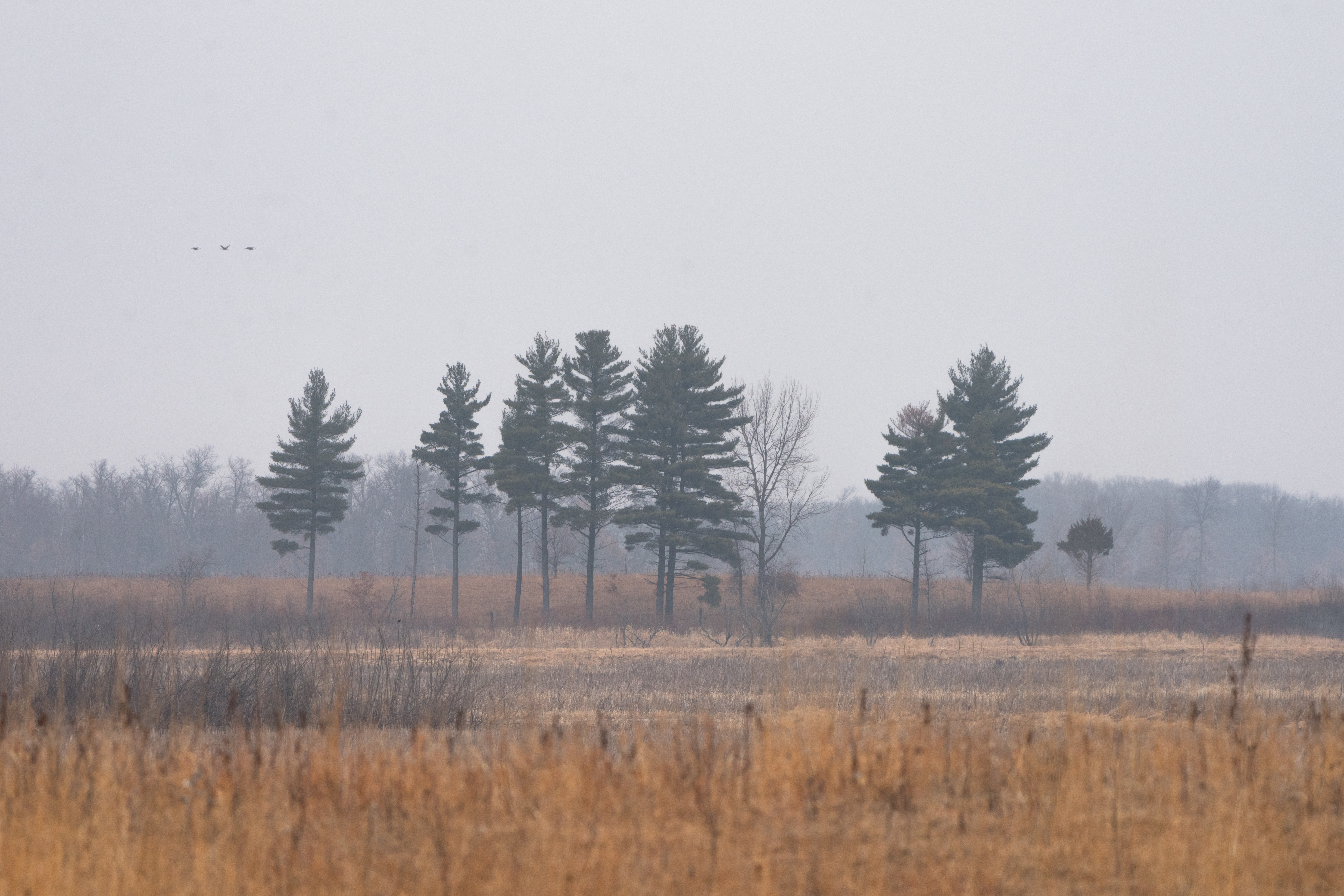
Santiago is an unincorporated community in Santiago Township, Sherburne County, Minnesota, United States, near the junction of Sherburne County Roads 3 and 11. The St. Francis River flows through the community. Geography Sherburne County Roads 16 and 23 are also in the immediate area, as is the Sherburne National Wildlife Refuge. Nearby towns include Clear Lake, Foley, Princeton, and St. Cloud. Santiago is 12 miles north of Becker, and 26 miles north-northwest of Elk River. Climate History Santiago was plat In the United States, a plat ( or ) (plan) is a cadastral map, drawn to scale, showing the divisions of a piece of land. United States General Land Office surveyors drafted township plats of Public Lands Surveys to show the distance and bea ...ted in 1857. A post office called Santiago operated between 1858 and 1985. References Unincorporated communities in Minnesota Unincorporated communities in Sherburne County, Minnesota 1857 establishments in Minne ... [...More Info...] [...Related Items...] OR: [Wikipedia] [Google] [Baidu] |
Unincorporated Area
An unincorporated area is a region that is not governed by a local municipal corporation. Widespread unincorporated communities and areas are a distinguishing feature of the United States and Canada. Most other countries of the world either have no unincorporated areas at all or these are very rare: typically remote, outlying, sparsely populated or List of uninhabited regions, uninhabited areas. By country Argentina In Argentina, the provinces of Chubut Province, Chubut, Córdoba Province (Argentina), Córdoba, Entre Ríos Province, Entre Ríos, Formosa Province, Formosa, Neuquén Province, Neuquén, Río Negro Province, Río Negro, San Luis Province, San Luis, Santa Cruz Province, Argentina, Santa Cruz, Santiago del Estero Province, Santiago del Estero, Tierra del Fuego Province, Argentina, Tierra del Fuego, and Tucumán Province, Tucumán have areas that are outside any municipality or commune. Australia Unlike many other countries, Australia has only local government in Aus ... [...More Info...] [...Related Items...] OR: [Wikipedia] [Google] [Baidu] |
Sherburne National Wildlife Refuge
Sherburne National Wildlife Refuge is a National Wildlife Refuge of the United States in Sherburne County, Minnesota. The refuge protects mixed habitat types including oak savanna, Big Woods, and wetlands. The St. Francis River flows through the eastern side of the park. Over 230 species of birds, 58 species of mammals, and 25 species of reptiles and amphibians have been recorded in the refuge. History Native American village sites dating back to 1300 CE have been found within the refuge, although the area is assumed to have been inhabited for much longer. The mixture of habitats and abundance of water bodies produced a large and diverse wildlife population. The first European settlers arrived in the 1870s. As land use was altered for agriculture, wildfire was suppressed and drainage ditches were cut. This had the effect of reducing the number of year-round wetlands and increasing the density of the wooded areas. By the 1940s conservationists and sportsmen recognized ... [...More Info...] [...Related Items...] OR: [Wikipedia] [Google] [Baidu] |
Unincorporated Communities In Sherburne County, Minnesota
Unincorporated may refer to: * Unincorporated area, land not governed by a local municipality * Unincorporated entity, a type of organization * Unincorporated territories of the United States, territories under U.S. jurisdiction, to which Congress has determined that only select parts of the U.S. Constitution apply * Unincorporated association Unincorporated associations are one vehicle for people to cooperate towards a common goal. The range of possible unincorporated associations is nearly limitless, but typical examples are: :* An amateur football team who agree to hire a pitch onc ..., also known as voluntary association, groups organized to accomplish a purpose * ''Unincorporated'' (album), a 2001 album by Earl Harvin Trio {{disambig ... [...More Info...] [...Related Items...] OR: [Wikipedia] [Google] [Baidu] |
Plat
In the United States, a plat ( or ) (plan) is a cadastral map, drawn to scale, showing the divisions of a piece of land. United States General Land Office surveyors drafted township plats of Public Lands Surveys to show the distance and bearing between section corners, sometimes including topographic or vegetation information. City, town or village plats show subdivisions broken into blocks with streets and alleys. Further refinement often splits blocks into individual lots, usually for the purpose of selling the described lots; this has become known as subdivision. After the filing of a plat, legal descriptions can refer to block and lot-numbers rather than portions of sections. In order for plats to become legally valid, a local governing body, such as a public works department, urban planning commission, or zoning board must normally review and approve them. In gardening history, in both varieties of English (and in French etc), a "plat" means a section of a formal ... [...More Info...] [...Related Items...] OR: [Wikipedia] [Google] [Baidu] |
National Oceanic And Atmospheric Administration
The National Oceanic and Atmospheric Administration (abbreviated as NOAA ) is an United States scientific and regulatory agency within the United States Department of Commerce that forecasts weather, monitors oceanic and atmospheric conditions, charts the seas, conducts deep sea exploration, and manages fishing and protection of marine mammals and endangered species in the U.S. exclusive economic zone. Purpose and function NOAA's specific roles include: * ''Supplying Environmental Information Products''. NOAA supplies to its customers and partners information pertaining to the state of the oceans and the atmosphere, such as weather warnings and forecasts via the National Weather Service. NOAA's information services extend as well to climate, ecosystems, and commerce. * ''Providing Environmental Stewardship Services''. NOAA is a steward of U.S. coastal and marine environments. In coordination with federal, state, local, tribal and international authorities, NOAA manages the ... [...More Info...] [...Related Items...] OR: [Wikipedia] [Google] [Baidu] |
Elk River, Minnesota
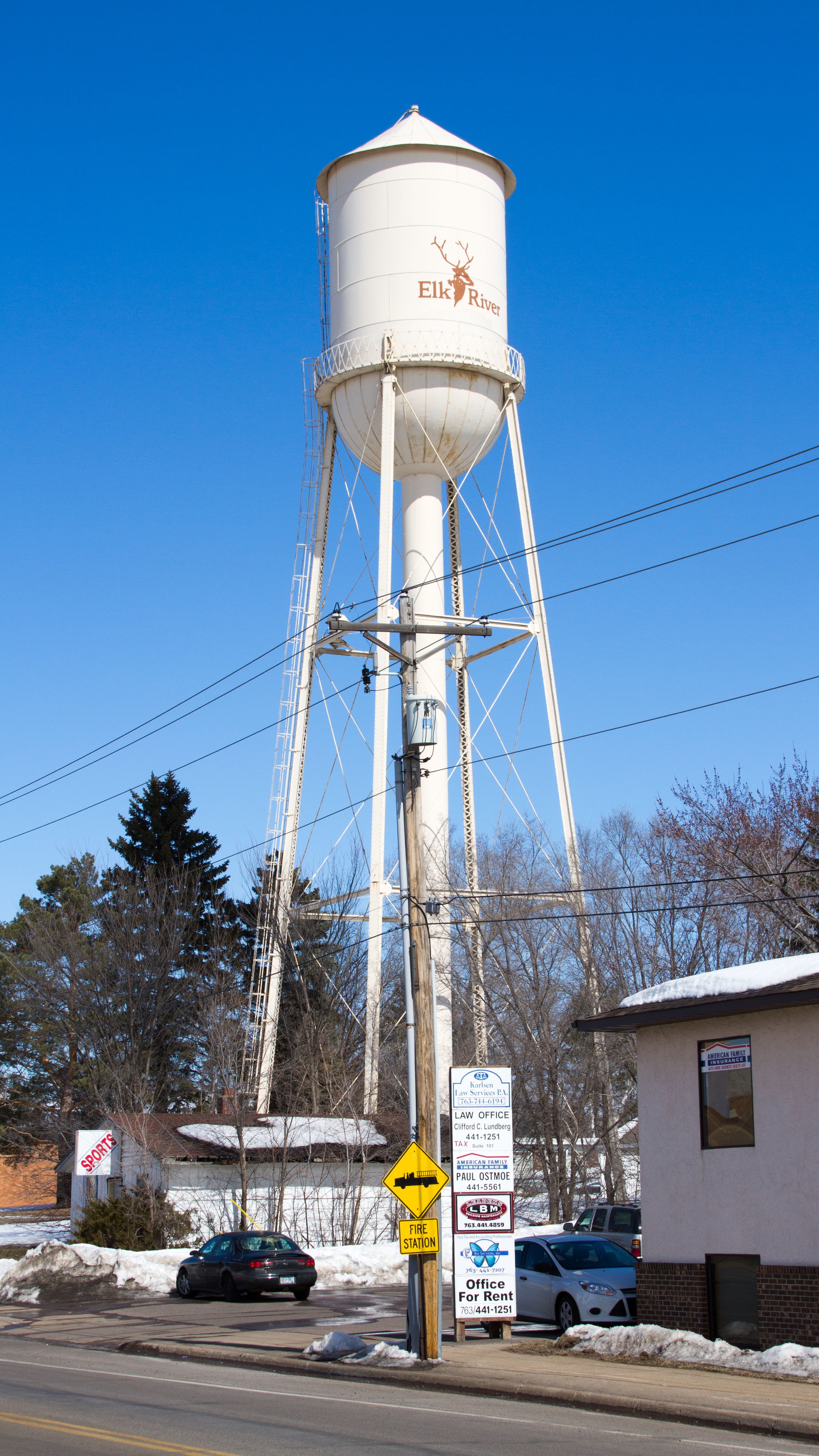
Elk River is a city in Sherburne County, Minnesota, United States, approximately 34 miles northwest of Minneapolis. It is situated at the confluence of the Mississippi and Elk Rivers. The population was 25,835 at the 2020 census, making Elk River the second largest city in the Central Minnesota region after St. Cloud. It is the county seat. U.S. Highways 10 and 169 and State Highway 101 are three of the main routes in Elk River, and a station on the Northstar Commuter Rail line to downtown Minneapolis is located in the city. Elk River is located 33.2 miles northwest of Minneapolis and 37.4 miles southeast of St. Cloud. History The hardwood-forested hills in which Elk River is situated was pushed up by the last glacier that advanced across Minnesota. These hills are made up of coarse materials which is the reason gravel mining is so prevalent in Elk River, and also the reason much of the area is not considered good farmland for culture and agriculture use. To the south ... [...More Info...] [...Related Items...] OR: [Wikipedia] [Google] [Baidu] |
Becker, Minnesota
Becker is a city in Sherburne County, Minnesota, between the Mississippi and Elk Rivers. The population was 4,877 at the 2020 census. Becker is located 46 miles northwest of Minneapolis and 19 miles southeast of St. Cloud. U.S. Highway 10 serves as a main route in Becker. History Becker was platted in 1867, and named for George Loomis Becker, a state legislator. A post office called Becker has been in operation since 1870. Geography According to the United States Census Bureau, the city has a total area of ; 9.1sq. mi is land and is water. Business Xcel Energy operates the Sherburne County Generating Station (Sherco) within the city. This plant is the largest coal-fired power plant in Minnesota. The power plant no longer pays its historical share of property taxes; therefore Becker residents pay property taxes similar to those of nearby communities. This changed in 2003. Becker Minnesota's zip code, 55308, was listed by the Minnesota Pollution Control Agency in 20 ... [...More Info...] [...Related Items...] OR: [Wikipedia] [Google] [Baidu] |
Princeton, Minnesota
Princeton is a city in Mille Lacs and Sherburne counties in the U.S. state of Minnesota, at the junction of the Rum River and its West branch. It is 50 miles north of Minneapolis and 30 miles east of St. Cloud, at the intersection of Highways 169 and 95. The population was 4,819 at the 2020 census. A majority of its residents live in Mille Lacs County. History In the winter of 1855 Samuel Ross, Jame W. Gillian, Dorilus Morrison, John S. Prince and Richard Chute platted the town of Princeton. The plat was officially recorded on April 19, 1856.''Princeton Centennial.'' #Ptown, Minn.: Princeton Centennial Committee. 1956. Lumbering Princeton's location near the junction of the Rum River and its West branch was critical to the town's development. In 1847, Daniel Stanchfield led an expedition to explore the Rum River. The group discovered vast white pine forests upstream from Princeton's future site along the Rum River, the West Branch Rum River, and their tributaries. Three sa ... [...More Info...] [...Related Items...] OR: [Wikipedia] [Google] [Baidu] |
Foley, Minnesota
Foley is a city and the county seat of Benton County, Minnesota, Benton County, Minnesota, United States. The population was 2,603 at the 2010 United States Census, 2010 census. Foley is part of the St. Cloud, Minnesota, St. Cloud St. Cloud metropolitan area, Metropolitan Statistical Area. History Foley was named for its founder, John Foley. Geography According to the United States Census Bureau, the city has an area of , all land. Minnesota State Highways Minnesota State Highway 23, 23 and Minnesota State Highway 25, 25 are two of the main routes in the city. Demographics 2010 census As of the census of 2010, there were 2,603 people, 964 households, and 631 families living in the city. The population density was . There were 1,038 housing units at an average density of . The racial makeup of the city was 97.7% White (U.S. Census), White, 0.8% African American (U.S. Census), African American, 0.3% Native American (U.S. Census), Native American, 0.1% Asian (U.S. Census), ... [...More Info...] [...Related Items...] OR: [Wikipedia] [Google] [Baidu] |
Clear Lake, Minnesota
Clear Lake is a city in Sherburne County, Minnesota, United States. The population was 641 at the 2020 census. U.S. Highway 10 and Minnesota State Highway 24 are two of the main routes in Clear Lake. Clear Lake is 13 miles southeast of St. Cloud and 24 miles northwest of Elk River. History Clear Lake was platted in 1879. Geography According to the United States Census Bureau, the city has a total area of ; is land and is water. Demographics 2010 census As of the census of 2010, there were 545 people, 205 households, and 151 families residing in the city. The population density was . There were 222 housing units at an average density of. The racial makeup of the city was 98.3% White, 0.4% Native American, 0.2% Asian, 0.2% from other races, and 0.9% from two or more races. Hispanic or Latino of any race were 0.2% of the population. There were 205 households, of which 43.9% had children under the age of 18 living with them, 59.5% were married couples living togeth ... [...More Info...] [...Related Items...] OR: [Wikipedia] [Google] [Baidu] |
Unincorporated Area
An unincorporated area is a region that is not governed by a local municipal corporation. Widespread unincorporated communities and areas are a distinguishing feature of the United States and Canada. Most other countries of the world either have no unincorporated areas at all or these are very rare: typically remote, outlying, sparsely populated or List of uninhabited regions, uninhabited areas. By country Argentina In Argentina, the provinces of Chubut Province, Chubut, Córdoba Province (Argentina), Córdoba, Entre Ríos Province, Entre Ríos, Formosa Province, Formosa, Neuquén Province, Neuquén, Río Negro Province, Río Negro, San Luis Province, San Luis, Santa Cruz Province, Argentina, Santa Cruz, Santiago del Estero Province, Santiago del Estero, Tierra del Fuego Province, Argentina, Tierra del Fuego, and Tucumán Province, Tucumán have areas that are outside any municipality or commune. Australia Unlike many other countries, Australia has only local government in Aus ... [...More Info...] [...Related Items...] OR: [Wikipedia] [Google] [Baidu] |


