|
Río Moctezuma
The Moctezuma River (Río Moctezuma) is a river in Mexico that drains the eastern side of the Trans-Mexican Volcanic Belt (Sierra Nevada). It is a tributary of the Pánuco River and flows through the Mexican states of Hidalgo (state), Hidalgo, Querétaro, and San Luis Potosí. Course The Moctezuma arises in the Zimapán Dam, this reservoir is formed by the Tula River, Tula and San Juan River (Querétaro), San Juan rivers which join in the reservoir to form the Moctezuma River later downstream of the dam. The Zimapán Dam, is a hydroelectric dam about 15 km southwest of the town of Zimapán. At Tamazunchale it receives the Amajac River. Below the town of Tanquián de Escobedo it forms the border between the states of San Luis Potosí and Veracruz. It receives the Tempoal River at El Higo, Veracruz, El Higo. It ends at its confluence with the Tamuín River (Tampaón River) where together they form the Pánuco River. See also * *List of rivers of Mexico Notes and references [...More Info...] [...Related Items...] OR: [Wikipedia] [Google] [Baidu] |
Pánuco River
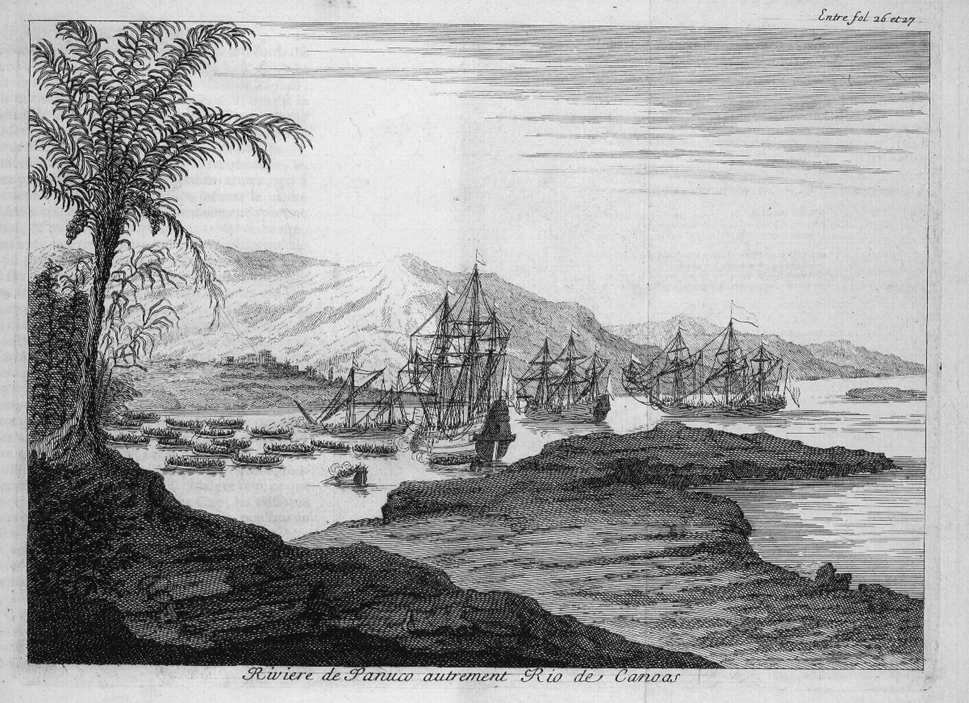
The Pánuco River (, ), also known as the ''Río de Canoas'', is a river in Mexico fed by several tributaries including the Moctezuma River and emptying into the Gulf of Mexico. The river is approximately long and passes through or borders the states of Mexico, Hidalgo, Querétaro, San Luis Potosí, Tamaulipas, and Veracruz. According to the ''Atlas of Mexico'', it is the fourth-largest river in Mexico by volume of runoff, and forms the sixth-largest river basin in Mexico by area. The Pánuco is formed by the confluence of its two main tributaries, the Moctezuma River, Moctezuma and the Tampaón (or Tamuín). The Moctezuma originates on the Mexican Plateau, and its headwater streams include the Tula River. It runs northward, forming the state border between Hidalgo and Querétaro as it moves toward San Luis Potosí, before turning eastward to carve a deep canyon through the Sierra Madre Oriental. Once emerging onto the Gulf Coastal Plain, it runs northeastwards, joined fr ... [...More Info...] [...Related Items...] OR: [Wikipedia] [Google] [Baidu] |
Tamazunchale
Tamazunchale is a town and municipality in the Mexican state of San Luis Potosí. In 2010 the area of the municipality was and the population was 96,820. The population of the town was 24,562. Etymology The name Tamazunchale (Tam-uxum-tzalle) comes from the Huastec language, and means "Place of the Government"; it was the Huastec capital around the 15th century. History The area of the state of San Luis Potosí including Tamazunchale, Jacala, Coxcatlan, Tamacuil, Xatxapala, Tacetuco and Huahuatla along the Moctezuma River was the Huastec Indian territory. In 1454, Moctezuma I, the ruler of the city of Tenochtitlan, sent his troops to dominate the Huastec nation, and won the war. The Huastec had no choice but to give in and pay tribute to the Aztec capital. In 1485, the three chiefs of the Huastec nation, Chicontepec, Temapache, and Molango, led several rebellions and were free for a time from the Aztecs. In 1487, the new ruler of Tenochtitlan, Ahuizotl sent troops to end the ... [...More Info...] [...Related Items...] OR: [Wikipedia] [Google] [Baidu] |
Rivers Of San Luis Potosí
A river is a natural stream of fresh water that flows on land or inside caves towards another body of water at a lower elevation, such as an ocean, lake, or another river. A river may run dry before reaching the end of its course if it runs out of water, or only flow during certain seasons. Rivers are regulated by the water cycle, the processes by which water moves around the Earth. Water first enters rivers through precipitation, whether from rainfall, the runoff of water down a slope, the melting of glaciers or snow, or seepage from aquifers beneath the surface of the Earth. Rivers flow in channeled watercourses and merge in confluences to form drainage basins, or catchments, areas where surface water eventually flows to a common outlet. Rivers have a great effect on the landscape around them. They may regularly overflow their banks and flood the surrounding area, spreading nutrients to the surrounding area. Sediment or alluvium carried by rivers shapes the landscape aro ... [...More Info...] [...Related Items...] OR: [Wikipedia] [Google] [Baidu] |

