|
Red Springs, Baylor County, Texas
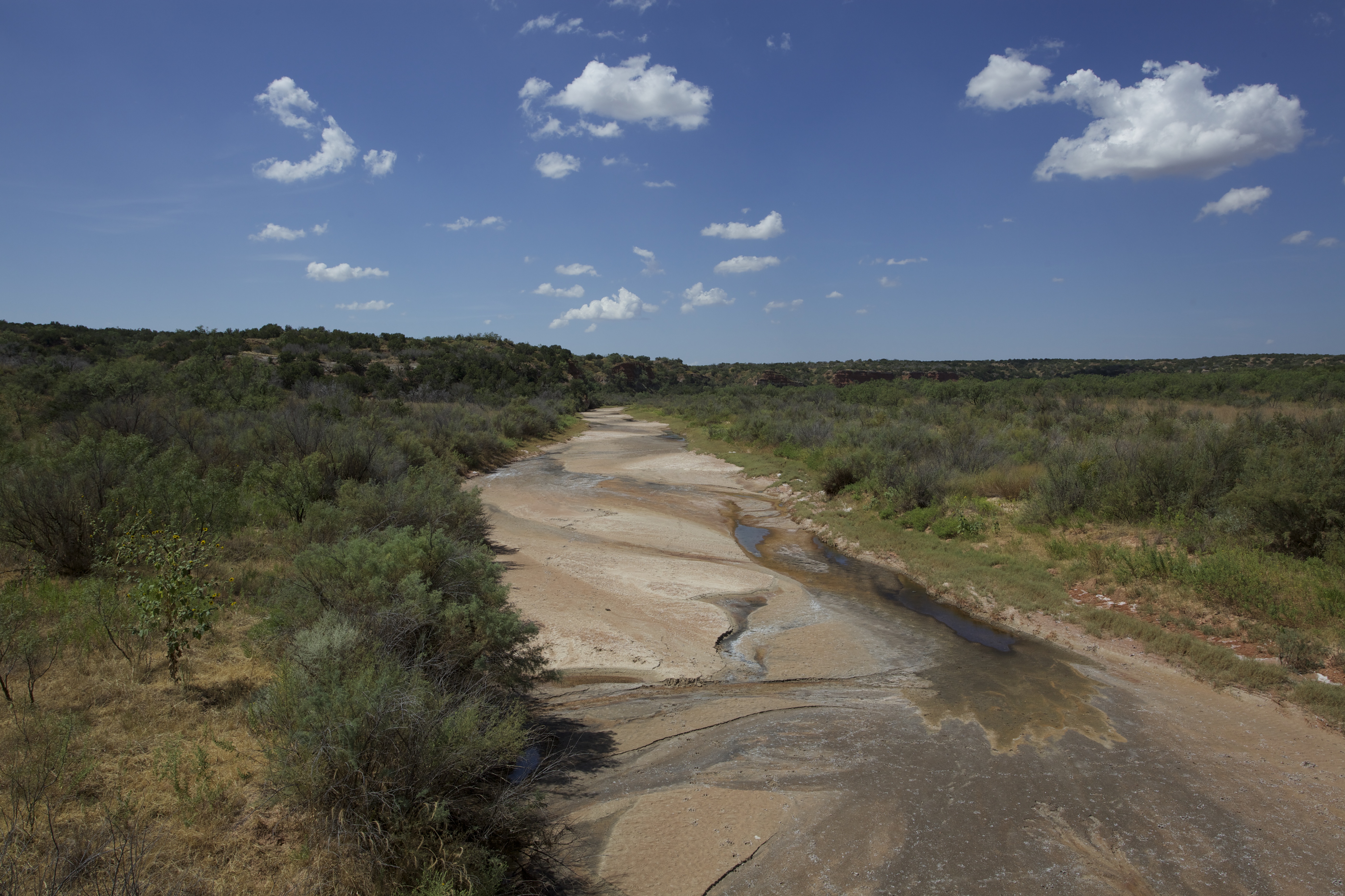
Red Springs is an unincorporated community in Baylor County, in the U.S. state of Texas. According to the Handbook of Texas, the community had a population of 42 in 2000. History Red Springs was named for the hot springs that flow from a clay bank of the Salt Fork Brazos River. Native Americans camped in the area and buffalo herds drank water at the springs before a trading post was established in the 1890s. It grew when the Fort Worth and Denver Railway was built at the start of the 20th century. There were four stores and 100 residents in 1940 and remained at that level in 1980. It shrunk to 81 in 1990 and then 42 in 2000. Geography Red Springs is located on U.S. Route 82, west of Seymour in west-central Baylor County. Education Red Springs had its own school in 1940. Today, the community is served by the Seymour Independent School District Seymour Independent School District is a public school district based in Seymour, Texas. Located in Baylor County, a small por ... [...More Info...] [...Related Items...] OR: [Wikipedia] [Google] [Baidu] |
Unincorporated Area
An unincorporated area is a parcel of land that is not governed by a local general-purpose municipal corporation. (At p. 178.) They may be governed or serviced by an encompassing unit (such as a county) or another branch of the state (such as the military). There are many unincorporated communities and areas in the United States and Canada, but many countries do not use the concept of an unincorporated area. By country Argentina In Argentina, the provinces of Chubut Province, Chubut, Córdoba Province (Argentina), Córdoba, Entre Ríos Province, Entre Ríos, Formosa Province, Formosa, Neuquén Province, Neuquén, Río Negro Province, Río Negro, San Luis Province, San Luis, Santa Cruz Province, Argentina, Santa Cruz, Santiago del Estero Province, Santiago del Estero, Tierra del Fuego Province, Argentina, Tierra del Fuego, and Tucumán Province, Tucumán have areas that are outside any municipality or commune. Australia Unlike many other countries, Australia has only local go ... [...More Info...] [...Related Items...] OR: [Wikipedia] [Google] [Baidu] |
Clay
Clay is a type of fine-grained natural soil material containing clay minerals (hydrous aluminium phyllosilicates, e.g. kaolinite, ). Most pure clay minerals are white or light-coloured, but natural clays show a variety of colours from impurities, such as a reddish or brownish colour from small amounts of iron oxide. Clays develop plasticity (physics), plasticity when wet but can be hardened through Pottery#Firing, firing. Clay is the longest-known ceramic material. Prehistoric humans discovered the useful properties of clay and used it for making pottery. Some of the earliest pottery shards have been radiocarbon dating, dated to around 14,000 BCE, and Clay tablet, clay tablets were the first known writing medium. Clay is used in many modern industrial processes, such as paper making, cement production, and chemical filtration, filtering. Between one-half and two-thirds of the world's population live or work in buildings made with clay, often baked into brick, as an essenti ... [...More Info...] [...Related Items...] OR: [Wikipedia] [Google] [Baidu] |
Seymour Independent School District .
Seymour Independent School District is a public school district based in Seymour, Texas. Located in Baylor County, a small portion of the district extends into Knox County. In 2009, the school district was rated " academically acceptable" by the Texas Education Agency The Texas Education Agency (TEA) is the branch of the government of Texas responsible for public education in Texas in the United States. Schools In the 2012–2013 school year, the district had students in three schools. * Seymour High School (Grades 9–12) *Seymour Middle School (Grades 5–8) *Seymour Elementary School (Grades[...More Info...] [...Related Items...] OR: [Wikipedia] [Google] [Baidu] |
Seymour, Texas
Seymour is a city in and the county seat of Baylor County, Texas, United States. Its population was 2,575 as of the 2020 Census. Geography Seymour is located on the Brazos River. It is southwest of Wichita Falls and north-northeast of Abilene. According to the United States Census Bureau, the city has a total area of , of which , or 0.20%, is covered by water. Climate The climate is humid subtropical (Köppen: ''Cfa'') with an extreme temperature deviation, but much of the time, the variation is always more and the warm weather prevails over the cold as the averages and the records show. Its subtropical location and south of the center of a large land mass bring occasional outbreaks even to a latitude and not very high altitude. The climate in this area is characterized by hot, humid summers and generally mild to cool winters, sometimes cold. On August 12, 1936, Seymour witnessed the record highest temperature in Texas (120 °F) (49 °C), a record that was tied by ... [...More Info...] [...Related Items...] OR: [Wikipedia] [Google] [Baidu] |
Fort Worth And Denver Railway
The Fort Worth and Denver Railway , nicknamed "the Denver Road," was a Class I railroad, class I Rail transport in the United States, American railroad company that operated in the northern part of Texas from 1881 to 1982, and had a profound influence on the early settlement and economic development of the region. The Fort Worth and Denver City Railway Company (FW&DC) was chartered by the Texas Legislature on May 26, 1873. On August 7, 1951, the company changed its name to the Fort Worth and Denver Railway Company (FW&D). The Main line (railway), main line of the railroad ran from Fort Worth, Texas, Fort Worth through Wichita Falls, Texas, Wichita Falls, Childress, Texas, Childress, Amarillo, Texas, Amarillo, and Dalhart, Texas, Dalhart, to Texline, Texas, Texline, where it connected with the rails of parent company Colorado and Southern Railway, both of which became subsidiaries of the Burlington Route in 1908. At the end of 1970, FW&D operated of road on of track; that year ... [...More Info...] [...Related Items...] OR: [Wikipedia] [Google] [Baidu] |
Trading Post
A trading post, trading station, or trading house, also known as a factory in European and colonial contexts, is an establishment or settlement where goods and services could be traded. Typically a trading post allows people from one geographic area to exchange for goods produced in another area. Usually money is not used. The barter that occurs often includes an aspect of haggling. In some examples, local inhabitants can use a trading post to exchange what they have (such as locally-harvested furs) for goods they wish to acquire (such as manufactured trade goods imported from industrialized places). Given bulk transportation costs, exchanges made at a trading post for long-distance distribution can involve items which either party or both parties regard as luxury goods. A trading post can consist either of a single building or of an entire town. Trading posts have been established in a range of areas, including relatively remote ones, but most often near an ocean, a ri ... [...More Info...] [...Related Items...] OR: [Wikipedia] [Google] [Baidu] |
American Bison
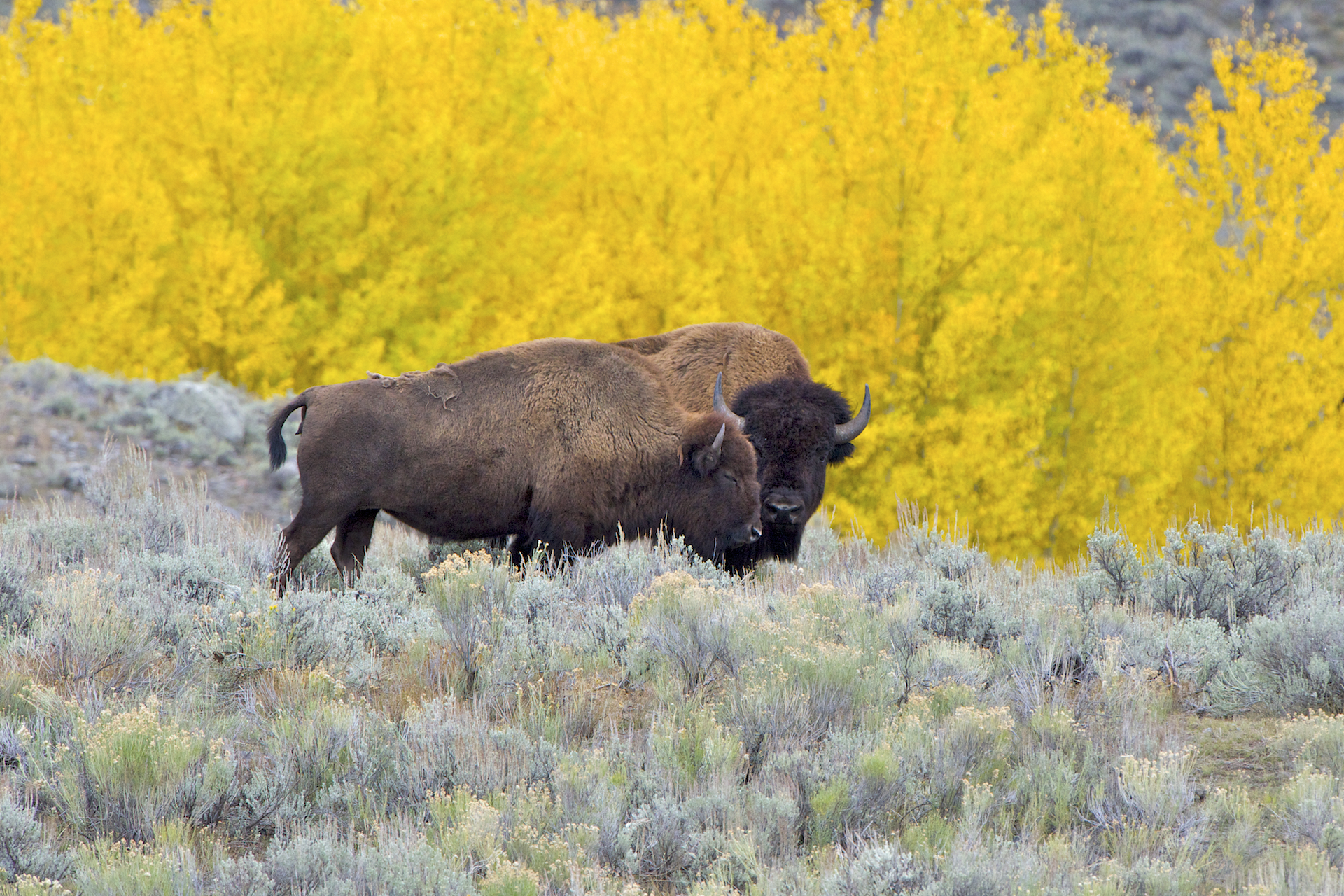
The American bison (''Bison bison''; : ''bison''), commonly known as the American buffalo, or simply buffalo (not to be confused with Bubalina, true buffalo), is a species of bison that is endemic species, endemic (or native) to North America. It is one of two extant species of bison, along with the European bison. Its habitat, historical range ''circa'' 9000 BC is referred to as the great bison belt, a tract of rich grassland spanning from Alaska south to the Gulf of Mexico, and east to the Atlantic Seaboard (nearly to the Atlantic tidewater (geographic term), tidewater in some areas), as far north as New York (state), New York, south to Georgia (U.S. state), Georgia, and according to some sources, further south to northern Florida, with sightings in North Carolina near Buffalo Ford on the Catawba River as late as 1750. Two subspecies or ecotypes have been described: the plains bison (''B. b. bison''), smaller and with a more rounded hump; and the wood bison (''B. b. athabascae ... [...More Info...] [...Related Items...] OR: [Wikipedia] [Google] [Baidu] |
Native Americans In The United States
Native Americans (also called American Indians, First Americans, or Indigenous Americans) are the Indigenous peoples of the Americas, Indigenous peoples of the United States, particularly of the Contiguous United States, lower 48 states and Alaska. They may also include any Americans whose origins lie in any of the indigenous peoples of North or South America. The United States Census Bureau publishes data about "American Indians and Alaska Natives", whom it defines as anyone "having origins in any of the original peoples of North and South America ... and who maintains tribal affiliation or community attachment". The census does not, however, enumerate "Native Americans" as such, noting that the latter term can encompass a broader set of groups, e.g. Native Hawaiians, which it tabulates separately. The European colonization of the Americas from 1492 resulted in a Population history of Indigenous peoples of the Americas, precipitous decline in the size of the Native American ... [...More Info...] [...Related Items...] OR: [Wikipedia] [Google] [Baidu] |
Salt Fork Brazos River
The Salt Fork Brazos River is a braided, highly intermittent stream about long, heading along the edge of the Llano Estacado about east-southeast of Lubbock, Texas. From its source, it flows generally east-southeastward to join the Double Mountain Fork Brazos River, Double Mountain Fork to form the Brazos River about west-northwest of Haskell, Texas.United States Board on Geographical Names. 1964. Decisions on Geographical Names in the United States, Decision list no. 6402, United States Department of the Interior, Washington DC, p. 53. The Salt Fork stretches across portions of Crosby County, Texas, Crosby, Garza County, Texas, Garza, Kent County, Texas, Kent, and Stonewall County, Texas, Stonewall counties of West Texas. Geography The Salt Fork Brazos River begins as a dry channel (draw) near the edge of the Llano Estacado in Crosby County, about southwest of the cotton gin in the small farming community of Cap Rock, Texas. From the edge of the Caprock Escarpment, the stre ... [...More Info...] [...Related Items...] OR: [Wikipedia] [Google] [Baidu] |
Hot Spring
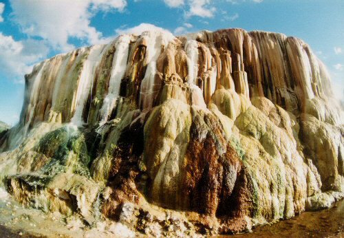
A hot spring, hydrothermal spring, or geothermal spring is a Spring (hydrology), spring produced by the emergence of Geothermal activity, geothermally heated groundwater onto the surface of the Earth. The groundwater is heated either by shallow bodies of magma (molten rock) or by circulation through fault (geology), faults to hot rock deep in the Earth's crust. Hot spring water often contains large amounts of dissolved minerals. The chemistry of hot springs ranges from acid sulfate springs with a pH as low as 0.8, to alkaline chloride springs saturated with silica, to bicarbonate springs saturated with carbon dioxide and carbonate minerals. Some springs also contain abundant dissolved iron. The minerals brought to the surface in hot springs often feed communities of extremophiles, microorganisms adapted to extreme conditions, and it is possible that life on Earth had its origin in hot springs. Humans have made use of hot springs for bathing, relaxation, or medical therapy for th ... [...More Info...] [...Related Items...] OR: [Wikipedia] [Google] [Baidu] |
List Of Sovereign States
The following is a list providing an overview of sovereign states around the world with information on their status and recognition of their sovereignty. The 205 listed states can be divided into three categories based on membership within the United Nations System: 193 member states of the United Nations, UN member states, two United Nations General Assembly observers#Current non-member observers, UN General Assembly non-member observer states, and ten other states. The ''sovereignty dispute'' column indicates states having undisputed sovereignty (188 states, of which there are 187 UN member states and one UN General Assembly non-member observer state), states having disputed sovereignty (15 states, of which there are six UN member states, one UN General Assembly non-member observer state, and eight de facto states), and states having a political status of the Cook Islands and Niue, special political status (two states, both in associated state, free association with New ... [...More Info...] [...Related Items...] OR: [Wikipedia] [Google] [Baidu] |
Handbook Of Texas
The Texas State Historical Association (TSHA) is an American nonprofit educational and research organization dedicated to documenting the history of Texas. It was founded in Austin, Texas, United States, on March 2, 1897. In November 2008, the TSHA moved its offices from Austin to the University of North Texas in Denton, Texas. In 2015, the offices were relocated again to the University of Texas at Austin. History On February 13, 1897, ten persons convened to discuss the creation of a nonprofit to promote Texas state history. George Pierce Garrison, chair of the University of Texas history department, led the organizational meeting establishing the association on March 2, 1893. The TSHA elected Oran Milo Roberts as its first president. In addition to Roberts, TSHA charter members included Guy M. Bryan, Anna Pennybacker, Bride Neill Taylor, and Dudley G. Wooten. About twenty or thirty persons attended the charter meeting. One of the founders was John Henninger Reagan. ... [...More Info...] [...Related Items...] OR: [Wikipedia] [Google] [Baidu] |


