|
Red River Flood, 1997
The Red River flood of 1997 was a major flood that occurred in April and May 1997 along the Red River of the North in Minnesota, North Dakota, and southern Manitoba. It was the most severe flood of the river since 1826. The flood reached throughout the Red River Valley, affecting the cities of Fargo and Winnipeg, but none so greatly as Grand Forks and East Grand Forks, where floodwaters reached more than inland. They inundated virtually everything in the twin communities. Total damages for the Red River region were US$3.5 billion. The flood was the result of abundant snowfall and extreme temperatures. In Grand Forks, thousands of people, including Air Force personnel from Grand Forks Air Force Base, tried to prepare for the 1997 flood by building sandbag dikes. These dikes were constructed based on a 49-foot estimate of flooding set by the National Weather Service. The river crested at 54 feet in Grand Forks. Grand Forks mayor Pat Owens had to order the evacuation of more t ... [...More Info...] [...Related Items...] OR: [Wikipedia] [Google] [Baidu] |
Greater Grand Forks
The Greater Grand Forks (officially the Grand Forks, ND-MN Metropolitan statistical area), as defined by the Census Bureau as comprising all of Grand Forks County in North Dakota and Polk County in Minnesota, anchored by the twin cities of Grand Forks, North Dakota and East Grand Forks, Minnesota. As of the 2020 census, the population was 104,362 and was estimated to be 104,184 in 2024. The metropolitan area is also sometimes called The Forks. Several years ago, local promoters attempted to "brand" the metropolitan area as The Grand Cities. This name has not found widespread use in the area, although several buildings and organizations now bear the "Grand Cities" title. Occasionally, the city of Grand Forks uses the nickname "The Sunflake City." Counties * Grand Forks (73,771) * Polk (30,413) Communities Incorporated Places * Grand Forks, ND (59,845) * East Grand Forks, MN (8,915) * Crookston, MN (7,269) * Fosston, MN (1,377) * Larimore, ND (1,239) * Thompson, ND ... [...More Info...] [...Related Items...] OR: [Wikipedia] [Google] [Baidu] |
Federal Emergency Management Agency
The Federal Emergency Management Agency (FEMA) is an agency of the United States Department of Homeland Security (DHS), initially created under President Jimmy Carter by Presidential Reorganization Plan No. 3 of 1978 and implemented by two Executive order (United States), Executive Orders on April 1, 1979. The agency's primary purpose is to coordinate the response to a disaster that has occurred in the United States and that overwhelms the resources of local and U.S. state, state authorities. The governor of the state in which the disaster occurs must declare a state of emergency and formally request from the President of the United States, president that FEMA and the Federal government of the United States, federal government respond to the disaster. The only exception to the state's gubernatorial declaration requirement occurs when an emergency or disaster takes place on federal property or to a federal asset—for example, the 1995 Oklahoma City bombing, bombing of the Alfred ... [...More Info...] [...Related Items...] OR: [Wikipedia] [Google] [Baidu] |
American Civil War
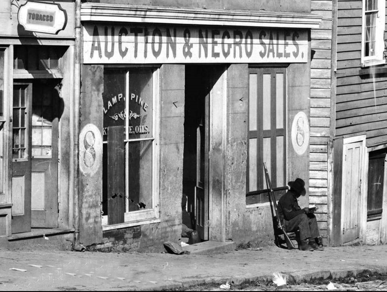
The American Civil War (April 12, 1861May 26, 1865; also known by Names of the American Civil War, other names) was a civil war in the United States between the Union (American Civil War), Union ("the North") and the Confederate States of America, Confederacy ("the South"), which was formed in 1861 by U.S. state, states that had Secession in the United States, seceded from the Union. The Origins of the American Civil War, central conflict leading to war was a dispute over whether Slavery in the United States, slavery should be permitted to expand into the western territories, leading to more slave states, or be prohibited from doing so, which many believed would place slavery on a course of ultimate extinction. Timeline of events leading to the American Civil War, Decades of controversy over slavery came to a head when Abraham Lincoln, who opposed slavery's expansion, won the 1860 presidential election. Seven Southern slave states responded to Lincoln's victory by seceding f ... [...More Info...] [...Related Items...] OR: [Wikipedia] [Google] [Baidu] |
Atlanta
Atlanta ( ) is the List of capitals in the United States, capital and List of municipalities in Georgia (U.S. state), most populous city in the U.S. state of Georgia (U.S. state), Georgia. It is the county seat, seat of Fulton County, Georgia, Fulton County and extends into neighboring DeKalb County, Georgia, DeKalb County. With a population of 520,070 (2024 estimate) living within the city limits, Atlanta is the eighth most populous city in the Southeastern United States, Southeast and List of United States cities by population, 36th most populous city in the United States according to the 2020 United States census, 2020 U.S. census. Atlanta is classified as a Globalization and World Cities Research Network#Beta +, Beta + global city and is the principal city of the much larger Atlanta metropolitan area, the core of which includes Cobb County, Georgia, Cobb, Clayton County, Georgia, Clayton and Gwinnett County, Georgia, Gwinnett counties, in addition to Fulton and DeKalb. ... [...More Info...] [...Related Items...] OR: [Wikipedia] [Google] [Baidu] |
Breckenridge, Minnesota
Breckenridge is a city and county seat of Wilkin County, Minnesota, United States. The population was 3,430 at the 2020 census. Breckenridge's twin city is Wahpeton, North Dakota. It is part of the Wahpeton, ND—MN Micropolitan Statistical Area. The Bois de Sioux River and the Otter Tail River join at Breckenridge and Wahpeton to form the Red River of the North. History Breckenridge was platted in 1857, and named for John Cabell Breckinridge, a U.S. senator from Kentucky and the 14th Vice President of the United States. Breckenridge was also staunchly pro-slavery and was a Major General in the Confederate Army. A post office has been in operation at Breckenridge since 1857. Breckenridge was incorporated in 1908. The city contains one property listed on the National Register of Historic Places, the 1928 Wilkin County Courthouse. Geography According to the United States Census Bureau, the city has a total area of , all land. U.S. Route 75 and Minnesota State Highways ... [...More Info...] [...Related Items...] OR: [Wikipedia] [Google] [Baidu] |
Wahpeton, North Dakota
Wahpeton ( ) is a city in Richland County, in southeast North Dakota along the Bois de Sioux River at its confluence with the Otter Tail River, which forms the Red River of the North. Wahpeton is the county seat of Richland County. The population was 8,007 at the 2020 census. Wahpeton was founded in 1869 and is the principal city of the Wahpeton Micropolitan Statistical Area, which includes all of Richland County, North Dakota and Wilkin County, Minnesota. Wahpeton's twin city is Breckenridge, Minnesota, on the other side of the river. The Bois de Sioux River and the Otter Tail River join at Wahpeton and Breckenridge to form the Red River of the North. The North Dakota State College of Science is in Wahpeton. The local newspaper is the '' Wahpeton Daily News''. History The first European explorer in the area was Jonathan Carver in 1767. He explored and mapped the Northwest at the request of Major Robert Rogers, commander of Fort Michilimackinac. This British fort ... [...More Info...] [...Related Items...] OR: [Wikipedia] [Google] [Baidu] |
Moorhead, Minnesota
Moorhead ( ) is a city in and the county seat of Clay County, Minnesota, Clay County, Minnesota, United States, on the banks of the Red River of the North. Located in the Red River Valley, an extremely fertile and active agricultural region, Moorhead is home to several corporations and manufacturing industries. Across the river from Fargo, North Dakota, Moorhead forms part of the core of the Fargo–Moorhead, Fargo–Moorhead ND-MN Metropolitan Area. The population was 44,505 at the 2020 United States census, 2020 census. Moorhead is a hub of higher education in Minnesota, home to Minnesota State University Moorhead, Concordia College (Moorhead, Minnesota), Concordia College, and a campus of Minnesota State Community and Technical College. Platted in 1871, the city was named for William Galloway Moorhead, an official of the Northern Pacific Railway. History The city was platted in 1871 and named for William Galloway Moorhead, a Northern Pacific Railway official and brother-in-la ... [...More Info...] [...Related Items...] OR: [Wikipedia] [Google] [Baidu] |
1950 Red River Flood
The 1950 Red River flood was a devastating flood that took place along the Red River of the North, Red River in The Dakotas and Manitoba from April 15 to June 12, 1950. Damage was particularly severe in the city of Winnipeg and its environs, which were inundated on May 5, also known as Black Friday to some residents. An estimated 70,000–100,000 residents had to be evacuated, and four of eleven bridges were destroyed. In that year, the Red River reached its highest level since 1861 and flooded most of the Red River Valley, more than . One man died, and property losses due to the flood were estimated at more than $600 million to one billion. To prevent and reduce future damage, the government constructed the Red River Floodway, which was completed in 1968. It has been estimated to have prevented more than $100 billion (CAD) in cumulative flood damage. Winnipeg Although seasonal flooding was common, this flood surpassed the others. The north-flowing Red River was fed by flow ... [...More Info...] [...Related Items...] OR: [Wikipedia] [Google] [Baidu] |
Red River Floodway
The Red River Floodway () is an artificial flood control waterway in Western Canada. It is a long channel which, during flood periods, takes part of the Red River's flow around the city of Winnipeg, Manitoba to the east and discharges it back into the Red River below the dam at Lockport. It can carry floodwater at a rate of up to , expanded in the 2000s from its original channel capacity of . The Floodway was pejoratively nicknamed Duff's Ditch by opponents of its construction, after Premier Duff Roblin, whose Progressive Conservative government initiated the project, partly in response to the disastrous 1950 Red River flood. It was completed in time and under budget. Subsequent events have vindicated the plan, leading to the nickname becoming an affectionate one. Since its completion in 1968, the Floodway is estimated to have prevented over $40 billion in cumulative flood damage. It was designated a National Historic Site of Canada in 2000, as the floodway is an outsta ... [...More Info...] [...Related Items...] OR: [Wikipedia] [Google] [Baidu] |
Canadian Dollar
The Canadian dollar (currency symbol, symbol: $; ISO 4217, code: CAD; ) is the currency of Canada. It is abbreviated with the dollar sign $. There is no standard disambiguating form, but the abbreviations Can$, CA$ and C$ are frequently used for distinction from other dollar-denominated currencies (though C$ remains ambiguous with the Nicaraguan córdoba). It is divided into 100 cent (currency), cents (¢). Owing to the image of a common loon on its reverse, the dollar coin, and sometimes the unit of currency itself, may be metonymy, referred to as the ''loonie'' by English-speaking Canadians and foreign exchange traders and analysts. Accounting for approximately two per cent of all global reserves, the Canadian dollar is the fifth-most held reserve currency in the world, behind the United States dollar, US dollar, euro, Japanese yen, yen, and pound sterling, sterling. The Canadian dollar is popular with central banks because of Canada's relative economic soundness, the ... [...More Info...] [...Related Items...] OR: [Wikipedia] [Google] [Baidu] |


