|
Prestwich
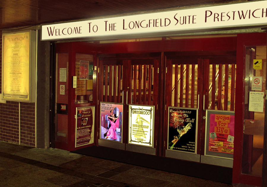
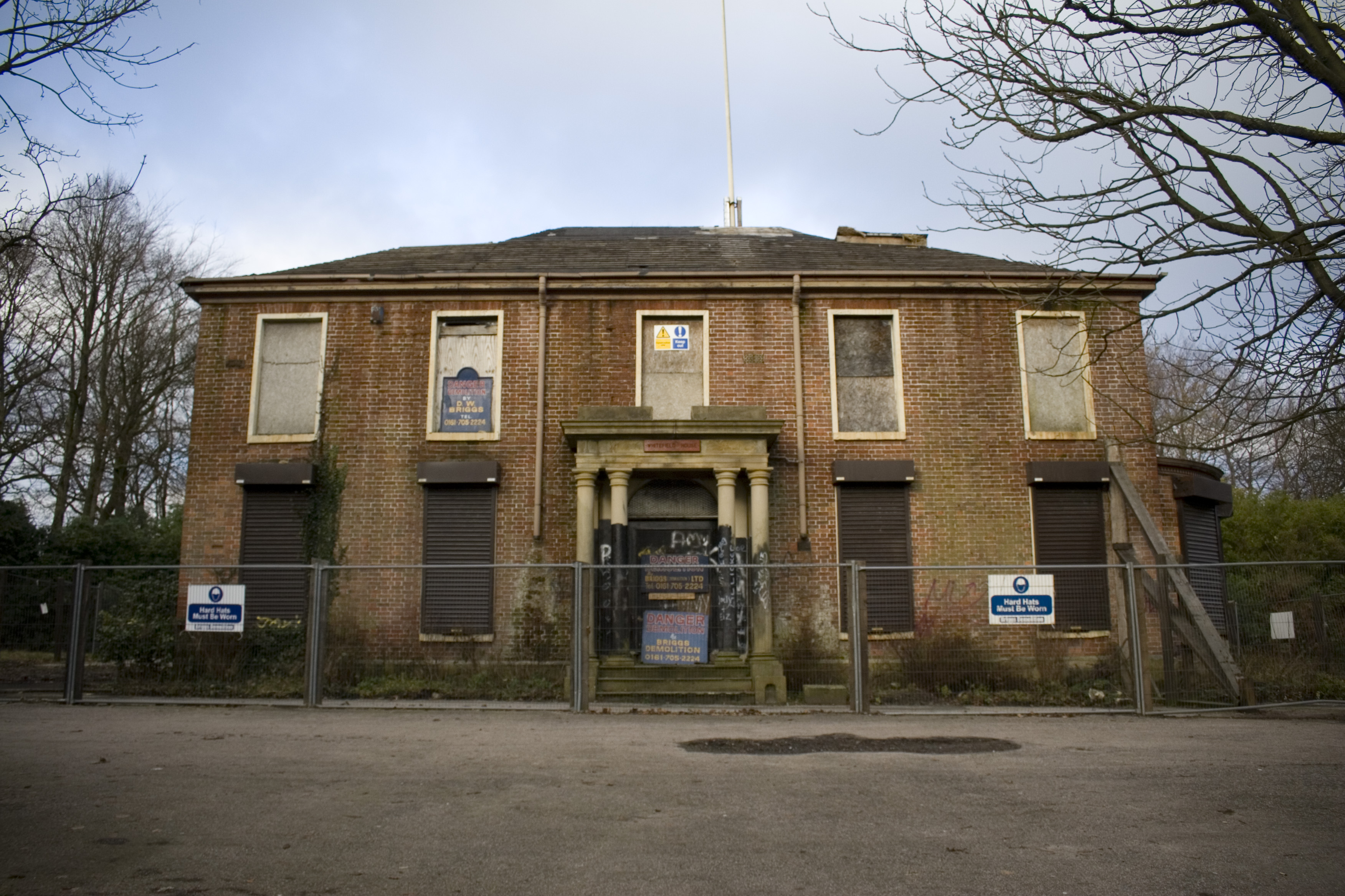
Prestwich ( ) is a town in the Metropolitan Borough of Bury, Greater Manchester, England, north of Manchester, north of Salford and south of Bury. Within the boundaries of the historic county of Lancashire, Prestwich was the seat of the ancient parish of Prestwich-cum-Oldham, centred around the Grade I listed Church of St Mary the Virgin. In recent times, it has grown in popularity as a commuter town of Manchester, being consistently named one of the best places to live in the UK by ''The Sunday Times'', and has been nicknamed the 'new Didsbury' in comparison with the affluent suburb in the south of the city. The oldest part of Prestwich, around Bury New Road, is known as Prestwich Village. There is a large Jewish community in Prestwich which, together with neighbouring Whitefield, Broughton and Crumpsall, makes up the second largest Jewish community in the UK outside London. Toponymy Prestwich is possibly of Old English origin, derived from ''preost'' and ''wic' ... [...More Info...] [...Related Items...] OR: [Wikipedia] [Google] [Baidu] |
Prestwich-cum-Oldham
Prestwich-cum-Oldham (also known as Prestwich with Oldham) was an ancient ecclesiastical parish of the hundred of Salford, within the historic county boundaries of Lancashire, England. With the Parish Church of St Mary the Virgin, Prestwich as its centre, this parish encompassed a total of ten townships, and within them, several smaller chapelries. Prestwich-cum-Oldham was divided into two non-contiguous sections: the townships of Great Heaton, Little Heaton, Pilkington, and Prestwich on the west; Alkrington, Tonge, Chadderton, Crompton, Oldham and Royton on the east. The parish of Middleton divided these two portions of Prestwich-cum-Oldham from north to south. The parish covered and was noted in 1851 to have a population of 94,470, and again in 1861, to have 117,987. [...More Info...] [...Related Items...] OR: [Wikipedia] [Google] [Baidu] |
Church Of St Mary The Virgin, Prestwich
The Church of St Mary the Virgin is on Church Lane, Prestwich, Greater Manchester, England. It is an active Anglican parish church in the deanery of Radcliffe and Prestwich, the archdeaconry of Bolton and the diocese of Manchester. The church is recorded in the National Heritage List for England as a designated Grade I listed building. Pevsner refers to it as "a major church". History Prestwich is not mentioned in the Domesday Book, but there is evidence of a church on the site since at least 1200. The tower was built in about 1500 by the 1st Earl of Derby, and the body of the church was rebuilt during the early part of the 16th century. In 1756 the south porch was rebuilt and the walls of the aisles were raised. The east vestry was rebuilt in 1803 and in 1860 the chancel was extended. In 1872 a new chapel, the Birch Chapel, was added to the south of the chancel and to the east of the existing south (Lever) chapel; the Lever Chapel was rebuilt two years later. In 18 ... [...More Info...] [...Related Items...] OR: [Wikipedia] [Google] [Baidu] |
Metropolitan Borough Of Bury
The Metropolitan Borough of Bury is a metropolitan borough of Greater Manchester in England. It is north of Manchester, to the east of Bolton and west of Rochdale. The borough is centred around the town of Bury, Greater Manchester, Bury but also includes the other towns of Ramsbottom, Tottington, Greater Manchester, Tottington, Radcliffe, Greater Manchester, Radcliffe, Whitefield, Greater Manchester, Whitefield and Prestwich. Bury bounds the Lancashire districts of Borough of Rossendale, Rossendale and Blackburn with Darwen to the north. With a population of in , it is the smallest borough in Greater Manchester. Within the boundaries of the Historic counties of England, historic county of Lancashire, the Metropolitan Borough of Bury, which covers , was created on 1 April 1974, with the transfer of functions from the County Borough of Bury and the boroughs of Prestwich and Radcliffe, along with the urban districts of Tottington and Whitefield, and part of the urban district of Ra ... [...More Info...] [...Related Items...] OR: [Wikipedia] [Google] [Baidu] |
Prestwich Clough
Prestwich Clough (referred to locally as "The Clough") is a 24.12 acre Site of Biological Importance situated in Prestwich in Bury, Greater Manchester, in England. It is bounded by Church Lane to the north, Bury New Road to the east, St. Ann's Road to the south and Buckley Lane to the west. It is administered by Bury Metropolitan Borough Council and is part of Prestwich Forest Park, which also incorporates Drinkwater Park, Philips Park, Mere Clough, Forest Bank Park in Pendlebury and Waterdale Meadow. History The Clough, opened as a park in 1906, after nine acres were donated to Prestwich Urban District Council by William Gardner and a further 13 acres purchased for £2,000. In 1981, the area was designated as a Site of Biological Importance. The Clough was once home to a bandstand, tea rooms and a bleach and dye works, however they are all no longer present. Prestwich Clough Day In 2006, an event was held in the St Mary's Flower Park area of the Clough to celebrate 100 y ... [...More Info...] [...Related Items...] OR: [Wikipedia] [Google] [Baidu] |
Whitefield, Greater Manchester
Whitefield is a town in the Metropolitan Borough of Bury, Greater Manchester, England. It lies on undulating ground above the Irwell Valley, along the south bank of the River Irwell, southeast of Bury, and northwest of Manchester. Prestwich and the M60 motorway lie just to the south. In 2001 it had a population of 23,283. Historically part of Lancashire, Whitefield was on the path of an ancient Roman road leading from ''Mamucium'' (Manchester) in the south to ''Bremetennacum'' (Ribchester) in the north. Throughout the Middle Ages, Whitefield was a division of the township of Pilkington, itself a part of the parish of Prestwich-cum-Oldham and hundred of Salford. Pilkington and Whitefield have historic associations with the Earls of Derby. Farming was the main industry of this rural area, with locals supplementing their incomes by hand-loom woollen weaving in the domestic system. The urbanisation and development of Whitefield largely coincided with the Industrial Revo ... [...More Info...] [...Related Items...] OR: [Wikipedia] [Google] [Baidu] |
Bury South (UK Parliament Constituency)
Bury South is a borough constituency represented in the House of Commons of the United Kingdom, House of Commons of the Parliament of the United Kingdom since 2019 by Christian Wakeford. Wakeford was elected as a Conservative Party (UK), Conservative but Crossing the floor, defected to the Labour Party (UK), Labour Party in January 2022. He was re-elected at the 2024 general election. Boundaries The constituency was created in 1983 from parts of the former seats of Middleton and Prestwich (UK Parliament constituency), Middleton and Prestwich & Bury and Radcliffe (UK Parliament constituency), Bury and Radcliffe, both of which were Labour-Conservative marginals, held by Labour on slim majorities at the 1979 election. It covers the suburban towns of Radcliffe, Greater Manchester, Radcliffe, Whitefield, Greater Manchester, Whitefield and Prestwich. The constituency does not contain any area of the town of Bury, Greater Manchester, Bury itself (which is in Bury North), but only towns i ... [...More Info...] [...Related Items...] OR: [Wikipedia] [Google] [Baidu] |
Greater Manchester
Greater Manchester is a ceremonial county in North West England. It borders Lancashire to the north, Derbyshire and West Yorkshire to the east, Cheshire to the south, and Merseyside to the west. Its largest settlement is the city of Manchester. The county has an area of and is highly urbanised, with a population of 2.9 million. The majority of the county's settlements are part of the Greater Manchester Built-up Area, which extends into Cheshire and Merseyside and is the List of urban areas in the United Kingdom, second most populous urban area in the UK. The city of Manchester is the largest settlement. Other large settlements are Altrincham, Bolton, Rochdale, Sale, Greater Manchester, Sale, Salford, Stockport and Wigan. Greater Manchester contains ten metropolitan boroughs: Manchester, City of Salford, Salford, Metropolitan Borough of Bolton, Bolton, Metropolitan Borough of Bury, Bury, Metropolitan Borough of Oldham, Oldham, Metropolitan Borough of Rochdale, Rochdale, Metropol ... [...More Info...] [...Related Items...] OR: [Wikipedia] [Google] [Baidu] |
Bury, Greater Manchester
Bury (, ) is a market town on the River Irwell in the Metropolitan Borough of Bury, Greater Manchester, England. which had a population of 81,101 in 2021 while the wider borough had a population of 193,846. The town was originally part of the county of Lancashire but has been in the metropolitan county of Greater Manchester since 1974. Bury emerged in the Industrial Revolution as a mill town manufacturing textile manufacture during the Industrial Revolution, textiles. The town is known for the open-air Bury Market and black pudding, the traditional local dish. Sir Robert Peel was born in the town. Peel was a Prime Minister of the United Kingdom who founded the Metropolitan Police and the Conservative Party (UK), Conservative Party. A Peel Memorial, Bury, memorial and Peel Monument, monument for Peel, the former stands outside Bury Parish church and the latter overlooks the borough on Ramsbottom, Holcombe Hill. The town is east of Bolton, south-west of Rochdale and north-wes ... [...More Info...] [...Related Items...] OR: [Wikipedia] [Google] [Baidu] |
Crumpsall
Crumpsall is an outer suburb and Wards of the United Kingdom, electoral ward of Manchester, in Greater Manchester, England, north of Manchester city centre, bordered by Cheetham Hill, Blackley, Harpurhey, Broughton, Greater Manchester, Broughton, and Prestwich. The population at the United Kingdom Census 2011, 2011 census was 15,959. Historic counties of England, Historically part of Lancashire, Crumpsall was a township within the parish of Manchester (ancient parish), Manchester, Salford (hundred), Salford hundred. North Manchester General Hospital is in Crumpsall. History The name Crumpsall derives from old English and means a "crooked piece of land beside a river". Retrieved on 08 September 2009 It is first mentioned in 1291. In 1472, Crumpsall was held in socage by James Radcliffe subject to an annual rent of ten shillings. It later passed to the family of Edward Coke who held it until 1789 when it was divided. One part was sold to Thomas Egerton, 1st Earl of Wilton and ano ... [...More Info...] [...Related Items...] OR: [Wikipedia] [Google] [Baidu] |
Grade I Listed Buildings In Greater Manchester
There are 48 Grade I listed buildings in Greater Manchester, England. In the United Kingdom, the term listed building refers to a building or other structure officially designated as being of special architectural, historical or cultural significance; Grade I structures are those considered to be "buildings of exceptional interest". In England, the authority for listing under the Planning (Listed Buildings and Conservation Areas) Act 1990 rests with Historic England, a non-departmental public body sponsored by the Department for Culture, Media and Sport. The metropolitan county of Greater Manchester is made up of 10 metropolitan boroughs: Bolton, Bury, Manchester, Oldham, Rochdale, Salford, Stockport, Tameside, Trafford and Wigan. The Grade I buildings in each borough are listed separately. Manchester, the world's first industrialised city, has 15 of Greater Manchester's 48 Grade I listed buildings, the highest number of any borough. Oldham is the only bor ... [...More Info...] [...Related Items...] OR: [Wikipedia] [Google] [Baidu] |


