|
Pevensey
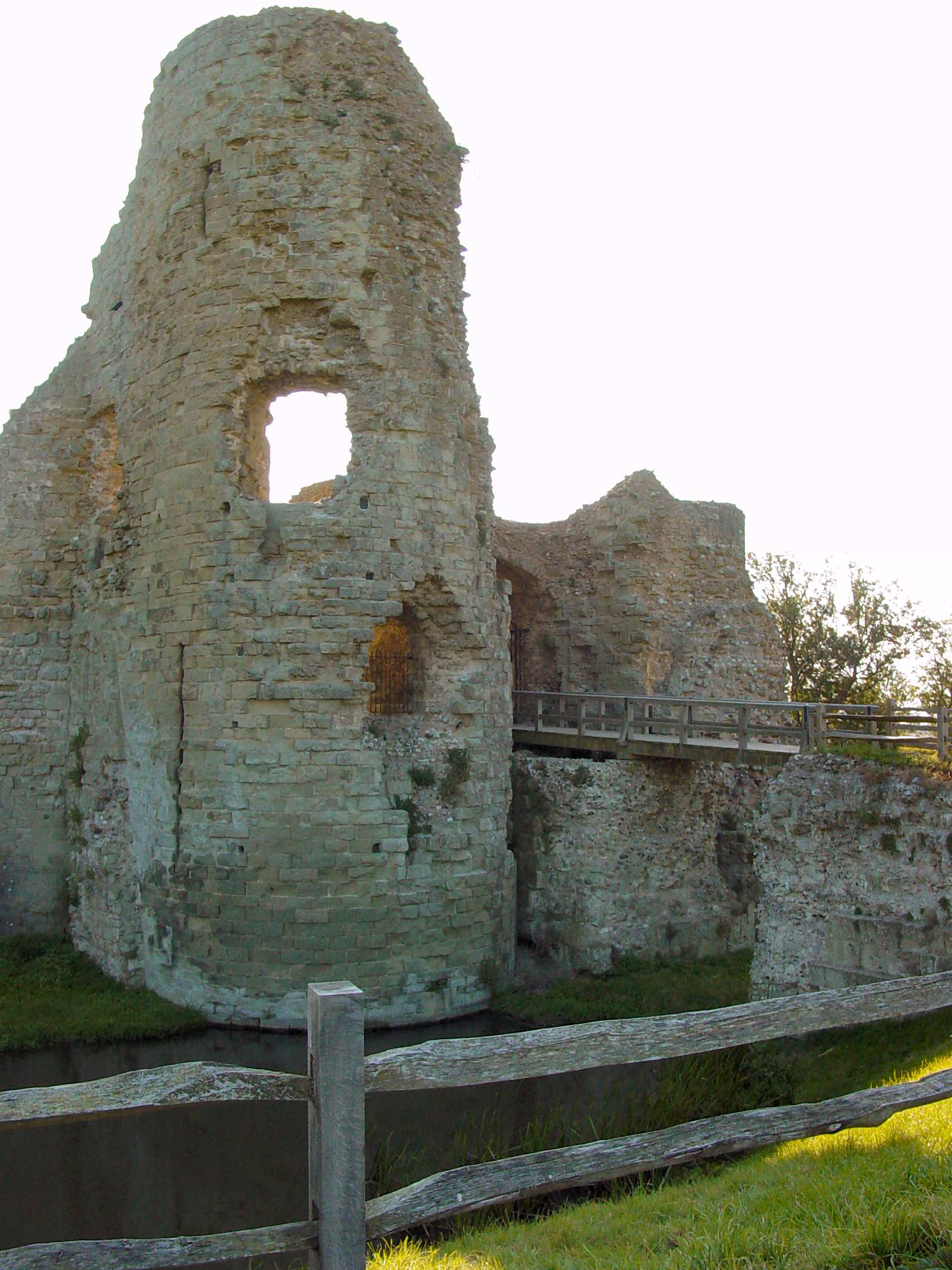
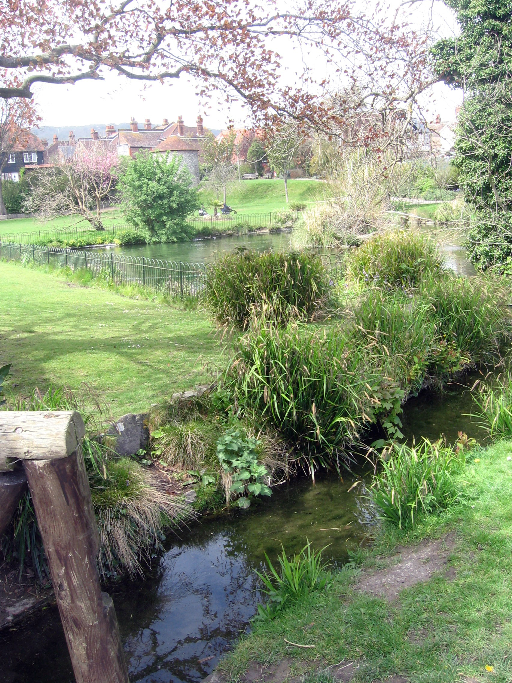
Pevensey ( ) is a village and civil parishes in England, civil parish in the Wealden District, Wealden district of East Sussex, England. The main village is located north-east of Eastbourne, one mile (1.6 km) inland from Pevensey Bay. The settlement of Pevensey Bay forms part of the parish. It was here that William the Conqueror made the landing in his Norman Conquest, invasion of England in 1066 after crossing the English Channel from Normandy. Geography Pevensey is situated on a spur of sand and clay, about above sea level. In Roman times this spur was a peninsula that projected into a tidal lagoon and marshes. A small river, Pevensey Haven, runs along the north side of the peninsula and would originally have discharged into the lagoon, but is now largely silted up. The lagoon extended inland as far north as Hailsham and eastwards to Hooe, East Sussex, Hooe. With the effect of longshore drift this large bay was gradually cut off from the sea by shingle, so that today's ... [...More Info...] [...Related Items...] OR: [Wikipedia] [Google] [Baidu] |
Pevensey Levels
Pevensey Levels is a biological Site of Special Scientific Interest between Bexhill-on-Sea and Hailsham in East Sussex. It is a Nature Conservation Review site, Grade I, a Ramsar site and a Special Area of Conservation. An area of is a national nature reserve and an area of is a nature reserve called Pevensey Marshes which is managed by the Sussex Wildlife Trust. This is a large area of wetland grazing meadows intersected by a network of ditches. It has many nationally rare invertebrates. It may be the best site in Britain for freshwater mollusc Mollusca is a phylum of protostome, protostomic invertebrate animals, whose members are known as molluscs or mollusks (). Around 76,000 extant taxon, extant species of molluscs are recognized, making it the second-largest animal phylum ... fauna, including the endangered shining ram's-horn snail. It also has one nationally rare and several nationally scarce aquatic plants and it is of national importance for lapwing, w ... [...More Info...] [...Related Items...] OR: [Wikipedia] [Google] [Baidu] |
Sussex Wildlife Trust
The Sussex Wildlife Trust (SWT) is a conservation charity which aims to protect natural life in Sussex. It was founded in 1961 and is one of 46 The Wildlife Trusts partnership, wildlife trusts across the UK and the Isle of Man and Alderney. As of 2024, it had 38,000 members and manages of land for nature. It is a registered Charitable organization#Registration, charity and in the year to 31 March 2019 it had an income of £5.7 million and expenditure of £4 million, resulting in net income of £1.7 million. The SWT manages twenty-six nature reserves in the county. Nineteen are Sites of Special Scientific Interest, one is a national nature reserve (United Kingdom), national nature reserve, eleven are local nature reserves, eight are Special Areas of Conservation, three are Special Protection Areas, three are Ramsar sites and seven are Nature Conservation Review sites. Its headquarters at Woods Mill, south of Henfield, is also a nature reserve with a lake, woodland ... [...More Info...] [...Related Items...] OR: [Wikipedia] [Google] [Baidu] |
Great Raft Spider
The great raft spider or fen raft spider (''Dolomedes plantarius'') is a European species of spider in the family Dolomedidae. Like other ''Dolomedes'' spiders, it is semiaquatic, hunting its prey on the surface of water. It occurs mainly in neutral to alkaline, unpolluted water of fens and grazing marsh. Taxonomy The species was first described by arachnologist Carl Alexander Clerck in 1757 as ''Araneus plantarius''. Its genus was reclassified by Pierre André Latreille in 1804 to ''Dolomedes''. The species has also been described under the name ''Aranea viridata'' by Müller and as ''Dolomedes riparius'' by Hahn. The species is currently recognised as ''Dolomedes plantarius'' and has two widely recognised common names: the great raft spider and the fen raft spider. Morphology ''D. plantarius'' is a large species within its range. Adult females can have bodies of slightly over 20mm in length with a span of 70mm including their legs. It is typically black or brown in col ... [...More Info...] [...Related Items...] OR: [Wikipedia] [Google] [Baidu] |
Wealden District
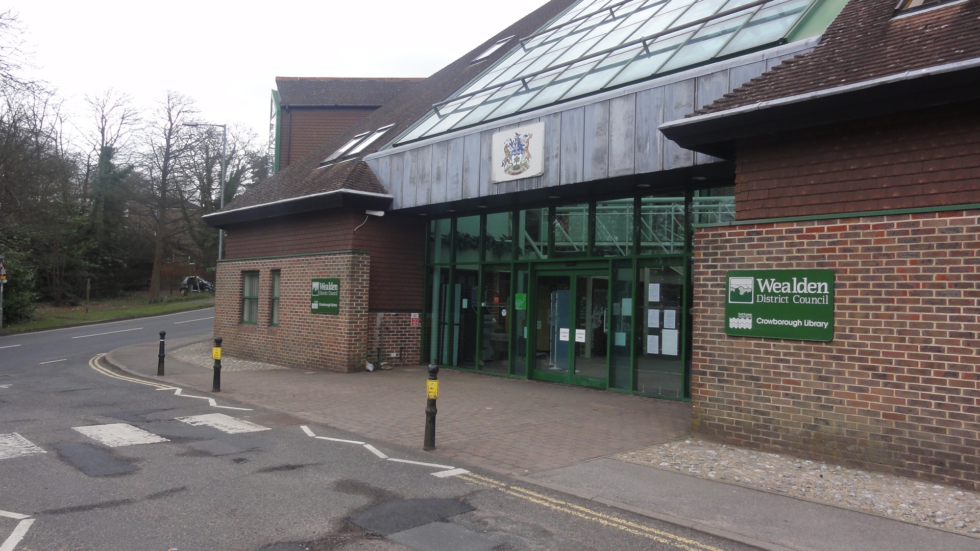
Wealden is a local government district in East Sussex, England. Its council is based in Hailsham, the district's second largest town. The district also includes the towns of Crowborough, Polegate and Uckfield, along with numerous villages and surrounding rural areas. The district's name comes from the Weald, the landscape and ancient woodland which occupies much of the centre and north of the area. Much of the district's landscape is recognised for its beauty; the south of the district includes part of the South Downs National Park, and the north of the district includes part of the High Weald Area of Outstanding Natural Beauty. The district has two sections of coastline, lying east and west of the neighbouring authority of Eastbourne, with the western section of coastline including the cliffs known as the Seven Sisters. The neighbouring districts are Eastbourne, Lewes, Mid Sussex, Tandridge, Sevenoaks, Tunbridge Wells and Rother. History The district was formed ... [...More Info...] [...Related Items...] OR: [Wikipedia] [Google] [Baidu] |
Hailsham
Hailsham is a town, a civil parish and the administrative centre of the Wealden district of East Sussex, England.OS Explorer map Eastbourne and Beachy Head Scale: 1:25 000. Publisher:Ordnance Survey – Southampton B2 edition. Publishing Date:2009. It is mentioned in the Domesday Book, where it is called ''Hamelesham''.The Domesday Book, Englands Heritage, Then and Now, Editor: Thomas Hinde. Work:Hailsham, Sussex, Page 276 in one part, yet mentioned in another part of the same book as ‘’’Tilux’’’, the land of Ricard de Tunbrige. The town of Hailsham has a history of industry and agriculture. Etymology The name "Hailsham" is thought to come from the Saxon "Haegels Ham", meaning the clearing or settlement of Haegel, Hella or a similar name, possibly even "Aella's Ham", the clearing of Aella the Saxon. The name of the town has been spelt in various ways through the ages from ‘Hamelsham’ (as it was referred to in the Domesday Book), "Aylesham" in the 13th cent ... [...More Info...] [...Related Items...] OR: [Wikipedia] [Google] [Baidu] |
Ælle Of Sussex
Ælle (also Aelle or Ella) is recorded in much later medieval sources as the first king of the South Saxons, reigning in what is now called Sussex, England, from 477 to perhaps as late as 514. According to the ''Anglo-Saxon Chronicle'', Ælle and three of his sons are said to have landed at a place called Cymensora and fought against the local Britons. The ''Chronicle'' goes on to report a victory dated to 491 at Anderitum (present day Pevensey Castle) where the battle ended with the Saxons slaughtering their Brittonic opponents to the last man. Ælle was the first king recorded by the 8th century chronicler Bede to have held "''imperium''", or overlordship, over other Anglo-Saxon kingdoms.Bede, ''Ecclesiastical History'', II 5. In the late 9th-century ''Anglo-Saxon Chronicle'' (around four hundred years after his time) Ælle is recorded as being the first bretwalda, or "Britain-ruler", though there is no evidence that this was a contemporary title. Ælle's death is not reco ... [...More Info...] [...Related Items...] OR: [Wikipedia] [Google] [Baidu] |
Saxon Shore
The Saxon Shore () was a military command of the Late Roman Empire, consisting of a series of fortifications on both sides of the English Channel. It was established in the late 3rd century and was led by the " Count of the Saxon Shore". In the late 4th century, his functions were limited to Britain, while the fortifications in Gaul were established as separate commands. Several well-preserved Saxon Shore forts survive in east and south-east England. Background During the latter half of the 3rd century, the Roman Empire faced a grave crisis: Weakened by civil wars, the rapid succession of short-lived emperors, and secession in the provinces, the Romans now faced new waves of attacks by barbarian tribes. Most of Britain had been part of the empire since the mid-1st century. It was protected from raids by native Celtic Britons in the north by the Hadrianic and Antonine Walls, while a fleet of some size was also available. However, as the frontiers came under increasing extern ... [...More Info...] [...Related Items...] OR: [Wikipedia] [Google] [Baidu] |
Bexhill And Battle (UK Parliament Constituency)
Bexhill and Battle () is a Constituencies of the Parliament of the United Kingdom, constituency in East Sussex represented in the House of Commons of the United Kingdom, House of Commons of the Parliament of the United Kingdom, UK Parliament since 2024 United Kingdom general election, 2024 by Kieran Mullan of the Conservative Party (UK), Conservative Party. Constituency profile The constituency is predominantly rural, like Wealden (UK Parliament constituency), Wealden to the west. The main towns are the shingle-beach resort of Bexhill-on-Sea and the historic town of Battle, East Sussex, Battle. Electoral Calculus describes the seat as "Strong Right" characterised by retired, socially conservative voters who strongly supported Brexit. Notable representatives The seat's first MP, Charles Wardle, served as a junior Home Office minister in the government of John Major; Wardle List of British Members of Parliament who crossed the floor#1997–2001 Parliament, had the Conservative w ... [...More Info...] [...Related Items...] OR: [Wikipedia] [Google] [Baidu] |
Eastbourne
Eastbourne () is a town and seaside resort in East Sussex, on the south coast of England, east of Brighton and south of London. It is also a non-metropolitan district, local government district with Borough status in the United Kingdom, borough status. Eastbourne is immediately east of Beachy Head, the highest chalk sea cliff in Great Britain and part of the larger Eastbourne Downland Estate. The seafront consists largely of Victorian architecture, Victorian hotels, a Eastbourne Pier, pier, Congress Theatre (Eastbourne), theatre, Towner Gallery, contemporary art gallery and a Napoleonic era, Napoleonic era Eastbourne Redoubt, fort and military museum. Although Eastbourne is a relatively new town, there is evidence of human occupation in the area from the Stone Age. The town grew as a fashionable tourist resort largely thanks to prominent landowner William Cavendish, 7th Duke of Devonshire, William Cavendish, later to become the Duke of Devonshire. Cavendish appointed archite ... [...More Info...] [...Related Items...] OR: [Wikipedia] [Google] [Baidu] |
East Sussex
East Sussex is a Ceremonial counties of England, ceremonial county in South East England. It is bordered by Kent to the north-east, West Sussex to the west, Surrey to the north-west, and the English Channel to the south. The largest settlement is the city of Brighton and Hove, and the county town is Lewes. The county has an area of and a population of 822,947. The latter is largely concentrated along the coast, where the largest settlements are located: Brighton and Hove (277,105), Eastbourne (99,180), and Hastings (91,490). The centre and north of the county are largely rural, and the largest settlement is Crowborough (21,990). For Local government in England, local government purposes, East Sussex comprises a non-metropolitan county, with five districts, and the Unitary authorities of England, unitary authority of Brighton and Hove. East Sussex and West Sussex Historic counties of England, historically formed a single county, Sussex. The northeast of East Sussex is part of ... [...More Info...] [...Related Items...] OR: [Wikipedia] [Google] [Baidu] |
Hooe, East Sussex
Hooe is both a small village and a civil parish in the Wealden District of East Sussex; the village being located about two miles (3 km) north-west of Bexhill, and north of the A259 coast road, on the B2095 road from Ninfield. The parish name takes account of local usage, and the location of the parish church; in fact the main population centre is to the north, and is called Hooe Common. History The name Hooe comes from the Saxon word meaning a ridge, since the village stood on a ridge of land between two arms of the sea. Those areas are now low-lying land, one being the ''Hooe Levels'', across which flows the stream known as ''Waller's Haven''. The River Ashbourne flows into the Haven, down which iron products, particularly cannon, used to be shipped from the Wealden iron works at Ashburnham. During the 18th century Hooe was used by local gangs for the smuggling trade. There was a high demand in France for English wool and the local Romney sheep produced fine w ... [...More Info...] [...Related Items...] OR: [Wikipedia] [Google] [Baidu] |
Norman Conquest
The Norman Conquest (or the Conquest) was the 11th-century invasion and occupation of England by an army made up of thousands of Normans, Norman, French people, French, Flemish people, Flemish, and Bretons, Breton troops, all led by the Duke of Normandy, later styled William the Conqueror. William's claim to the English throne derived from his familial relationship with the childless Anglo-Saxon king Edward the Confessor, who may have encouraged William's hopes for the throne. Edward died in January 1066 and was succeeded by his brother-in-law Harold Godwinson. The Norwegian king Harald Hardrada invaded northern England in September 1066 and was victorious at the Battle of Fulford on 20 September, but Godwinson's army defeated and killed Hardrada at the Battle of Stamford Bridge on 25 September. Three days later on 28 September, William's invasion force of thousands of men and hundreds of ships landed at Pevensey in Sussex in southern England. Harold marched south to oppose ... [...More Info...] [...Related Items...] OR: [Wikipedia] [Google] [Baidu] |


