|
Osa, Norway
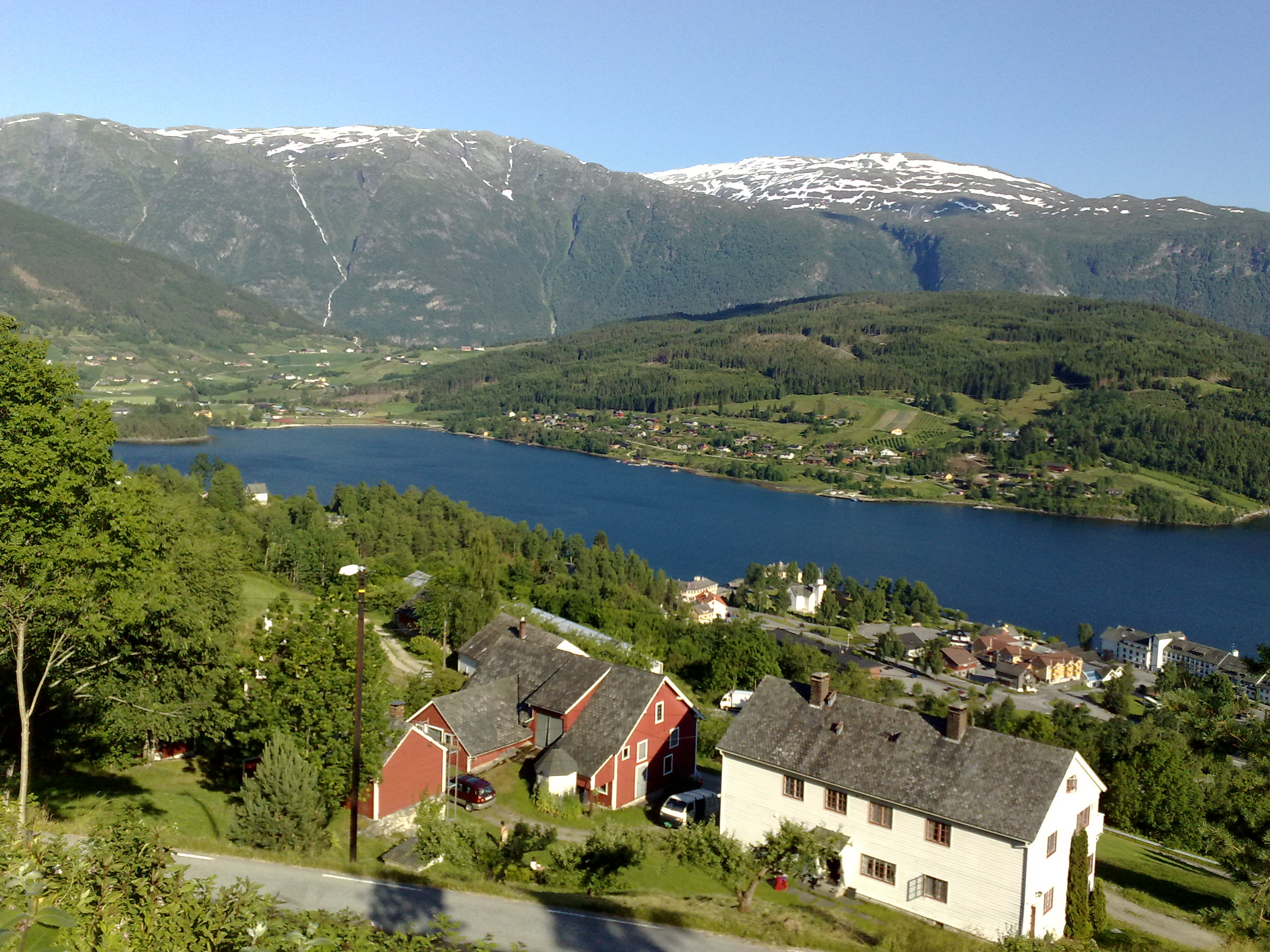
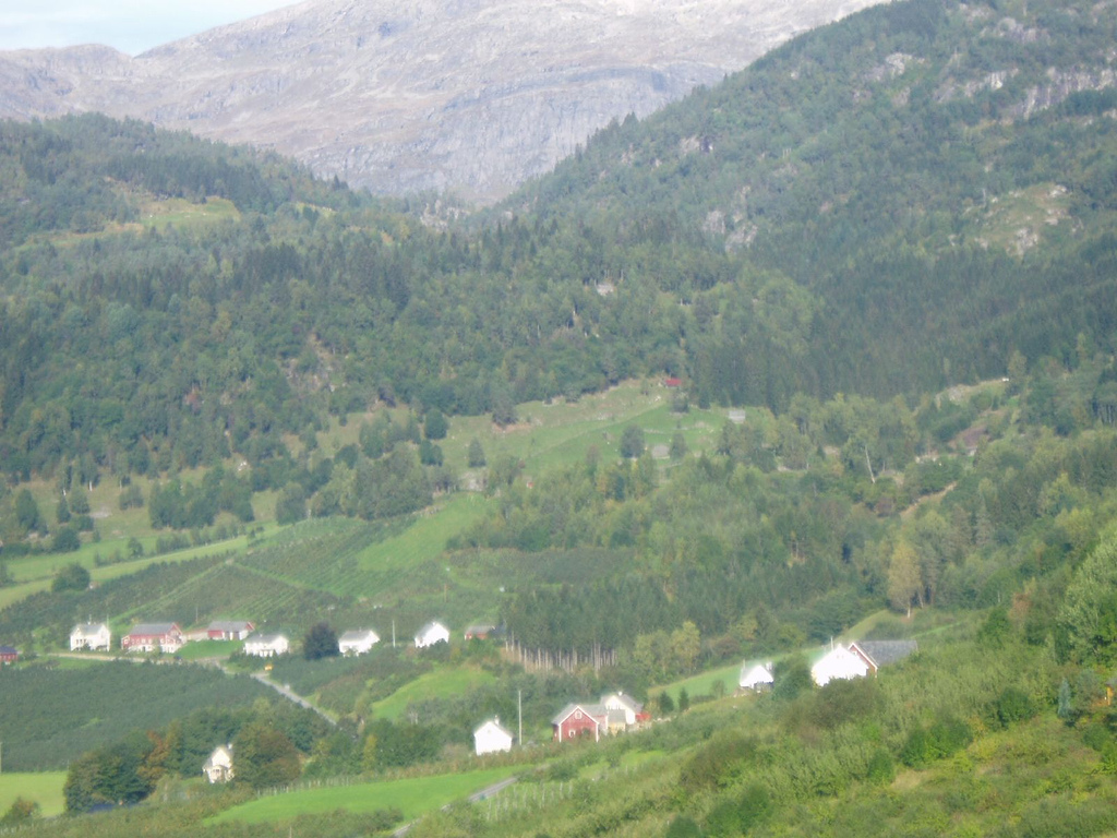
Osa is a small village in the municipality of Ulvik in Vestland county, Norway. The village lies at the end of the Osa Fjord, about northeast of the village of Ulvik. The village sits at the confluence of the two rivers: Austdøla and Norddøla, which then join together for about before emptying into the fjord. Historically, this place was the connection between the Hardanger district and Hallingskeid (up on the Hardangervidda Hardangervidda ( en, Hardanger Plateau) is a mountain plateau (Norwegian: ''vidde'') in central southern Norway, covering parts of Vestland, Vestfold og Telemark, and Viken counties. It is the largest plateau of its kind in Europe, with a cold ye ... plateau. References Ulvik Villages in Vestland {{Vestland-geo-stub ... [...More Info...] [...Related Items...] OR: [Wikipedia] [Google] [Baidu] |
Norway
Norway, officially the Kingdom of Norway, is a Nordic country in Northern Europe, the mainland territory of which comprises the western and northernmost portion of the Scandinavian Peninsula. The remote Arctic island of Jan Mayen and the archipelago of Svalbard also form part of Norway. Bouvet Island, located in the Subantarctic, is a dependency of Norway; it also lays claims to the Antarctic territories of Peter I Island and Queen Maud Land. The capital and largest city in Norway is Oslo. Norway has a total area of and had a population of 5,425,270 in January 2022. The country shares a long eastern border with Sweden at a length of . It is bordered by Finland and Russia to the northeast and the Skagerrak strait to the south, on the other side of which are Denmark and the United Kingdom. Norway has an extensive coastline, facing the North Atlantic Ocean and the Barents Sea. The maritime influence dominates Norway's climate, with mild lowland temperatures on the se ... [...More Info...] [...Related Items...] OR: [Wikipedia] [Google] [Baidu] |
Central European Time
Central European Time (CET) is a standard time which is 1 hour ahead of Coordinated Universal Time (UTC). The time offset from UTC can be written as UTC+01:00. It is used in most parts of Europe and in a few North African countries. CET is also known as Middle European Time (MET, German: MEZ) and by colloquial names such as Amsterdam Time, Berlin Time, Brussels Time, Madrid Time, Paris Time, Rome Time, Warsaw Time or even Romance Standard Time (RST). The 15th meridian east is the central axis for UTC+01:00 in the world system of time zones. As of 2011, all member states of the European Union observe summer time (daylight saving time), from the last Sunday in March to the last Sunday in October. States within the CET area switch to Central European Summer Time (CEST, UTC+02:00) for the summer. In Africa, UTC+01:00 is called West Africa Time (WAT), where it is used by several countries, year round. Algeria, Morocco, and Tunisia also refer to it as ''Central European ... [...More Info...] [...Related Items...] OR: [Wikipedia] [Google] [Baidu] |
Hallingskeid
Hallingskeid Station ( no, Hallingskeid stasjon) is a train station on the Bergen Line in the municipality of Ulvik in Vestland county, Norway. Located at an elevation of above mean sea level, the station is situated inside a snow tunnel. It opened along with the central section of the line on 10 June 1908 and remained as a staffed station until 1982. It is located on the Hardangervidda plateau in an area without population or road access. The station therefore serves trekkers and mountaineers. Only some of the Vy trains stop at the station. The original station building was designed by Paul Due, who used the same architectural plan for four other mountain stations on the line. The snow tunnel has caught fire five times. The fires in 1948, 1953 and 2008 only caused minor damage to the tunnel itself. The 1960 fire burned-down the tunnel, the station building and most of the station area. The last fire, in 2011, had a Class 73 train caught in the tunnel; both it and the tunnel ... [...More Info...] [...Related Items...] OR: [Wikipedia] [Google] [Baidu] |
Fjord
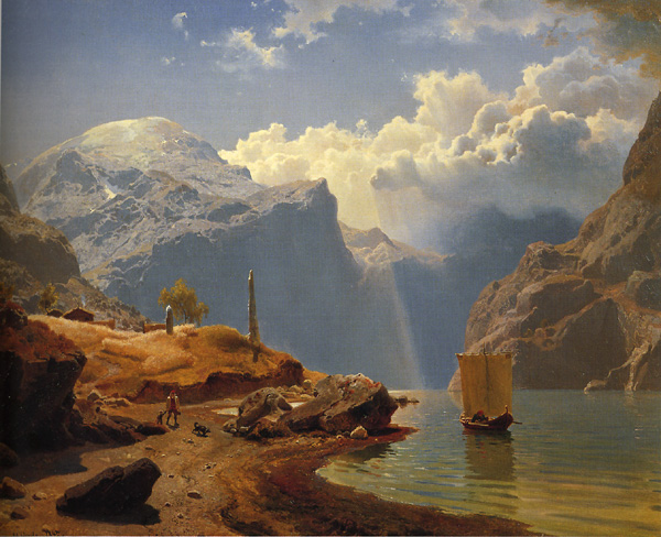
In physical geography, a fjord or fiord () is a long, narrow inlet with steep sides or cliffs, created by a glacier. Fjords exist on the coasts of Alaska, Antarctica, British Columbia, Chile, Denmark, Germany, Greenland, the Faroe Islands, Iceland, Ireland, Kamchatka, the Kerguelen Islands, Labrador, Newfoundland, New Zealand, Norway, Novaya Zemlya, Nunavut, Quebec, the Patagonia region of Argentina and Chile, Russia, South Georgia Island, Tasmania, United Kingdom, and Washington state. Norway's coastline is estimated to be long with its nearly 1,200 fjords, but only long excluding the fjords. Formation A true fjord is formed when a glacier cuts a U-shaped valley by ice segregation and abrasion of the surrounding bedrock. According to the standard model, glaciers formed in pre-glacial valleys with a gently sloping valley floor. The work of the glacier then left an overdeepened U-shaped valley that ends abruptly at a valley or trough end. Such valleys are fjords wh ... [...More Info...] [...Related Items...] OR: [Wikipedia] [Google] [Baidu] |
Confluence
In geography, a confluence (also: ''conflux'') occurs where two or more flowing bodies of water join to form a single channel. A confluence can occur in several configurations: at the point where a tributary joins a larger river (main stem); or where two streams meet to become the source of a river of a new name (such as the confluence of the Monongahela and Allegheny rivers at Pittsburgh, forming the Ohio); or where two separated channels of a river (forming a river island) rejoin at the downstream end. Scientific study of confluences Confluences are studied in a variety of sciences. Hydrology studies the characteristic flow patterns of confluences and how they give rise to patterns of erosion, bars, and scour pools. The water flows and their consequences are often studied with mathematical models. Confluences are relevant to the distribution of living organisms (i.e., ecology) as well; "the general pattern ownstream of confluencesof increasing stream flow and decreasing s ... [...More Info...] [...Related Items...] OR: [Wikipedia] [Google] [Baidu] |
Ulvik (village)
Ulvik is a village in the municipality of Ulvik which is located in Vestland county, Norway. The village sits at the end of the Ulvikafjorden, a side arm off of the main Hardangerfjord. The village lies about north of the Hardanger Bridge and about east of the village of Vossevangen. The village has a population (2019) of 534 and a population density of . The centre of the village is called "Brakanes" and it is located at the mouth of the river Tysso. This is the downtown part of the village and it includes most of the commercial areas including a cinema as well as Ulvik Church, the only church in the municipality. Brakanes School is a primary and lower secondary school (and the only school in Ulvik). The school has about 150 students that attend there. History The village centre of Ulvik was burned by the Germans , native_name_lang = de , region1 = , pop1 = 72,650,269 , region2 = , pop2 = 534,000 , region3 ... [...More Info...] [...Related Items...] OR: [Wikipedia] [Google] [Baidu] |
Osa Fjord
The Osa Fjord ( no, Osafjorden) is a branch of the Eid Fjord and the Hardanger Fjord fully located within the municipality of Ulvik in Vestland county, Norway. The fjord is long, with a maximum depth of at its mouth, and it runs northeast from its mouth between Bruravik and Bagnsnes to the head of the fjord at the small village of Osa. On the west side, the Ulvik Fjord extends to the north to the municipal center of Ulvik. The outermost part of the Osa Fjord is also known as the Bagns Fjord ( no, Bagnsfjorden), named after the headland where the fjord starts. At Bruravik there was formerly a ferry connection across the Eid Fjord to Brimnes in the municipality of Eidfjord Eidfjord is a municipality in Vestland county, Norway. The municipality is located in the traditional district of Hardanger. The administrative centre of the municipality is the village of Eidfjord, where the majority of the municipal popula .... Norwegian County Road 572 runs along the west side o ... [...More Info...] [...Related Items...] OR: [Wikipedia] [Google] [Baidu] |
Central European Summer Time
Central European Summer Time (CEST), sometimes referred to as Central European Daylight Time (CEDT), is the standard clock time observed during the period of summer daylight-saving in those European countries which observe Central European Time (CET; UTC+01:00) during the other part of the year. It corresponds to UTC+02:00, which makes it the same as Eastern European Time, Central Africa Time, South African Standard Time, Egypt Standard Time and Kaliningrad Time in Russia. Names Other names which have been applied to Central European Summer Time are Middle European Summer Time (MEST), Central European Daylight Saving Time (CEDT), and Bravo Time (after the second letter of the NATO phonetic alphabet). Period of observation Since 1996, European Summer Time has been observed between 01:00 UTC (02:00 CET and 03:00 CEST) on the last Sunday of March, and 01:00 UTC on the last Sunday of October; previously the rules were not uniform across the European Union. There were proposals ... [...More Info...] [...Related Items...] OR: [Wikipedia] [Google] [Baidu] |
Ulvik
Ulvik is a municipality in Vestland county, Norway. The municipality stretches from the Hardangerfjord to the mountains that reach above sea level. The administrative centre of the municipality is the village of Ulvik. The villages of Osa and Finse are also located in Ulvik municipality. The municipality is the 158th largest by area out of the 356 municipalities in Norway. Ulvik is the 331st most populous municipality in Norway with a population of 1,051. The municipality's population density is and its population has decreased by 5.5% over the previous 10-year period. Of the municipality's total population, nearly half live in the village of Ulvik at the end of the Ulvikafjorden. The vast majority of those who do not live in the village of Ulvik live on the farms surrounding the village or at the end of the Osa Fjord in the village of Osa. In 2016, the chief of police for Vestlandet formally suggested a reconfiguration of police districts and stations. He proposed that the ... [...More Info...] [...Related Items...] OR: [Wikipedia] [Google] [Baidu] |
List Of Regions Of Norway
Norway is commonly divided into five major geographical regions (''landsdeler''). These regions are purely geographical, and have no administrative purpose. However, in 2017 the government decided to abolish the current counties of Norway (''fylker'') and to replace them with fewer, larger administrative regions (''regioner''). The first of these new areas came into existence on 1 January 2018, when Nord-Trøndelag and Sør-Trøndelag merged to form Trøndelag. According to most definitions, the counties of Norway are divided into the following regions (these groupings are approximate): * Northern Norway (''Nord-Norge''/''Nord-Noreg'') **Troms og Finnmark ** Nordland *Trøndelag (alt. ''Midt-Norge''/''Midt-Noreg'') **Trøndelag *Western Norway (''Vestlandet'') ** Møre og Romsdal **Vestland ** Rogaland *Southern Norway (''Sørlandet'' or ''Agder'') **Agder *Eastern Norway (''Østlandet''/''Austlandet'') **Vestfold og Telemark **Viken **Innlandet **Oslo The division into region ... [...More Info...] [...Related Items...] OR: [Wikipedia] [Google] [Baidu] |
List Of Municipalities Of Norway
Norway is divided into 11 administrative regions, called counties (''fylker'' in Norwegian, singular: ''fylke''), and 356 municipalities (''kommuner/-ar'', singular: ''kommune'' – cf. communes). The capital city Oslo is considered both a county and a municipality. Municipalities are the atomic unit of local government in Norway and are responsible for primary education (until 10th grade), outpatient health services, senior citizen services, unemployment and other social services, zoning, economic development, and municipal roads. Law enforcement and church services are provided at a national level in Norway. Municipalities are undergoing continuous consolidation. In 1930, there were 747 municipalities in Norway. As of 2020 there are 356 municipalities, a reduction from 422. See the list of former municipalities of Norway for further detail about municipal mergers. The consolidation effort is complicated by a number of factors. Since block grants are made by the national ... [...More Info...] [...Related Items...] OR: [Wikipedia] [Google] [Baidu] |
Hardanger
Hardanger is a traditional district in the western part of Norway, dominated by the Hardangerfjord and its inner branches of the Sørfjorden and the Eid Fjord. It consists of the municipalities of Ullensvang, Eidfjord, Ulvik and Kvam, and is located inside the county of Vestland. The area is dominated by the vast Hardangervidda plateau in the east and the large Folgefonna glacier on the central Folgefonna peninsula. The district was selected as the millennium site for the old Hordaland county. In the early Viking Age, before Harald Fairhair, Hardanger was a petty kingdom with its capital at Kinsarvik. Etymology The Old Norse form of the name was ''Harðangr''. The first element is derived from the ethnonym '' hǫrðar'', or from ''harðr'' meaning "hard" (referring to wind and weather). The last element is ''angr'' "tight fjord" (the name originally belonged to the fjord, now called Hardangerfjord). Agriculture The region is one of Norway's most important sources of fruit ... [...More Info...] [...Related Items...] OR: [Wikipedia] [Google] [Baidu] |

.jpg)


