|
Ontario County, New York
Ontario County is a county in the U.S. State of New York. As of the 2020 census, the population was 112,458. The county seat is Canandaigua. Ontario County is part of the Rochester, NY Metropolitan Statistical Area. In 2006, '' Progressive Farmer'' rated Ontario County as the "Best Place to Live" in the U.S., for its "great schools, low crime, excellent health care" and its proximity to Rochester. History This area was long controlled by the Seneca people, one of the Five Nations of the Iroquois Confederacy, or ''Haudenosaunee''. They were forced to cede most of their land to the United States after the American Revolutionary War. When the English established counties in New York Province in 1683, they designated Albany County as including all the northern part of New York State, the present State of Vermont, and, in theory, extending westward to the Pacific Ocean. On July 3, 1766 Cumberland County was organized, and on March 16, 1770 Gloucester County was founded, ... [...More Info...] [...Related Items...] OR: [Wikipedia] [Google] [Baidu] |
List Of Counties In New York
There are 62 counties in the state of New York. The first 12 were created immediately after the British took over the Dutch colony of New Amsterdam; two of these counties were later abolished, their land going to Massachusetts. The newest is Bronx County, created in 1914 from the portions of New York City that had been annexed from Westchester County in the late 19th century and added to New York County. New York's counties are named for a variety of Native American words; British provinces, counties, cities, and royalty; early American statesmen and military personnel; and New York State politicians. The FIPS county code is the five-digit Federal Information Processing Standard (FIPS) code which uniquely identifies counties and county equivalents in the United States. The three-digit number is unique to each individual county within a state, but to be unique within the entire United States, it must be prefixed by the state code. This means that, for example, while A ... [...More Info...] [...Related Items...] OR: [Wikipedia] [Google] [Baidu] |
Seth Read
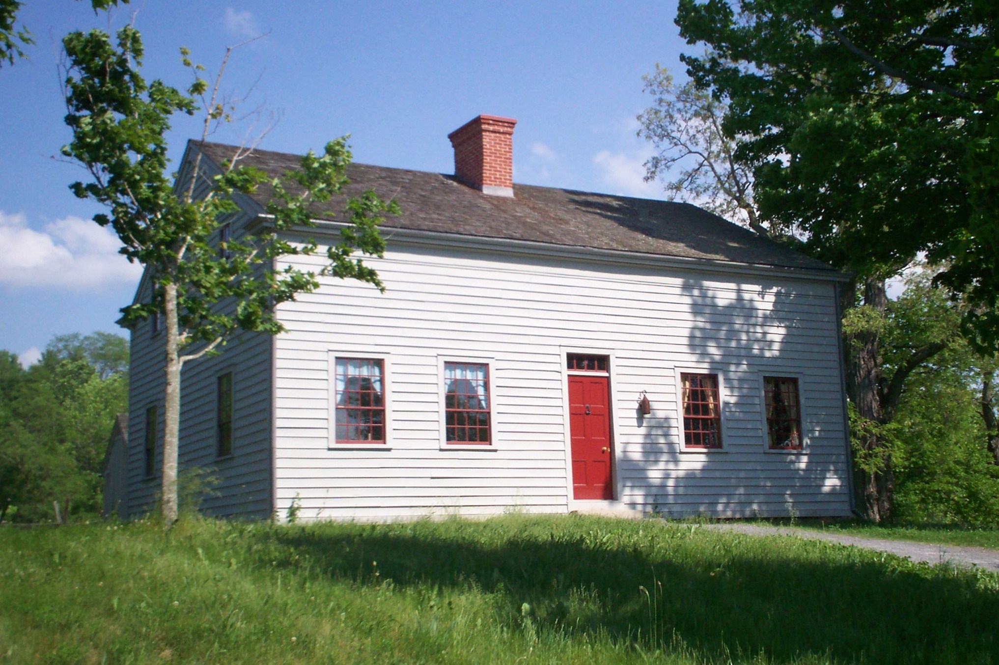
Seth Read (March 6, 1746 – March 19, 1797) was born in Uxbridge in Worcester County, Massachusetts, and died at Erie, Pennsylvania, as "Seth Reed", at age 51. Biography Early life He was the son of Lieutenant John Read, and Lucy Read. John Read had received his military title through active service in the French and Indian war. Seth Read's brothers and sisters were: Sarah, born October 24, 1729, (married Josiah Adarns December 27, 1750); Joseph, March 6, 1732; Peter, November 13, 1735; John, June 1743; Seth, March 6, 1746; Josiah, July 23, 1753. Lieutenant John Read died at Uxbridge, January 18, 1771. Seth Reed grew up in the colonial, agricultural and recently incorporated frontier town of Uxbridge. He would become a landowner, a militia member and a farmer. One reference mentioned that he worked as a physician. Read married Hannah Harwood, (b. 1747), in 1768. Their son, Charles John Read, was born on December 23, 1771. Seth and Hannah's son Rufus was born in 1775. Seth ... [...More Info...] [...Related Items...] OR: [Wikipedia] [Google] [Baidu] |
Steuben County, New York
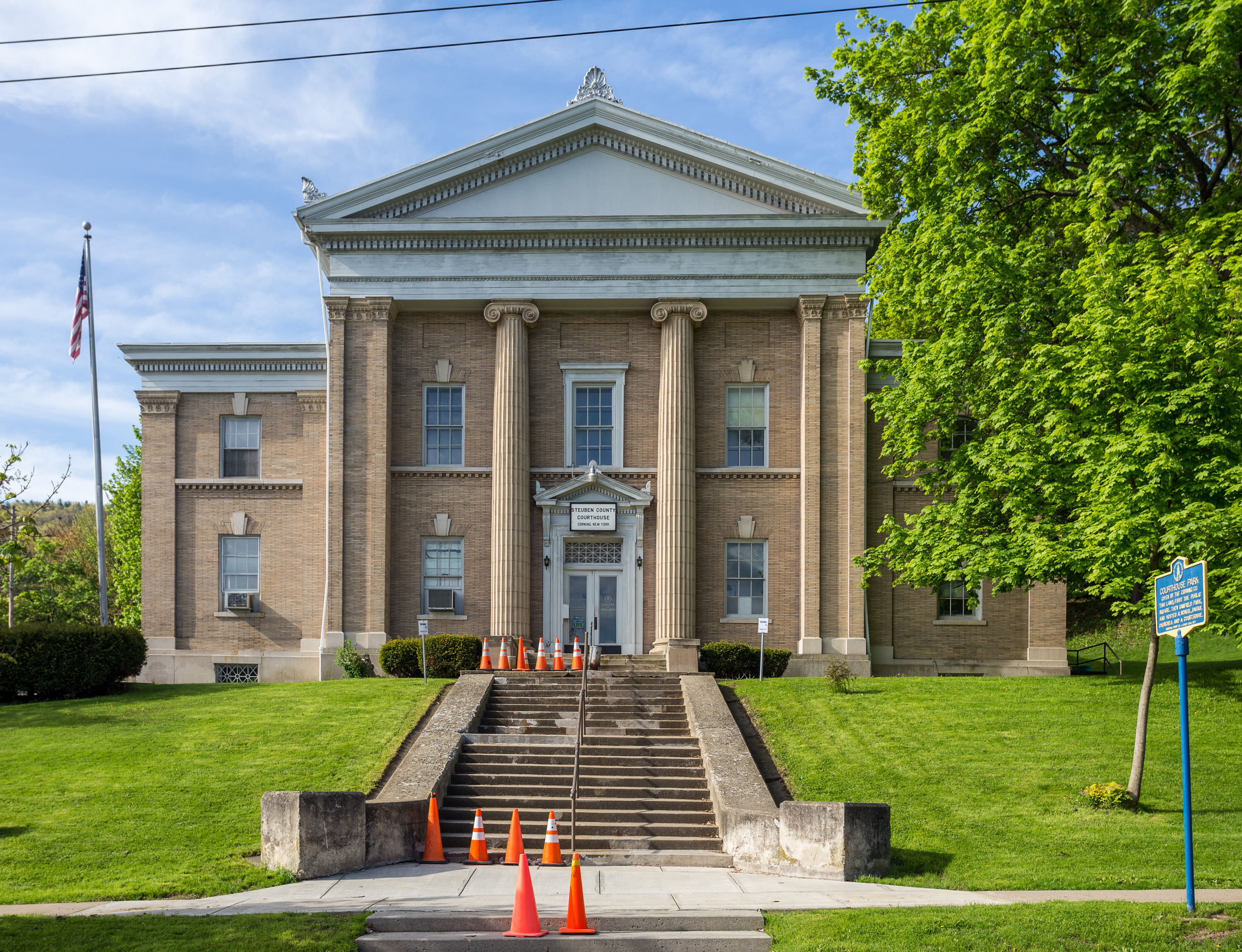
Steuben County (stu-BEN) is a county located in the U.S. state of New York. As of the 2020 census, the population was 93,584. Its county seat is Bath. Its name is in honor of Baron von Steuben, a Prussian general who fought on the American side in the American Revolutionary War, though it is not pronounced the same (). Steuben County comprises the Corning, NY Micropolitan Statistical Area, which is also included in the Elmira-Corning, NY Combined Statistical Area. History Ontario County was established in 1789 to govern lands the state of New York had acquired in the Phelps and Gorham Purchase; at the time it covered the entirety of Western New York. Steuben County, much larger than today, was split off from Ontario County on March 8, 1796. In 1823 a portion of Steuben County was combined with a portion of Ontario County to form Yates County. Steuben County was further reduced in size on April 17, 1854, when a portion was combined with portions of Chemung and Tomp ... [...More Info...] [...Related Items...] OR: [Wikipedia] [Google] [Baidu] |
Orleans County, New York
Orleans County is a county in the western part of the U.S. state of New York. As of the 2020 census, the population was 40,343. The county seat is Albion. The county received its name at the insistence of Nehemiah Ingersoll though historians are unsure how the name was selected. The two competing theories are that it was named to honor the French Royal House of Orleans or that it was to honor Andrew Jackson's victory in New Orleans. Located on the south shore of Lake Ontario, Orleans County since the late 20th century has been considered part of the Rochester, NY Metropolitan Statistical Area. History When counties were established by the British authorities in the province of New York in 1683, the present Orleans County was part of the territory of Albany County. This was an enormous county, including the northern part of present-day New York State as well as all of the present State of Vermont and, in theory, extending westward to the Pacific Ocean. This county was reduc ... [...More Info...] [...Related Items...] OR: [Wikipedia] [Google] [Baidu] |
Niagara County, New York
Niagara County is in the U.S. state of New York. As of the 2020 census, the population was 212,666. The county seat is Lockport. The county name is from the Iroquois word ''Onguiaahra''; meaning ''the strait'' or ''thunder of waters''. Niagara County is part of the Buffalo–Niagara Falls metropolitan area, and across the Canada–US border is the province of Ontario. It is the location of Niagara Falls and Fort Niagara, and has many parks and lake shore recreation communities. In the summer of 2008, Niagara County celebrated its 200th birthday with the first settlement of the county, of Niagara Falls. History When counties were established in the New York colony in 1683, the present Niagara County was part of Albany County. Prior to the British, the area was part of New Netherland. Albany was an enormous county, including the northern part of New York State as well as all of the present State of Vermont and, in theory, extending westward to the Pacific Ocean. This c ... [...More Info...] [...Related Items...] OR: [Wikipedia] [Google] [Baidu] |
Monroe County, New York
Monroe County is a county in the Finger Lakes region of the State of New York. The county is along Lake Ontario's southern shore. At the 2020 census, Monroe County's population was 759,443, an increase since the 2010 census. Its county seat and largest city is the city of Rochester. The county is named after James Monroe, the fifth president of the United States. Monroe County is part of the Rochester, NY Metropolitan Statistical Area. History When counties were established in the Province of New York in 1683, the present Monroe County was part of Albany County. This was an enormous county, including the northern part of the State of New York as well as all of the present State of Vermont and, in theory, extending westward to the Pacific Ocean. This county was reduced in size on July 3, 1766, by the creation of Cumberland County, and further on March 16, 1770, by the creation of Gloucester County, both containing territory now in Vermont. On March 12, 1772, what was le ... [...More Info...] [...Related Items...] OR: [Wikipedia] [Google] [Baidu] |
Livingston County, New York
Livingston County is a county in the U.S. state of New York. As of the 2020 census, the population was 61,834. Its county seat is Geneseo. The county is named after Robert R. Livingston, who helped draft the Declaration of Independence and negotiated the Louisiana Purchase. Livingston County is part of the Rochester Metropolitan Statistical Area. History On February 23, 1821, Livingston County, New York was formed from Ontario and Genesee Counties. The twelve original towns were: Avon, Caledonia, Conesus, Geneseo (county seat), Groveland, Leicester, Lima, Livonia, Mount Morris, Sparta, Springwater, and York. Part of North Dansville was annexed from Steuben County in 1822 and became a separate town when Sparta was divided in 1846. At the same time, the town of West Sparta was also formed from Sparta. The towns of Nunda and Portage were annexed in 1846 and the town of Ossian was annexed in 1857 from Allegany County. Avon, Williamsburgh, and the hamlet of Lake ... [...More Info...] [...Related Items...] OR: [Wikipedia] [Google] [Baidu] |
Genesee County, New York
Genesee County is a county in the U.S. state of New York. As of the 2020 census, the population was 58,388. Its county seat is Batavia. Its name is from Seneca word Gen-nis'-hee-yo, meaning "the Beautiful Valley".THE AMERICAN REVIEW; A WHIG JOURNAL DEVOTED TO POLITICS, LITERATURE, ART AND SCIENCE. VOL. VI NEW-YORK: GEORGE H. COLTON, 118 NASSAU STREET, Published 1847, Wiley and Putnam, p. 62/ref> The county was created in 1802 and organized in 1803. Genesee County comprises the Batavia, NY micropolitan statistical area, which is also in the Rochester-Batavia- Seneca Falls, NY combined statistical area. It is in Western New York. It is the namesake of Genesee County, Michigan. History Pre-Columbian era The archaeological record at the Hiscock Site, in Byron, New York goes back 10,000 to 12,000 years to the Ice Age. Researchers have found a variety of manmade tools, ceramics, metal, and leather, along with a mastodon jaw, tusks, and teeth, and assorted animal bones, indi ... [...More Info...] [...Related Items...] OR: [Wikipedia] [Google] [Baidu] |
Erie County, New York
Erie County is a county along the shore of Lake Erie in western New York State. As of the 2020 census, the population was 954,236. The county seat is Buffalo, which makes up about 28% of the county's population. Both the county and Lake Erie were named for the regional Iroquoian language-speaking Erie tribe of Native Americans, who lived in the area before 1654. They were later pushed out by the more powerful Iroquoian nations tribes. Erie County, along with its northern neighbor Niagara County, makes up the Buffalo-Niagara Falls metropolitan area, the second largest in New York State behind New York City. The county's southern part is known as the Southtowns. The county has seen one of the highest growth rates of any county in New York State from the 2010 to 2020 census. History When counties were established by the English colonial government in the Province of New York in 1683, present-day Erie County was part of Indian territory occupied by Iroquoian-speaking peoples ... [...More Info...] [...Related Items...] OR: [Wikipedia] [Google] [Baidu] |
Chautauqua County, New York
Chautauqua County is the westernmost county in the U.S. state of New York. As of the 2020 census, the population was 127,657. Its county seat is Mayville, and its largest city is Jamestown. Its name is believed to be the lone surviving remnant of the Erie language, a tongue lost in the 17th century Beaver Wars; its meaning is unknown and a subject of speculation. The county was created in 1808 and organized in 1811. Chautauqua County comprises the Jamestown– Dunkirk– Fredonia, NY Micropolitan Statistical Area. It is located south of Lake Erie and includes a small portion of the Cattaraugus Reservation of the Seneca. History Prior to European colonization, most of what is now Chautauqua County was inhabited by the indigenous Erie people prior to the Beaver Wars in the 1650s. French forces traversed the territory beginning in 1615. The Seneca Nation conquered the territory during the Beaver Wars and held it through the next century until siding with the British crown ... [...More Info...] [...Related Items...] OR: [Wikipedia] [Google] [Baidu] |
Cattaraugus County, New York
Cattaraugus County (locally known as Catt County) is a county in Western New York, with one side bordering Pennsylvania. As of the United States 2020 census, the population was 77,042. The county seat is Little Valley. The county was created in 1808 and later organized in 1817. Cattaraugus County comprises the Olean, NY Micropolitan Statistical Area, which is included in the Buffalo-Cheektowaga-Olean, NY Combined Statistical Area. Within its boundaries are the Allegany Indian Reservation of the Seneca Nation of New York, and the Allegany State Park. The Allegheny River runs through the county. History In ancient times, the largely unsettled territory was the traditional homeland of the now-extinct Wenrohronon Indians. It later became the territory of the Seneca people, one of the five Nations of the Haudenosaunee. During the colonial era, it was claimed by at least three Territories of the United States: New York Colony, Massachusetts Bay Colony, and Pennsylvani ... [...More Info...] [...Related Items...] OR: [Wikipedia] [Google] [Baidu] |
Allegany County, New York
Allegany County is a county in the Southern Tier of the U.S. state of New York. As of the 2020 census, the population was 46,456. Its county seat is Belmont. Its name derives from a Lenape word, applied by European-American settlers of Western New York State to a trail that followed the Allegheny River; they also named the county after this. The county is bisected by the Genesee River, flowing north to its mouth on Lake Ontario. During the mid-nineteenth century, the Genesee Valley Canal was built to link southern markets to the Great Lakes and Mohawk River. The county was also served by railroads, which soon superseded the canals in their capacity for carrying freight. Part of the Oil Springs Reservation, controlled by the Seneca Nation, is located in the county. History For centuries, Allegany County was the territory of the Seneca people, at the westernmost nation of the Five Nations of the ''Haudenosaunee'', a confederacy of Iroquoian languages-speaking peoples. Europ ... [...More Info...] [...Related Items...] OR: [Wikipedia] [Google] [Baidu] |


