|
Nissan Maru
''Nissan Maru'' () was a Japanese cargo ship completed in 1939 owned by Nissan Kisen K.K. that was requisitioned for service as an auxiliary collier and oiler by the Imperial Japanese Navy during World War II. She served with the 5th Fleet and was sunk by United States Army Air Forces bombers during the Japanese occupation of Kiska in the Aleutian Islands Campaign. Building and civilian service The vessel was laid down on 30 June 1938 by the Osaka Iron Works at its shipyard for Nissan Kisen K.K.. Launched on 6 November of that year and named ''Nissan Maru'', she was completed and registered at Tokyo on 15 January 1939. ''Nissan Maru'' was a 6,534 GRT cargo ship with a net register tonnage of 3,887. She was equipped with a direction finder, and had two decks with a cruiser stern. She had a length of 424.1 feet, a beam of 57.4 feet, and a depth of 34.4 feet. The ship was powered by two oil-burning Hitachi steam turbines double reduction geared to one screw shaft rated at 500 NH ... [...More Info...] [...Related Items...] OR: [Wikipedia] [Google] [Baidu] |
Imperial Japanese Navy
The Imperial Japanese Navy (IJN; Kyūjitai: Shinjitai: ' 'Navy of the Greater Japanese Empire', or ''Nippon Kaigun'', 'Japanese Navy') was the navy of the Empire of Japan from 1868 to 1945, when it was dissolved following Japan's surrender in World War II. The Japan Maritime Self-Defense Force (JMSDF) was formed between 1952–1954 after the dissolution of the IJN. The Imperial Japanese Navy was the third largest navy in the world by 1920, behind the Royal Navy and the United States Navy (USN). It was supported by the Imperial Japanese Navy Air Service for aircraft and airstrike operation from the fleet. It was the primary opponent of the Western Allies in the Pacific War. The origins of the Imperial Japanese Navy go back to early interactions with nations on the Asian continent, beginning in the early medieval period and reaching a peak of activity during the 16th and 17th centuries at a time of cultural exchange with European powers during the Age of Discovery. After t ... [...More Info...] [...Related Items...] OR: [Wikipedia] [Google] [Baidu] |
Cruiser Stern
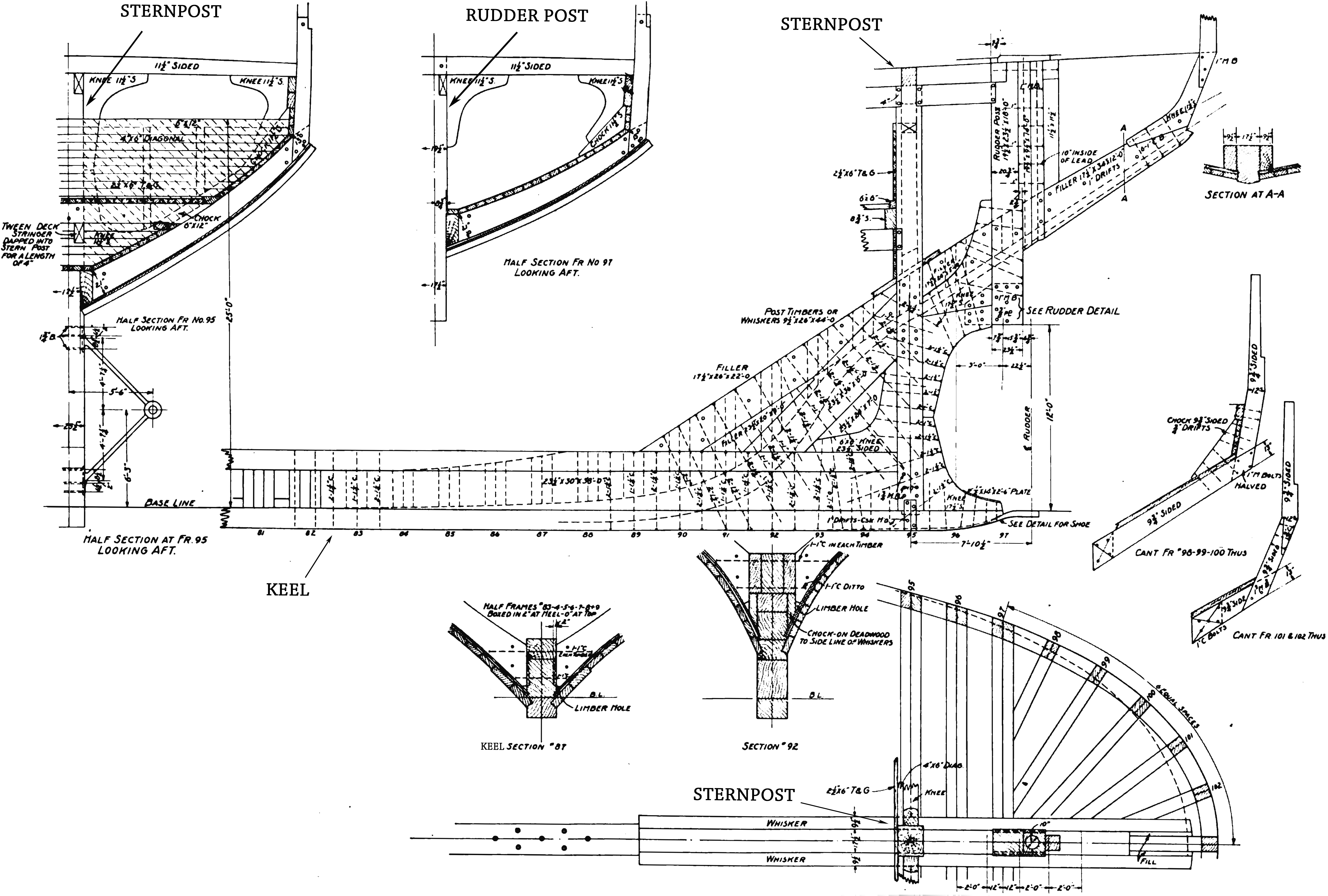
The stern is the back or aft-most part of a ship or boat, technically defined as the area built up over the sternpost, extending upwards from the counter rail to the taffrail. The stern lies opposite the bow (ship), bow, the foremost part of a ship. Originally, the term only referred to the aft port section of the ship, but eventually came to refer to the entire back of a vessel. The stern end of a ship is indicated with a white navigation light at night. Sterns on European and American wooden sailing ships began with two principal forms: the ''square'' or ''transom'' stern and the ''elliptical'', ''fantail'', or ''merchant'' stern, and were developed in that order. The hull sections of a sailing ship located before the stern were composed of a series of U-shaped rib-like frames set in a sloped or "cant" arrangement, with the last frame before the stern being called the ''fashion timber(s)'' or ''fashion piece(s)'', so called for "fashioning" the after part of the ship. This ... [...More Info...] [...Related Items...] OR: [Wikipedia] [Google] [Baidu] |
Attu Island
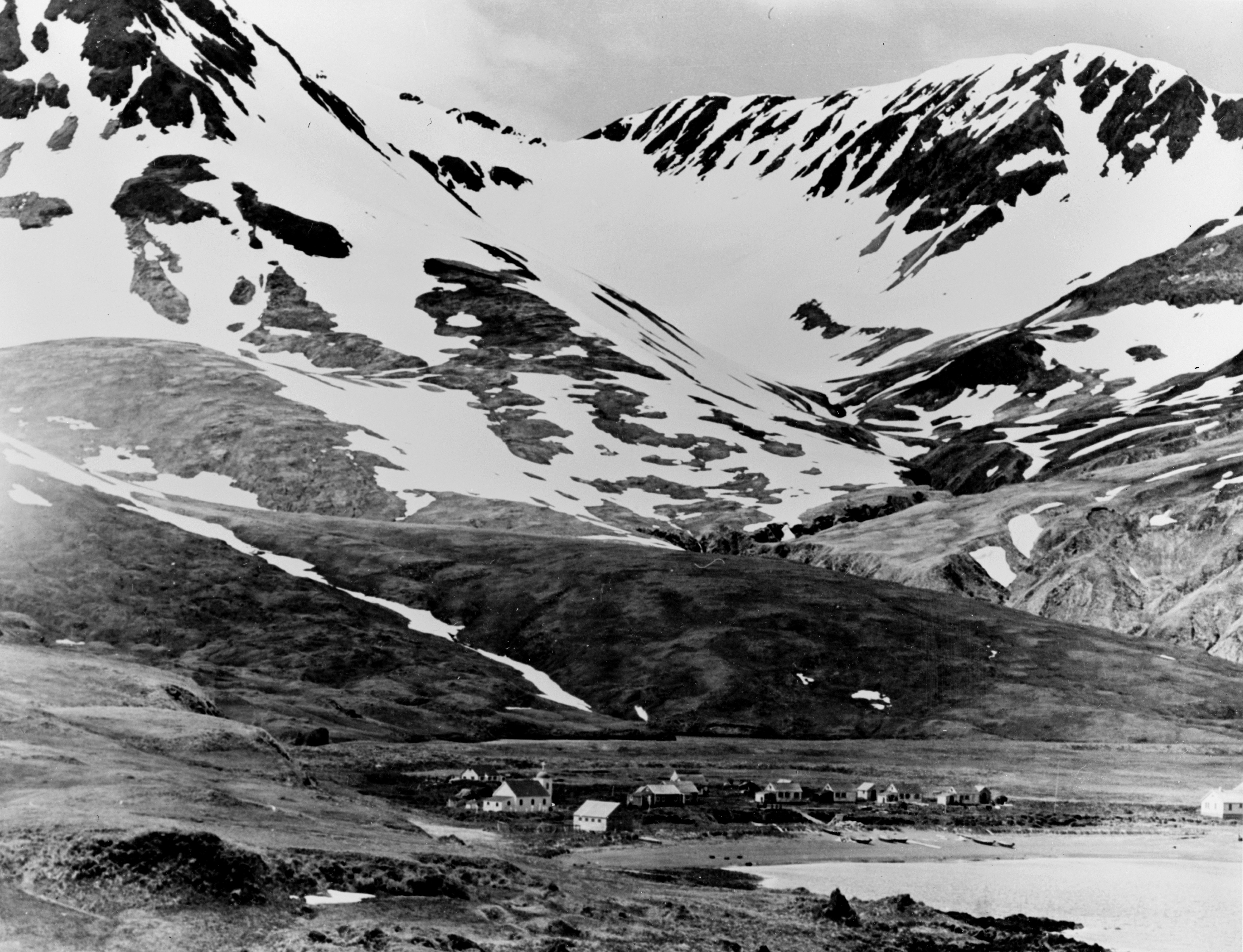
Attu ( ale, Atan, russian: Атту, link=no) is an island in the Near Islands (part of the Aleutian Islands chain). It is the westernmost point of the U.S. state of Alaska. The island became uninhabited in 2010, making it the largest uninhabited island to be politically part of the United States. (archived June 25, 2017) The Battle of Attu was the site of the only World War II land battle fought in the United States. The battlefield area is a U.S. National Historic Landmark. Attu Station, a former Coast Guard LORAN station, is located at , making it one of the westernmost points of the United States relative to the rest of the country. However, since it is in the Eastern Hemisphere, being on the opposite side of the 180° longitude line of the contiguous 48 states, it can also be considered one of the easternmost points of the country (a second Aleutian Island, Semisopochnoi Island at 179°46′E, is the easternmost location in the United States by this definition). For purpo ... [...More Info...] [...Related Items...] OR: [Wikipedia] [Google] [Baidu] |
Daihatsu-class Landing Craft
The was a type of landing craft used by the Imperial Japanese Army from 1937 to 1945, in the Second Sino-Japanese War and World War II. It was designated the "Type A" landing craft by the United States. History Daihatsu-class Landing Craft (大発動艇, Daihatsudōtei, translated: Large Powered Boat) was a landing craft of the Imperial Japanese Army, originally developed in 1924, further refined later on and also adopted to the Imperial Japanese Navy service. Boats were first used in combat on 29 February 1932, during the Shanghai incident landing IJA's 11th Division behind enemy lines blocking enemy from receiving supplies and reinforcements that led to a withdrawal of the Chinese 19th Route Army. This operation was studied carefully by USMC Victor Krulak, with photographs of the boats provided to Andrew Higgins who copied the design into LCVP. Landing craft were built till the end of World War 2, with one of the last reported combat uses being a supply delivery on the Kalada ... [...More Info...] [...Related Items...] OR: [Wikipedia] [Google] [Baidu] |
Chichijima
, native_name_link = , image_caption = Map of Chichijima, Anijima and Otoutojima , image_size = , pushpin_map = Japan complete , pushpin_label = Chichijima , pushpin_label_position = , pushpin_map_alt = , pushpin_relief = , pushpin_map_caption = , map_custom = , nickname = , location = Pacific Ocean , coordinates = , archipelago = Ogasawara Islands , total_islands = , major_islands = , area_km2 = 23.45 , length_km = , width_km = , coastline_km = , highest_mount = , elevation_m = 326 , country = Japan , country_admin_divisions_title = Prefecture , country_admin_divisions = Tokyo , country_admin_divisions_title_1 = Subprefecture , country_admin_divisions_1 = Ogasawara Subprefecture , country_admin_divisions_title_2 = Village , country_admin_divisions_2 = Ogasawara , populati ... [...More Info...] [...Related Items...] OR: [Wikipedia] [Google] [Baidu] |
Kuril Islands
The Kuril Islands or Kurile Islands (; rus, Кури́льские острова́, r=Kuril'skiye ostrova, p=kʊˈrʲilʲskʲɪjə ɐstrɐˈva; Japanese: or ) are a volcanic archipelago currently administered as part of Sakhalin Oblast in the Russian Far East. It stretches approximately northeast from Hokkaido in Japan to Kamchatka Peninsula in Russia separating the Sea of Okhotsk from the north Pacific Ocean. There are 56 islands and many minor rocks. The Kuril Islands consist of the Greater Kuril Chain and the Lesser Kuril Chain. They cover an area of around , with a population of roughly 20,000. The islands have been under Russian administration since their 1945 invasion as the Soviet Union towards the end of World War II. Japan claims the four southernmost islands, including two of the three largest ( Iturup and Kunashir), as part of its territory, as well as Shikotan and the Habomai islets, which has led to the ongoing Kuril Islands dispute. The disputed islands are k ... [...More Info...] [...Related Items...] OR: [Wikipedia] [Google] [Baidu] |
Hokkaido
is Japan's second largest island and comprises the largest and northernmost prefecture, making up its own region. The Tsugaru Strait separates Hokkaidō from Honshu; the two islands are connected by the undersea railway Seikan Tunnel. The largest city on Hokkaidō is its capital, Sapporo, which is also its only ordinance-designated city. Sakhalin lies about 43 kilometers (26 mi) to the north of Hokkaidō, and to the east and northeast are the Kuril Islands, which are administered by Russia, though the four most southerly are claimed by Japan. Hokkaidō was formerly known as ''Ezo'', ''Yezo'', ''Yeso'', or ''Yesso''. Nussbaum, Louis-Frédéric. (2005). "Hokkaidō" in Although there were Japanese settlers who ruled the southern tip of the island since the 16th century, Hokkaido was considered foreign territory that was inhabited by the indigenous people of the island, known as the Ainu people. While geographers such as Mogami Tokunai and Mamiya Rinzō explored the isla ... [...More Info...] [...Related Items...] OR: [Wikipedia] [Google] [Baidu] |
Yokosuka, Kanagawa
is a city in Kanagawa Prefecture, Japan. , the city has a population of 409,478, and a population density of . The total area is . Yokosuka is the 11th most populous city in the Greater Tokyo Area, and the 12th in the Kantō region. The city is host to United States Fleet Activities Yokosuka. Geography Yokosuka occupies most of Miura Peninsula, and is bordered by the mouth of Tokyo Bay to the east and Sagami Bay on the Pacific Ocean on the west. Surrounding municipalities * Kanazawa-ku, Yokohama * Miura * Hayama * Zushi History Pre-modern period Archaeologists have found stone tools and shell middens from the Japanese Paleolithic period and ceramic shards from the Jōmon and Kofun periods at numerous locations in the area. During the Heian period, local warlord Muraoka Tamemichi established Kinugasa Castle in 1063. He became the ancestor of the Miura clan, which subsequently dominated eastern Sagami Province for the next several hundred years. The Miura clan supported ... [...More Info...] [...Related Items...] OR: [Wikipedia] [Google] [Baidu] |
Maizuru
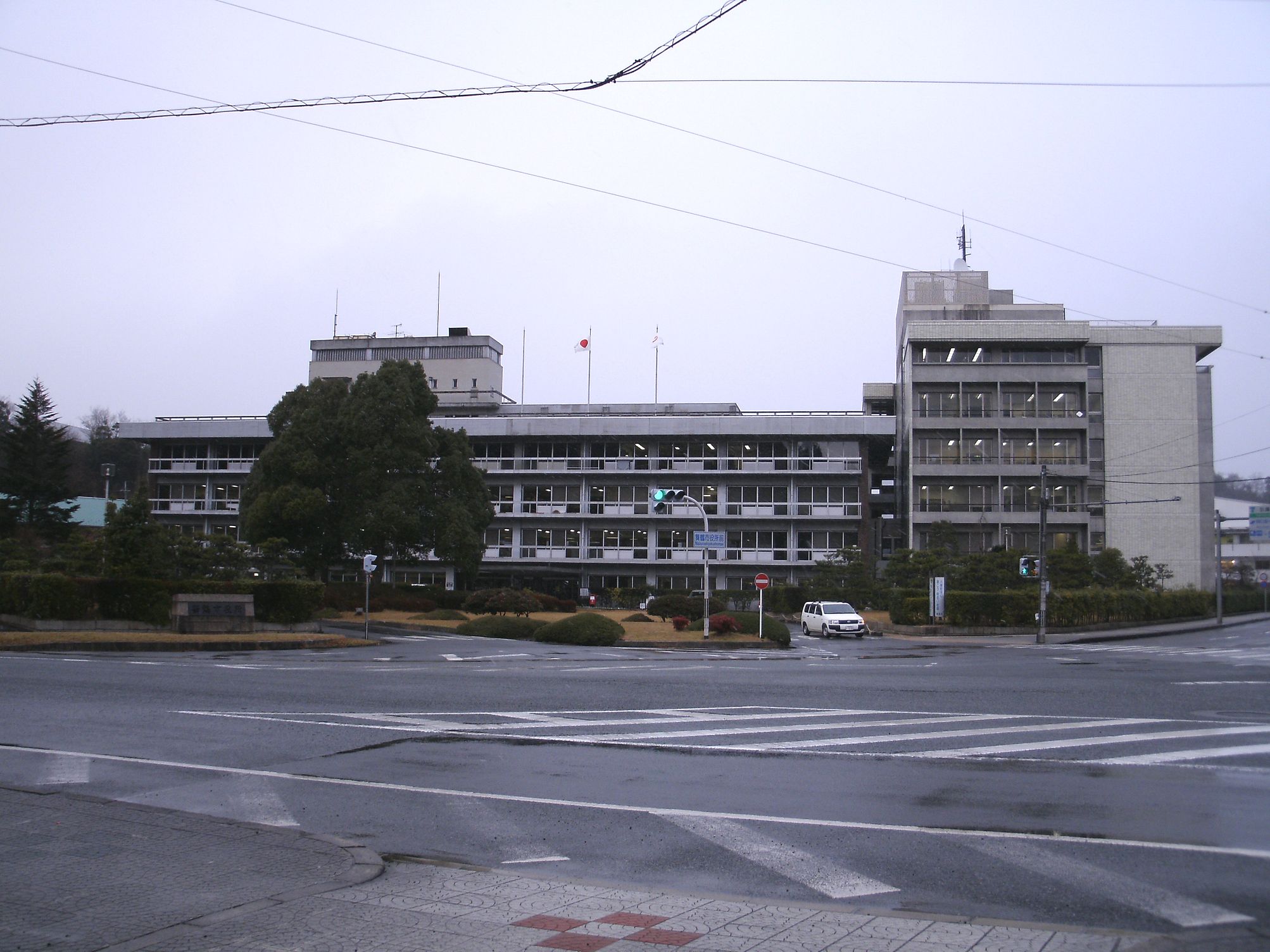
is a city in Kyoto Prefecture, Japan. , the city had an estimated population of 78,644 in 34817 households and a population density of 230 persons per km². The total area of the city is . Geography Maizuru is located in northern Kyoto Prefecture, facing scenic Maizuru Bay on the Sea of Japan to the north and Fukui Prefecture to the east. Neighboring municipalities Kyoto Prefecture * Ayabe * Miyazu *Fukuchiyama Fukui Prefecture * Takahama Climate Like Toyooka in Hyōgo Prefecture, Maizuru has a climate resembling the Hokuriku region rather than the rest of Kansai, though it is less wet than other Hokuriku towns during the late autumn and winter because its location on a deep inlet means the northerly winds driven by the Siberian High and Aleutian Low do not produce as much rain and/or snow. In the summer, however, Maizuru can be extremely oppressive as the intense radiation creates extreme humidity around the bay: on August 13, 1994 the town recorded a ''minimum'' temper ... [...More Info...] [...Related Items...] OR: [Wikipedia] [Google] [Baidu] |
Maizuru Naval District
was one of four main administrative districts of the pre-war Imperial Japanese Navy. Its territory included the entire Sea of Japan coastline from northern Kyūshū to western Hokkaidō. History The strategic importance of the location of Maizuru, Kyoto, Maizuru and its potential for development into a military port for operations in the Sea of Japan towards Korea, Russia and even China was early recognized by the Imperial Japanese Navy. During the administrative re-organization of the Navy in 1889, Maizuru was designated as the headquarters of the ''Fourth Naval District'' (, ''dai-yon kaigunku''), and its harbor was dredged, a Breakwater (structure), breakwater constructed and docking facilities for warships were established. With the First Sino-Japanese War, the port was fortified with the addition of heavy coastal artillery. However, the naval bases at Sasebo and Kure, Hiroshima, Kure were geographically more convenient for the Navy during the war, and received the bulk of th ... [...More Info...] [...Related Items...] OR: [Wikipedia] [Google] [Baidu] |
Newspapers
A newspaper is a periodical publication containing written information about current events and is often typed in black ink with a white or gray background. Newspapers can cover a wide variety of fields such as politics, business, sports and art, and often include materials such as opinion columns, weather forecasts, reviews of local services, obituaries, birth notices, crosswords, editorial cartoons, comic strips, and advice columns. Most newspapers are businesses, and they pay their expenses with a mixture of subscription revenue, newsstand sales, and advertising revenue. The journalism organizations that publish newspapers are themselves often metonymically called newspapers. Newspapers have traditionally been published in print (usually on cheap, low-grade paper called newsprint). However, today most newspapers are also published on websites as online newspapers, and some have even abandoned their print versions entirely. Newspapers developed in the 17th ... [...More Info...] [...Related Items...] OR: [Wikipedia] [Google] [Baidu] |
SS President Coolidge
SS ''President Coolidge'' was an American luxury ocean liner that was completed in 1931. She was operated by Dollar Steamship Lines until 1938, and then by American President Lines until 1941. She served as a troopship from December 1941 until October 1942, when she was sunk by mines in Espiritu Santo in the New Hebrides at the Espiritu Santo Naval Base, part of current-day Vanuatu. ''President Coolidge'' had a sister ship, , completed in 1930 and lost when she ran aground in a typhoon in 1937. History Building Dollar Lines ordered both ships on 26 October 1929. The Newport News Shipbuilding and Drydock Company of Newport News, Virginia built the two ships, completing ''President Hoover'' in 1930. The keel for ''President Coolidge'' was laid 22 April 1930 and the ship was delivered 1 October 1931. They were the largest merchant ships built in the United States up to that time. Each ship had turbo-electric transmission, with a pair of steam turbo generators generating current ... [...More Info...] [...Related Items...] OR: [Wikipedia] [Google] [Baidu] |


