|
New York State Route 296
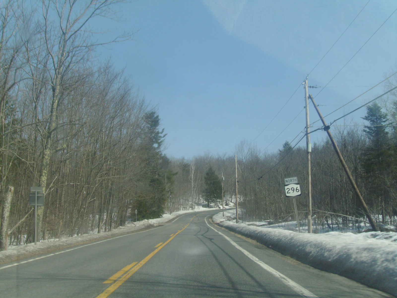
New York State Route 296 (NY 296) is a north–south state highway located entirely within both the Catskill Park and Greene County, New York, in the United States. It connects NY 23A in the village of Hunter with NY 23 near the Windham hamlet of Hensonville. The route follows a mountainous track between the two locations, climbing up from the Schoharie Creek valley before descending again into the Batavia Kill watershed. NY 296 was assigned as part of the 1930 renumbering of state highways in New York; however, the highway had been state-maintained since the early 1910s. Route description NY 296 begins at an intersection with NY 23A (Main Street) along the banks of Schoharie Creek just west of the village of Hunter in the town of Hunter. Located within the Catskill Forest Preserve, NY 296 passes the small Hunter Airport, where views of Rusk Mountain are visible. Winding into the town of Jewett, NY 296 is a two-lane asp ... [...More Info...] [...Related Items...] OR: [Wikipedia] [Google] [Baidu] |
Hunter (village), New York
Hunter is a village in Greene County, New York, United States. The population was 429 at the 2020 census, down from 502 at the 2010 census. The village is in the northwestern part of the town of Hunter on Route 23A. History The community was initially called "Edwardsville" after William Edwards, who founded the village by building a tannery there. The village was incorporated in 1896. Geography Hunter is located in western Greene County at (42.208549, -74.21398), within the Catskill Mountains, in the valley of Schoharie Creek. New York State Route 23A is the village's Main Street, leading east to Tannersville and to Catskill. To the west NY 23A leads down Schoharie Creek to Prattsville. According to the United States Census Bureau, the village has a total area of , of which is land and , or 1.81%, is water. Demographics As of the census of 2000, there were 490 people, 238 households, and 123 families residing in the village. The population density was 303.0 peopl ... [...More Info...] [...Related Items...] OR: [Wikipedia] [Google] [Baidu] |
East Kill
East Kill, a tributary of Schoharie Creek, flows across the town of Jewett, New York, United States, from its source on Stoppel Point. Ultimately its waters reach the Hudson River via the Mohawk. Since it drains into the Schoharie upstream of Schoharie Reservoir, it is part of the New York City water supply system. East Kill drains the southern slopes of the Blackhead Mountains, which include Thomas Cole Mountain, Black Dome, and Blackhead Mountain, the fourth-, third-, and fifth-highest peaks in the Catskills, respectively. The East Kill's watershed accounts for 3.9 percent of the Schoharie basin and is located near the southern end of that creek's watershed. Course East Kill begins as a mountainous stream dropping approximately in its first mile, then reduces in slope to dropping about over the next mile. The remainder of the creek drops to an average slope of per mile until it reaches its confluence with Schoharie Creek. East Kill begins on the northwestern slope ... [...More Info...] [...Related Items...] OR: [Wikipedia] [Google] [Baidu] |
General Drafting
General Drafting Corporation of Convent Station, New Jersey, founded by Otto G. Lindberg in 1909, was one of the "Big Three" road map publishers in the United States from 1930 to 1970, along with H.M. Gousha and Rand McNally.General Drafting Co., Inc. company brochure, 1982. Unlike the other two, General Drafting did not sell its maps to a variety of smaller customers, but was the exclusive publisher of maps for Standard Oil of New Jersey, later Esso and Exxon. They also published maps for Standard Oil Company of Kentucky a.k.a. KYSO. KYSO later merged with Standard Oil Company of California better known as Chevron and SOCAL primarily used The H.M. Gousha company for their roadmaps. Lindberg was a young immigrant from Finland and, with a borrowed drafting board and a $500.00 loan from his father, the then 23-yr. old started the business of "any and all general draughting" at 170 Broadway in NYC in 1909. As the firm started to prosper, the company secured its first contract from ... [...More Info...] [...Related Items...] OR: [Wikipedia] [Google] [Baidu] |
Standard Oil Company Of New York
Standard may refer to: Symbols * Colours, standards and guidons, kinds of military signs * Standard (emblem), a type of a large symbol or emblem used for identification Norms, conventions or requirements * Standard (metrology), an object that bears a defined relationship to a unit of measure used for calibration of measuring devices * Standard (timber unit), an obsolete measure of timber used in trade * Breed standard (also called bench standard), in animal fancy and animal husbandry * BioCompute Standard, a standard for next generation sequencing * ''De facto'' standard, product or system with market dominance * Gold standard, a monetary system based on gold; also used metaphorically for the best of several options, against which the others are measured * Internet Standard, a specification ratified as an open standard by the Internet Engineering Task Force * Learning standards, standards applied to education content * Standard displacement, a naval term describing the weig ... [...More Info...] [...Related Items...] OR: [Wikipedia] [Google] [Baidu] |
Albany, New York
Albany ( ) is the capital of the U.S. state of New York, also the seat and largest city of Albany County. Albany is on the west bank of the Hudson River, about south of its confluence with the Mohawk River, and about north of New York City. The city is known for its architecture, commerce, culture, institutions of higher education, and rich history. It is the economic and cultural core of the Capital District of the State of New York, which comprises the Albany–Schenectady–Troy Metropolitan Statistical Area, including the nearby cities and suburbs of Troy, Schenectady, and Saratoga Springs. With an estimated population of 1.1 million in 2013, the Capital District is the third most populous metropolitan region in the state. As of 2020, Albany's population was 99,224. The Hudson River area was originally inhabited by Algonquian-speaking Mohican (Mahican), who called it ''Pempotowwuthut-Muhhcanneuw''. The area was settled by Dutch colonists who, in 1614, built Fort ... [...More Info...] [...Related Items...] OR: [Wikipedia] [Google] [Baidu] |
Unsigned Highway
Road sign along Aurora_to_exit_the_freeway._The_road_at_this_exit_is_officially_designated_Sigurd_and_Aurora,_Utah">Aurora_to_exit_the_freeway._The_road_at_this_exit_is_officially_designated_Utah_State_Route_259">SR 259,_a_short_connector;_however,_the_sign_instead_shows_Utah_State_Route_24.html" "title="Utah_State_Route_259.html" ;"title="Aurora,_Utah.html" "title="Sigurd,_Utah.html" "title="Interstate 70 in Utah signaling traffic destined for the towns of Sigurd, Utah">Sigurd and Aurora, Utah">Aurora to exit the freeway. The road at this exit is officially designated Utah State Route 259">SR 259, a short connector; however, the sign instead shows Utah State Route 24">SR 24, the highway at the other end of the connector. An unsigned highway is a highway that has been assigned a route number, but does not bear road markings that would conventionally be used to identify the route with that number. Highways are left unsigned for a variety of reasons, and examples are fou ... [...More Info...] [...Related Items...] OR: [Wikipedia] [Google] [Baidu] |
Windham (CDP), New York
Windham is a hamlet and census-designated place (CDP) in the town of Windham, Greene County, New York, United States. The population of the CDP was 371 at the 2020 census, out of a total of 1,708 people in the town.U.S. Census Bureau, 2020 census results, Windham CDP. https://www.census.gov/search-results.html?searchType=web&cssp=SERP&q=Windham%20CDP,%20New%20York The community of Windham is in the western part of the town, on Route 23. It was formerly known by several other names, including "Batavia", "Osbornville", and "Windham Center". Geography Windham is located at (42.311591, -74.247116), in the valley of the Batavia Kill, a westward-flowing tributary of Schoharie Creek and part of the Mohawk River watershed. The hamlet is at the northern boundary of the Catskill Park. According to the United States Census Bureau, the Windham CDP has a total area of , all land. Demographics As of the census of 2000, there were 359 people, 172 households, and 97 families residing in t ... [...More Info...] [...Related Items...] OR: [Wikipedia] [Google] [Baidu] |
County Route 12 (Greene County, New York)
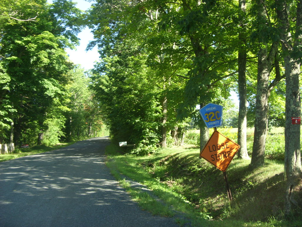
County routes in Greene County, New York, are signed with the Manual on Uniform Traffic Control Devices-standard yellow-on-blue pentagon route marker. Routes 1–40 Routes 41 and up See also *County routes in New York References {{reflist, refs={{cite web, url=https://www.dot.ny.gov/divisions/engineering/technical-services/hds-respository/NYSDOT_2021_LHI_County_Roads_Greene_County.pdf, title=County Roads Listing - Greene County, publisher=New York State Department of Transportation, access-date=August 13, 2021, date=June 22, 2021 County routes in Greene County, New York, ... [...More Info...] [...Related Items...] OR: [Wikipedia] [Google] [Baidu] |
Windham (town), New York
Windham is a town in Greene County, New York, United States. The population was 1,703 at the 2010 census. The town was probably named for the town or county of Windham, Connecticut, as many of its earliest settlers came from that state as well as other parts of New England. The town has two nicknames: "Land in the Sky" and "Gem of the Catskills". Windham is in the west-central part of the county on the northern boundary of the Catskill Park. History The region was first settled around 1780. The town was formed from the town of Woodstock in 1798 while still part of Ulster County. After the formation of Greene County, several other towns were formed from parts of Windham. These towns include Hunter and Lexington (1813), Prattsville (1833), and part of Ashland in 1848. In 1900, the town's population was 1,240. In 1937, Camp Highland, a Nazi summer camp for German-American boys, ran at a site near Windham, NY. The major source of income in Windham is the Windham Mountain ski re ... [...More Info...] [...Related Items...] OR: [Wikipedia] [Google] [Baidu] |
County Route 65 (Greene County, New York)
County routes in Greene County, New York, are signed with the Manual on Uniform Traffic Control Devices-standard yellow-on-blue pentagon route marker. Routes 1–40 Routes 41 and up See also *County routes in New York References {{reflist, refs={{cite web, url=https://www.dot.ny.gov/divisions/engineering/technical-services/hds-respository/NYSDOT_2021_LHI_County_Roads_Greene_County.pdf, title=County Roads Listing - Greene County, publisher=New York State Department of Transportation The New York State Department of Transportation (NYSDOT) is the department of the New York state government responsible for the development and operation of highways, railroads, mass transit systems, ports, waterways and aviation facilities in ..., access-date=August 13, 2021, date=June 22, 2021 ... [...More Info...] [...Related Items...] OR: [Wikipedia] [Google] [Baidu] |
Right-of-way (transportation)
A right-of-way (ROW) is a right to make a way over a piece of land, usually to and from another piece of land. A right of way is a type of easement granted or reserved over the land for transportation purposes, such as a highway, public footpath, rail transport, canal, as well as electrical transmission lines, oil and gas pipelines. In the case of an easement, it may revert to its original owners if the facility is abandoned. This American English term is also used to denote the land itself. A right of way is granted or reserved over the land for transportation purposes, usually for private access to private land and, historically for a highway, public footpath, rail transport, canal, as well as electrical transmission lines, oil and gas pipelines.Henry Campbell Black: ''Right-of-way.'' In''A law dictionary containing definitions of the terms and phrases of American and English jurisprudence, ancient and modern: and including the principal terms of international, constitutio ... [...More Info...] [...Related Items...] OR: [Wikipedia] [Google] [Baidu] |
County Route 40 (Greene County, New York)
County routes in Greene County, New York, are signed with the Manual on Uniform Traffic Control Devices-standard yellow-on-blue pentagon route marker. Routes 1–40 Routes 41 and up See also *County routes in New York References {{reflist, refs={{cite web, url=https://www.dot.ny.gov/divisions/engineering/technical-services/hds-respository/NYSDOT_2021_LHI_County_Roads_Greene_County.pdf, title=County Roads Listing - Greene County, publisher=New York State Department of Transportation The New York State Department of Transportation (NYSDOT) is the department of the New York state government responsible for the development and operation of highways, railroads, mass transit systems, ports, waterways and aviation facilities in ..., access-date=August 13, 2021, date=June 22, 2021 ... [...More Info...] [...Related Items...] OR: [Wikipedia] [Google] [Baidu] |


