|
Nethermost Pike
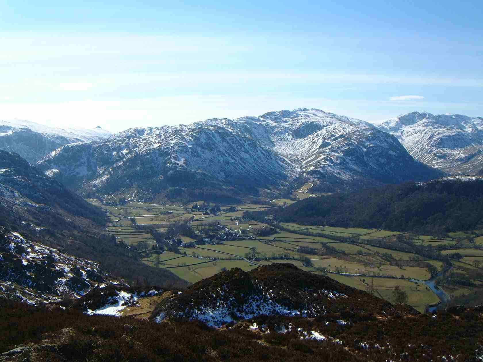
Nethermost Pike is a fell in Cumbria, England, and a part of the Lake District. At it is the second highest Wainwright in the Helvellyn range, the highest of which is Helvellyn itself. It is located close to the southern end of the ridge, with Helvellyn to the north, and High Crag and Dollywaggon Pike to the south. Nethermost Pike, along with many of the Eastern Fells, lies between Thirlmere in the west and the Ullswater catchment in the east. The closest villages are Glenridding and Patterdale on the shores of Ullswater, over away. Like most fells in the Helvellyn range, Nethermost Pike has grassy western slopes and rocky outcrops on the eastern side. Geologically, Nethermost Pike belongs to the Borrowdale Volcanic Group. Lead was once mined on its eastern slopes, resulting in open workings and underground mines. The eastern slopes are protected as part of a Site of Special Scientific Interest because of the Pike's geological and biological features, which include some of E ... [...More Info...] [...Related Items...] OR: [Wikipedia] [Google] [Baidu] |
Helvellyn
Helvellyn (; possible meaning: ''pale yellow moorland'') is a mountain in the English Lake District, the highest point of the Helvellyn range, a north–south line of mountains to the north of Ambleside, between the lakes of Thirlmere and Ullswater. Helvellyn is the third-highest point both in England and in the Lake District, and access to Helvellyn is easier than to the two higher peaks of Scafell Pike and Scafell. The scenery includes three deep glacial coves and two sharp-topped ridges on the eastern side (Striding Edge and Swirral Edge). Helvellyn was one of the earliest fells to prove popular with walkers and explorers; beginning especially in the later 18th century. Among the early visitors to Helvellyn were the poets Samuel Taylor Coleridge and William Wordsworth, both of whom lived nearby at one period. Many routes up the mountain are possible so that it may be approached from all directions. However, traversing the mountain is not without dangers; over the last two h ... [...More Info...] [...Related Items...] OR: [Wikipedia] [Google] [Baidu] |
Borrowdale Volcanic Group
The Borrowdale Volcanic Group is a group of igneous rock formations named after the Borrowdale area of the Lake District, in England. They are Caradocian (late Ordovician) in age (roughly 450 million years old). It is thought that they represent the remains of a volcanic island arc, approximately similar to the island arcs of the west Pacific today. This developed as oceanic crust to the (present) north-west and was forced by crustal movement under a continental land-mass to the present south-east. Such forcing under, as two plates meet, is termed subduction. This land-mass has been named Avalonia by geologists. It is now incorporated into England and Wales and a sliver of North America. Geology At that time the rocks that now comprise most of Scotland (and part of the northern Irish landmass) were not attached to Avalonia. They were separated by an ocean, called the Iapetus Ocean by geologists. The line of joining, or suture, is approximately under the Solway Firth and Cheviot ... [...More Info...] [...Related Items...] OR: [Wikipedia] [Google] [Baidu] |
A Pictorial Guide To The Lakeland Fells
''A Pictorial Guide to the Lakeland Fells'' is a series of seven books by A. Wainwright, detailing the fells (the local word for hills and mountains) of the Lake District in northwest England. Written over a period of 13 years from 1952, they consist entirely of reproductions of Wainwright's manuscript, hand-produced in pen and ink with no typeset material. The series has been in print almost continuously since it was first published between 1955 and 1966, with more than 2 million copies sold. It is still regarded by many walkers as the definitive guide to the Lakeland mountains. The 214 fells described in the seven volumes have become known as the Wainwrights. the LDWA register of those who have climbed all the fells listed 674 names. The Wainwright Society maintains a "register of current Society members who have climbed all 214 fells". First editions The first five books were originally published by Wainwright's friend, Henry Marshall, Chief Librarian of Kendal and West ... [...More Info...] [...Related Items...] OR: [Wikipedia] [Google] [Baidu] |
Wainwrights
Wainwrights are the 214 English peaks (known locally as ''fells'') described in Alfred Wainwright's seven-volume ''Pictorial Guide to the Lakeland Fells'' (1955–66). They all lie within the boundary of the Lake District National Park in Cumbria, and all but one (Castle Crag) are over in height. Over two million copies of the ''Pictorial Guides'' have been sold since their publication. In 1974, Wainwright published a supplementary volume ''The Outlying Fells of Lakeland'' (1974), which includes another 116 summits (described in 56 walks); these are the Wainwright Outlying Fells. Summiting all of the Wainwrights is a popular form of peak bagging in the Lake District, along with the Birketts. Because both lists are based on historical books, unlike, for example, the Munros, their constituents remain fixed, regardless of revisions to height or other metrics. In this regard, they are similar to the Scottish lowlands, Donalds. There are 214 Wainwrights, of which 209 are also c ... [...More Info...] [...Related Items...] OR: [Wikipedia] [Google] [Baidu] |

