|
Narsdorf
Narsdorf is a former municipality in the Leipzig district, in Saxony, Germany. As of 1 July 2017 Narsdorf has been incorporated into Geithain. The villages of Ossa (with Bruchheim, Kolka, Wenigossa, and Niederpickenhain), and Rathendorf (with Oberpickenhain) had been incorporated administratively into Narsdorf in 1996, while nearby Seifersdorf had already been incorporated in 1934 and Dölitzsch in 1973.Informationen über Narsdorf beim Landkreis Leipzig Geography Narsdorf is located about 42 km south-southeast of and 25 km north-northwest of Che ...[...More Info...] [...Related Items...] OR: [Wikipedia] [Google] [Baidu] |
Rochlitz–Penig Railway
The Rochlitz–Penig railway was a 21 km long branchline in Saxony from Rochlitz via Narsdorf to Penig which opened in 1872 and connected the railway lines Neukieritzsch–Chemnitz and Glauchau–Wurzen. Its Narsdorf–Penig section was decommissioned in 1998 and has been lifted, the remainder was decommissioned in 2000. History The line was opened on 8 April 1872 together with the Neukieritzsch–Chemnitz railway. Its purpose was to connect the settlements and the industries in the valley of Zwickauer Mulde, which at that time had no railway yet, to the mainline on the plateau above the river. The Muldentalbahn was only opened four years later on 29 May 1876. From 19 August 1947 on trains only ran between Narsdorf and Penig, the section between Rochlitz and Narsdorf had been lifted for war reparations. The latter was relaid until 1965 and was initially only used for freight trains and for light engine movements, until passenger traffic was resumed in summer 1969, initially ... [...More Info...] [...Related Items...] OR: [Wikipedia] [Google] [Baidu] |
Geithain
Geithain is a town in the Leipzig district, in Saxony, Germany. Geography Geithain is northwest of Chemnitz and southeast of Leipzig. It lies in hilly country by the wooded area Wickershain and the river Eula. History The first documented mention of the town was in the year 1186 in a document, which described the donation of earnings from the Wickershainer Marion Church to the Bishop of Merseburg through the Duke Dedo of Rochlitz. The name of the town has its origins in the Old Sorbian word "Chytan" (Chyten) and describes the place of Chyten, where "Chyt" (Chit) is a Sorbian first name. In 1209 there was another documented mention of Geithain and the already established Nicolai Church. In this year the establishment of a hospital and a chapel (of St. James) was ordered by Lord Randall of the Guests Keep (1190–1210), the Margrave of Lausitz. Also, although Geithain is described as a town in this document, a charter with the first mayor (Wiebke Drechsler) is first evident fo ... [...More Info...] [...Related Items...] OR: [Wikipedia] [Google] [Baidu] |
Clay Pit
A clay pit is a quarry or mine for the extraction of clay, which is generally used for manufacturing pottery, bricks or Portland cement. Quarries where clay is mined to make bricks are sometimes called brick pits. A brickyard or brickworks is often located alongside a clay pit to reduce the transport costs of the raw material. Today, pottery producers are often not sited near the source of their clay and usually do not own the clay deposits. In these industries, the other essential raw material is fuel for firing and potteries may be located near to fuel sources. Former claypits are sometimes filled with water and used for recreational purposes such as sailing and scuba diving. The Eden Project at Bodelva near St Austell, Cornwall, UK is a major redevelopment of a former china clay (kaolin) pit for educational and environmental purposes. See also * Cattybrook Brickpit *History of Banbury, Oxfordshire Banbury is a circa 1,500-year-old market town and Civil parish ... [...More Info...] [...Related Items...] OR: [Wikipedia] [Google] [Baidu] |
Manorialism
Manorialism, also known as the manor system or manorial system, was the method of land ownership (or "tenure") in parts of Europe, notably France and later England, during the Middle Ages. Its defining features included a large, sometimes fortified manor house in which the lord of the manor and his dependents lived and administered a rural estate, and a population of labourers who worked the surrounding land to support themselves and the lord. These labourers fulfilled their obligations with labour time or in-kind produce at first, and later by cash payment as commercial activity increased. Manorialism is sometimes included as part of the feudal system. Manorialism originated in the Roman villa system of the Late Roman Empire, and was widely practiced in medieval western Europe and parts of central Europe. An essential element of feudal society, manorialism was slowly replaced by the advent of a money-based market economy and new forms of agrarian contract. In examining the ... [...More Info...] [...Related Items...] OR: [Wikipedia] [Google] [Baidu] |
Königsfeld, Saxony
Königsfeld is a municipality in the district of Mittelsachsen, in Saxony, Germany Germany,, officially the Federal Republic of Germany, is a country in Central Europe. It is the second most populous country in Europe after Russia, and the most populous member state of the European Union. Germany is situated betwe .... References Mittelsachsen {{Mittelsachsen-geo-stub uz:Königsfeld ... [...More Info...] [...Related Items...] OR: [Wikipedia] [Google] [Baidu] |
Nucleated Village
A nucleated village, or clustered settlement, is one of the main types of settlement pattern. It is one of the terms used by geographers and landscape historians to classify settlements. It is most accurate with regard to planned settlements: its concept is one in which the houses, even most farmhouses within the entire associated area of land, such as a parish, cluster around a central church, which is close to the village green. Other focal points can be substituted depending on cultures and location, such as a commercial square, circus, crescent, a railway station, park or a sports stadium. A clustered settlement contrasts with these: *dispersed settlement *linear settlement *polyfocal settlement, two (or more) adjacent nucleated villages that have expanded and merged to form a cohesive overall community A sub-category of clustered settlement is a planned village or community, deliberately established by landowners or the stated and enforced planning policy of local authoriti ... [...More Info...] [...Related Items...] OR: [Wikipedia] [Google] [Baidu] |
Plague (disease)
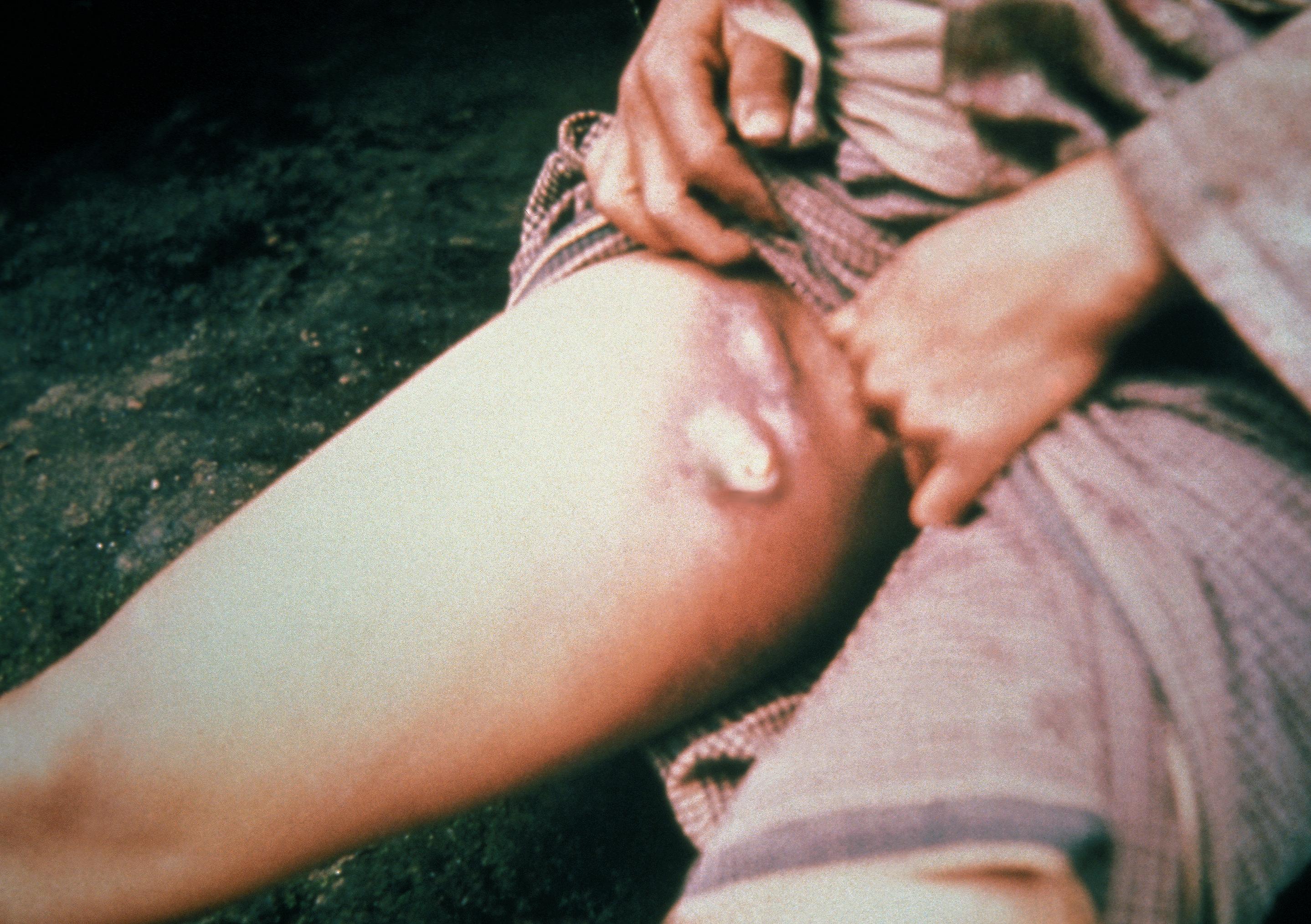
Plague is an infectious disease caused by the bacterium ''Yersinia pestis''. Symptoms include fever, weakness and headache. Usually this begins one to seven days after exposure. There are three forms of plague, each affecting a different part of the body and causing associated symptoms. Pneumonic plague infects the lungs, causing shortness of breath, coughing and chest pain; bubonic plague affects the lymph nodes, making them swell; and septicemic plague infects the blood and can cause tissues to turn black and die. The bubonic and septicemic forms are generally spread by flea bites or handling an infected animal, whereas pneumonic plague is generally spread between people through the air via infectious droplets. Diagnosis is typically by finding the bacterium in fluid from a lymph node, blood or sputum. Those at high risk may be vaccinated. Those exposed to a case of pneumonic plague may be treated with preventive medication. If infected, treatment is with antibiotic ... [...More Info...] [...Related Items...] OR: [Wikipedia] [Google] [Baidu] |
Ostsiedlung
(, literally "East-settling") is the term for the Early Medieval and High Medieval migration-period when ethnic Germans moved into the territories in the eastern part of Francia, East Francia, and the Holy Roman Empire (that Germans had already conquered) and beyond; and the consequences for settlement development and social structures in the areas of immigration. Generally sparsely and only relatively recently populated by Slavic, Baltic and Finnic peoples, the area of colonization, also known as , encompassed (with relation to modern-day countries) Germany east of the Saale and Elbe rivers, the states of Lower Austria and Styria in Austria, the Baltics, Poland, the Czech Republic, Slovakia, Slovenia, Hungary, and Transylvania in Romania. Since the 1980s, historians have interpreted the as a part of a civil and social development, termed the ''High Middle Age Land Consolidation'' ( de , Hochmittelalterlicher Landesausbau). In a pan-European intensification proce ... [...More Info...] [...Related Items...] OR: [Wikipedia] [Google] [Baidu] |
Rochlitz
Rochlitz (; hsb, Rochlica) is a major district town (Große Kreisstadt) in the district of Mittelsachsen, in Saxony, Germany. Rochlitz is the head of the "municipal partnership Rochlitz" (Verwaltungsgemeinschaft Rochlitz) with its other members being the municipalities of Königsfeld, Seelitz and Zettlitz. Geography Location The town is situated on a bend of the river Zwickauer Mulde and at the foot of Rochlitzer Berg, 26 km northwest of Chemnitz and 45 km from Leipzig or Zwickau. Geology Rochlitz is situated in the Natural Region ''Sächsisches Lössgefilde'' ("Saxon Loess country") and its sub-region ''Mulde-Lösshügelland'' ("Mulde Loess hill country"). Rochlitzer Berg (ca. 349 m ( NHN)) is of Rotliegend volcanic origin (latest Carboniferous to Guadalupian) and consists to a large extent of so-called ''Rochlitzer Porphyr'', a rhyolitic tuff or ignimbrite. Due to its colour and structure, this rock is used in representative buildings in the wider region like ... [...More Info...] [...Related Items...] OR: [Wikipedia] [Google] [Baidu] |
Borna, Leipzig
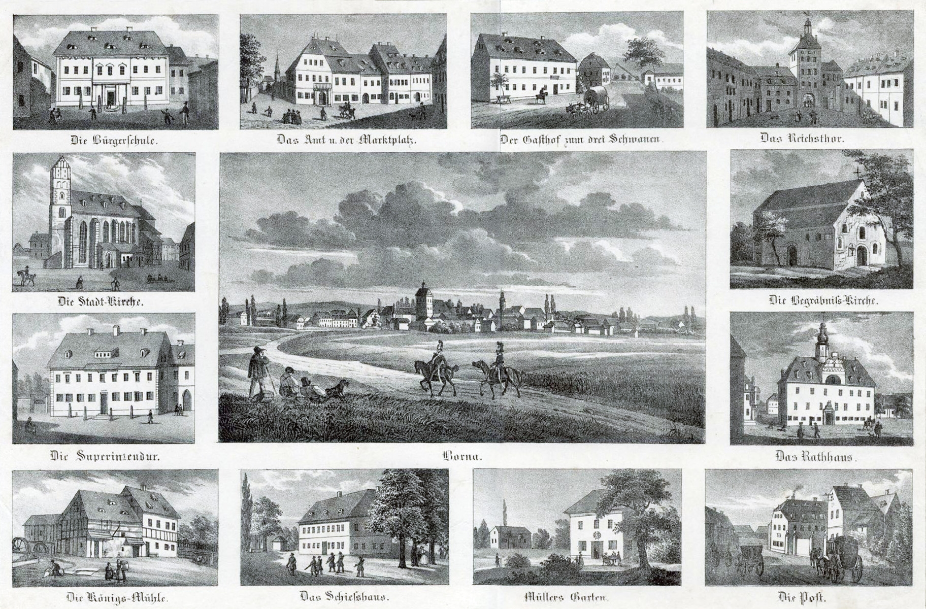
Borna () is a town in Saxony, Germany, capital of the Leipzig district. It is situated approximately 30 km southeast of Leipzig city. It has approx. 19,000 inhabitants. The town is the district seat of the district of Leipzig. Geography Borna is located about south of Leipzig. The river Wyhra flows through the town. The surrounding landscape has been influenced by open-cast coal mining. The town lies in the middle of Central German Metropolitan Region, with Leipzig distant, Gera , Chemnitz , Halle , and Dresden . Neighboring large towns are Altenburg, away, Grimma, and Zeitz . History Pre-history and Middle Ages The current site of Borna town was originally two settlements; Altstadt (the old town) and Wenigborn. Before the foundation of the town, there had been a water castle since the 9th Century. The first written mention of the town of Borna was recorded in 1251. Borna was burnt to the ground five times during the wars of the Middle Ages. 19th Century Onwards Si ... [...More Info...] [...Related Items...] OR: [Wikipedia] [Google] [Baidu] |
Amt (country Subdivision)
Amt is a type of administrative division governing a group of municipalities, today only in Germany, but formerly also common in other countries of Northern Europe. Its size and functions differ by country and the term is roughly equivalent to a US township or county or English shire district. Current usage Germany Prevalence The ''Amt'' (plural: ''Ämter'') is unique to the German '' Bundesländer'' (federal states) of Schleswig-Holstein, Mecklenburg-Western Pomerania and Brandenburg. Other German states had this division in the past. Some states have similar administrative units called ''Samtgemeinde'' (Lower Saxony), '' Verbandsgemeinde'' (Rhineland-Palatinate) or ''Verwaltungsgemeinschaft'' (Baden-Württemberg, Bavaria, Saxony, Saxony-Anhalt, Thuringia). Definition An ''Amt'', as well as the other above-mentioned units, is subordinate to a ''Kreis'' (district) and is a collection of municipalities. The amt is lower than district-level government but higher than municip ... [...More Info...] [...Related Items...] OR: [Wikipedia] [Google] [Baidu] |


