|
Nový Jičín District
Nový Jičín District () is a district in the Moravian-Silesian Region of the Czech Republic. Its capital is the town of Nový Jičín. Administrative division Nový Jičín District is divided into five administrative districts of municipalities with extended competence: Nový Jičín, Bílovec, Frenštát pod Radhoštěm, Kopřivnice and Odry. List of municipalities Towns are marked in bold and market towns in ''italics'': Albrechtičky - Bartošovice - Bernartice nad Odrou - Bílov - Bílovec - Bítov - Bordovice - Bravantice - Frenštát pod Radhoštěm - Fulnek - Heřmanice u Oder - Heřmánky - Hladké Životice - Hodslavice - Hostašovice - Jakubčovice nad Odrou - Jeseník nad Odrou - Jistebník - Kateřinice - Kopřivnice - Kujavy - Kunín - Libhošť - Lichnov - Luboměř - Mankovice - Mořkov - Mošnov - Nový Jičín - Odry - Petřvald - Příbor - Pustějov - Rybí - Sedlnice - Šenov u Nového Jičína - Skotnice - Slatina - '' Sp ... [...More Info...] [...Related Items...] OR: [Wikipedia] [Google] [Baidu] |
Districts Of The Czech Republic
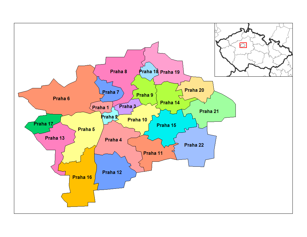
Districts of the Czech Republic are territorial units, formerly used as second-level administrative divisions of the Czech Republic. After their primary administrative function has been abolished in 2003, they still exist for the activities of specific authorities and as statistical units. Their administrative function was moved to selected municipalities. Establishment In 1960, Czechoslovakia was re-divided into districts (''okres'', Grammatical number, plural ''okresy''), often without regard to traditional division and local relationships. In the area of the Czech Republic, there were 75 districts; the 76th Jeseník District was split from Šumperk District in 1996. Three consisted only of the Statutory city (Czech Republic), statutory cities of Brno, Ostrava and Plzeň, which gained the status of districts only in 1971; Ostrava and Plzeň districts were later expanded. The capital city of Prague has a special status, being considered a municipality and region at the same time ... [...More Info...] [...Related Items...] OR: [Wikipedia] [Google] [Baidu] |
Frenštát Pod Radhoštěm
Frenštát pod Radhoštěm (; ) is a town in Nový Jičín District in the Moravian-Silesian Region of the Czech Republic. It has about 11,000 inhabitants. The historic town centre is well preserved and is protected by law as an urban monument zone. Geography Frenštát pod Radhoštěm is located about southeast of Nový Jičín and south of Ostrava. It lies mostly in the Moravian-Silesian Foothills. The western part of the municipal territory extends into the Moravian-Silesian Beskids and contains the highest point of Frenštát pod Radhoštěm, the hill Vlčina at above sea level. The mountain of Radhošť, contained in the name of the town, is located south of the town (outside the municipal territory). The town is situated at the confluence of the Lubina River and Lomná Stream. Climate Frenštát pod Radhoštěm's climate is classified as humid continental climate (Köppen: ''Dfb''; Trewartha: ''Dcbo''). Among them, the annual average temperature is , the hottest mo ... [...More Info...] [...Related Items...] OR: [Wikipedia] [Google] [Baidu] |
Kunín
Kunín (until 1947 Kunvald; ) is a municipality and village in Nový Jičín District in the Moravian-Silesian Region of the Czech Republic. It has about 1,800 inhabitants. Geography Kunín is located about north of Nový Jičín and southwest of Ostrava. The larger part of the municipality lies in the Moravian Gate, only the southeastern part lies in the Moravian-Silesian Foothills. The Jičínka river flows through the municipality. The northern and western parts of the municipal territory lie within the Poodří Protected Landscape Area. History The first written mention of Kunvald is from 1382. From 1584, it was a separate estate. In 1947, Kunvald was renamed Kunín. From 1975 to 1990, Kunín was an administrative part of Nový Jičín. Since 1991, it has been a separate municipality. Demographics Economy The municipality is connected with a significant dairy company ''Mlékárna Kunín''. The production started here at the end of the 19th century. In 2004, the production ... [...More Info...] [...Related Items...] OR: [Wikipedia] [Google] [Baidu] |
Kujavy
Kujavy () is a municipality and village in Nový Jičín District in the Moravian-Silesian Region of the Czech Republic The Czech Republic, also known as Czechia, and historically known as Bohemia, is a landlocked country in Central Europe. The country is bordered by Austria to the south, Germany to the west, Poland to the northeast, and Slovakia to the south .... It has about 600 inhabitants. Demographics Notable people * Anton Freissler (1838–1916), Austrian inventor References External links * Villages in Nový Jičín District {{MoraviaSilesia-geo-stub ... [...More Info...] [...Related Items...] OR: [Wikipedia] [Google] [Baidu] |
Kopřivnice
Kopřivnice (; ) is a town in Nový Jičín District in the Moravian-Silesian Region of the Czech Republic. It has about 21,000 inhabitants. It is an industrial town, known especially for the vehicle manufacturer Tatra. Administrative division Kopřivnice consists of four municipal parts (in brackets population according to the 2021 census): *Kopřivnice (17,777) *Lubina (1,850) *Mniší (788) *Vlčovice (604) Etymology Both the Czech and German names of the town are derived from 'nettle' (''kopřiva'' in Czech, ''Nessel'' in German). The name refers to the probable founder of Šostýn Castle (German: ''Schauenstein''), Bishop Bruno von Schauenburg, who had a nettle in his coat of arms. Geography Kopřivnice is located about east of Nový Jičín and south of Ostrava. It lies in the Moravian-Silesian Foothills. The highest point is the hill Pískovna at above sea level. The town proper is situated on the Kopřivnička Stream. The stream flows to the Lubina River, which f ... [...More Info...] [...Related Items...] OR: [Wikipedia] [Google] [Baidu] |
Kateřinice (Nový Jičín District)
Kateřinice () is a municipality and village in Nový Jičín District in the Moravian-Silesian Region of the Czech Republic The Czech Republic, also known as Czechia, and historically known as Bohemia, is a landlocked country in Central Europe. The country is bordered by Austria to the south, Germany to the west, Poland to the northeast, and Slovakia to the south .... It has about 700 inhabitants. Demographics References External links * Villages in Nový Jičín District {{MoraviaSilesia-geo-stub ... [...More Info...] [...Related Items...] OR: [Wikipedia] [Google] [Baidu] |
Jistebník
Jistebník () is a municipality and village in Nový Jičín District in the Moravian-Silesian Region of the Czech Republic The Czech Republic, also known as Czechia, and historically known as Bohemia, is a landlocked country in Central Europe. The country is bordered by Austria to the south, Germany to the west, Poland to the northeast, and Slovakia to the south .... It has about 1,800 inhabitants. History The first written mention of Jistebník is from 1373. Demographics References External links * Villages in Nový Jičín District {{MoraviaSilesia-geo-stub ... [...More Info...] [...Related Items...] OR: [Wikipedia] [Google] [Baidu] |
Jeseník Nad Odrou
Jeseník nad Odrou (until 1946 Německý Jeseník; ) is a municipality and village in Nový Jičín District in the Moravian-Silesian Region of the Czech Republic. It has about 1,900 inhabitants. Administrative division Jeseník nad Odrou consists of five municipal parts (in brackets population according to the 2021 census): *Jeseník nad Odrou (996) *Blahutovice (177) *Hrabětice (55) *Hůrka (317) *Polouvsí (247) Geography Jeseník nad Odrou is located about west of Nový Jičín and southwest of Ostrava. Most of the municipal territory lies in the Moravian Gate, only the southeastern part with the village of Hůrka lies in the Moravian-Silesian Foothills. The highest point is the hill Hůrka at above sea level. The municipality is situated on the right bank of the Oder River. The Luha Stream flows through the municipality and then joins the Oder. There are several fishponds in the municipality. The northern part of the municipality lies within the Poodří Protected Lands ... [...More Info...] [...Related Items...] OR: [Wikipedia] [Google] [Baidu] |
Jakubčovice Nad Odrou
Jakubčovice nad Odrou is a municipality and village in Nový Jičín District in the Moravian-Silesian Region of the Czech Republic. It has about 600 inhabitants. History The first written mention of Jakubčovice nad Odrou is from 1374. During the World War II, the German occupiers operated two forced labour subcamps of the Stalag VIII-B/344 prisoner-of-war camp A prisoner-of-war camp (often abbreviated as POW camp) is a site for the containment of enemy fighters captured as Prisoner of war, prisoners of war by a belligerent power in time of war. There are significant differences among POW camps, inte ... at the local quarry. Demographics Sports Football club Jakubčovice Fotbal is based there. Since 2007, it has been participating in lower amateur tiers. References External links * Villages in Nový Jičín District {{MoraviaSilesia-geo-stub ... [...More Info...] [...Related Items...] OR: [Wikipedia] [Google] [Baidu] |
Hostašovice
Hostašovice is a municipality and village in Nový Jičín District in the Moravian-Silesian Region of the Czech Republic. It has about 800 inhabitants. Geography Hostašovice is located about south of Nový Jičín and southwest of Ostrava. It lies mostly in the Moravian-Silesian Foothills, only the southern part of the municipal territory extends into the Moravian-Silesian Beskids (into the Beskydy Protected Landscape Area). The highest point is the hill Oprchlice at above sea level. In the territory of Hostašovice is a nature monument called Prameny Zrzávky ('Zrzávka springs'). It has an area of . It features two geomorphologically valuable separate locations with water springs containing ferric sulfate and hydrogen sulfide. History The first written mention of Hostašovice is from 1464. According to local legend, the village was founded around 1249 by a bird catcher named Hostaša. In 1749, it was formally recognized as an independent municipality with its own seal. F ... [...More Info...] [...Related Items...] OR: [Wikipedia] [Google] [Baidu] |
Hodslavice
Hodslavice () is a municipality and village in Nový Jičín District in the Moravian-Silesian Region of the Czech Republic. It has about 1,700 inhabitants. History The first written mention of Hodslavice is from 1411. Demographics Notable people *František Palacký (1798–1876), historian and politician *Josef Hromádka (1889–1969), theologian *Svatopluk Turek Svatopluk Turek (25 October 1900 in Hodslavice – 30 December 1972 in Zlín) was a Czechoslovak novelist, known under the pen name T. Svatopluk. After studying art at the university, he worked as graphic designer for the Baťa shoe company in Z ... (1900–1972), writer References External links * Villages in Nový Jičín District {{MoraviaSilesia-geo-stub ... [...More Info...] [...Related Items...] OR: [Wikipedia] [Google] [Baidu] |
Hladké Životice
Hladké Životice () is a municipality and village in Nový Jičín District in the Moravian-Silesian Region of the Czech Republic The Czech Republic, also known as Czechia, and historically known as Bohemia, is a landlocked country in Central Europe. The country is bordered by Austria to the south, Germany to the west, Poland to the northeast, and Slovakia to the south .... It has about 1,000 inhabitants. Demographics References External links * Villages in Nový Jičín District {{MoraviaSilesia-geo-stub ... [...More Info...] [...Related Items...] OR: [Wikipedia] [Google] [Baidu] |

