|
North Woodstock, New Hampshire
North Woodstock is a census-designated place (CDP) and the primary village in the town of Woodstock in Grafton County, New Hampshire, United States. It had a population of 739 at the 2020 census. Geography It is located along the northern boundary of the town of Woodstock, adjacent to the town of Lincoln. The village is centered on the intersection of U.S. Route 3 (Main Street) and New Hampshire Route 112 (Lost River Road/Kancamagus Highway). Interstate 93 passes through the east portion of the village, with access from Exit 32 (NH 112). I-93 leads south to Plymouth and north through Franconia Notch to Littleton. NH 112 leads east on the Kancamagus Highway to Conway and west through Kinsman Notch to Woodsville. US-3 is a local road that runs parallel to I-93. The Pemigewasset River flows past the center of North Woodstock, joined by the East Branch of the Pemigewasset and Moosilauke Brook at the southern limits of the village. According to the U.S. Census Bureau, the Nor ... [...More Info...] [...Related Items...] OR: [Wikipedia] [Google] [Baidu] |
Census-designated Place
A census-designated place (CDP) is a Place (United States Census Bureau), concentration of population defined by the United States Census Bureau for statistical purposes only. CDPs have been used in each decennial census since 1980 as the counterparts of incorporated places, such as self-governing city (United States), cities, town (United States), towns, and village (United States), villages, for the purposes of gathering and correlating statistical data. CDPs are populated areas that generally include one officially designated but currently unincorporated area, unincorporated community, for which the CDP is named, plus surrounding inhabited countryside of varying dimensions and, occasionally, other, smaller unincorporated communities as well. CDPs include small rural communities, Edge city, edge cities, colonia (United States), colonias located along the Mexico–United States border, and unincorporated resort and retirement community, retirement communities and their environs. ... [...More Info...] [...Related Items...] OR: [Wikipedia] [Google] [Baidu] |
Interstate 93
Interstate 93 (I-93) is an Interstate Highway in the New England states of Massachusetts, New Hampshire, and Vermont in the United States. Spanning approximately along a north–south axis, it is one of three primary Interstate Highways located entirely within New England; the other two are I-89 and I-91. The largest cities along the route are Boston, and Manchester, New Hampshire; it also travels through the New Hampshire state capital of Concord. I-93 begins at an interchange with I-95, US Route 1 (US 1) and Route 128 in Canton, Massachusetts. It travels concurrently with US 1 beginning in Canton, and, with Route 3 beginning at the Braintree Split on the Braintree– Quincy city line, through the Central Artery in Downtown Boston before each route splits off beyond the Leonard P. Zakim Bunker Hill Memorial Bridge. The portion of highway between the Braintree Split and the Central Artery is named the "Southeast Expressway", while the p ... [...More Info...] [...Related Items...] OR: [Wikipedia] [Google] [Baidu] |
Asian American
Asian Americans are Americans with ancestry from the continent of Asia (including naturalized Americans who are immigrants from specific regions in Asia and descendants of those immigrants). Although this term had historically been used for all the indigenous peoples of the continent of Asia, the usage of the term "Asian" by the United States Census Bureau denotes a racial category that includes people with origins or ancestry from East Asia, South Asia, Southeast Asia, and Central Asia. It excludes people with ethnic origins from West Asia, who were historically classified as 'white' and will be categorized as Middle Eastern Americans starting from the 2030 census. Central Asian ancestries (including Afghan, Kazakh, Kyrgyz, Tajik, Turkmen, and Uzbek) were previously not included in any racial category but have been designated as "Asian" as of 2024. The "Asian" census category includes people who indicate their race(s) on the census as "Asian" or reported entries s ... [...More Info...] [...Related Items...] OR: [Wikipedia] [Google] [Baidu] |
Native Americans Of The United States
Native Americans (also called American Indians, First Americans, or Indigenous Americans) are the Indigenous peoples of the United States, particularly of the lower 48 states and Alaska. They may also include any Americans whose origins lie in any of the indigenous peoples of North or South America. The United States Census Bureau publishes data about "American Indians and Alaska Natives", whom it defines as anyone "having origins in any of the original peoples of North and South America ... and who maintains tribal affiliation or community attachment". The census does not, however, enumerate "Native Americans" as such, noting that the latter term can encompass a broader set of groups, e.g. Native Hawaiians, which it tabulates separately. The European colonization of the Americas from 1492 resulted in a precipitous decline in the size of the Native American population because of newly introduced diseases, including weaponized diseases and biological warfare by colonizers, ... [...More Info...] [...Related Items...] OR: [Wikipedia] [Google] [Baidu] |
African American
African Americans, also known as Black Americans and formerly also called Afro-Americans, are an Race and ethnicity in the United States, American racial and ethnic group that consists of Americans who have total or partial ancestry from any of the Black people, Black racial groups of Africa. African Americans constitute the second largest ethno-racial group in the U.S. after White Americans. The term "African American" generally denotes descendants of Slavery in the United States, Africans enslaved in the United States. In 2023, an estimated 48.3 million people self-identified as Black, making up 14.4% of the country’s population. This marks a 33% increase since 2000, when there were 36.2 million Black people living in the U.S. African-American history began in the 16th century, with Africans being sold to Atlantic slave trade, European slave traders and Middle Passage, transported across the Atlantic to Slavery in the colonial history of the United States, the Western He ... [...More Info...] [...Related Items...] OR: [Wikipedia] [Google] [Baidu] |
White Americans
White Americans (sometimes also called Caucasian Americans) are Americans who identify as white people. In a more official sense, the United States Census Bureau, which collects demographic data on Americans, defines "white" as "[a] person having origins in any of the original peoples of Europe, the Middle East, or North Africa". This group constitutes the majority of the people in the United States, although their proportion of the overall population has been White demographic decline, gradually declining. As of the latest American Community Survey in 2023, the US Census Bureau estimates that 60.5% of the US population, or 202,651,650 people, are White alone, while Non-Hispanic whites, Non-Hispanic Whites make up 57.1% of the population. Overall, 72.3% of Americans identify as White alone or in combination. European Americans are by far the largest panethnic group of white Americans and have constituted the majority population of the United States since the nation's founding. M ... [...More Info...] [...Related Items...] OR: [Wikipedia] [Google] [Baidu] |
Moosilauke Brook
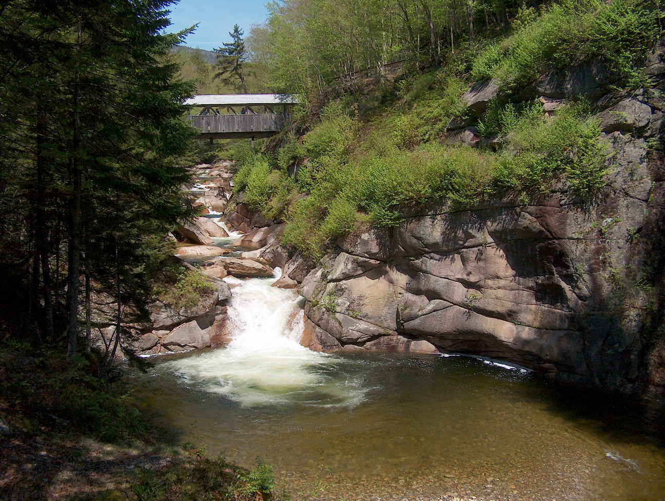
Moosilauke Brook is a stream in the White Mountains of New Hampshire in the United States. It is the downstream continuation of the Lost River and is a tributary of the Pemigewasset River, part of the Merrimack River watershed. Moosilauke Brook begins in the eastern part of Kinsman Notch, where the Lost River, flowing out of the center of the notch, joins Jackman Brook entering from the south. Moosilauke Brook runs northeast, passing through the granite gorge of Agassiz Basin and joining the Pemigewasset River in the village of North Woodstock. New Hampshire Route 112 follows Moosilauke Brook for its entire course. See also *List of rivers of New Hampshire This is a list of rivers and significant streams in the U.S. state of New Hampshire. All watercourses named "River" (freshwater or tidal) are listed here, as well as other streams which are either subject to thNew Hampshire Comprehensive Shorelan ... References Tributaries of the Merrimack River Rivers of New ... [...More Info...] [...Related Items...] OR: [Wikipedia] [Google] [Baidu] |
East Branch Pemigewasset River
The East Branch of the Pemigewasset River is a river located in the White Mountains of New Hampshire in the United States. It is a tributary of the Pemigewasset River, part of the Merrimack River watershed. The East Branch is a longer and larger river than the river that it flows into, but it is named a branch of the main stem because its source lies deep in the Pemigewasset Wilderness of the White Mountains, while the main Pemigewasset River flows directly from Franconia Notch, a major pass through the mountains. The East Branch begins in the locality known as Stillwater, in a wide valley north of Mount Carrigain and Mount Hancock, where several large brooks converge. The river flows west and southwest through the heart of the Pemigewasset Wilderness, picking up tributaries such as the North Fork of the Pemigewasset and Franconia Branch before reaching, at the Lincoln Woods Visitor Center, the Kancamagus Highway stretch of New Hampshire Route 112. Now into developed a ... [...More Info...] [...Related Items...] OR: [Wikipedia] [Google] [Baidu] |
Pemigewasset River
The Pemigewasset River , known locally as "The Pemi", is a river in the state of New Hampshire, the United States. It is in length and (with its tributaries) drains approximately . The name "Pemigewasset" comes from the Abenaki word ''bemijijoasek'' əmidzidzoasək meaning "where side (entering) current is". Geography The Pemigewasset originates at Profile Lake in Franconia Notch State Park, in the town of Franconia. It flows south through the White Mountains and merges with the Winnipesaukee River to form the Merrimack River at Franklin. The Merrimack then flows through southern New Hampshire, northeastern Massachusetts and into the Atlantic Ocean. The Interstate 93 highway runs parallel with the river between Franconia Notch and New Hampton. The river passes through the communities of Lincoln, North Woodstock, Woodstock, Thornton, Campton, Plymouth, Holderness, Ashland, Bridgewater, Bristol, New Hampton, Hill, Sanbornton, and Franklin. The river descends over ... [...More Info...] [...Related Items...] OR: [Wikipedia] [Google] [Baidu] |
Woodsville, New Hampshire
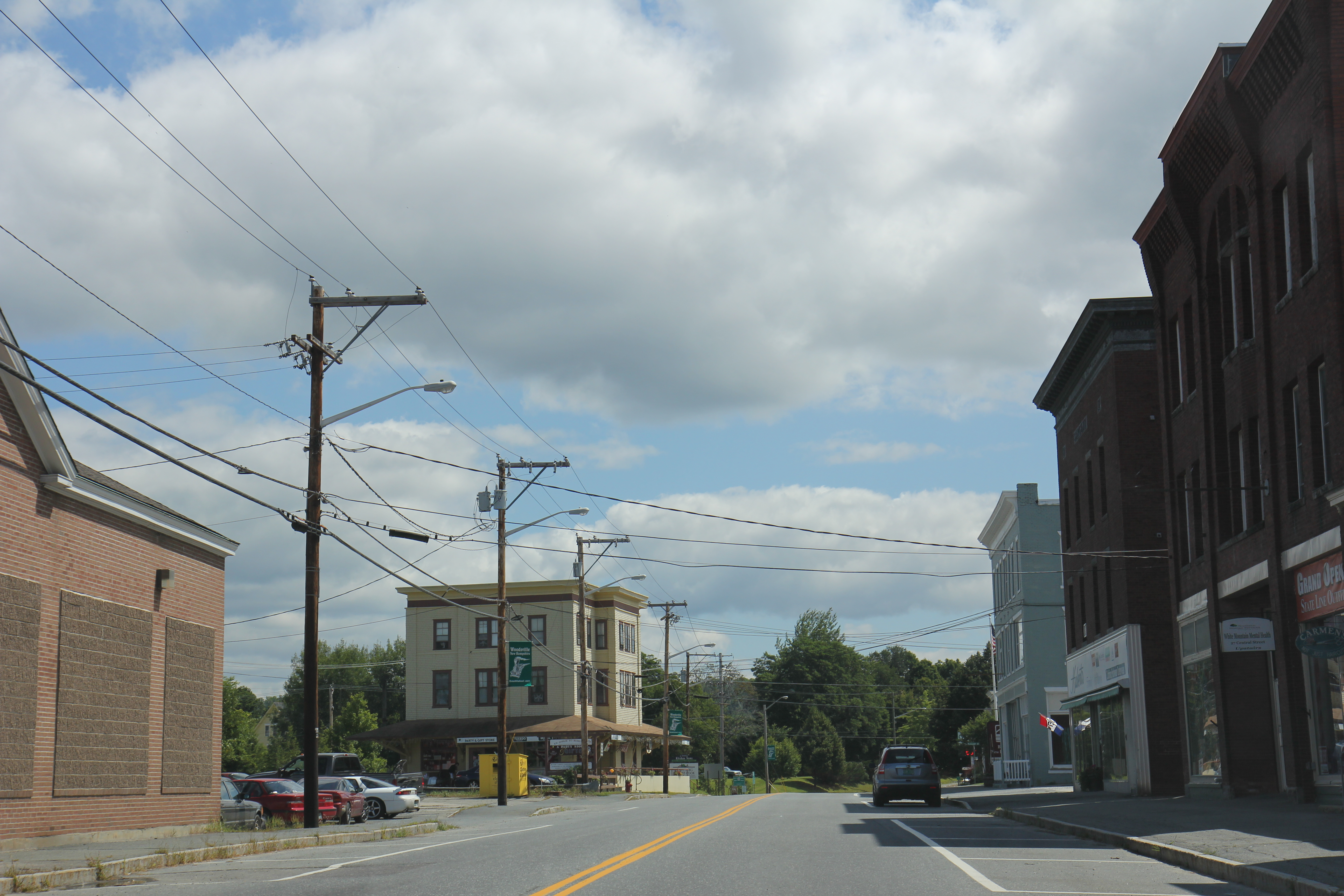
Woodsville is a census-designated place (CDP) and the largest village in the town of Haverhill in Grafton County, New Hampshire, United States, along the Connecticut River at the mouth of the Ammonoosuc River. The population was 1,431 at the 2020 census. Although North Haverhill is now the county seat of Grafton County, the village of Woodsville has traditionally been considered the county seat, as the county courthouse was originally located there. The county buildings are now located halfway between Woodsville and the village of North Haverhill to the south. History Woodsville was named for John L. Woods, a figure in its early development. He arrived from Wells River, Vermont, a village across the Connecticut River narrows in Newbury, and in 1829 purchased a sawmill which had been operating on the Ammonoosuc River since 1811. He manufactured pine lumber, and opened a store in his house. Spring snowmelt carried log drives down the Connecticut and Ammonoosuc rivers. A lo ... [...More Info...] [...Related Items...] OR: [Wikipedia] [Google] [Baidu] |
Kinsman Notch
Kinsman Notch (elev. ) is a mountain pass located in the White Mountains of New Hampshire, United States. It is the westernmost of the major notches through the White Mountains (the others being Franconia Notch, Crawford Notch, and Pinkham Notch). To the southeast, the valley of the notch is drained by the Lost River, leading to the Pemigewasset River, and ultimately the Merrimack, flowing into the Gulf of Maine. The northwest half of the notch is drained by Beaver Brook and the Wild Ammonoosuc River, part of the Connecticut River watershed leading to Long Island Sound. The notch lies between Mount Moosilauke to the southwest and Kinsman Ridge to the northeast. The Appalachian Trail crosses the height of land in the notch on its route between Moosilauke and Kinsman Ridge. The trail descends Moosilauke along Beaver Brook Cascades, a long set of waterfalls descending a total of . The Lost River Reservation, a wild gorge filled with enormous boulders, is found in the floor ... [...More Info...] [...Related Items...] OR: [Wikipedia] [Google] [Baidu] |
Conway (CDP), New Hampshire
Conway is a census-designated place (CDP) and the primary village in the town of Conway in Carroll County, New Hampshire, United States. The population was 3,576 at the 2020 census. It is the most populous community in the town of Conway, ahead of North Conway. Geography According to the United States Census Bureau, the Conway CDP has a total area of , of which are land and , or 5.06%, are water. The village lies in the southwestern part of the town of Conway, situated at the juncture of the Saco River, the Swift River, and Pequawket Brook. The CDP is bordered to the west by the town of Albany, to the south by the town of Madison, and to the north by North Conway. New Hampshire Route 16, Route 113, and Route 153 converge at the village center. Route 112, the Kancamagus Highway, has its eastern terminus in the western part of the village. Demographics As of the census of 2010, there were 1,823 people, 853 households, and 441 families residing in the CDP. The population d ... [...More Info...] [...Related Items...] OR: [Wikipedia] [Google] [Baidu] |


