|
North Street, Kent
North Street is a hamlet two miles (3.2 km) south of Faversham in Kent, England. The hamlet lies on the A251 road immediately south of its crossing of the M2 motorway. It is in the civil parish of Sheldwich Sheldwich is a village and civil parish in the far south of the Borough of Swale in Kent, England. Geography Sheldwich is a rural parish situated south of the market town of Faversham, north of Ashford and 12 miles west of Canterbury via the M .... Hamlets in Kent {{kent-geo-stub ... [...More Info...] [...Related Items...] OR: [Wikipedia] [Google] [Baidu] |
Borough Of Swale
Swale is a local government district with borough status in Kent, England and is bounded by Medway to the west, Canterbury to the east, Ashford to the south and Maidstone to the south west. Its council is based in Sittingbourne. The district is named after the narrow channel called The Swale, that separates the mainland of Kent from the Isle of Sheppey, and which occupies the central part of the district. The district was formed in 1974 under the Local Government Act 1972, from the Borough of Faversham; the Borough of Queenborough-in-Sheppey, which covered the whole of Sheppey; the Sittingbourne and Milton Urban District; and Swale Rural District Swale or Swales may refer to: Topography * Swale (landform), a low tract of land ** Bioswale, landform designed to remove silt and pollution ** Swales, found in the formation of Hummocky cross-stratification Geography * River Swale, in North .... Most of the southern half of the Borough lies within the Kent Downs ... [...More Info...] [...Related Items...] OR: [Wikipedia] [Google] [Baidu] |
Kent
Kent is a county in South East England and one of the home counties. It borders Greater London to the north-west, Surrey to the west and East Sussex to the south-west, and Essex to the north across the estuary of the River Thames; it faces the French department of Pas-de-Calais across the Strait of Dover. The county town is Maidstone. It is the fifth most populous county in England, the most populous non-Metropolitan county and the most populous of the home counties. Kent was one of the first British territories to be settled by Germanic tribes, most notably the Jutes, following the withdrawal of the Romans. Canterbury Cathedral in Kent, the oldest cathedral in England, has been the seat of the Archbishops of Canterbury since the conversion of England to Christianity that began in the 6th century with Saint Augustine. Rochester Cathedral in Medway is England's second-oldest cathedral. Located between London and the Strait of Dover, which separates England from mainla ... [...More Info...] [...Related Items...] OR: [Wikipedia] [Google] [Baidu] |
Faversham
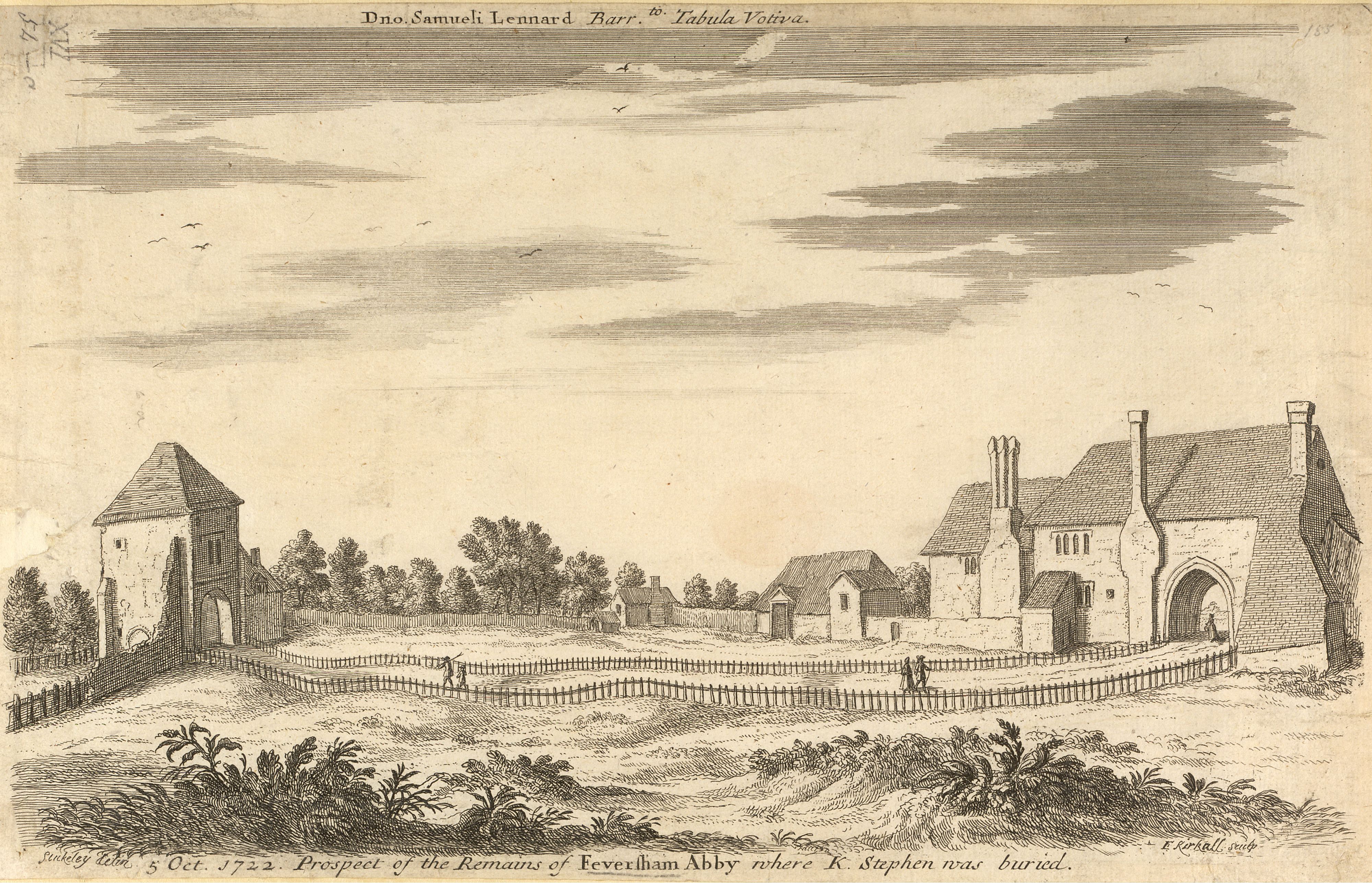
Faversham is a market town in Kent, England, from London and from Canterbury, next to the Swale, a strip of sea separating mainland Kent from the Isle of Sheppey in the Thames Estuary. It is close to the A2 road (Great Britain), A2, which follows an ancient British trackway which was used by the Romans and the Anglo-Saxons, and known as Watling Street. The name is of Old English origin, meaning "the metal-worker's village". There has been a settlement at Faversham since pre-Roman times, next to the ancient sea port on Faversham Creek. It was inhabited by the Saxons and mentioned in the Domesday Book of 1086 as ''Favreshant''. The town was favoured by Stephen of England, King Stephen who established Faversham Abbey, which survived until the Dissolution of the Monasteries in 1538. Subsequently, the town became an important seaport and established itself as a centre for brewing, and the Shepherd Neame Brewery, founded in 1698, remains a significant major employer. The town was al ... [...More Info...] [...Related Items...] OR: [Wikipedia] [Google] [Baidu] |
Sheldwich
Sheldwich is a village and civil parish in the far south of the Borough of Swale in Kent, England. Geography Sheldwich is a rural parish situated south of the market town of Faversham, north of Ashford and 12 miles west of Canterbury via the M2 and A2. It is fragmented into five parts, with North Street a distinct settlement on the A251, Sheldwich (including the Church and school) scattered further south on or close to the main road; Sheldwich Lees, a small village in its own right (and where the Village Hall and Village Green (known as the Lees) are situated) lying south-east of the junction of Lees Court Road and the Ashford Road (A251), and the hamlets of Gosmere and Copton to the north, the latter being transferred to the Parish in 2012. Other than North Street, Copton and part of Gosmere, the remainder of the parish lies within the Kent Downs, (the eastern part of the North Downs), a designated Area of Outstanding Natural Beauty. The population of the parish in the 2011 c ... [...More Info...] [...Related Items...] OR: [Wikipedia] [Google] [Baidu] |
Hamlet (place)
A hamlet is a human settlement that is smaller than a town or village. Its size relative to a parish can depend on the administration and region. A hamlet may be considered to be a smaller settlement or subdivision or satellite entity to a larger settlement. The word and concept of a hamlet has roots in the Anglo-Norman settlement of England, where the old French ' came to apply to small human settlements. Etymology The word comes from Anglo-Norman ', corresponding to Old French ', the diminutive of Old French ' meaning a little village. This, in turn, is a diminutive of Old French ', possibly borrowed from ( West Germanic) Franconian languages. Compare with modern French ', Dutch ', Frisian ', German ', Old English ' and Modern English ''home''. By country Afghanistan In Afghanistan, the counterpart of the hamlet is the qala ( Dari: قلعه, Pashto: کلي) meaning "fort" or "hamlet". The Afghan ''qala'' is a fortified group of houses, generally with its ... [...More Info...] [...Related Items...] OR: [Wikipedia] [Google] [Baidu] |
A251 Road
List of A roads in Great Britain, A roads in List of A roads zones in Great Britain, zone 2 in Great Britain starting south of the River Thames and east of the A3 road (Great Britain), A3 (roads beginning with 2). __FORCETOC__ Single- and double-digit roads Triple-digit roads Four digit roads {{United Kingdom roads [...More Info...] [...Related Items...] OR: [Wikipedia] [Google] [Baidu] |
M2 Motorway (Great Britain)
The M2 is a motorway in Kent, England. It is long and acts as a bypass of the section of the A2 road to run past the Medway Towns, Sittingbourne, Faversham, and to provide an alternative route to the Port of Dover, supplementing the M20. It feeds into the A2, forming a 62 mile long trunk road from London to (almost) Dover. Route The M2 starts west of Strood, Kent at Three Crutches, diverging southeastwards from the A2 road that heads ESE from Central London, one of five roads of dual carriageway width or greater reaching into the southern half of Greater London. From Junction 1 it has four lanes each way that slope into the Medway Valley south of Rochester. On the west bank of the River Medway is Junction 2 intersecting the A228 between Strood and West Malling, a junction where the master exit roundabout passes under the HS1 track and which retains, by footbridge and tunnel, the North Downs Way (a public footpath). By this point the road is mounted on the Medway Viaduct, ... [...More Info...] [...Related Items...] OR: [Wikipedia] [Google] [Baidu] |
Civil Parish
In England, a civil parish is a type of Parish (administrative division), administrative parish used for Local government in England, local government. It is a territorial designation which is the lowest tier of local government below districts of England, districts and metropolitan and non-metropolitan counties of England, counties, or their combined form, the Unitary authorities of England, unitary authority. Civil parishes can trace their origin to the ancient system of Parish (Church of England), ecclesiastical parishes, which historically played a role in both secular and religious administration. Civil and religious parishes were formally differentiated in the 19th century and are now entirely separate. Civil parishes in their modern form came into being through the Local Government Act 1894, which established elected Parish councils in England, parish councils to take on the secular functions of the vestry, parish vestry. A civil parish can range in size from a sparsely ... [...More Info...] [...Related Items...] OR: [Wikipedia] [Google] [Baidu] |


