|
Normanhurst, New South Wales
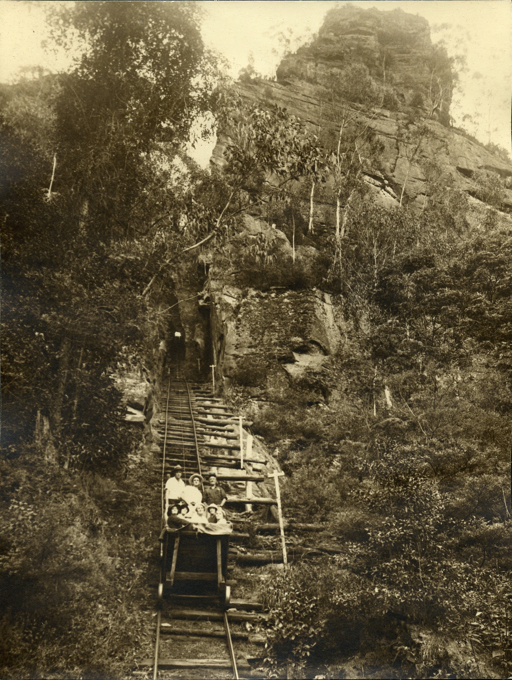
Normanhurst is a suburb in the Upper North Shore region of Sydney in the state of New South Wales, Australia, 22 kilometres north-west of the Sydney central business district in the local government area of Hornsby Shire. History Normanhurst was originally known as Hornsby, with the suburb that is now known as Hornsby called Jack's Island. The land on which Normanhurst stands was granted to Constable Horne, who along with Constable John Thorn, captured bushrangers Dalton and John MacNamara, leader of the North Rocks gang on 22 June 1830. Constable Horne's land became what is now known as Normanhurst and Constable Thorn's land became the neighbouring suburb of Thornleigh. The construction of the Main Northern and North Shore railway lines in the 1890s brought about a name change. The two lines were joined at a station called ''Hornsby Junction'', whereas the station one stop south on the Northern line kept the name ''Hornsby''. Due to confusion around the similarly named st ... [...More Info...] [...Related Items...] OR: [Wikipedia] [Google] [Baidu] |
Norman Selfe
Norman Selfe (9 December 1839 – 15 October 1911) was an Australian engineer, naval architect, inventor, urban planning, urban planner and outspoken advocate of technical education. After emigrating to Sydney with his family from England as a boy he became an apprentice engineer, following his father's trade. Selfe designed many bridges, docks, boats, and much precision machinery for the city. He also introduced new refrigeration, hydraulic, electrical and transport systems. For these achievements he received international acclaim during his lifetime. Decades before the Sydney Harbour Bridge was built, the city came close to building a Selfe-designed steel cantilever bridge across the harbour after he won the second public competition for a bridge design. Selfe was honoured during his life by the name of the Sydney suburb of Normanhurst, where his grand house ''Gilligaloola'' is a local landmark. He was energetically involved in organisations such as the Sydney Mechanics' ... [...More Info...] [...Related Items...] OR: [Wikipedia] [Google] [Baidu] |
North Shore Railway Line
The North Shore Line is a railway line serving the North Shore in Sydney, New South Wales, Australia. The North Shore Line extends from Sydney Central station through the western limb of the City Circle, across the Sydney Harbour Bridge and through the North Shore area to Hornsby where it joins the Main North Line. Services on the line are primarily provided by the T1 North Shore & Western Line and T9 Northern Line, with some services to Wyong during peak hours. History As early as 1874, people dreamed of a railway in the North Shore. In that year, a petition was made for a line from Pearce's Corner ( Wahroonga) to Sydney Harbour. When one local was approached, he said: "If I live to be as old as Methuselah, I will never see a railway". In 1875, a committee was formed at the Greengate Hotel ( Killara). The Public Works Department was opposed, saying "either then or now, the line would run from nowhere to nowhere". In 1879, surveyors proved that a line between Pearce's Co ... [...More Info...] [...Related Items...] OR: [Wikipedia] [Google] [Baidu] |
Kookaburra
Kookaburras (pronounced ) are terrestrial animal, terrestrial tree kingfishers of the genus ''Dacelo'' native to Australia and New Guinea, which grow to between in length and weigh around . The name is a loanword from Wiradjuri language, Wiradjuri ''guuguubarra'', onomatopoeia, onomatopoeic of its call. The loud, distinctive call of the laughing kookaburra is widely used as a stock sound effect in situations that involve an Australian bush setting or tropical jungle, especially in older movies. They are found in habitats ranging from humid forest to arid savannah, as well as in suburban areas with tall trees or near running water. Though they belong to the larger group known as "kingfishers", kookaburras are not closely associated with water. Taxonomy The genus ''Dacelo'' was introduced by English zoologist William Elford Leach in 1815. The type species is the laughing kookaburra. The name ''Dacelo'' is an anagram of ''alcedo'', the Latin word for a kingfisher. A molecular st ... [...More Info...] [...Related Items...] OR: [Wikipedia] [Google] [Baidu] |
Rainbow Lorikeet
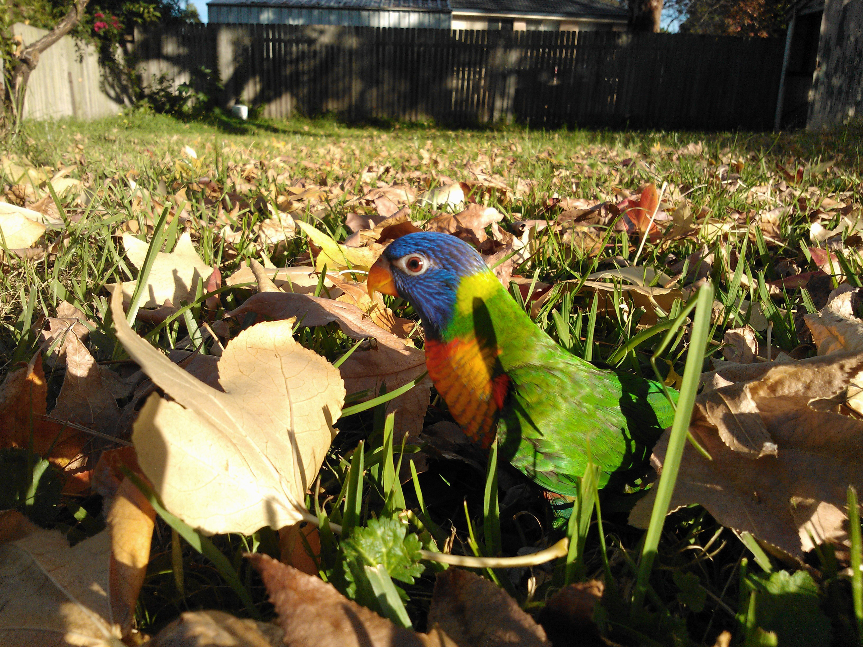
The rainbow lorikeet (''Trichoglossus moluccanus'') is a species of parrot found in Australia. It is common along the eastern seaboard, from northern Queensland to South Australia. Its habitat is rainforest, coastal bush and woodland areas. Six taxa traditionally listed as subspecies of the rainbow lorikeet are now treated as separate species (see ''Taxonomy''). Rainbow lorikeets have been introduced to Perth, Western Australia;ScienceWA Rainbow lorikeet joins Perth pest list ; , |
Cockatoo
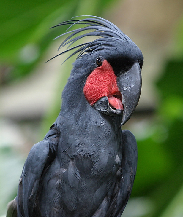
A cockatoo is any of the 21 species of parrots belonging to the family Cacatuidae, the only family in the superfamily Cacatuoidea. Along with the Psittacoidea ( true parrots) and the Strigopoidea (large New Zealand parrots), they make up the order Psittaciformes. The family has a mainly Australasian distribution, ranging from the Philippines and the eastern Indonesian islands of Wallacea to New Guinea, the Solomon Islands and Australia. Cockatoos are recognisable by their prominent crests and curved bills. Their plumage is generally less colourful than that of other parrots, being mainly white, grey, or black and often with coloured features in the crest, cheeks, or tail. On average, they are larger than other parrots; however, the cockatiel, the smallest cockatoo species, is medium-sized. The phylogenetic position of the cockatiel remains unresolved, except that it is one of the earliest offshoots of the cockatoo lineage. The remaining species are in two main clades. ... [...More Info...] [...Related Items...] OR: [Wikipedia] [Google] [Baidu] |
Broken Bay
Broken Bay, a semi-mature tide-dominated ria, drowned valley estuary, is a large inlet of the Tasman Sea located about north of Sydney on the Central Coast (New South Wales), Central Coast of New South Wales, Australia; being one of the bodies of water that separate greater Metropolitan Sydney from the Central Coast (New South Wales), Central Coast. Broken Bay is the first major bay north of Port Jackson, Sydney Harbour in the state capital of Sydney. Broken Bay has its origin at the confluence of the Hawkesbury River, Pittwater, and Brisbane Water and flows openly into the Tasman Sea. The total surface area of the bay is approximately . Geography The entrance to Broken Bay lies between the northern Box Head, New South Wales, Box Head and Barrenjoey, New South Wales, Barrenjoey Head to the south. Barrenjoey Lighthouse was constructed in 1881 to guide ships away from the prominent headland. The bay comprises three arms, being the prominent estuary of the Hawkesbury River in the ... [...More Info...] [...Related Items...] OR: [Wikipedia] [Google] [Baidu] |
Berowra Valley
The Berowra Valley National Park is a protected national park that is located in northern Sydney, New South Wales, Australia. The national park is situated approximately north-west of the Sydney central business district. Located within the Sydney Basin, the park is part of the dissected Hornsby Plateau which is dominated by Hawkesbury Sandstone and predominantly covers the catchment area of Berowra Creek. Etymology In the local indigenous language the word ''Berowra'' means a "place of many winds". Geography A contiguous stretch of parkland, from south to north, its southern boundary is defined by Boundary Road, Pennant Hills; its southeastern boundary defined by the western limits of Hornsby; its northeastern boundary defined by the Pacific Motorway; its northern boundary defined by Berowra Waters; and its western boundary defined by a series of creek and gullies as the park extends into Galston Gorge and further south. A stretch of the Great North Walk is located w ... [...More Info...] [...Related Items...] OR: [Wikipedia] [Google] [Baidu] |
Sydney Adventist Hospital
Sydney Adventist Hospital, commonly known as the San, is a large private hospital in Sydney, Australia, located on Fox Valley Road in Wahroonga. Established on 1 January 1903, as a not-for-profit organisation, it was originally named the Sydney Sanitarium from which its colloquial name was derived. The hospital is operated by the Seventh-day Adventist Church, whose South Pacific Division headquarters are located in the immediate vicinity of the San. The hospital offers a broad range of acute medical, surgical, diagnostic, outpatient, support and wellness services, including Executive Health Checks at the Fox Valley Medical & Dental Centre. As a not-for-profit health care facility, 2,200 staff and 700 accredited medical officers provide services for more than 50,000 inpatients and over 160,000 outpatients annually at the San. The hospital is the base for the nursing course offered by Avondale University. History Sydney Sanitarium was founded by American missionary and phys ... [...More Info...] [...Related Items...] OR: [Wikipedia] [Google] [Baidu] |
Parramatta, New South Wales
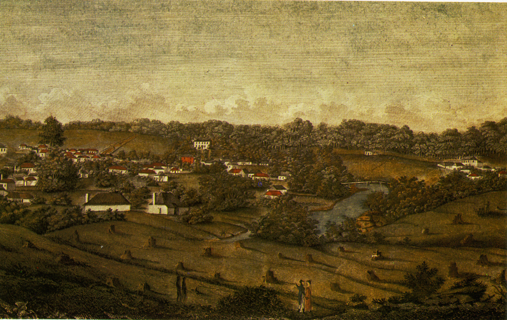
Parramatta (; ) is a suburb (Australia), suburb and major commercial centre in Greater Western Sydney. Parramatta is located approximately west of the Sydney central business district, Sydney CBD, on the banks of the Parramatta River. It is commonly regarded as the secondary central business district of metropolitan Greater Sydney, Sydney. Parramatta is the municipal seat of the Local government areas of New South Wales, local government area of the City of Parramatta and is often regarded as one of the primary centres of the Greater Sydney metropolitan region, along with the Sydney central business district, Sydney CBD, Penrith, New South Wales, Penrith, Campbelltown, New South Wales, Campbelltown, and Liverpool, New South Wales, Liverpool. Parramatta also has a long history as a second administrative centre in the Sydney metropolitan region, playing host to a number of government departments, as well as state and federal courts. It is often colloquially referred to as "Parra" ... [...More Info...] [...Related Items...] OR: [Wikipedia] [Google] [Baidu] |
M1 Road (Australia)
Australias Highway 1 is a network of highways that circumnavigate the country, joining all mainland capital cities except the national capital of Canberra. At a total length of approximately it is the longest national highway in the world, surpassing the Trans-Siberian Highway (over ) and the Trans-Canada Highway (). Over a million people traverse some part of the highway network every day. It is the longest continuing highway in the world as the Pan-American Highway is separated by the Darién Gap and AH1 is separated by the Sea of Japan. However it is not the longest continuous stretch of highway as both the northern section of the Pan-American Highway and the continental section of AH1 still out-measure it. History Highway 1 was created as part of the National Route Numbering system, adopted in 1955. The route was compiled from an existing network of state and local roads and tracks. Highway 1 is the only route to reach across all Australian states, plus the Northern Territ ... [...More Info...] [...Related Items...] OR: [Wikipedia] [Google] [Baidu] |
Pennant Hills Road
Pennant Hills Road is a arterial road located in Sydney, New South Wales, Australia. The road links the suburb of Wahroonga in the northeast, to the major central business district of Parramatta in the southwest. Apart from a small section at its southwestern end, it is a constituent part of Cumberland Highway, and is designated part of route A28. In 2015 NRMA members voted the Pennant Hills Road as the second worst road in New South Wales and the Australian Capital Territory, with approximately 5,000 heavy vehicle movements per day. NorthConnex, a motorway tunnel opened on 31 October 2020, runs parallel to Pennant Hills Road and links M2 Hills Motorway at with Pacific Highway and Pacific Motorway at Wahroonga. NorthConnex aims to reduce congestion and improve traffic flow along part of the Pennant Hills Road, reducing air and traffic pollution. Route Pennant Hills Road commences at Pearce's Corner, the intersection with Pacific Highway in Wahroonga, and heads in a s ... [...More Info...] [...Related Items...] OR: [Wikipedia] [Google] [Baidu] |
Gilligaloola
''Gilligaloola'' is a heritage-listed residence located at 82-84 Pennant Hills Road, Normanhurst, New South Wales, a suburb of Sydney, Australia. It was designed by Norman Selfe who was involved in the design, and built in 1893. It was added to the New South Wales State Heritage Register on 2 April 1999. History ''Gilligaloola'' was constructed on 14 acres and planted with Italian gardens and orchards. It was built for Norman Selfe, a prominent civil engineer, after whom the suburb Normanhurst takes its name. The architect and builder of the house is unknown, but the design and character of certain details appear to suggest that Selfe was himself involved. The following obituary taken from the 16 October 1911 edition of ''The Sydney Morning Herald'' described the significant contribution that Selfe made at the turn of the century: In November 1981, community representations were made to the Heritage Branch, raising concerns for the future of ''Gilligaloola''. At the time, ... [...More Info...] [...Related Items...] OR: [Wikipedia] [Google] [Baidu] |


