|
New Milltown, Pennsylvania
New Milltown, Pennsylvania is a historic stone mill and unincorporated community located in Salisbury Township, Lancaster County, Pennsylvania. History While almost all previous mills in Lancaster County, PA were located on the Conestoga River, New Milltown is called ''New'' Mill Town because it was the location of the first mill on Pequea Creek. On January 21, 1733 (Warrant, A-12-98, Philadelphia) Samuel Blyth received the original grant on the Pequea Creek (in Salisbury, Leacock, and Paradise Townships) and quickly built a mill there. Blyth's Mill is first documented on September 6, 1744 when Blyth filed a petition that requested a road to be built from Francis Jones' land (Gap) to Blyth's Mill (D-2-35). This is the section of Newport Road which now runs between Intercourse, PA and Gap, PA. Samuel may have operated a mill on the site as early as 1734. The present stone mill at this location was probably first built by John Huston (Houston) around 1750. On May 15, 1792 (Deed, ... [...More Info...] [...Related Items...] OR: [Wikipedia] [Google] [Baidu] |
Stone Mill
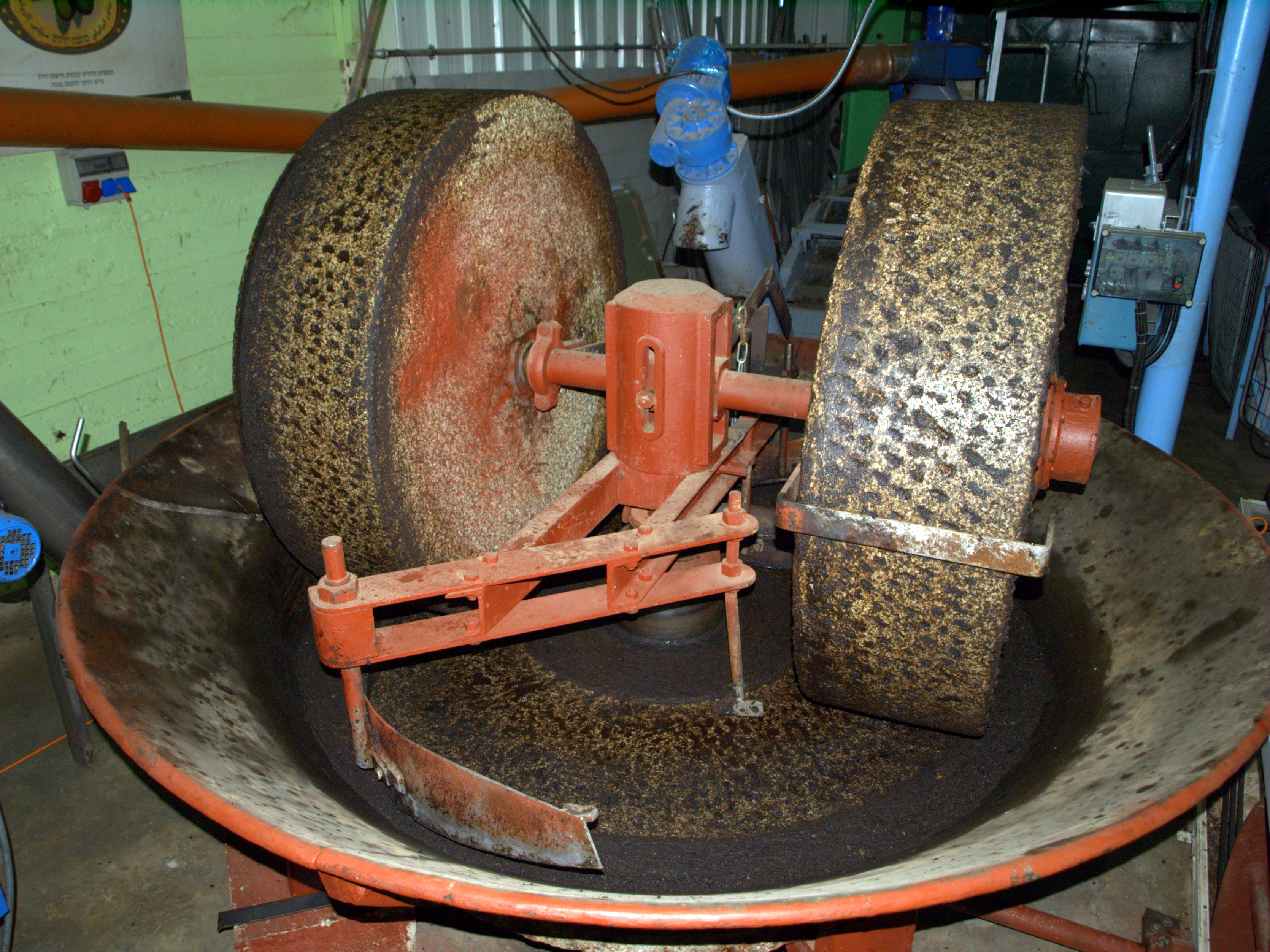
Millstones or mill stones are stones used in gristmills, for grinding wheat or other grains. They are sometimes referred to as grindstones or grinding stones. Millstones come in pairs: a convex stationary base known as the ''bedstone'' and a concave ''runner stone'' that rotates. The movement of the runner on top of the bedstone creates a "scissoring" action that grinds grain trapped between the stones. Millstones are constructed so that their shape and configuration help to channel ground flour to the outer edges of the mechanism for collection. The runner stone is supported by a cross-shaped metal piece (millrind or rynd) fixed to a "mace head" topping the main shaft or spindle leading to the driving mechanism of the mill (wind, water (including tide) or other means). History The earliest evidence for stones used to grind food is found in northern Australia, at the Madjedbebe rock shelter in Arnhem Land, dating back around 60,000 years. Grinding stones or grindstone ... [...More Info...] [...Related Items...] OR: [Wikipedia] [Google] [Baidu] |
Unincorporated Community
An unincorporated area is a region that is not governed by a local municipal corporation. Widespread unincorporated communities and areas are a distinguishing feature of the United States and Canada. Most other countries of the world either have no unincorporated areas at all or these are very rare: typically remote, outlying, sparsely populated or uninhabited areas. By country Argentina In Argentina, the provinces of Chubut, Córdoba, Entre Ríos, Formosa, Neuquén, Río Negro, San Luis, Santa Cruz, Santiago del Estero, Tierra del Fuego, and Tucumán have areas that are outside any municipality or commune. Australia Unlike many other countries, Australia has only one level of local government immediately beneath state and territorial governments. A local government area (LGA) often contains several towns and even entire metropolitan areas. Thus, aside from very sparsely populated areas and a few other special cases, almost all of Australia is part of an LGA. Uninco ... [...More Info...] [...Related Items...] OR: [Wikipedia] [Google] [Baidu] |
Salisbury Township, Lancaster County, Pennsylvania
Salisbury Township is a township in east central Lancaster County, Pennsylvania, United States. The population was 11,531 at the 2020 census. History Salisbury Township was carved out of Pequea Township in 1729 and named for Salisbury, England. Though still mostly agricultural, it has been a center of commerce and industry of Lancaster County, with nickel mining beginning in 1718 and a more profitable limestone mining beginning soon after. White Chimneys was listed on the National Register of Historic Places in 1975. File:White Chimneys.JPG, White Chimneys Approaching White Horse, PA.jpg, Near White Horse Geography According to the United States Census Bureau, the township has a total area of , all land. Unincorporated communities in the township include Mountain Top, South Hermitage, Mount Airy, Springville, Spring Garden, Salisbury Heights, White Horse, Cains, Buena Vista, Buyerstown, Jacksonville, Gap, Limeville, and parts of Cambridge and New Milltown. Demographics ... [...More Info...] [...Related Items...] OR: [Wikipedia] [Google] [Baidu] |
Lancaster County, Pennsylvania
Lancaster County (; Pennsylvania Dutch: Lengeschder Kaundi), sometimes nicknamed the Garden Spot of America or Pennsylvania Dutch Country, is a county in the Commonwealth of Pennsylvania. It is located in the south central part of Pennsylvania. As of the 2020 census, the population was 552,984. Its county seat is Lancaster. Lancaster County comprises the Lancaster, Pennsylvania metropolitan statistical area. Lancaster County is a tourist destination with its Amish community a major attraction. Contrary to popular belief, the word "Dutch" in "Pennsylvania Dutch" is not a mistranslation, but rather a corruption of the Pennsylvania German endonym ''Deitsch'', which means "Pennsylvania Dutch / German" or "German". Ultimately, the terms Deitsch, Dutch, Diets, and Deutsch are all cognates of the Proto-Germanic word meaning "popular" or "of the people". The continued use of "Dutch" instead of "German" was strengthened by the Pennsylvania Dutch in the 19th century as a way ... [...More Info...] [...Related Items...] OR: [Wikipedia] [Google] [Baidu] |
Lancaster County, PA
Lancaster County (; Pennsylvania Dutch language, Pennsylvania Dutch: Lengeschder Kaundi), sometimes nicknamed the Garden Spot of America or Pennsylvania Dutch Country, is a County (United States), county in the Commonwealth (U.S. state), Commonwealth of Pennsylvania. It is located in the south central part of Pennsylvania. As of the 2020 United States Census, 2020 census, the population was 552,984. Its county seat is Lancaster, Pennsylvania, Lancaster. Lancaster County comprises the Lancaster, Pennsylvania Metropolitan statistical area, metropolitan statistical area. Lancaster County is a tourist destination with its Amish community a major attraction. Contrary to popular belief, the word "Dutch" in "Pennsylvania Dutch" is not a mistranslation, but rather a corruption of the Pennsylvania German endonym ''Deitsch'', which means "Pennsylvania Dutch / German" or "German". Ultimately, the terms Deitsch, Dutch language, Dutch, Middle Dutch, Diets, and German language, Deutsch are al ... [...More Info...] [...Related Items...] OR: [Wikipedia] [Google] [Baidu] |
Conestoga River
The Conestoga River, also referred to as Conestoga Creek, is a U.S. Geological Survey. National Hydrography Dataset high-resolution flowline dataThe National Map, accessed August 8, 2011 tributary of the Susquehanna River flowing through the center of Lancaster County, Pennsylvania, United States. Geography Its headwaters rise mostly in southern Berks County and northeastern Lancaster County, in an area known as "Bortz's Swamp" or "Penngall Field" (a small area rises in Chester County). The East Branch and West Branch of the Conestoga join to form the main river just north of Morgantown, and the stream flows from northeast to southwest for more than , passing close to the center of Lancaster and ending at Safe Harbor along the Susquehanna River, approximately north of the Pennsylvania-Maryland state line. The principal tributaries of the Conestoga River are Cocalico Creek, Mill Creek, and Little Conestoga Creek; they drain into the Conestoga River watershed in the order ... [...More Info...] [...Related Items...] OR: [Wikipedia] [Google] [Baidu] |
Pequea Creek
Pequea Creek (pronounced ''PECK-way'') is a tributary of the Susquehanna River that runs for U.S. Geological Survey. National Hydrography Dataset high-resolution flowline dataThe National Map accessed August 8, 2011 from the eastern border of Lancaster County and Chester County, Pennsylvania to the village of Pequea, about above the hydroelectric dam at Holtwood along the Susquehanna River in Lancaster County. History and notable features The name of the creek is Shawnee for "dust" or "ashes", referring to a clan that once dwelt at the mouth of the creek. The stream flows through a pastoral landscape farmed extensively by Pennsylvania German farmers, generally members of Mennonite, Amish, and German-speaking Reformed churches. The Old Order Amish in this watershed were historically called ''Peckwayers'' to distinguish them from other Amish who lived along the Conestoga River watershed. The course of the stream is generally flat, though the last flow through a steeper, wooded ... [...More Info...] [...Related Items...] OR: [Wikipedia] [Google] [Baidu] |
Intercourse, PA
Intercourse is an unincorporated community and census-designated place (CDP) in Leacock Township, Lancaster County, in the U.S. state of Pennsylvania, east of Lancaster on Pennsylvania Route 340. As of the 2020 census, the population was 1,494, up from 1,274 at the previous census. Intercourse is a popular site for tourists because of its location in Amish country and its sexually suggestive name. The movie ''Witness'' was filmed in Intercourse as well as other parts of the surrounding area, and ''For Richer or Poorer'' was set there, though not filmed in Intercourse. Because of the town's unusual name, the sign posts for the town are frequently targeted by thieves. History Intercourse was founded in 1754. The community was originally named "Cross Keys", after a local tavern. Intercourse became the name in 1814. The village website gives several theories for the origins of the name: Another theory concerns two famous roads that crossed here. The Old King's highway from Phil ... [...More Info...] [...Related Items...] OR: [Wikipedia] [Google] [Baidu] |
Gap, PA
Gap is a census-designated place (CDP) and unincorporated community in Salisbury Township, Lancaster County, Pennsylvania, Salisbury Township, Lancaster County, Pennsylvania, Lancaster County, Pennsylvania, United States, with a ZIP code of 17527. The population was 1,931 at the 2010 census. U.S. Route 30 in Pennsylvania, U.S. Route 30 passes through the town, which is also the terminus for four Pennsylvania highways: Pennsylvania Route 772, 772, Pennsylvania Route 741, 741, Pennsylvania Route 897, 897, and the heavily used Pennsylvania Route 41, 41, which goes toward Wilmington, Delaware. Gap lies approximately east of Lancaster, Pennsylvania, Lancaster and west of Philadelphia. History Gap was named for its location at a low mountain pass, pass through Mine Ridge. Gap has a history which can be dated as far back as William Penn's first visits to the area. Isaac Taylor erected the first house in what would become Gap in 1747. The area around Gap had a copper mine and what at th ... [...More Info...] [...Related Items...] OR: [Wikipedia] [Google] [Baidu] |
Mennonites
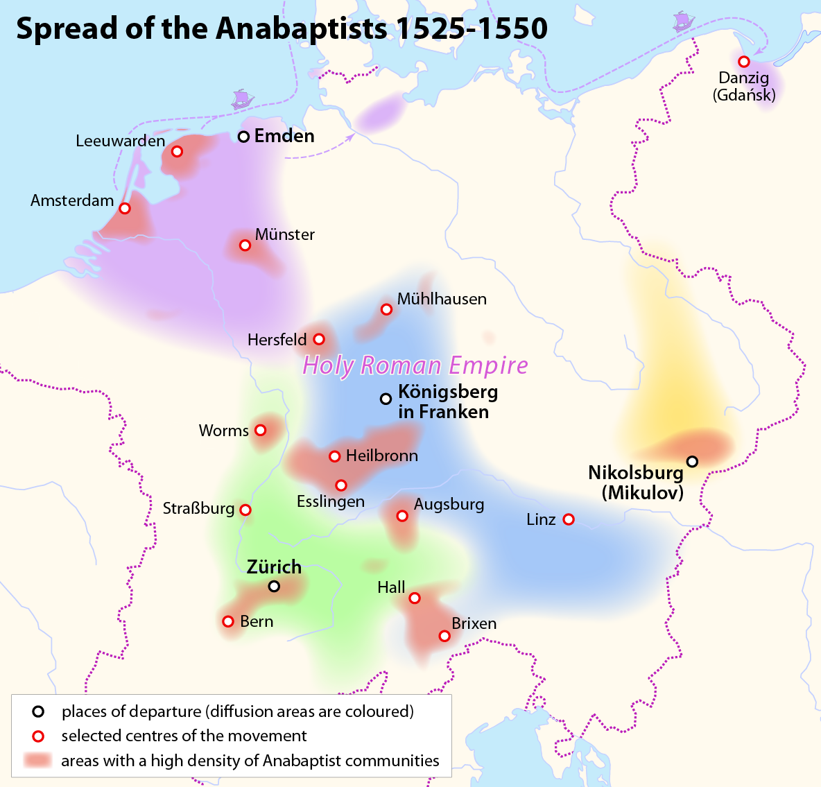
Mennonites are groups of Anabaptist Christian church communities of denominations. The name is derived from the founder of the movement, Menno Simons (1496–1561) of Friesland. Through his writings about Reformed Christianity during the Radical Reformation, Simons articulated and formalized the teachings of earlier Swiss founders, with the early teachings of the Mennonites founded on the belief in both the mission and ministry of Jesus, which the original Anabaptist followers held with great conviction, despite persecution by various Roman Catholic and Mainline Protestant states. Formal Mennonite beliefs were codified in the Dordrecht Confession of Faith in 1632, which affirmed "the baptism of believers only, the washing of the feet as a symbol of servanthood, church discipline, the shunning of the excommunicated, the non-swearing of oaths, marriage within the same church, strict pacifistic physical nonresistance, anti-Catholicism and in general, more emphasis on "true ... [...More Info...] [...Related Items...] OR: [Wikipedia] [Google] [Baidu] |


