|
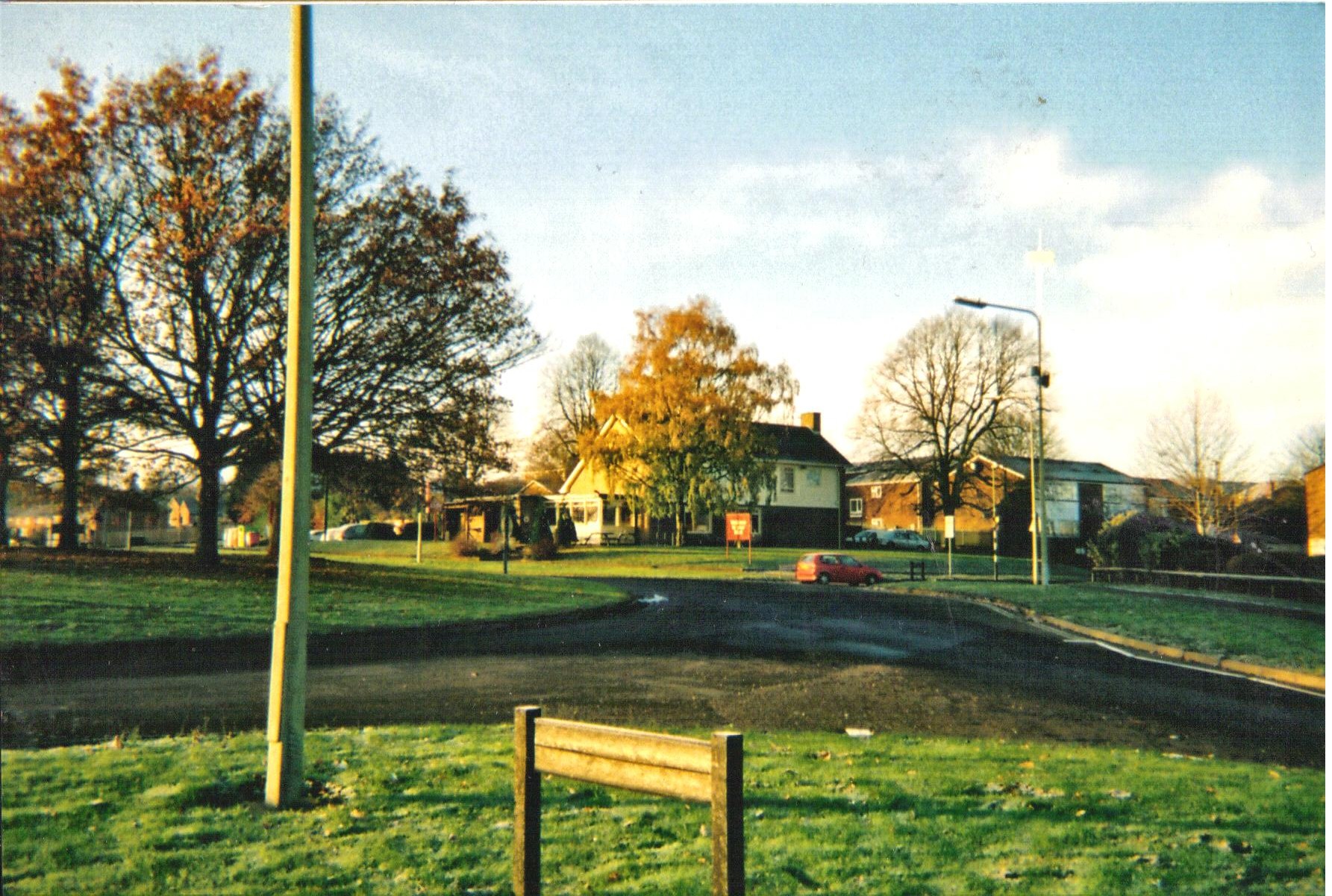
Nethercote, Banbury
Nethercote is a hamlet on the edge of north Oxfordshire, a semi-rural area bordering with West Northamptonshire. The hamlet sits South East of J11 of M40, lying South of the A422 and East of the M40. Predominantly agricultural land used for grazing, a single-track road runs right through the hamlet, known as Banbury Lane, which has around a dozen residential properties along the lane. Banbury Lane is still often referred to as Blacklocks Hill and this refers to the history of the area and a time when this area saw a main route into Banbury, before the M40 and A422. In 1870-72 it had a population of 97. History The name Nethercote is thought to have derived from the proximity to Warkworth. The word Nethercote is derived from the Middle English words “nether(e)” meaning “lower” and “cot” meaning cottage. Until 1889, Nethercote, along with the nearby then hamlet of Grimsbury were considered to be part of Warkworth in Northamptonshire, although they were both part o ... [...More Info...] [...Related Items...] OR: [Wikipedia] [Google] [Baidu] |
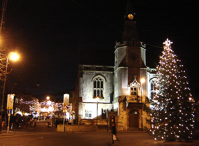
Banbury
Banbury is a historic market town on the River Cherwell in Oxfordshire, South East England. It had a population of 54,335 at the 2021 Census. Banbury is a significant commercial and retail centre for the surrounding area of north Oxfordshire and southern parts of Warwickshire and Northamptonshire which are predominantly rural. Banbury's main industries are motorsport, car components, electrical goods, plastics, food processing and printing. Banbury is home to the world's largest coffee-processing facility ( Jacobs Douwe Egberts), built in 1964. The town is famed for Banbury cakes, a spiced sweet pastry dish. Banbury is located north-west of London, south-east of Birmingham, south-east of Coventry and north-west of Oxford. History Toponymy The name Banbury may derive from "Banna", a Saxon chieftain said to have built a stockade there in the 6th century (or possibly a byname from ang, bana meaning ''felon'', ''murderer''), and / meaning ''settlement''. In Anglo Saxo ... [...More Info...] [...Related Items...] OR: [Wikipedia] [Google] [Baidu] |
Overthorpe, Northamptonshire
Overthorpe is a village and civil parish in West Northamptonshire, about east of Banbury in Oxfordshire and southeast of junction 11 of the M40 motorway. Overthorpe is in the east of nshire, and its western boundary forms part of the county boundary with Oxfordshire. It is part of the informal district of Banburyshire. The 2001 Census recorded the parish's population as 242, reducing slightly to 235 at the 2241 Census. History The Manor House is 17th-century, with a Tudor Revival rear extension that was added about 1930. The village has at least three other 17th-century houses and a 17th- or 18th-century barn. An open field system of farming prevailed in Overthorpe until the 18th century. Traces of ridge and furrow survive north of the village. Overthorpe used to be part of the parish of Middleton Cheney, but its land tenure was linked with that of Warkworth. Parliament passed a single Inclosure Act for both Overthorpe and Warkworth in 1764. Church and chapel There is ... [...More Info...] [...Related Items...] OR: [Wikipedia] [Google] [Baidu] |
Banbury Cheese
Banbury cheese was an English cheese produced in Banbury, Oxfordshire. Once one of the town's most prestigious exports, and nationally famous, the production of the cheese went into decline by the 18th century, and was eventually forgotten. The cheese is best known today through an insult in Shakespeare's ''Merry Wives of Windsor'' (1597). History Banbury cheeses first appear in the historical record in 1430, when fourteen were sent to John of Lancaster, 1st Duke of Bedford, among supplies for France. In 1586, William Camden spoke of the cheese as a source of fame for the town. The earliest printed cookbook to make reference to the cheese was Thomas Dawson's ''The Good Huswifes Handmaide for the Kitchin'' (1594), used in a recipe for the "tarte of Cheese". The cheese was renowned in its day. It was given as a gift to several significant figures, including Thomas Cromwell (1533 and 1538), Sir Joseph Williamson (1677), and Horace Walpole (1768). Barnaby Googe, in his 1614 ... [...More Info...] [...Related Items...] OR: [Wikipedia] [Google] [Baidu] |
History Of Banbury
Banbury is a circa 1,500-year-old market town and civil parish on the River Cherwell in the Cherwell District of Oxfordshire, England. It is northwest of London, southeast of Birmingham, south of Coventry and north northwest of the county town of Oxford. General history Origin of the toponym The toponym "Banbury" derives from "Banna", a Saxon chieftain said to have built a stockade there in the 6th century, and "burgh" meaning settlement. One Saxon spelling was ''Banesbyrig''. The name appears as ''Banesberie'' in the Domesday Book of 1086. Another known Medieval spelling was 'Banesebury' The derivation of the name of the Grimsbury, now part of Banbury, is of early Saxon type, and is the corruption of word for a defended enclosure (burh) belonging to a personage called 'Grim', thought to be a reference to a masked persona of the god Woden. Roman and Anglo-Saxon history Banbury stands at the junction of two ancient roads: Salt Way (used as a bridle path to the wes ... [...More Info...] [...Related Items...] OR: [Wikipedia] [Google] [Baidu] |
Thames Valley Police
Thames Valley Police is the territorial police force responsible for policing the Thames Valley, covering the counties of Berkshire, Buckinghamshire and Oxfordshire. It the largest non-metropolitan police force in England and Wales, covering and a population of 2.42 million people. History Prior to the Municipal Corporations Act 1835 there were ancient ways of keeping law and order through Parish constables or quasi police bodies who conducted a wide range of duties. Modern policing in Thames Valley can be traced back to the 1835 act when a number of boroughs set up police forces. For example Newbury Borough Police were operating as a small police force soon after the passing of the Act. The force was one of around twenty borough forces that were later amalgamated with their county police force. These were Buckinghamshire Constabulary, Oxfordshire Constabulary, Berkshire Constabulary, Reading Borough Police and Oxford City Police founded in 1857, 1857, 1856, 1836 and 1868 ... [...More Info...] [...Related Items...] OR: [Wikipedia] [Google] [Baidu] |
Public Footpath
A footpath (also pedestrian way, walking trail, nature trail) is a type of thoroughfare that is intended for use only by pedestrians and not other forms of traffic such as motorized vehicles, bicycles and horses. They can be found in a wide variety of places, from the centre of cities, to farmland, to mountain ridges. Urban footpaths are usually paved, may have steps, and can be called alleys, lanes, steps, etc. National parks, nature preserves, conservation areas and other protected wilderness areas may have footpaths ( trails) that are restricted to pedestrians. The term footpath can also describe a pavement/sidewalk in some English-speaking countries (such as Australia, New Zealand, and Ireland). A footpath can also take the form of a footbridge, linking two places across a river. Origins and history Public footpaths are rights of way originally created by people walking across the land to work, market, the next village, church, and school. This includes Mass pa ... [...More Info...] [...Related Items...] OR: [Wikipedia] [Google] [Baidu] |
Tree Preservation Order
A tree preservation order (TPO) is a part of town and country planning in the United Kingdom. A TPO is made by a local planning authority (usually a local council) to protect specific trees or a particular area, group or woodland from deliberate damage and destruction if those trees are important for the amenity of the area. In Scotland TPOs can also be used to protect trees of historic or cultural significance. TPOs make the felling, lopping, topping, uprooting or otherwise willful damaging of trees without the permission of the local planning authority a legal offence, although different TPOs have different degrees of protection. They can be made very quickly and in practice it is normal for a council to make an emergency TPO in less than a day in cases of immediate danger to trees. Legal basis TPOs were originally introduced in the Town and Country Planning Act 1947 and the Town and Country Planning (Scotland) Act 1947. Some TPOs therefore may be over 70 years old, and st ... [...More Info...] [...Related Items...] OR: [Wikipedia] [Google] [Baidu] |
Listed Building
In the United Kingdom, a listed building or listed structure is one that has been placed on one of the four statutory lists maintained by Historic England in England, Historic Environment Scotland in Scotland, in Wales, and the Northern Ireland Environment Agency in Northern Ireland. The term has also been used in the Republic of Ireland, where buildings are protected under the Planning and Development Act 2000. The statutory term in Ireland is "protected structure". A listed building may not be demolished, extended, or altered without special permission from the local planning authority, which typically consults the relevant central government agency, particularly for significant alterations to the more notable listed buildings. In England and Wales, a national amenity society must be notified of any work to a listed building which involves any element of demolition. Exemption from secular listed building control is provided for some buildings in current use for worsh ... [...More Info...] [...Related Items...] OR: [Wikipedia] [Google] [Baidu] |
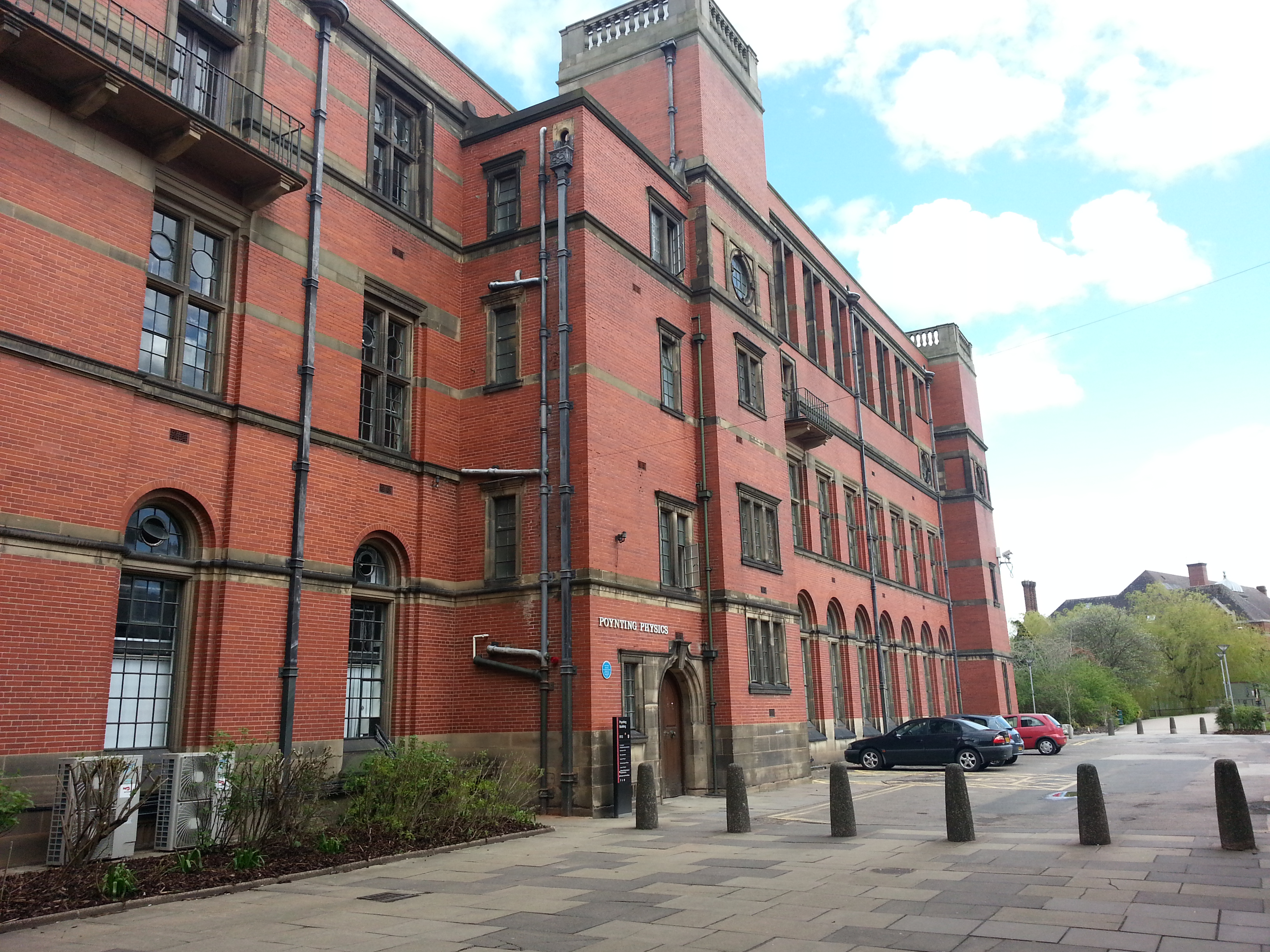
Klaus Fuchs
Klaus Emil Julius Fuchs (29 December 1911 – 28 January 1988) was a German theoretical physicist and atomic spy who supplied information from the American, British and Canadian Manhattan Project to the Soviet Union during and shortly after World War II. While at the Los Alamos National Laboratory, Fuchs was responsible for many significant theoretical calculations relating to the first nuclear weapons and, later, early models of the hydrogen bomb. After his conviction in 1950, he served nine years in prison in the United Kingdom, then migrated to East Germany where he resumed his career as a physicist and scientific leader. The son of a Lutheran pastor, Fuchs attended the University of Leipzig, where his father was a professor of theology, and became involved in student politics, joining the student branch of the Social Democratic Party of Germany (SPD), and the '' Reichsbanner Schwarz-Rot-Gold'', the SPD's paramilitary organisation. He was expelled from the SPD in 1 ... [...More Info...] [...Related Items...] OR: [Wikipedia] [Google] [Baidu] |
Ridge And Furrow
Ridge and furrow is an archaeological pattern of ridges (Medieval Latin: ''sliones'') and troughs created by a system of ploughing used in Europe during the Middle Ages, typical of the open-field system. It is also known as rig (or rigg) and furrow, mostly in the North East of England and in Scotland. The earliest examples date to the immediate post- Roman period and the system was used until the 17th century in some areas, as long as the open field system survived. Surviving ridge and furrow topography is found in Great Britain, Ireland and elsewhere in Europe. The surviving ridges are parallel, ranging from apart and up to tall – they were much taller when in use. Older examples are often curved. Ridge and furrow topography was a result of ploughing with non-reversible ploughs on the same strip of land each year. It is visible on land that was ploughed in the Middle Ages, but which has not been ploughed since then. No actively ploughed ridge and furrow survives. Th ... [...More Info...] [...Related Items...] OR: [Wikipedia] [Google] [Baidu] |
Inclosure Acts
The Inclosure Acts, which use an archaic spelling of the word now usually spelt "enclosure", cover enclosure of open fields and common land in England and Wales, creating legal property rights to land previously held in common. Between 1604 and 1914, over 5,200 individual enclosure acts were passed, affecting 28,000 km2. History Before the enclosures in England, a portion of the land was categorized as "common" or "waste". "Common" land was under the control of the lord of the manor, but certain rights on the land such as pasture, pannage, or estovers were held variously by certain nearby properties, or (occasionally) ''in gross'' by all manorial tenants. "Waste" was land without value as a farm strip – often very narrow areas (typically less than a yard wide) in awkward locations (such as cliff edges, or inconveniently shaped manorial borders), but also bare rock, and so forth. "Waste" was not officially used by anyone, and so was often farmed by landless peasants. The ... [...More Info...] [...Related Items...] OR: [Wikipedia] [Google] [Baidu] |
Parliament Of Great Britain
The Parliament of Great Britain was formed in May 1707 following the ratification of the Acts of Union by both the Parliament of England and the Parliament of Scotland. The Acts ratified the treaty of Union which created a new unified Kingdom of Great Britain and created the parliament of Great Britain located in the former home of the English parliament in the Palace of Westminster, near the City of London. This lasted nearly a century, until the Acts of Union 1800 merged the separate British and Irish Parliaments into a single Parliament of the United Kingdom with effect from 1 January 1801. History Following the Treaty of Union in 1706, Acts of Union ratifying the Treaty were passed in both the Parliament of England and the Parliament of Scotland, which created a new Kingdom of Great Britain. The Acts paved the way for the enactment of the treaty of Union which created a new parliament, referred to as the 'Parliament of Great Britain', based in the home of the former ... [...More Info...] [...Related Items...] OR: [Wikipedia] [Google] [Baidu] |


