|
Narrung, South Australia
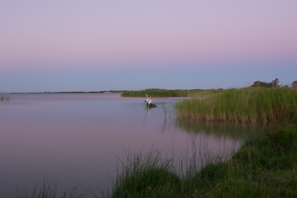
Narrung is a town and locality in the Australian state of South Australia. It is situated at the northern extent of the Narrung Peninsula, which separates The Coorong from Lake Albert (South Australia), Lake Albert adjacent to The Narrows which separates Lake Albert from the larger Lake Alexandrina (South Australia), Lake Alexandrina. The area of Narrung includes the Australian Aboriginal, Aboriginal (Ngarrindjeri) community of Raukkan, South Australia, Raukkan. Narrung is located within the federal division of division of Barker, Barker, the state electoral district of Electoral district of MacKillop, MacKillop and the local government area of the Coorong District Council. See also *List of crossings of the Murray River *Loveday Bay (South Australia) References Towns in South Australia {{SouthAustralia-geo-stub ... [...More Info...] [...Related Items...] OR: [Wikipedia] [Google] [Baidu] |
Coorong District Council
Coorong District Council is a Local government in Australia, local government area in South Australia located between the River Murray and the Limestone Coast region. The district covers mostly rural areas with small townships, as well as part of the Coorong National Park. The council was formed in May 1997 with the amalgamation of the District Council of Coonalpyn Downs, the District Council of Meningie and the District Council of Peake. It is geographically the largest council area in South Australia. The economy of the district is based mostly around agriculture. The council seat is at Tailem Bend, South Australia, Tailem Bend; the council also operates service centres in Meningie, South Australia, Meningie and Tintinara, South Australia, Tintinara. The council opened a new civic centre at Tailem Bend on 27 October 2014. This centre is located on Railway Tce and is joined to the Tailem Bend Town Hall. Economy Agriculture is prominent in the district, with grain crops the p ... [...More Info...] [...Related Items...] OR: [Wikipedia] [Google] [Baidu] |
Narrung Peninsula
Nurrang Peninsula is a peninsula in the Australian state of South Australia South Australia (commonly abbreviated as SA) is a States and territories of Australia, state in the southern central part of Australia. With a total land area of , it is the fourth-largest of Australia's states and territories by area, which in ... located at the south east end of Lake Alexandrina. It is bounded by Lake Alexandrina to the west, by Lake Albert to the north and to the east, and by the Coorong to the south. While the name appears to have been in use since the 19th century and by all levels of government in South Australia, the name was not listed in the state government's official list of placenames until January 2020. Its extent is within the localities of Meningie West and Narrung. See also * Loveday Bay (South Australia) References Peninsulas of South Australia Murray River {{SouthAustralia-geo-stub ... [...More Info...] [...Related Items...] OR: [Wikipedia] [Google] [Baidu] |
List Of Crossings Of The Murray River
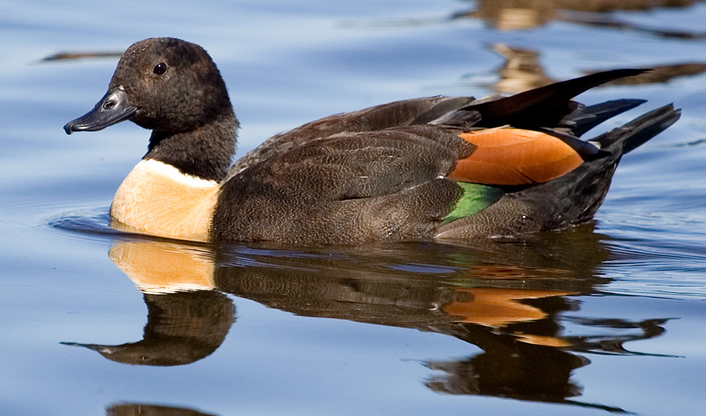
The Murray River in south-eastern Australia has been a significant barrier to land-based travel and trade. This article lists and briefly describes all of the recognised crossing points. Many of these had also developed as river ports for transport of goods along the Murray. Now almost every significant town along the river has a bridge or vehicle-carrying cable ferry nearby. The crossings are listed in order starting from the Murray Mouth and proceeding upstream. South Australia As the ferries are registered as boats, each one has a name, usually named after a waterbird. As of August 2024, the ferry names are: *Narrung: '' Dotterel'' *Wellington: ''Heron'' *Tailem Bend: '' Rosella'' *Mannum large (downstream): ''Water Hen'' *Mannum (small, upstream): ''Pelican'' *Purnong: ''Kingfisher'' *Walker Flat: ''Stilt II '' *Swan Reach: ''Swan'' *Morgan: '' Coot'' *Cadell: ''Albatross II'' *Waikerie: ''Quail'' *Lyrup: ''Cockatoo'' In Victoria and New South Wales The south bank of t ... [...More Info...] [...Related Items...] OR: [Wikipedia] [Google] [Baidu] |
Division Of Barker
The Division of Barker is an Australian electoral division in the south-east of South Australia. The division was established on 2 October 1903, when South Australia's original single multi-member division was split into seven single-member divisions. It is named for Captain Collet Barker, a British military officer and early explorer, prior to the British Settlement of South Australia, of the southern Mount Lofty Ranges, Fleurieu Peninsula and the region at the mouth of the Murray River near the Coorong where he died in 1831 whilst on active duty after successfully solo swimming the channel of water and went compass in hand over a sandhill. Geography The 63,886 km² seat currently stretches from Morgan in the north to Port MacDonnell in the south, taking in the Murray Mallee, the Riverland, the Murraylands and most of the Barossa Valley, and includes the towns of Barmera, Berri, Bordertown, Coonawarra, Keith, Kingston SE, Loxton, Lucindale, Mannum, Mil ... [...More Info...] [...Related Items...] OR: [Wikipedia] [Google] [Baidu] |
Raukkan, South Australia
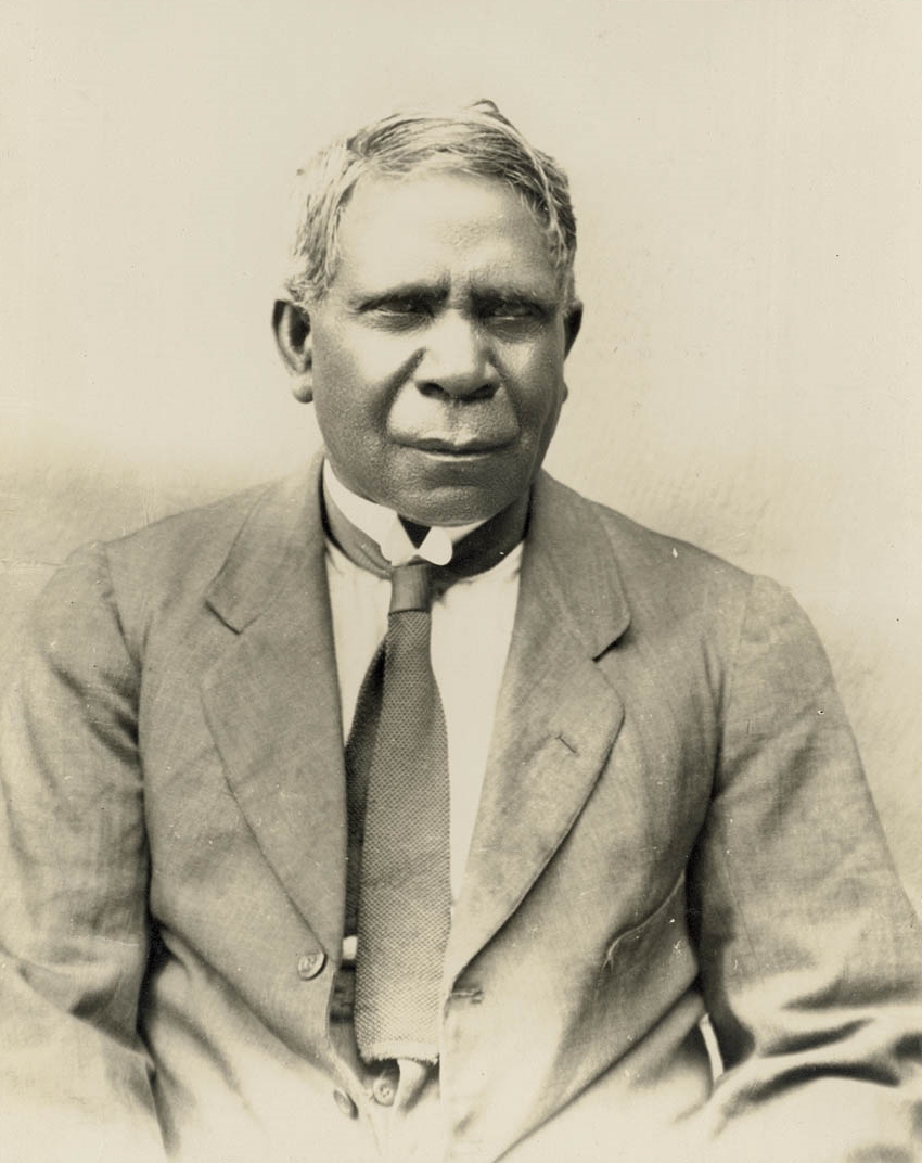
Raukkan is an Australian Aboriginal community situated on the south-eastern shore of Lake Alexandrina in the locality of Narrung, southeast of the centre of South Australia's capital, Adelaide. Raukkan is "regarded as the home and heartland of Ngarrindjeri country." It was originally established as Point McLeay mission in 1859 and became an Aboriginal reserve in 1916. It was finally handed back to the Ngarrindjeri people in 1974, and renamed Raukkan in 1982. History Raukkan, which means "meeting place" in the Ngarrindjeri language,Whitehorn, p. 15. was for thousands of years an important meeting place for Ngarrindjeri "lakalinyeri" (clans) and the location of the Grand Tendi, the parliament of the Ngarrindjeri people.Mussared, D., "River people question price of 'progress', ''The Canberra Times'', 18 January 1993, p. 3. The Grand Tendi was composed of men elected from each of the eighteen lakalinyeri who then elected from its members the Rupulle or leader.Raukkan, p. ... [...More Info...] [...Related Items...] OR: [Wikipedia] [Google] [Baidu] |
Ngarrindjeri
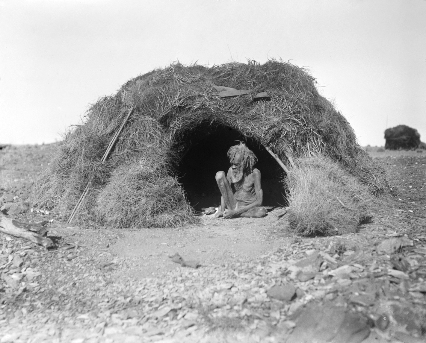
The Ngarrindjeri people are the traditional Aboriginal Australian people of the lower Murray River, eastern Fleurieu Peninsula, and the Coorong of the southern-central area of the state of South Australia. The term ''Ngarrindjeri'' means "belonging to men", and refers to a "tribal constellation". The Ngarrindjeri actually comprised several distinct if closely related tribal groups, including the Jarildekald people, Jarildekald, Tanganekald people, Tanganekald, Meintangk people, Meintangk and Ramindjeri, who began to form a unified cultural bloc after remnants of each separate community congregated at Raukkan, South Australia (formerly Point McLeay Mission). A descendant of these peoples, Irene Watson, has argued that the notion of Ngarrindjeri identity is a cultural construct imposed by settler colonialists, who bundled together and conflated a variety of distinct Aboriginal cultural and kinship groups into one homogenised pattern, now known as Ngarrindjeri. Historical designa ... [...More Info...] [...Related Items...] OR: [Wikipedia] [Google] [Baidu] |
Australian Aboriginal
Aboriginal Australians are the various indigenous peoples of the Mainland Australia, Australian mainland and many of its islands, excluding the ethnically distinct people of the Torres Strait Islands. Humans first migrated to Australia (continent), Australia 50,000 to 65,000 years ago, and over time formed as many as 500 List of Aboriginal Australian group names, language-based groups. In the past, Aboriginal people lived over large sections of the continental shelf. They were isolated on many of the smaller offshore islands and Tasmania when the land was inundated at the start of the Holocene Interglacial, inter-glacial period, about 11,700 years ago. Despite this, Aboriginal people maintained extensive networks within the continent and certain groups maintained relationships with Torres Strait Islanders and the Makassar people, Makassar people of modern-day Indonesia. Over the millennia, Aboriginal people developed complex trade networks, inter-cultural relationships, law ... [...More Info...] [...Related Items...] OR: [Wikipedia] [Google] [Baidu] |
Lake Alexandrina (South Australia)
Lake Alexandrina is a coastal freshwater lake located between the Fleurieu and Kangaroo Island and Murray and Mallee regions of South Australia, about south-east of Adelaide. The lake adjoins the smaller Lake Albert (together known as the Lower Lakes) and a coastal lagoon called The Coorong to its southeast, before draining into the Great Australian Bight via a short, narrow opening known as Murray Mouth. Nomenclature Aboriginal naming Aboriginal people having an association with the lake were reported as knowing it by such names as ''Mungkuli,'' ''Parnka'' and ''Kayinga.'' European naming English settlers named the lake after Princess Alexandrina, niece and successor of King William IV of Great Britain and Ireland. When the princess ascended the throne and took the name Queen Victoria, there was some talk of changing the name of the lake to Lake Victoria, but the idea was dropped. Description Lake Alexandrina is located north of Encounter Bay and east of Fleurieu Penins ... [...More Info...] [...Related Items...] OR: [Wikipedia] [Google] [Baidu] |
Lake Albert (South Australia)
Lake Albert, also known by its Ngarrindjeri language, Ngarrindjeri name, Yarli, is a notionally fresh water lake near the mouth of the Murray River in South Australia. It is filled by water flowing in from the larger Lake Alexandrina (South Australia), Lake Alexandrina at its mouth near Narrung, South Australia, Narrung. It is separated on the south by the Narrung Peninsula from the salt-water Coorong. The only major town on the lake is Meningie, South Australia, Meningie. Lakes Alexandrina and Albert are together known as the Lower Lakes. Naming of lake The lake was named after Albert, Prince Consort, Prince Albert, the Consort of Queen Victoria, by George Gawler, the Governor of South Australia. Tourism Lake Albert is visited regularly by people travelling to and from Melbourne, the Limestone Coast, the Coorong National Park, Tailem Bend, Murray Bridge, and Adelaide. Visitors enjoy fishing, camping, bushwalking, 4WD tracks, bird watching and water sports. Water problems ... [...More Info...] [...Related Items...] OR: [Wikipedia] [Google] [Baidu] |
The Coorong
Coorong National Park is a protected area located in South Australia about south-east of Adelaide, that predominantly covers a coastal lagoon ecosystem officially known as The Coorong and the Younghusband Peninsula on the Coorong's southern side. The western end of the Coorong lagoon is at the Murray Mouth near Hindmarsh Island and the Sir Richard Peninsula, and it extends about south-eastwards. Road access is from Meningie. The beach on the coastal side of the peninsula, the longest in Australia, is also commonly called The Coorong. The Coorong lies within the traditional lands of the Ngarrindjeri people, an Aboriginal Australian group. Notable locations within the park include Salt Creek, Policeman's Point, Jack Point, and Woods Well. Etymology Its name is thought to be a corruption of the Ngarrindjeri word ''kurangk'', also written ''Kurangh'', meaning a long or narrow lagoon or neck. History The Coorong National Park was proclaimed on 9 November 1967 under the ... [...More Info...] [...Related Items...] OR: [Wikipedia] [Google] [Baidu] |
South Australia
South Australia (commonly abbreviated as SA) is a States and territories of Australia, state in the southern central part of Australia. With a total land area of , it is the fourth-largest of Australia's states and territories by area, which includes some of the most arid parts of the continent, and with 1.8 million people. It is the fifth-largest of the states and territories by population. This population is the second-most highly centralised in the nation after Western Australia, with more than 77% of South Australians living in the capital Adelaide or its environs. Other population centres in the state are relatively small; Mount Gambier, the second-largest centre, has a population of 26,878. South Australia shares borders with all the other mainland states. It is bordered to the west by Western Australia, to the north by the Northern Territory, to the north-east by Queensland, to the east by New South Wales, to the south-east by Victoria (state), Victoria, and to the s ... [...More Info...] [...Related Items...] OR: [Wikipedia] [Google] [Baidu] |
Murray And Mallee
In South Australia, one of the states of Australia, there are many areas which are commonly known by regional names. Regions are areas that share similar characteristics. These characteristics may be natural such as the Murray River, the coastline, desert or mountains. Alternatively, the characteristics may be cultural, such as common land use. South Australia is divided by numerous sets of regional boundaries, based on different characteristics. In many cases boundaries defined by different agencies are coterminous. Informal divisions Convention and common use has divided South Australia into a number of regions. These do not always have strict boundaries between them and have no general administrative function or status. Many of them correspond to regions used by various administrative or government agencies, but they do not always have the same boundaries or aggregate in the same way. The generally accepted regions are: * Adelaide Plains (the northern part is sometimes know ... [...More Info...] [...Related Items...] OR: [Wikipedia] [Google] [Baidu] |


