|
Moekākara
In Māori tradition, ''Moekākara'' was one of the great ocean-going, voyaging canoes that was used in the migrations that settled New Zealand. It was captained by Tāhuhunui-o-te-rangi, the ancestor of Ngāi Tāhuhu. The canoe first landed at Wakatuwhenua, near Te Arai north of Auckland. Ngāi Tāhuhu settled at Pouerua in the Bay of Islands and the Mangakahia River in Northland, as well as Ōtāhuhu (on Mount Richmond) in Auckland. See also *List of Māori waka A ''list'' is any set of items in a row. List or lists may also refer to: People * List (surname) Organizations * List College, an undergraduate division of the Jewish Theological Seminary of America * SC Germania List, German rugby union ... References Māori waka Māori mythology {{Māori-myth-stub ... [...More Info...] [...Related Items...] OR: [Wikipedia] [Google] [Baidu] |
Te Arai
Te Arai is a small community on the east coast of the North Island of New Zealand, near the northern end of the Auckland Region (specifically within the former Rodney District). Mangawhai lies to the north, and Tomarata to the south. The name of the suburb comes from Tāhuhunui-o-te-rangi, captain of the '' Moekākara'' waka, who landed here and set up a temporary shelter (''arai''). Tāhuhunui-o-te-rangi was later buried at Te Arai. Te Arai Beach is a sandy bottom beach and is a very popular surfing destination, rated one of the best surf locations in the Auckland region. Tourism and farming are the predominant activities in the area. Among the bird species found here is the critically endangered New Zealand fairy tern, of which only 11 breeding pairs are left in the world. Auckland Council owns Te Arai Regional Park. Te Arai Beach is the exact antipode of Gibraltar ) , anthem = " God Save the King" , song = "Gibraltar Anthem" , image_map = Gibraltar location in Europ ... [...More Info...] [...Related Items...] OR: [Wikipedia] [Google] [Baidu] |
Ōtāhuhu
Ōtāhuhu is a suburb of Auckland, New Zealand – to the southeast of the CBD, on a narrow isthmus between an arm of the Manukau Harbour to the west and the Tamaki River estuary to the east. The isthmus is the narrowest connection between the North Auckland Peninsula and the rest of the North Island, being only some wide at its narrowest point, between the Otahuhu Creek and the Mangere Inlet. As the southernmost suburb of the former Auckland City, it is considered part of South Auckland. The suburb's name is taken from the Māori-language name of the volcanic cone known as Ōtāhuhu / Mount Richmond. The name refers to "the place of Tāhuhu" — the eponymous ancestor, Tāhuhu-nui-a-Rangi, of Ngāi Tāhuhu. Demographics Ōtāhuhu, comprising the statistical areas of Ōtāhuhu Industrial, Ōtāhuhu Central, Ōtāhuhu North, Ōtāhuhu East, Ōtāhuhu South West and Ōtāhuhu South, had a population of 15,165 at the 2018 New Zealand census, an increase of 1,599 people (11.8 ... [...More Info...] [...Related Items...] OR: [Wikipedia] [Google] [Baidu] |
Māori Mythology
Māori mythology and Māori traditions are two major categories into which the remote oral history of New Zealand's Māori may be divided. Māori myths concern fantastic tales relating to the origins of what was the observable world for the pre-European Māori, often involving gods and demigods. Māori tradition concerns more folkloric legends often involving historical or semi-historical forebears. Both categories merge in to explain the overall origin of the Māori and their connections to the world which they lived in. Māori had yet to invent a writing system before European contact, beginning in 1769, so they had no method to permanently record their histories, traditions, or mythologies. They relied on oral retellings memorised from generation to generation. The three forms of expression prominent in Māori and Polynesian oral literature are genealogical recital, poetry, and narrative prose. Experts in these subjects were broadly known as . The rituals, beliefs, and g ... [...More Info...] [...Related Items...] OR: [Wikipedia] [Google] [Baidu] |
Māori Migration Canoes
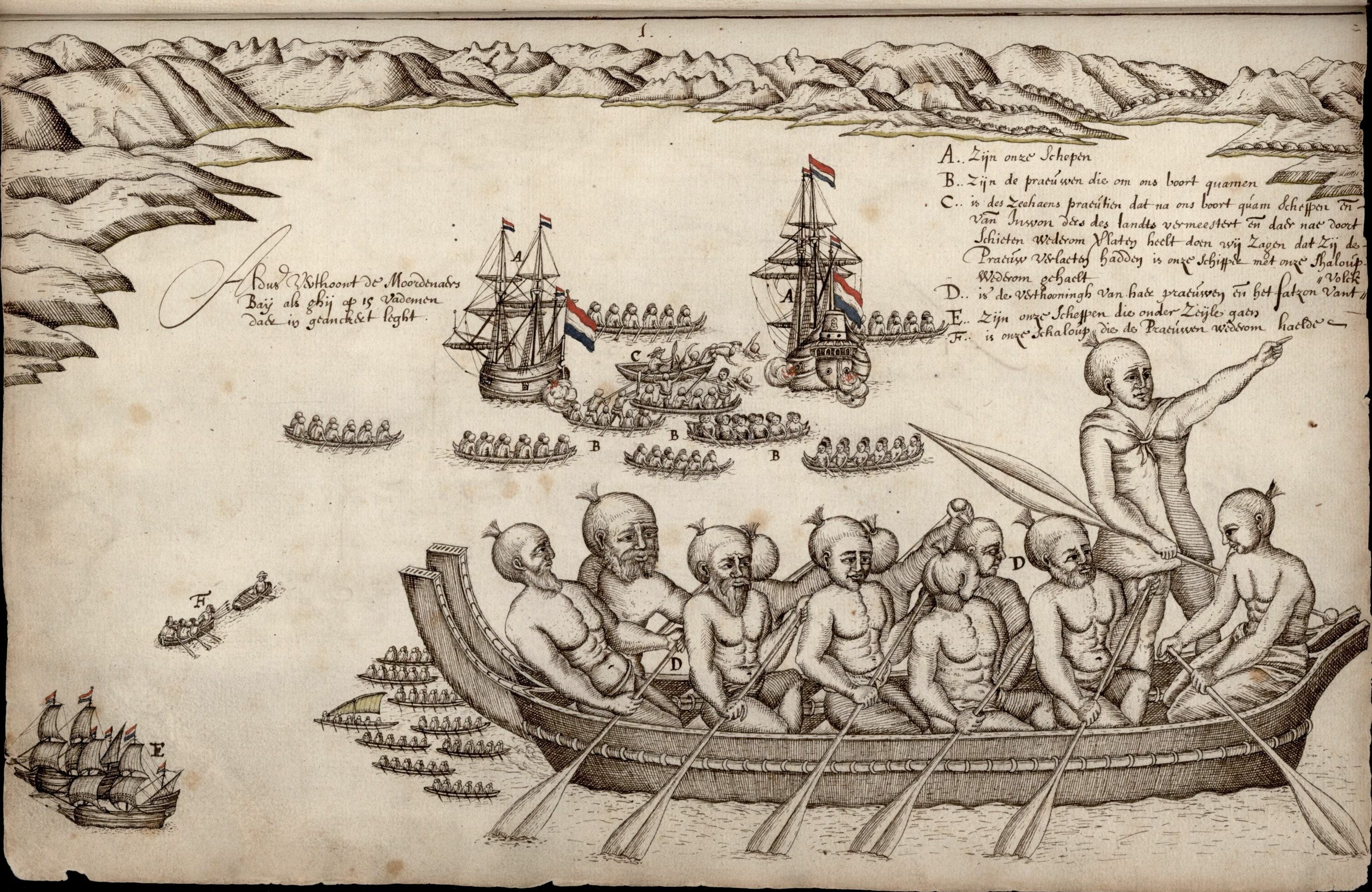
Various Māori traditions recount how their ancestors set out from their homeland in ''waka hourua'', large twin-hulled ocean-going canoes (''waka''). Some of these traditions name a mythical homeland called Hawaiki. Among these is the story of Kupe, who had eloped with Kuramarotini, the wife of Hoturapa, the owner of the great canoe '' Matahourua'', whom Kupe had murdered. To escape punishment for the murder, Kupe and Kura fled in Matahourua and discovered a land he called Aotearoa ('land of the long-white-cloud'). He explored its coast and killed the sea monster Te Wheke-a-Muturangi, finally returning to his home to spread the news of his newly discovered land. Other stories of various Māori tribes report migrations to escape famine, over-population, and warfare. These were made in legendary canoes, the best known of which are '' Aotea'', ''Te Arawa'', '' Kurahaupō'', ''Mātaatua'', '' Tainui'', '' Tākitimu'', and '' Tokomaru''. Various traditions name numerous other ... [...More Info...] [...Related Items...] OR: [Wikipedia] [Google] [Baidu] |
New Zealand
New Zealand ( mi, Aotearoa ) is an island country in the southwestern Pacific Ocean. It consists of two main landmasses—the North Island () and the South Island ()—and over 700 smaller islands. It is the sixth-largest island country by area, covering . New Zealand is about east of Australia across the Tasman Sea and south of the islands of New Caledonia, Fiji, and Tonga. The country's varied topography and sharp mountain peaks, including the Southern Alps, owe much to tectonic uplift and volcanic eruptions. New Zealand's capital city is Wellington, and its most populous city is Auckland. The islands of New Zealand were the last large habitable land to be settled by humans. Between about 1280 and 1350, Polynesians began to settle in the islands and then developed a distinctive Māori culture. In 1642, the Dutch explorer Abel Tasman became the first European to sight and record New Zealand. In 1840, representatives of the United Kingdom and Māori chiefs signed th ... [...More Info...] [...Related Items...] OR: [Wikipedia] [Google] [Baidu] |
Immigration New Zealand
Immigration New Zealand ( mi, Te Ratonga Manene; INZ), formerly the New Zealand Immigration Service (NZIS), is the agency within the New Zealand Ministry of Business, Innovation and Employment (MBIE) that is responsible for border control, issuing travel visas and managing immigration to New Zealand. History Immigration Department, 1909–1946 Immigration New Zealand's origins can be traced back to an informal "Immigration Department" that was established within the Lands and Survey Department in 1909. The Immigration Department was tasked with finding employment for new immigrants. In response to demand for more workers in the manufacturing sector, Prime Minister William Massey announced the formation of an official Immigration Department in 1912. This Immigration Department initially had six staff and was headed by J.E. Smith. This Department assumed the immigration functions of the Public Works and Lands and Survey Departments. However, the First World War prevented ... [...More Info...] [...Related Items...] OR: [Wikipedia] [Google] [Baidu] |
Ministry Of Business, Innovation And Employment
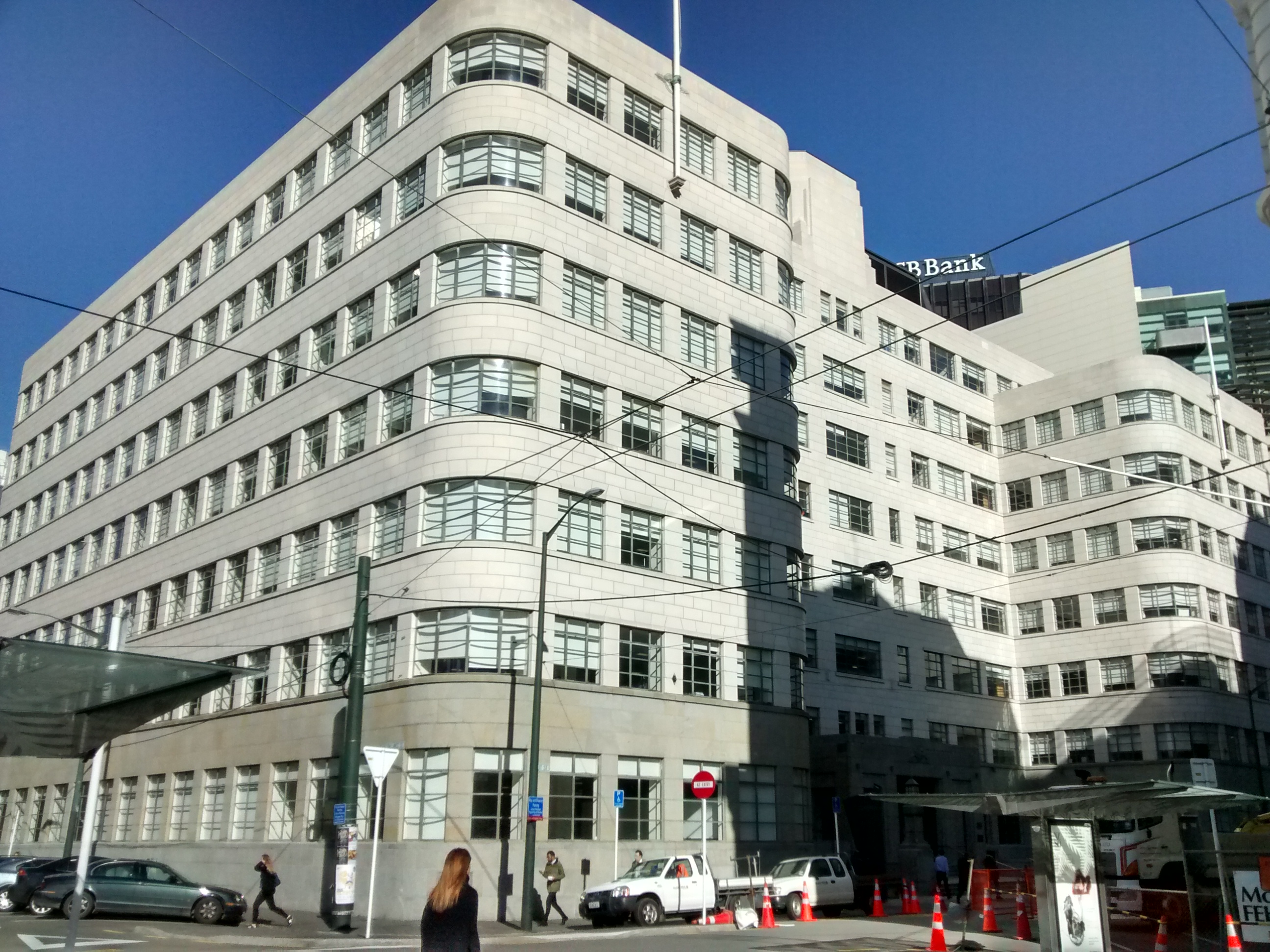
The Ministry of Business, Innovation and Employment (MBIE; mi, Hīkina Whakatutuki) is the public service department of New Zealand charged with "delivering policy, services, advice and regulation" which contribute to New Zealand's economic productivity and business growth. History Formed on 1 July 2012, MBIE is a merger of the Department of Building and Housing (DBH), the Department of Labour (DoL), the Ministry of Economic Development (MED), and the Ministry of Science and Innovation (MSI). In October 2018, the newly created Ministry of Housing and Urban Development (HUD) assumed several of MBIE's housing and social policy, funding and regulatory functions including the KiwiBuild programme, the Community Housing Regulatory Authority, and administration of funding for the HomeStart, Welcome Home Loans, the legacy Social Housing Fund and Community Group Housing programmes. On 14 July 2020, the Ministry assumed responsibility for running the New Zealand Government's C ... [...More Info...] [...Related Items...] OR: [Wikipedia] [Google] [Baidu] |
The Journal Of The Polynesian Society
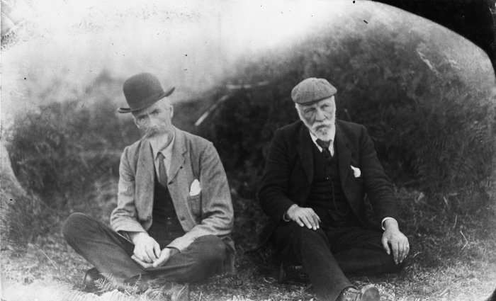
The Polynesian Society is a non-profit organisation based at the University of Auckland, New Zealand, dedicated to the scholarly study of the history, ethnography, and mythology of Oceania. History The society was co-founded in 1892 by Percy Smith and Edward Tregear, largely in response to a conviction, widely held at the time, that the Māori and other Polynesian peoples were a dying race. Smith and his friends hoped that it would help to preserve the traditional lore of the Māori before it disappeared and provide scholars with a forum for learned discussion of their ethnographic research (Byrnes 2006). The initial membership of the society was 112, which had grown to 1,300 by 1965. Presidents have included bishops H. W. and W. L. Williams; James Pope, Edward Tregear, Percy Smith, Elsdon Best, William Skinner, Sir Āpirana Ngata, Harry Skinner, J. M. McEwen, Professor Sir Hugh Kawharu and Dame Joan Metge. The present president is Dr Richard Benton. Until her death in ... [...More Info...] [...Related Items...] OR: [Wikipedia] [Google] [Baidu] |
Pouerua
Pouerua is a 270 m high basaltic scoria cone, in the Kaikohe-Bay of Islands volcanic field in New Zealand. It is in the locality of Pakaraka and was the site of a pā that was studied during a major archeological project in the 1980s. Pouerua is registered with the Historic Places Trust as a traditional site (Registration Number 6711). The last Māori who occupied Pouerua were the Ngāti Rāhiri subtribe of Ngāpuhi Ngāpuhi (or Ngā Puhi) is a Māori iwi associated with the Northland region of New Zealand and centred in the Hokianga, the Bay of Islands, and Whangārei. According to the 2018 New Zealand census, the estimated population of Ngāpuhi is 16 .... They left in about 1860. According to the Historic Places Trust, Pouerua is considered the origin and the watershed or pou of the two tribal areas of Ngapuhi, at the Hokianga in the west and Taumarere in the east. References The Archaeology of Pouerua (Auckland University Press) [...More Info...] [...Related Items...] OR: [Wikipedia] [Google] [Baidu] |
Bay Of Islands
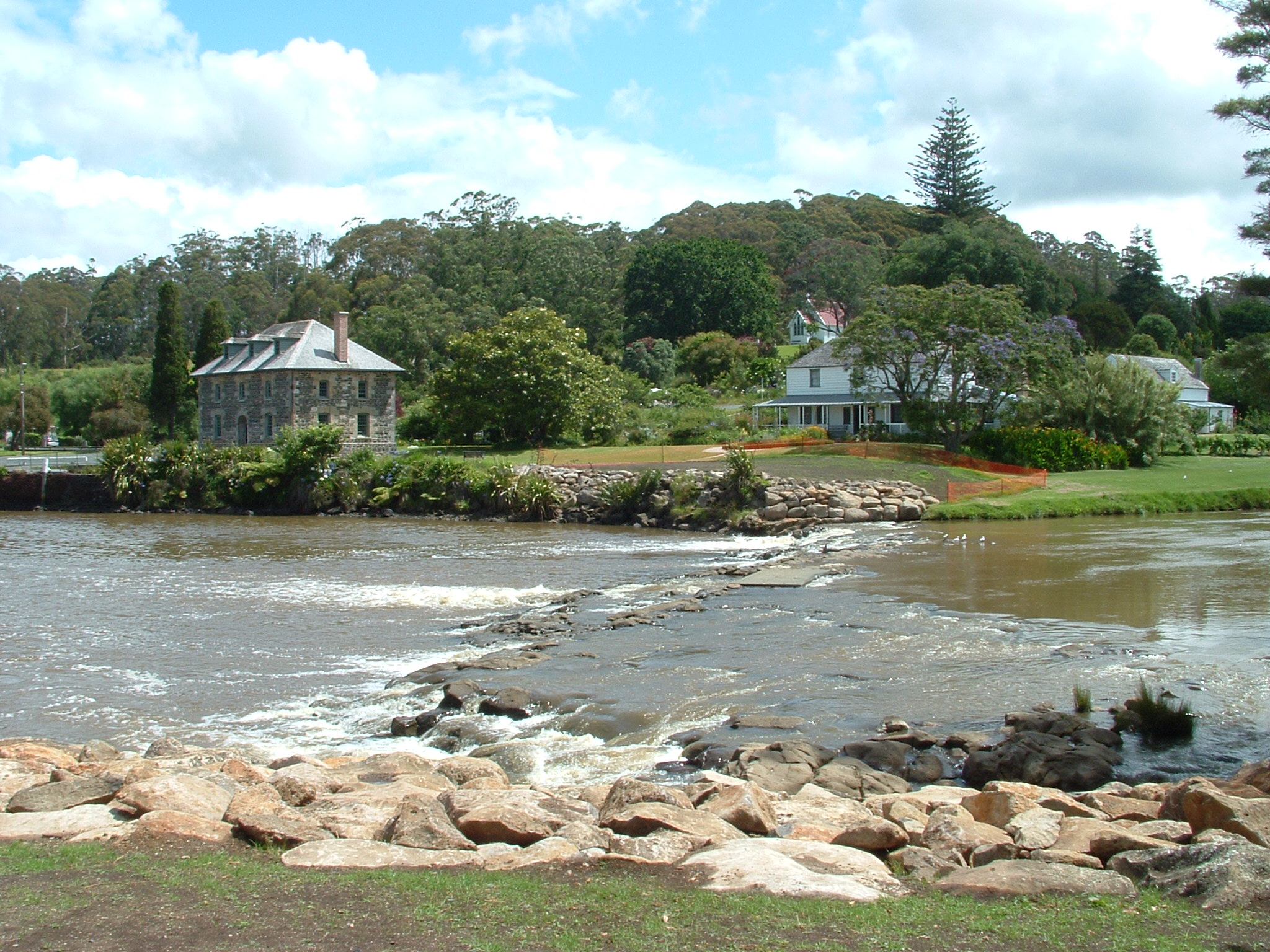
The Bay of Islands is an area on the east coast of the Far North District of the North Island of New Zealand. It is one of the most popular fishing, sailing and tourist destinations in the country, and has been renowned internationally for its big-game fishing since American author Zane Grey publicised it in the 1930s. It is north-west of the city of Whangarei. Cape Reinga, at the northern tip of the country, is about by road further to the north-west. Geography The bay itself is an irregularly-shaped -wide, drowned valley system and a natural harbour. It contains 144 islands, of which the largest is Urupukapuka, and numerous peninsulas and inlets. The three largest inlets are Waikare Inlet in the south, and Kerikeri and Te Puna (Mangonui) inlets in the north-west. The Purerua Peninsula, north of Te Puna Inlet, separates the north-western part of the bay from the Pacific Ocean, and Cape Brett Peninsula extends into the ocean at the eastern end of the bay. The biggest ... [...More Info...] [...Related Items...] OR: [Wikipedia] [Google] [Baidu] |
Northland Region
The Northland Region ( mi, Te Tai Tokerau) is the northernmost of New Zealand's 16 regions of New Zealand, local government regions. New Zealanders sometimes refer to it as the Winterless North because of its mild climate all throughout the year. The main population centre is the city of Whangārei, and the largest town is Kerikeri. At the 2018 New Zealand census, Northland recorded a population growth spurt of 18.1% since the previous 2013 New Zealand census, 2013 census, placing it as the fastest growing region in New Zealand, ahead of other strong growth regions such as the Bay of Plenty (2nd with 15%) and Waikato (3rd with 13.5%). Geography The Northland Region occupies the northern 80% (265 km) of the 330 km Northland Peninsula, the southernmost part of which is in the Auckland Region. Stretching from a line at which the peninsula narrows to a width of just 15 km a little north of the town of Wellsford, Northland Region extends north to the tip of the North ... [...More Info...] [...Related Items...] OR: [Wikipedia] [Google] [Baidu] |


