|
Mühlenbecker Land
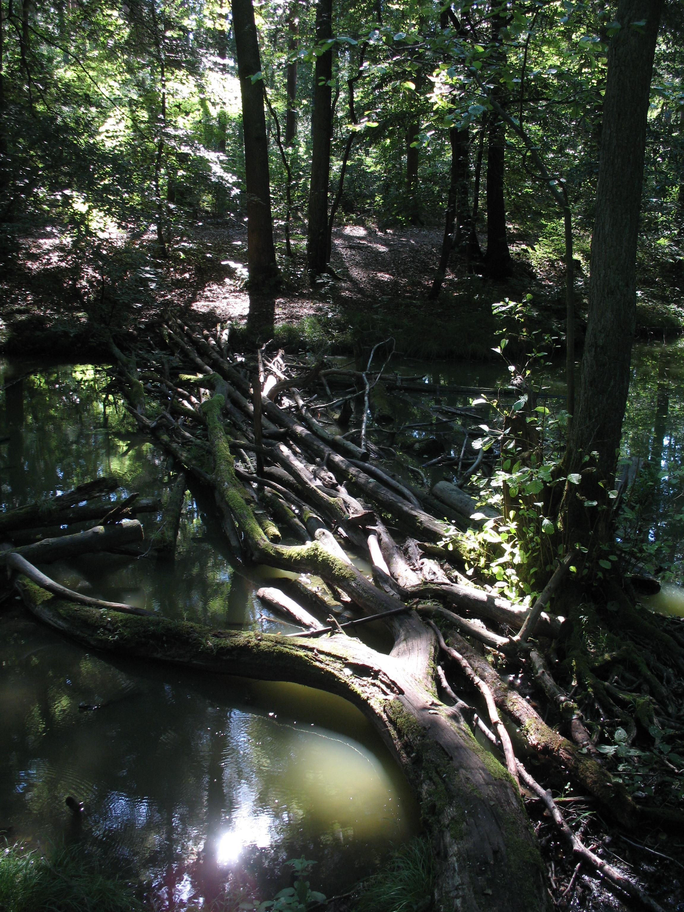
Mühlenbecker Land is a municipality in the Oberhavel district, in Brandenburg, Germany. History The municipality shared its borders partly with the former West Berlin, and so during the period 1961-1990 it was separated from it by the Berlin Wall. The municipality of Mühlenbecker Land was founded on October 26, 2003 by merging the districts of Mühlenbeck, Schildow, Schönfließ and Zühlsdorf. File:Muehlenbecker_See.jpg, Lake "Mühlenbecker See" File:Muehlenbeck_Tegeler_Fliess.jpg, Tegeler Fließ Traffic Road In Mühlenbeck there is exit 34 of the Bundesautobahn 10. As the B 96a and the L21. Berliner S-Bahn The stations Mühlenbeck-Mönchmühle and Schönfließ Demography File:Bevölkerungsentwicklung Mühlenbecker Land.pdf, Development of population since 1875 within the current Boundaries (Blue Line: Population; Dotted Line: Comparison to Population development in Brandenburg state; Grey Background: Time of Nazi Germany; Red Background: Time of communis ... [...More Info...] [...Related Items...] OR: [Wikipedia] [Google] [Baidu] |
Municipalities Of Germany
MunicipalitiesCountry Compendium. A companion to the English Style Guide European Commission, May 2021, pages 58–59. (, ; singular ) are the lowest level of official territorial division in . This can be the second, third, fourth or fifth level of territorial division, depending on the status of the municipality and the '''' (federal state) it is part of. The city-states Berlin, Brem ... [...More Info...] [...Related Items...] OR: [Wikipedia] [Google] [Baidu] |
East Germany
East Germany, officially known as the German Democratic Republic (GDR), was a country in Central Europe from Foundation of East Germany, its formation on 7 October 1949 until German reunification, its reunification with West Germany (FRG) on 3 October 1990. Until 1989, it was generally viewed as a communist state and described itself as a Socialist state, socialist "workers' and peasants' state". The Economy of East Germany, economy of the country was Central planning, centrally planned and government-owned corporation, state-owned. Although the GDR had to pay substantial war reparations to the Soviets, its economy became the most successful in the Eastern Bloc. Before its establishment, the country's territory was administered and occupied by Soviet forces following the Berlin Declaration (1945), Berlin Declaration abolishing German sovereignty in World War II. The Potsdam Agreement established the Soviet occupation zone in Germany, Soviet-occupied zone, bounded on the east b ... [...More Info...] [...Related Items...] OR: [Wikipedia] [Google] [Baidu] |
Nazi Germany
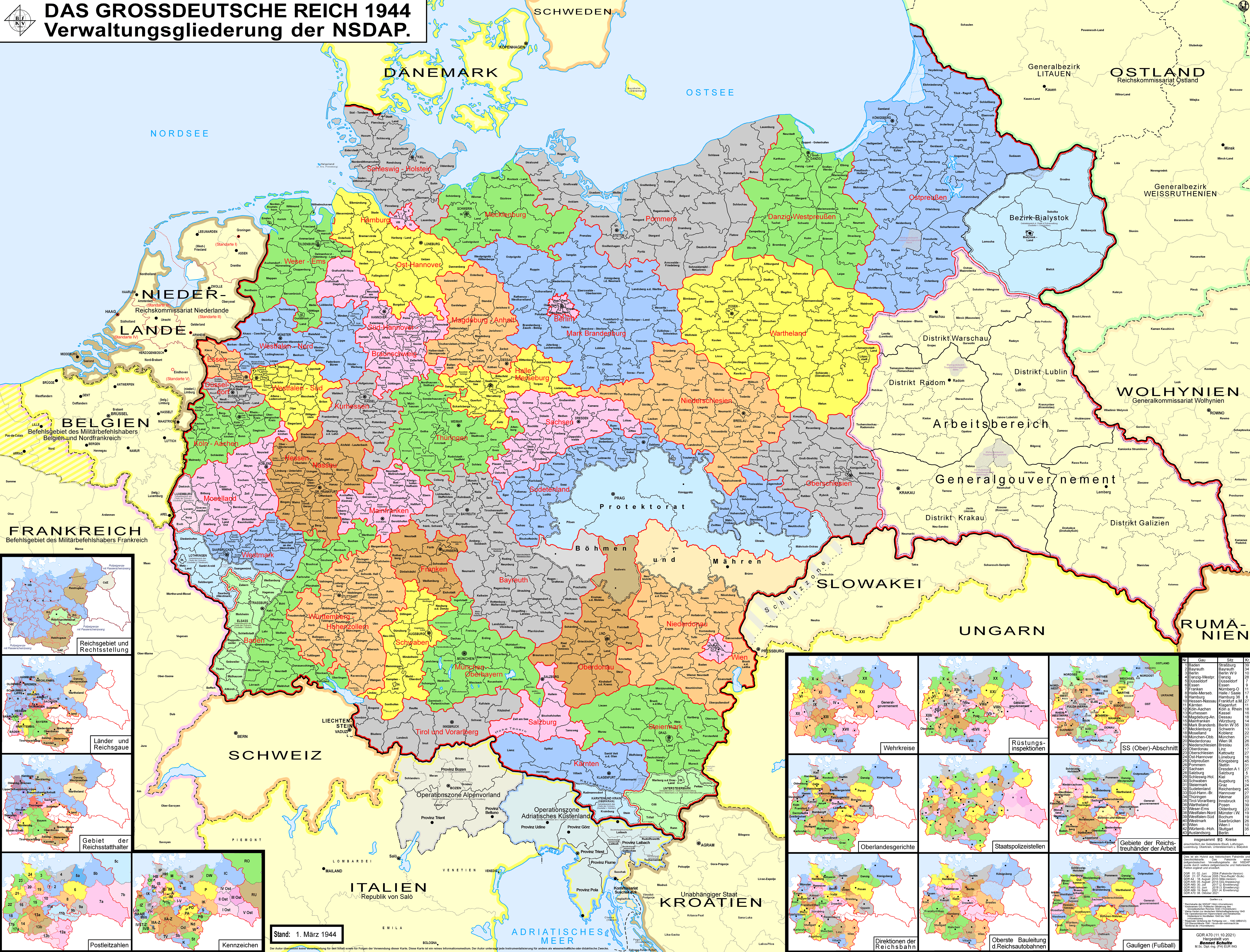
Nazi Germany, officially known as the German Reich and later the Greater German Reich, was the German Reich, German state between 1933 and 1945, when Adolf Hitler and the Nazi Party controlled the country, transforming it into a Totalitarianism, totalitarian dictatorship. The Third Reich, meaning "Third Realm" or "Third Empire", referred to the Nazi claim that Nazi Germany was the successor to the earlier Holy Roman Empire (800–1806) and German Empire (1871–1918). The Third Reich, which the Nazis referred to as the Thousand-Year Reich, ended in May 1945, after 12 years, when the Allies of World War II, Allies defeated Germany and entered the capital, Berlin, End of World War II in Europe, ending World War II in Europe. After Hitler was appointed Chancellor of Germany in 1933, the Nazi Party began to eliminate political opposition and consolidate power. A 1934 German referendum confirmed Hitler as sole ''Führer'' (leader). Power was centralised in Hitler's person, an ... [...More Info...] [...Related Items...] OR: [Wikipedia] [Google] [Baidu] |
Schönfließ Station
Schönfließ is a railway station in the Oberhavel district of Brandenburg. It is served by the S-Bahn line . It lies on the Berlin outer ring The Berlin outer ring (, BAR) is a long double track electrified railway, originally built by the German Democratic Republic to bypass West Berlin in preparation for the building of the Berlin Wall during the division of Germany. It was develop ... and was formerly served by regional trains. References Berlin S-Bahn stations Railway stations in Brandenburg Buildings and structures in Oberhavel Railway stations in Germany opened in 1953 {{Brandenburg-railstation-stub ... [...More Info...] [...Related Items...] OR: [Wikipedia] [Google] [Baidu] |
Mühlenbeck-Mönchmühle Station
Mühlenbeck-Mönchmühle is a railway station in the Oberhavel district of Brandenburg. It is served by the S-Bahn The S-Bahn ( , ), , is a hybrid urban rail, urban–suburban rail system serving a metropolitan region predominantly in German language, German-speaking countries. Some of the larger S-Bahn systems provide service similar to rapid transit syst ... line . The station was opened on 2 September 1984. The station is one of the few, which is just single-track. It does not cause problems, because only every 10 minutes a train stops (from each side every 20 minutes). References Berlin S-Bahn stations Railway stations in Brandenburg Buildings and structures in Oberhavel Railway stations in Germany opened in 1984 {{Brandenburg-railstation-stub ... [...More Info...] [...Related Items...] OR: [Wikipedia] [Google] [Baidu] |
Bundesautobahn 10
is an ring road, orbital motorway around the German capital city of Berlin. Colloquially called ''Berliner Ring (Berlin Beltway)'', it is predominantly located in the state of Brandenburg, with a short stretch of in Berlin itself. It should not be confused with the ''Berliner Stadtring'' (Bundesautobahn 100) around Berlin's inner city. With a total length of , the BAB 10 is the longest orbital in continental Europe (Route 1 (Iceland), Route 1 in Iceland is 1,322 km (821 mi)). The BAB 10 is longer than the M25 motorway around London. Course The highway route markers run clockwise from the Interchange (road), interchange at Panketal, Schwanebeck (the former Prenzlau branch-off), where the Bundesautobahn 11 runs to Szczecin, Poland via the Nadrensee, Pomellen/Kołbaskowo border crossing and the Polish A6 autostrada (Poland), A6 autostrada. From here the beltway leads southwards to the Grünheide (Mark), Spreeau interchange with the Bundesautobahn 12 to Frankfurt (Oder) ... [...More Info...] [...Related Items...] OR: [Wikipedia] [Google] [Baidu] |
Tegeler Fließ
The Tegeler Fließ () is a 30 km stream in Brandenburg and Berlin, and is named after the Tegel district of Berlin through which it flows. The river's source is in Basdorf in Wandlitz and it flows down into Lake Tegel. The Kindelfließ is a tributary A tributary, or an ''affluent'', is a stream or river that flows into a larger stream (''main stem'' or ''"parent"''), river, or a lake. A tributary does not flow directly into a sea or ocean. Tributaries, and the main stem river into which they ... of it. External links Rivers of Berlin Rivers of Brandenburg Rivers of Germany {{Brandenburg-river-stub ... [...More Info...] [...Related Items...] OR: [Wikipedia] [Google] [Baidu] |
Schönfließ (Mühlenbecker Land)
Schönfließ or Schönfliess refers to: * Schönfließ railway station in Brandenburg, Germany * Schönfließ, the German name of Komsomolskoye Microdistrict, Kaliningrad, Russia * Schönfließ, the German name of Przydwórz, Poland * Bad Schönfließ, the German name of Trzcińsko-Zdrój Trzcińsko-Zdrój (; ) is a town in Gryfino County, West Pomeranian Voivodeship, Poland, with 2,591 inhabitants (2005). It is also the centre of an urban-rural municipality with the same name, an area of about 170 km2, and about 5700 inhabi ..., Poland {{DEFAULTSORT:Schonfliess German words and phrases ... [...More Info...] [...Related Items...] OR: [Wikipedia] [Google] [Baidu] |
Oberhavel
Oberhavel is a ''Kreis'' (district) in the northern part of Brandenburg, Germany. Its neighbouring districts are (clockwise from the north): Mecklenburgische Seenplatte (district) in Mecklenburg-Western Pomerania, the districts of Uckermark and Barnim, the ''Bundesland'' of Berlin, and the districts of Havelland and Ostprignitz-Ruppin. Geography The district is located on the upper course of the Havel river from its source to the outskirts of Berlin. The north is characterised by many lakes including the Großer Stechlinsee, which is well known thanks to a novel by Theodor Fontane called ''Der Stechlin''. History The district was created on 6 December 1993 through the merging of the old Gransee and Oranienburg districts. Coat of arms The coat of arms shows the eagle as the symbol of Brandenburg in the upper part. In the lower half are two flying swans on green background representing nature with many lakes. The coat of arms was unofficially used by the precursor district of ... [...More Info...] [...Related Items...] OR: [Wikipedia] [Google] [Baidu] |


