|
Morley, Derbyshire
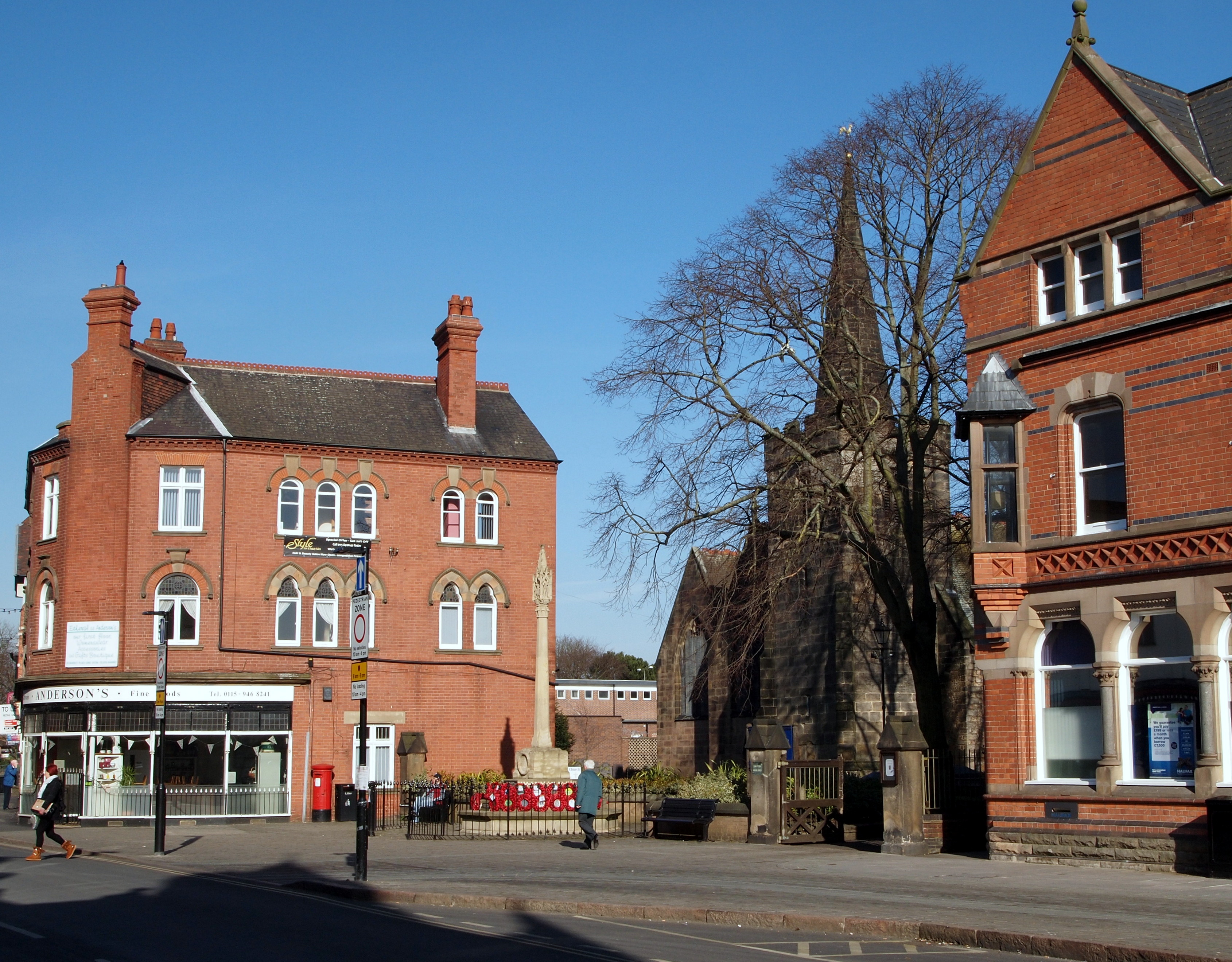
Morley is a village and civil parish within the Borough of Erewash in Derbyshire, England. It is on the eastern side of Morley Moor, with Morley Smithy to the north. The parish church of St Matthew is a grade I listed building and stands near the (converted) Tithe Barn and dovecote of Morley Hall. The church features a wall of stained glass depicting the story of Robert of Knaresborough along the north aisle which came from Dale Abbey in 1539, home of the fine Sacheverell tombs. History Morley is first certainly mentioned in 1009, as ''(in) Moreleage'', though later copies of a 1002 document in which it appears as ''(æt) Morlege'' may be genuine. The name probably means "open ground by a moor", from Old English ''mōr'' " moor, clearing, pasture" + lẽah "open ground, clearing". In 1009 Æþelræd Unræd (King Ethelred the Unready) signed a charter at the Great Council which recognised the position and boundaries of Westune. [...More Info...] [...Related Items...] OR: [Wikipedia] [Google] [Baidu] |
Borough Of Erewash
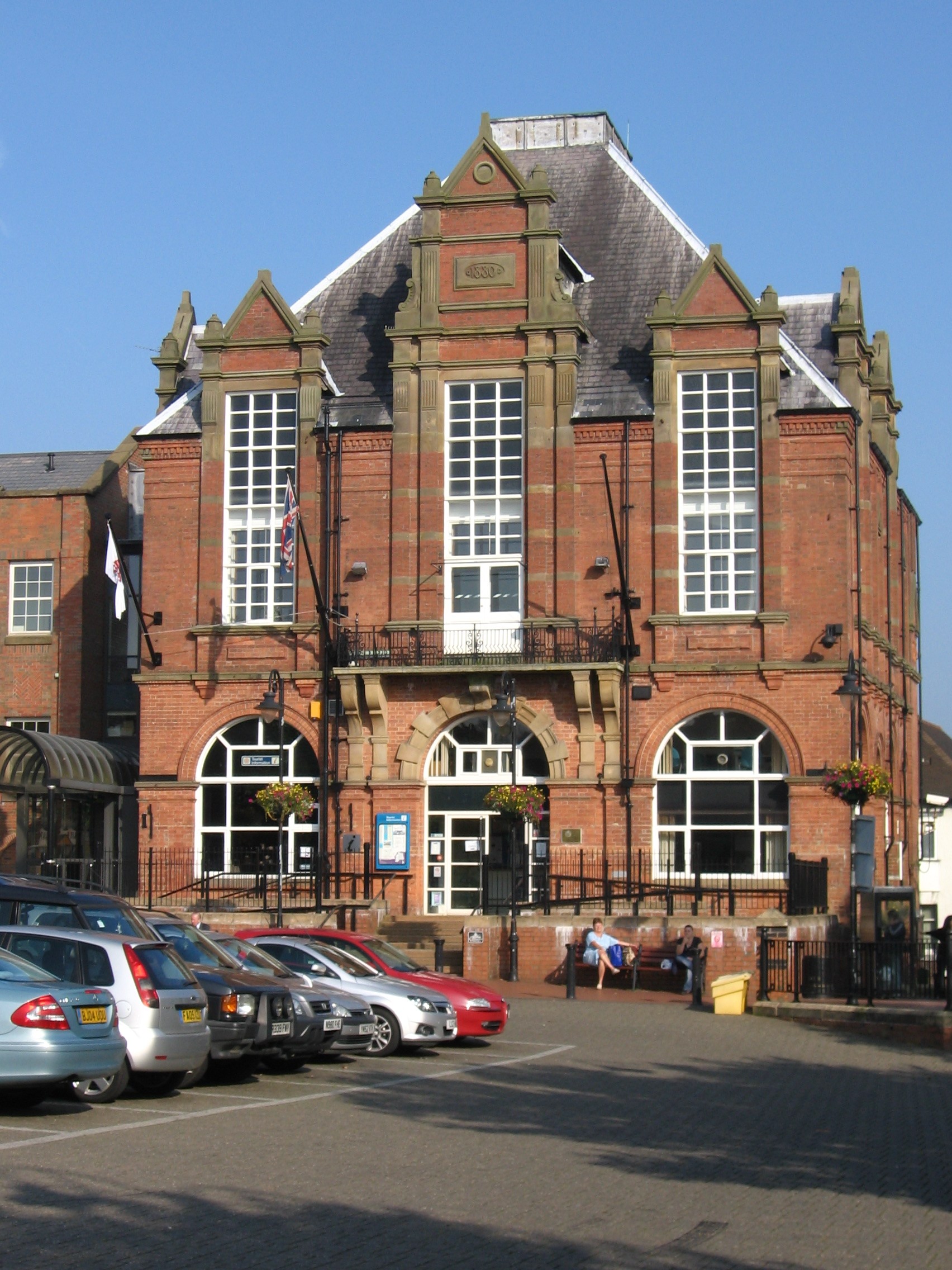
Erewash () is a local government district with borough status in Derbyshire, England, to the east of Derby and the west of Nottingham. The population of the district as taken at the 2011 Census was 112,081. It contains the towns of Ilkeston, Long Eaton and Sandiacre and fourteen civil parishes. The borough was formed on 1 April 1974 by the merger of the Borough of Ilkeston, the Long Eaton urban district and part of South East Derbyshire Rural District. The borough council's operations are split between Ilkeston Town Hall and Long Eaton Town Hall. Erewash Borough has military affiliations with 814 Naval Air Squadron Fleet Air Arm based at Royal Naval Air Station (RNAS) Culdrose and the Mercian Regiment of the British Army, as the successors to the local regiment the Sherwood Foresters Council Erewash Borough Council has been controlled by the Conservatives since 2003, with Carol Hart being leader of the council since 2017. At the 2019 election the Conservatives won ... [...More Info...] [...Related Items...] OR: [Wikipedia] [Google] [Baidu] |
Aston-on-Trent
Aston-on-Trent is a village and civil parish in the South Derbyshire district, in the county of Derbyshire, England. The parish had a population of 1,682 at the 2011 Census. It is adjacent to Weston-on-Trent and near Chellaston, very close to the border with Leicestershire. On the north bank of the River Trent, about a mile from the river on rising ground, it is out of its flood plain. The Trent and Mersey Canal runs between the village and the river. All Saints’ Church is Celtic. There are two public houses, the White Hart and The Malt. History In 1009 Æþelræd Unræd (King Ethelred the Unready) signed a charter at the Great Council which recognised the position and boundaries of Westune.Aston on Trent Conservation Area History , South Derbyshire, ac ... [...More Info...] [...Related Items...] OR: [Wikipedia] [Google] [Baidu] |
Derby
Derby ( ) is a city and unitary authority area in Derbyshire, England. It lies on the banks of the River Derwent in the south of Derbyshire, which is in the East Midlands Region. It was traditionally the county town of Derbyshire. Derby gained city status in 1977, the population size has increased by 5.1%, from around 248,800 in 2011 to 261,400 in 2021. Derby was settled by Romans, who established the town of Derventio, later captured by the Anglo-Saxons, and later still by the Vikings, who made their town of one of the Five Boroughs of the Danelaw. Initially a market town, Derby grew rapidly in the industrial era. Home to Lombe's Mill, an early British factory, Derby has a claim to be one of the birthplaces of the Industrial Revolution. It contains the southern part of the Derwent Valley Mills World Heritage Site. With the arrival of the railways in the 19th century, Derby became a centre of the British rail industry. Derby is a centre for advanced transport manufactu ... [...More Info...] [...Related Items...] OR: [Wikipedia] [Google] [Baidu] |
Derby College
Derby College is a further education provider with sites located within Derbyshire (Derby and South East Derbyshire – Ilkeston, Morley). It delivers training in workplace locations across England. The College is a member of the Collab Group of high-performing further-education institutions. History The Derby College of Higher Education split from Derby College of Further Education (FE) during the 1960s. Derby FE was primarily targeted at part-time students from engineering companies such as Rolls-Royce and British Rail. This provision continued through to the 1980s until a major restructuring of industry and the apprenticeship system. The FE colleges then took on different types of students and evolved into new areas. In 1989 Derbyshire County Council was responsible for education, and formed two tertiary colleges, Wilmorton and Mackworth to serve different parts of the city. Mackworth Campus It was opened on the site of the former Parkfields Cedars Grammar School, which ... [...More Info...] [...Related Items...] OR: [Wikipedia] [Google] [Baidu] |
Ripley, Derbyshire
Ripley is a town in the Amber Valley borough of Derbyshire, England. History Little information remains as to when Ripley was founded, but it appears in the 1086 Domesday Book, when it was held by a man called Levenot. In 1251 Henry III granted a charter for "one market one day a week, on Wednesday, at hemanor of Ryppeleg: and one fair each year lasting three days, on the Vigil Day and Morrow of St Helen". Ripley Fair antedates Nottingham Goose Fair. The market day was later altered to Saturdays, with an extra market on Fridays. Medieval Ripley was just a few stone cottages and farms around a village green, with a few dwellings further afield. Corn was ground at a mill owned by the Abbot of Darley. In 1291, Ripley had "two water-mills with fish ponds". The Ripley area has been industrialised since the late 18th century. One of the earliest firms to take advantage of local mineral resources was the Butterley Company. It was formed in 1790 by Benjamin Outram and Francis Beres ... [...More Info...] [...Related Items...] OR: [Wikipedia] [Google] [Baidu] |
Duffield Frith
Duffield Frith was, in medieval times, an area of Derbyshire in England, part of that bestowed upon Henry de Ferrers (or Ferrars) by King William, controlled from his seat at Duffield Castle. From 1266 it became part of the Duchy of Lancaster and from 1285 it was a Royal Forest with its own Forest Courts. It extended from Duffield to Wirksworth and from Hulland to Heage. Most of it became the ancient parish of Duffield, which contained the townships of Hazlewood, Holbrook, Makeney and Milford, Shottle, and Windley, and the chapelries of Belper, Heage and Turnditch. The chapelry of Belper – or "Beaureper" – was built by the Duke of Lancaster for the use of the foresters. The area had been noted for centuries for the quantity of deer, mostly fallow, but there was also wild boar. There were also wolves, at least until the end of the thirteenth century. Norman Conquest Henry de Ferrers had been granted vast tracts of land, in present-day Buckinghamshire, Berkshire, ... [...More Info...] [...Related Items...] OR: [Wikipedia] [Google] [Baidu] |
Morley Park
Morley Park is an area within Heage, in the parish of Ripley in the English county of Derbyshire, north of Derby. It is about five miles north of the village of Morley itself. At the Norman Conquest it was within the wapentake of Morleyston. In the reign of Henry II it was within the newly created Forest of East Derbyshire. When the area was disafforested in 1225, it may have been taken over when William de Ferrers, 4th Earl of Derby extended Duffield Frith to include the manor of Bradley, now part of Belper. In 1266 the area became part of the Duchy of Lancaster. It was an enclosed area, one of the seven royal parks within the Frith. Adjacent to it was the smaller ''Belper'' or ''Lady'' Park. In the nineteenth century Morley Park was the site of iron smelting furnaces, some of which have been preserved and can be seen from the A38 road The A38, parts of which are known as Devon Expressway, Bristol Road and Gloucester Road, is a major A-class trunk road in England. The ... [...More Info...] [...Related Items...] OR: [Wikipedia] [Google] [Baidu] |
Breadsall
Breadsall is a village and civil parish in the English county of Derbyshire, . The population of the civil parish at the 2011 census was 773. Breadsall Priory is nearby. History Breadsall was mentioned in the Domesday Book as belonging to Henry de FerrersHenry was given a large number of manors in Derbyshire including Duffield, Aston-on-Trent, Sinfin and Spondon. and being worth four pounds. The text includes reference to a knight, a church, meadows and a mill.''Domesday Book: A Complete Translation''. London: Penguin, 2003. p.748 The church of All Saints has a very fine war memorial in the style of a Celtic cross within the churchyard, commemorating fourteen men who died during the First World War and nine men and one woman who lost their lives during the Second World War. Modern day The village nowadays is relatively peaceful and only gets busy during some rush hour periods when drivers use the village as a thoroughfare to the northern tip of nearby Oakwood, and further af ... [...More Info...] [...Related Items...] OR: [Wikipedia] [Google] [Baidu] |
Sinfin
Sinfin is a suburb of Derby, England, southwest of the city centre on its southern outskirts. The ward, which includes Osmaston as well as Sinfin itself, had a population of 15,128 in 2011. Historically, Sinfin and Osmaston were separate villages before being swallowed up by the expansion of Derby. Osmaston is characterised by inter-war housing developments while much of the housing in Sinfin is post-war. Between the two suburbs lies a more industrialised area dominated by the Rolls-Royce works. History Sinfin is recorded in the Domesday Book produced in 1086''Domesday Book: A Complete Transliteration''. London: Penguin, 2003. p.748 as Sedenfeld as a manor that belonged to baron Henry de Ferrers. Mention is made of two carucates of land assessed to the geld; land for one plough and two villeins having another and of of meadow. The land was valued at ten shillings. Its undertenant was named William, later William de Rolleston, a vassal to Henry de Ferrers, who displaced a ... [...More Info...] [...Related Items...] OR: [Wikipedia] [Google] [Baidu] |
Swarkestone
Swarkestone is a village and civil parish in the South Derbyshire district of Derbyshire, England. The population at the 2011 Census was 187. Swarkestone has a very old village church, a full cricket pitch, a plant nursery/ garden centre and restaurant called "Swarkestone Nursery", the ''Crewe and Harpur'' pub, a canal with a Georgian lock keepers cottage and moorings. It was mentioned twice in Domesday as ''Sorchestun'' or ''Suerchestune'', when it was worth twenty shillings.''Domesday Book: A Complete Translation''. London: Penguin, 2003. p.742 & 749 History The village Evidence of the Beaker people living near Swarkestone was discovered in the 1950s. At that time it was estimated that people had lived near Swarkestone for at least 3,800 years. The only surviving Bronze Age barrow cemetery in the Trent valley is at Swarkestone Lows near the A50. The barrow is a registered national monument. In the Domesday Book, Swarkestone was held by the King (William the conqueror) and by ... [...More Info...] [...Related Items...] OR: [Wikipedia] [Google] [Baidu] |
Doveridge
Doveridge is a village and civil parish in Derbyshire, United Kingdom, near the border with Staffordshire and about east of Uttoxeter. Its name may come from its having a bridge over the river Dove (i.e. Dove(B)ridge), a tributary of the River Trent. The civil parish population (including Oaks Green) as taken at the 2011 Census was 1,622. Doveridge has a pub, the "Cavendish Arms", a village shop, and a working men's club. The village also has a football team and a cricket team, both quite successful in their local leagues. History Doveridge was recorded in the Domesday Book, under the old English name "Dubbige", as belonging to Henry de FerrersHenry was given a large number of manors in Derbyshire including Tissington, Hartshorne, Cubley, Aston-on-Trent and Cowley, and being worth one hundred shillings.''Domesday Book: A Complete Translation''. London: Penguin, 2003. p.746 According to legend, Robin Hood and Maid Marian were married under the old yew tree in the churc ... [...More Info...] [...Related Items...] OR: [Wikipedia] [Google] [Baidu] |
Henry De Ferrers
Henry de Ferrers (died by 1100), magnate and administrator, was a Norman who after the 1066 Norman conquest was awarded extensive lands in England. Origins He was the eldest son of Vauquelin de Ferrers and in about 1040 inherited his father's lands centred on the village of Ferrières-Saint-Hilaire. Career In England he progressively acquired landholdings, which he had to manage. As one of the leading magnates, he also served King William I of England and his successor William II in administrative capacities and is said to have been castellan of Stafford Castle. In about 1080, he and his wife founded Tutbury Priory in Staffordshire, and in 1086 he was one of the royal commissioners in charge of the Domesday survey, which records his 210 manors.''Domesday Book: A Complete Translation''. London: Penguin, 2003. p. 656-7 744-9 He died between September 1093 and September 1100 and was buried in Tutbury Priory. Landholdings His first three tranches of land came to him from d ... [...More Info...] [...Related Items...] OR: [Wikipedia] [Google] [Baidu] |


