|
Moléson-sur-Gruyères
Moléson-sur-Gruyères (also known as ''Moléson-Village'') is a village in the Swiss Alps, located in the canton of Fribourg. The village is situated in the municipality of Gruyères, south of Bulle, at a height of 1,132 metres above sea level. The village sits at the foot of the Moléson (2,002 m) which can be easily reached by Funiculaire Moléson-sur-Gruyères – Plan-Francey and an aerial cable car. In winter the area functions as a ski resort. References *Swisstopo Swisstopo is the official name for the Swiss Federal Office of Topography, Switzerland's national mapping agency. The current name was made official in 2002. It had been used as the domain name for the homepage of the instituteswisstopo.admi ... topographic maps External linksOfficial website [...More Info...] [...Related Items...] OR: [Wikipedia] [Google] [Baidu] |
Funiculaire Moléson-sur-Gruyères – Plan-Francey
Funiculaire Moléson-sur-Gruyères – Plan-Francey is a funicular railway in the Canton of Fribourg, Switzerland. The line leads from Moléson-sur-Gruyères at 1111 m to Plan-Francey at 1520 m. From there, an aerial cableway continues to the summit of Moléson (2002 m). The line of the funicular has a length of about 1350 m and a difference of elevation of 409 m. The funicular with two cars has a single track with a passing loop. Built in 1998, it replaced an aerial cableway from the 1960s. Already in the 1900s projects of funiculars, rack-railways and a train line to the top of Moléson were made, some receiving concessions, but ultimately not realized. The funicular is owned and operated by the company ''Centre Touristique Gruyères-Moléson-Vudalla S.A.'' (abbreviated ''TTM'' or "GMV SA"). Notes References Funicular railways in Switzerland, Moleson Transport in the canton of Fribourg Gruyères ... [...More Info...] [...Related Items...] OR: [Wikipedia] [Google] [Baidu] |
Moléson
The Moléson (French language, French: ''Le Moléson'') () is a mountain of the Swiss Prealps, overlooking the region of Gruyères in the canton of Canton of Fribourg, Fribourg. It lies at the northern end of the chain between Lake Geneva and the valley of the Saane/Sarine, Sarine. The summit of the mountain can be easily reached, a cable car station being located near the summit at as well as a meteorological station. From the village of Moléson-sur-Gruyères Funiculaire Moléson-sur-Gruyères – Plan-Francey leads to Plan-Francey at , from where the aerial cable car starts. The mountain can also be climbed by a via ferrata. Climate See also *List of mountains of Switzerland accessible by public transport References External links Moléson on HikrMoléson cable car {{DEFAULTSORT:Moleson Bernese Alps Mountains of the Alps Two-thousanders of Switzerland Mountains of the canton of Fribourg Mountains of Switzerland ... [...More Info...] [...Related Items...] OR: [Wikipedia] [Google] [Baidu] |
Gruyères
Gruyères (; ; Fribourgeois: ''Grevire''; ) is a town in the district of Gruyère (district), Gruyère in the Cantons of Switzerland, canton of Canton of Fribourg, Fribourg, Switzerland. The medieval town is an important tourist location in the upper valley of the Saane/Sarine river, and gives its name to Gruyère cheese. The medieval town is located at the top of an hill overlooking the Saane valley and the Lake of Gruyère. Geography Gruyères has an area, , of . Of this area, or 40.5% is used for agricultural purposes, while or 50.0% is forested. Of the rest of the land, or 5.5% is settled (buildings or roads), or 0.8% is either rivers or lakes and or 3.2% is unproductive land.Swiss Federal Statistical Office-Land Use Statistics 2009 data accessed 2 ... [...More Info...] [...Related Items...] OR: [Wikipedia] [Google] [Baidu] |
Village
A village is a human settlement or community, larger than a hamlet but smaller than a town with a population typically ranging from a few hundred to a few thousand. Although villages are often located in rural areas, the term urban village is also applied to certain urban neighborhoods. Villages are normally permanent, with fixed dwellings; however, transient villages can occur. Further, the dwellings of a village are fairly close to one another, not scattered broadly over the landscape, as a dispersed settlement. In the past, villages were a usual form of community for societies that practice subsistence agriculture and also for some non-agricultural societies. In Great Britain, a hamlet earned the right to be called a village when it built a church.-4; we might wonder whether there's a point at which it's appropriate to talk of the beginnings of French, that is, when it wa ... ''village'', from Latin ''villāticus'', ultimately from Latin ''villa'' (English ''vi ... [...More Info...] [...Related Items...] OR: [Wikipedia] [Google] [Baidu] |
Swiss Alps
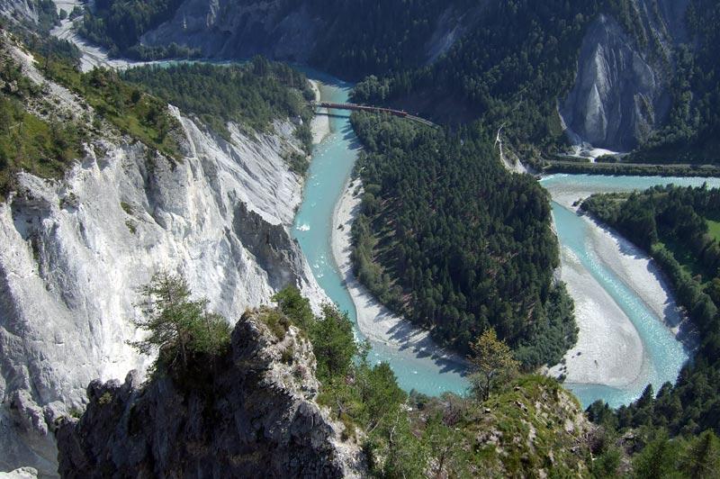
The Alps, Alpine region of Switzerland, conventionally referred to as the Swiss Alps, represents a major natural feature of the country and is, along with the Swiss Plateau and the Swiss portion of the Jura Mountains, one of its three main Physical geography, physiographic regions. The Swiss Alps extend over both the Western Alps and the Eastern Alps, encompassing an area sometimes called Central Alps. While the northern ranges from the Bernese Alps to the Appenzell Alps are entirely in Switzerland, the southern ranges from the Mont Blanc massif to the Bernina Range, Bernina massif are shared with other countries such as France, Italy, Austria and Liechtenstein. The Swiss Alps comprise almost all the highest mountains of the Alps, such as Dufourspitze (4,634 m), the Dom (mountain), Dom (4,545 m), the Liskamm (4,527 m), the Weisshorn (4,506 m) and the Matterhorn (4,478 m). The other following major summits can be found in this list of mountains of Switzerland. Since the Middle Age ... [...More Info...] [...Related Items...] OR: [Wikipedia] [Google] [Baidu] |
Canton Of Fribourg
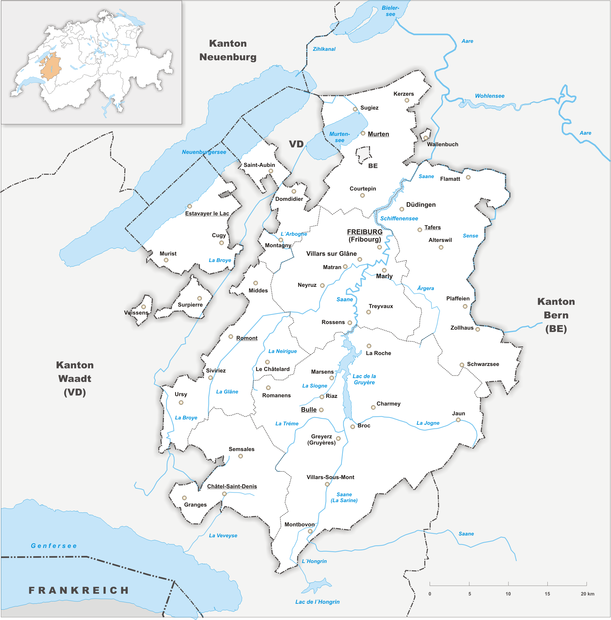
The canton of Fribourg, also canton of Freiburg, is located in western Switzerland. The canton is bilingual, with French spoken by more than two thirds of the citizens and German by a little more than a quarter. Both are official languages in the canton. The canton takes its name from its capital city of Fribourg. History On the shores of Lake Neuchâtel and Lake Morat significant traces of prehistoric settlements have been unearthed. The canton of Fribourg joined the Swiss Confederation in 1481. The area is made up of lands acquired by the capital Fribourg. The present extent was reached in 1803 when Murten (Morat) was acquired. The canton of Fribourg joined the separatist league of Catholic cantons in 1846 ( Sonderbund). The following year, its troops surrendered to the federal army. Geography The canton is bounded to the west by Lake Neuchâtel, to the west and the south by the canton of Vaud, and to the east by the canton of Bern. The canton includes two enclaves with ... [...More Info...] [...Related Items...] OR: [Wikipedia] [Google] [Baidu] |
Bulle
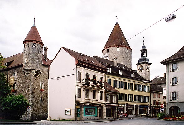
Bulle (; ) is a Municipalities of Switzerland, municipality in the district of Gruyère (district), Gruyère in the Cantons of Switzerland, canton of Fribourg (canton), Fribourg in Switzerland. In January 2006 Bulle incorporated the formerly independent municipality of La Tour-de-Trême. History Ancient times Bulle is first mentioned in the 9th century as ''Butulum''. In 1200 it was mentioned as ''Bollo''. The municipality was formerly known by its German name ''Boll''; however, that name is no longer used. Very little is known about the early history of the Bulle area. In 1995, a large tumulus, grave mound from the early Hallstatt culture, Hallstatt period was partially excavated. The grave mound lies about from the hill on which the church was later built. Middle ages During the Early Middle Ages it was the home of a parish church that covered a large parish. This Church of St. Eusebius was probably built in the 6th or 7th century by the Bishop of Lausanne. The church is ... [...More Info...] [...Related Items...] OR: [Wikipedia] [Google] [Baidu] |
Swisstopo
Swisstopo is the official name for the Swiss Federal Office of Topography, Switzerland's national mapping agency. The current name was made official in 2002. It had been used as the domain name for the homepage of the instituteswisstopo.admin.ch since 1997. Maps The main class of products produced by Swisstopo are topographical maps on seven different Scale (map), scales. Swiss maps have been praised for their accuracy and quality. Regular maps * 1:25.000. This is the most detailed map, useful for many purposes. Those are popular with tourists, especially for famous areas like Zermatt and St. Moritz. These maps cost CHF 13.50 each (2004). 208 maps on this scale are published at regular intervals. The first map published on this scale was ''1125 Chasseral'', in 1952. The last map published on this scale was ''1292 Maggia'', in 1972. Since 1956, composites have been published, starting with ''2501 St. Gallen''. They have the same information, but consist of several parts of re ... [...More Info...] [...Related Items...] OR: [Wikipedia] [Google] [Baidu] |
Villages In The Canton Of Fribourg
A village is a human settlement or community, larger than a hamlet but smaller than a town with a population typically ranging from a few hundred to a few thousand. Although villages are often located in rural areas, the term urban village is also applied to certain urban neighborhoods. Villages are normally permanent, with fixed dwellings; however, transient villages can occur. Further, the dwellings of a village are fairly close to one another, not scattered broadly over the landscape, as a dispersed settlement. In the past, villages were a usual form of community for societies that practice subsistence agriculture and also for some non-agricultural societies. In Great Britain, a hamlet earned the right to be called a village when it built a church.-4; we might wonder whether there's a point at which it's appropriate to talk of the beginnings of French, that is, when it wa ... ''village'', from Latin ''villāticus'', ultimately from Latin ''villa'' (English ''villa''). Ce ... [...More Info...] [...Related Items...] OR: [Wikipedia] [Google] [Baidu] |


