|
Manipur Valley
Imphal Valley ( /ˈɪmpɑːl/; ) or Manipur Valley () is located in the Indian state of Manipur and is an irregular almost oval shaped canyon that was formed as a result of the multiple small rivers that originate from neighbouring hill regions surrounding the valley and flow through it. The water in the Imphal valley is fetched from several rivers that flows via the valley, such as Imphal River, Iril River, Thoubal River, Khuga River and Sekmai river. Imphal River is the most prominent of the rivers which pass through the heart of the valley, and the river for which the entire valley is named. The Imphal valley is located in almost the centre of the state of Manipur and is surrounded by hills on all sides. Manipur has multi-topographical characteristics; it is a part of the eastern Himalayas, especially its lower hills, and it is an important feature of the landscape of Manipur. The hills forms one of the two main physical regions of the state, the other being the Manipur val ... [...More Info...] [...Related Items...] OR: [Wikipedia] [Google] [Baidu] |
Naga Hills
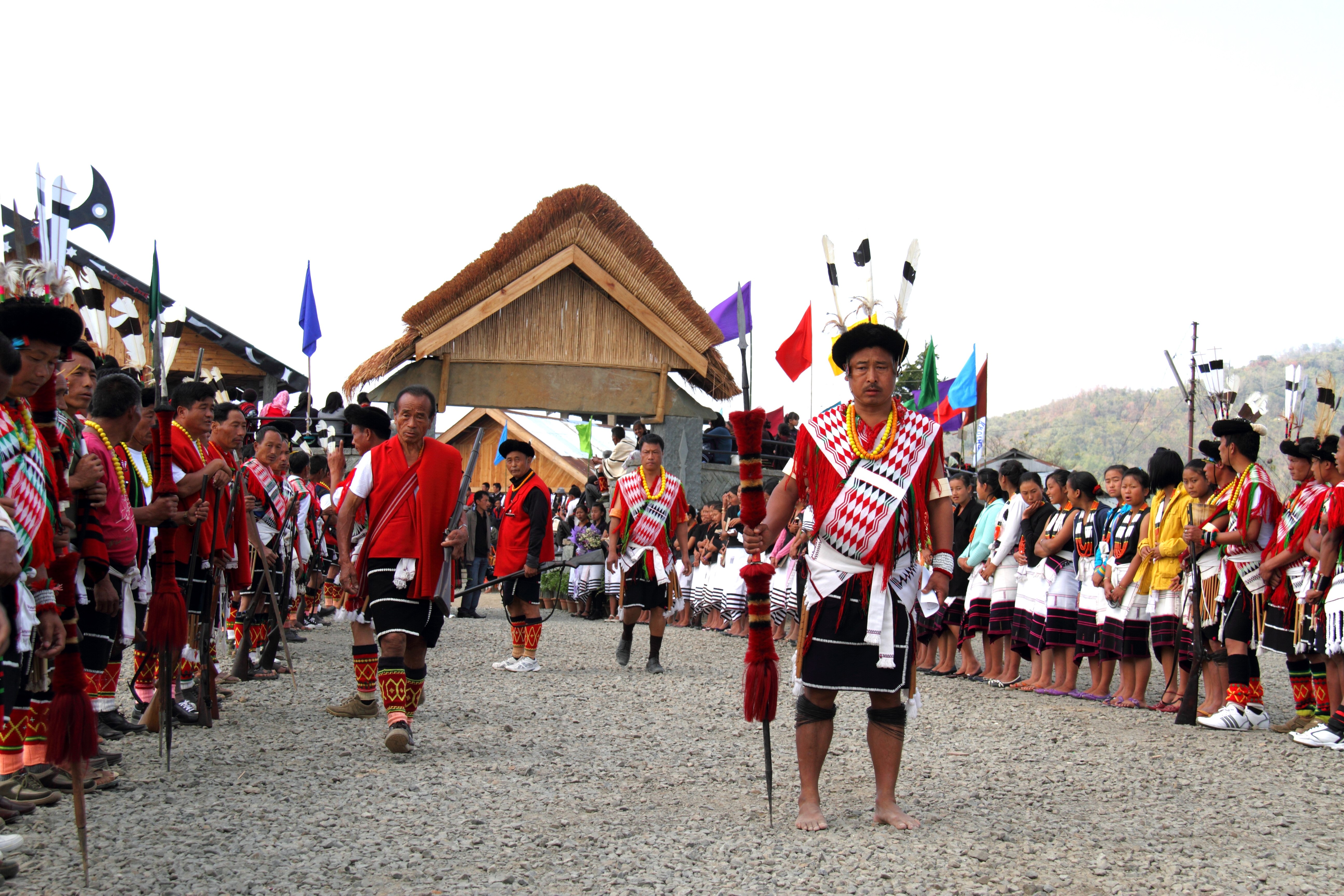
The Naga Hills, reaching a height of around , lie prominently on the border of India and Myanmar. They are part of a complex mountain system, and the parts of the mountain ranges inside the States and territories of India, Indian states of Nagaland, Manipur and the Administrative divisions of Burma, Burmese Naga Self-Administered Zone are called the Naga Hills. The highest point of the Naga hills is Mount Saramati (). Etymology The term "Naga" refers to the Naga people, who were called "Naga" or "Naka" in the Burmese language, meaning "people with pierced ears".Shimray, R. R. (1985), ''Origin and Culture of Nagas'', Pamleiphi Shimray, New Delhi, page 41, History In British India, the major part of the hills came under the Naga Hills District, British India, Naga Hills District. A part of the Naga Hills under the British India control was coalesced into a district in 1866. The boundaries of the Naga Hills District were gradually expanded by annexation of the territories of seve ... [...More Info...] [...Related Items...] OR: [Wikipedia] [Google] [Baidu] |
Geology Of India
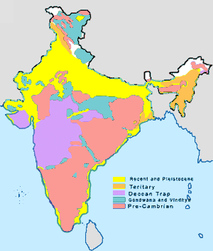
The geology of India is diverse. Different regions of the Indian subcontinent contain rocks belonging to different geologic periods, dating as far back as the Eoarchean Era. Some of the rocks are very deformed and altered. Other deposits include recently deposited alluvium that has yet to undergo diagenesis. Mineral deposits of great variety are found in the subcontinent in huge quantities. Even India's fossil record is impressive in which stromatolites, invertebrates, vertebrates and plant fossils are included. India's geographical land area can be classified into the Deccan Traps, Gondwana and Vindhyan. The Deccan Traps covers almost all of Maharashtra, a part of Gujarat, Karnataka, Madhya Pradesh and Andhra Pradesh marginally. During its journey northward after breaking off from the rest of Gondwana, the Indian Plate passed over a geologic hotspot, the Réunion hotspot, which caused extensive melting underneath the Indian Craton. The melting broke through the surf ... [...More Info...] [...Related Items...] OR: [Wikipedia] [Google] [Baidu] |
Valleys Of India
A valley is an elongated low area often running between hills or mountains and typically containing a river or stream running from one end to the other. Most valleys are formed by erosion of the land surface by rivers or streams over a very long period. Some valleys are formed through erosion by glacial ice. These glaciers may remain present in valleys in high mountains or polar areas. At lower latitudes and altitudes, these glacially formed valleys may have been created or enlarged during ice ages but now are ice-free and occupied by streams or rivers. In desert areas, valleys may be entirely dry or carry a watercourse only rarely. In areas of limestone bedrock, dry valleys may also result from drainage now taking place underground rather than at the surface. Rift valleys arise principally from earth movements, rather than erosion. Many different types of valleys are described by geographers, using terms that may be global in use or else applied only locally. Forma ... [...More Info...] [...Related Items...] OR: [Wikipedia] [Google] [Baidu] |
Manipur Articles Missing Geocoordinate Data
Manipur () is a state in northeastern India with Imphal as its capital. It borders the Indian states of Assam to the west, Mizoram to the south, and Nagaland to the north and shares the international border with Myanmar, specifically the Sagaing Region to the east and Chin State to the southeast. Covering an area of 22,330 square kilometers (8,621 mi²), the state consists mostly of hilly terrain with the 1813-square-kilometre (700 mi²) Imphal Valley inhabited by the Meitei (Manipuri) community, historically a kingdom. Surrounding hills are home to Naga and Kuki-Zo communities, who speak Tibeto-Burman languages. The official language and lingua franca, Meitei (Manipuri), also belongs to the Tibeto-Burman family. During the days of the British Raj, Manipur was one of the princely states. Prior to the British departure in 1947, Manipur acceded to the Dominion of India, along with roughly 550 other princely states. In September 1949, the ruler of Manipur signed a merger a ... [...More Info...] [...Related Items...] OR: [Wikipedia] [Google] [Baidu] |


