|
Manchester, Maryland
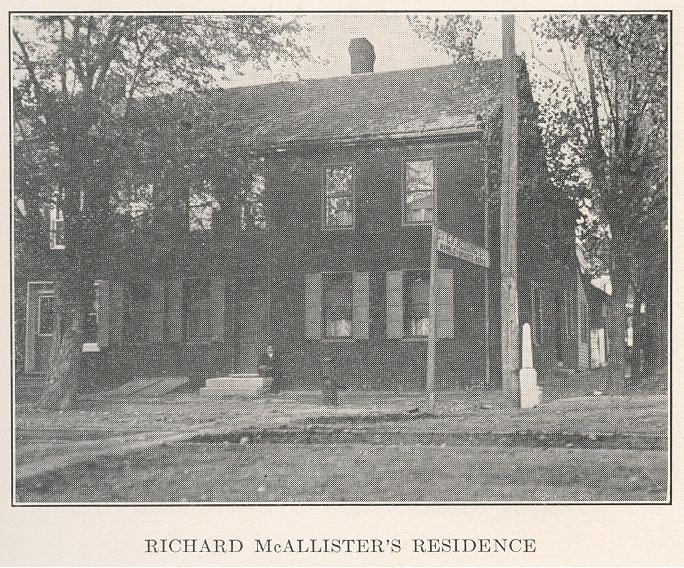
Manchester is a small incorporated town in northeastern Carroll County, Maryland, United States, located just south of the Pennsylvania state line and north of Baltimore. The population was 4,808 at the 2010 census. Manchester was incorporated in 1833 and is the second oldest incorporated area in Carroll County after Westminster, which was incorporated in 1818. The town was originally formed as a part of Baltimore County, before the creation of Carroll County in 1837. It is governed by an elected mayor and an elected five-person town council. Manchester lies in the humid continental climate region, marked by cold and snowy winters but humid and hot summers. This climate is ideal for growing farmed crops in the summer such as tomatoes, sweet corn and squash, leaving much of the outlying area marked with large tracts of farmland. Manchester is a rural commuting town where residents travel to work in the greater Baltimore Metropolitan Area and the greater Washington Metropolitan Are ... [...More Info...] [...Related Items...] OR: [Wikipedia] [Google] [Baidu] |
Maryland
Maryland ( ) is a U.S. state, state in the Mid-Atlantic (United States), Mid-Atlantic region of the United States. It borders the states of Virginia to its south, West Virginia to its west, Pennsylvania to its north, and Delaware to its east, as well as with the Atlantic Ocean to its east, and the national capital and federal district of Washington, D.C. to the southwest. With a total area of , Maryland is the List of U.S. states and territories by area, ninth-smallest state by land area, and its population of 6,177,224 ranks it the List of U.S. states and territories by population, 18th-most populous state and the List of states and territories of the United States by population density, fifth-most densely populated. Maryland's capital city is Annapolis, Maryland, Annapolis, and the state's most populous city is Baltimore. Maryland's coastline was first explored by Europeans in the 16th century. Prior to that, it was inhabited by several Native Americans in the United States ... [...More Info...] [...Related Items...] OR: [Wikipedia] [Google] [Baidu] |
Sweet Corn
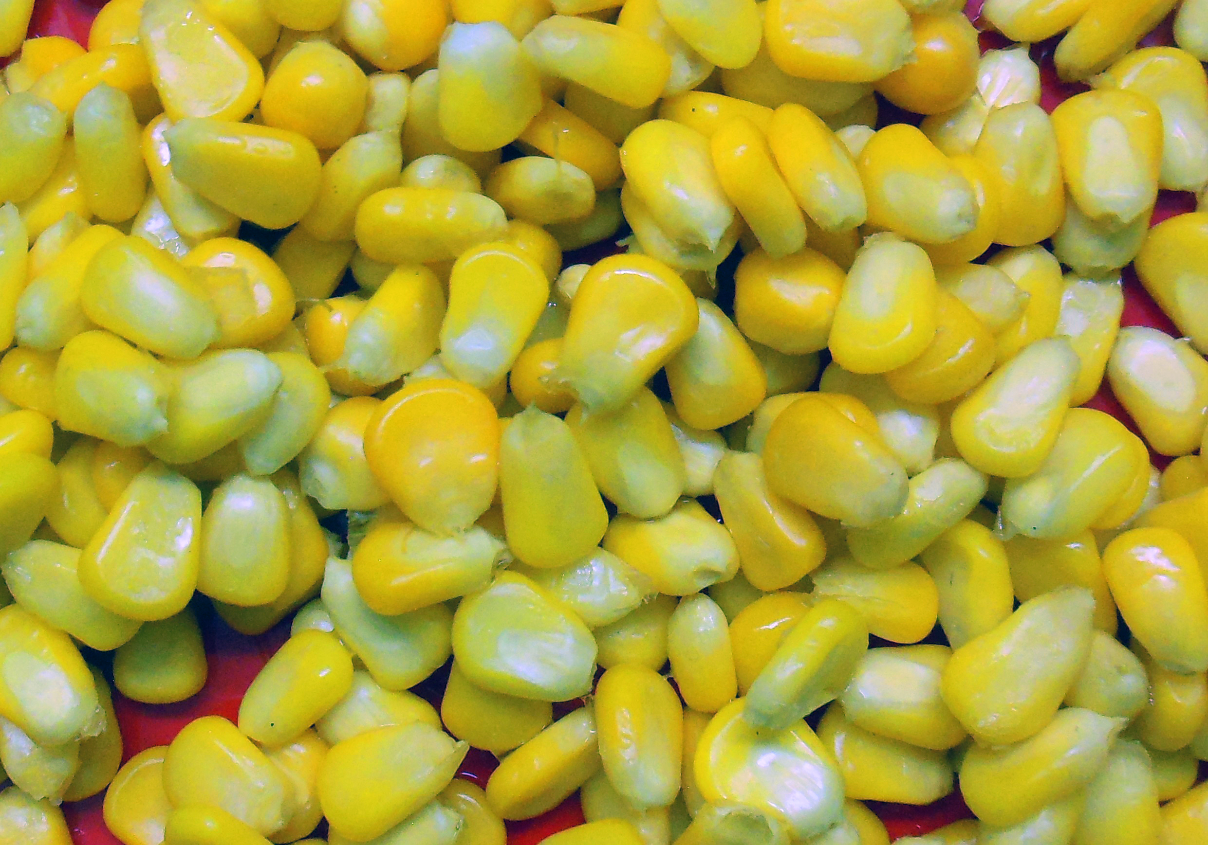
Sweet corn (''Zea mays'' convar. ''saccharata'' var. ''rugosa''), also called sweetcorn, sugar corn and pole corn, is a variety of maize grown for human consumption with a high sugar content. Sweet corn is the result of a naturally occurring recessive mutation in the genes which control conversion of sugar to starch inside the endosperm of the corn kernel. Sweet corn is picked when still immature (the milk stage) and prepared and eaten as a vegetable, unlike field corn, which is harvested when the kernels are dry and mature (dent stage). Since the process of maturation involves converting sugar to starch, sweet corn stores poorly and must be eaten fresh, Canning, canned, or frozen, before the kernels become tough and starchy. It is one of the six major types of corn, the others being dent corn, flint corn, pod corn, popcorn, and flour corn. According to the USDA, 100 grams of raw yellow sweet corn contains 3.43 g glucose, 1.94 g fructose, and 0.89 g sucrose. H ... [...More Info...] [...Related Items...] OR: [Wikipedia] [Google] [Baidu] |
Hanover, Pennsylvania
Hanover is a borough in York County, Pennsylvania, United States. The population was 16,429 at the 2020 census. Located southwest of York and north-northwest of Baltimore, Maryland, the town is situated in a productive agricultural region. It is named after the German city of Hanover and is a principal city of the York–Hanover metropolitan area. Hanover was the site of the final encounter between the Union and Confederate armies before they fought against each other in the Battle of Gettysburg during the American Civil War. Hanover has since become known as the "Snack Food Capital of the World" due to the establishment of multiple food manufacturing businesses there during the 20th century. Notable companies based in the borough include Utz Brands and Snyder's of Hanover. History In 1727, John Digges, an Irish nobleman of Prince George's County, Maryland, obtained a grant of of land where Hanover is now located from Charles Calvert, 5th Baron Baltimore. The area was c ... [...More Info...] [...Related Items...] OR: [Wikipedia] [Google] [Baidu] |
Patapsco River
The Patapsco River ( ) mainstem is a river in central Maryland that flows into the Chesapeake Bay. The river's tidal portion forms the harbor for the city of Baltimore. With its South Branch, the Patapsco forms the northern border of Howard County, Maryland. The name "Patapsco" is derived from the Eastern Algonquian languages, Algonquian ''pota-psk-ut'', which translates to "backwater" or "tide covered with froth". History John Smith of Jamestown, Captain John Smith was the first European to explore the river, noting it on his 1612 map as the Bolus River. The "Red river", named after the clay color, is considered the "old Bolus", as other branches were also labeled Bolus on maps. As the river was not navigable beyond Elkridge, it was not a significant path of commerce; in 1723, only one ship was listed as serving the northern branch, and four others operating around the mouth. The first land record regarding Parr's Springs, the source of the South Branch, dates from 1744, ... [...More Info...] [...Related Items...] OR: [Wikipedia] [Google] [Baidu] |
Conewago Creek (west)
Conewago Creek is an U.S. Geological Survey. National Hydrography Dataset high-resolution flowline dataThe National Map, accessed August 8, 2011 tributary of the Susquehanna River in Adams and York counties in Pennsylvania in the United States, with its watershed also draining a small portion of Carroll County, Maryland. The source is at an elevation of , east of Caledonia State Park, in Franklin Township in Adams County. The mouth is the confluence with the Susquehanna River at York Haven in York County at an elevation of . Name The name of the creek comes from the Lenape, meaning "at the rapids", although the rapids are not on Conewago Creek. Instead, the rapids are the Conewago Falls beyond the creek's mouth in the Susquehanna River, which also give their name to the other Conewago Creek, whose mouth is on the east bank of the Susquehanna River in Dauphin and Lancaster counties, only north of the mouth of this Conewago Creek. Course Conewago Creek flows east , the ... [...More Info...] [...Related Items...] OR: [Wikipedia] [Google] [Baidu] |
Susquehanna River
The Susquehanna River ( ; Unami language, Lenape: ) is a major river located in the Mid-Atlantic (United States), Mid-Atlantic region of the United States, crossing three lower Northeastern United States, Northeast states (New York, Pennsylvania and Maryland). At long, it is the longest river on the East Coast of the United States. By Drainage basin, watershed area, it is the 16th-largest river in the United States,Susquehanna River Trail Pennsylvania Fish and Boat Commission, accessed March 25, 2010.Susquehanna River , Green Works Radio, accessed March 25, 2010. and also the longest river in the early 21st-century continental United State ... [...More Info...] [...Related Items...] OR: [Wikipedia] [Google] [Baidu] |
Potomac River
The Potomac River () is in the Mid-Atlantic (United States), Mid-Atlantic region of the United States and flows from the Potomac Highlands in West Virginia to Chesapeake Bay in Maryland. It is long,U.S. Geological Survey. National Hydrography Dataset high-resolution flowline dataThe National Map. Retrieved August 15, 2011 with a Drainage basin, drainage area of , and is the fourth-largest river along the East Coast of the United States. More than 6 million people live within its drainage basin, watershed. The river forms part of the borders between Maryland and Washington, D.C., on the left descending bank, and West Virginia and Virginia on the right descending bank. Except for a small portion of its headwaters in West Virginia, the #North Branch Potomac River, North Branch Potomac River is considered part of Maryland to the low-water mark on the opposite bank. The South Branch Potomac River lies completely within the state of West Virginia except for its headwaters, which lie i ... [...More Info...] [...Related Items...] OR: [Wikipedia] [Google] [Baidu] |
Great Trail
The Great Trail (also called the Great Path) was a network of footpaths created by Algonquian and Iroquoian-speaking indigenous peoples prior to the arrival of European colonists in North America. It connected the areas of New England and eastern Canada, and the mid-Atlantic regions to each other and to the Great Lakes region. Many major highways in the Northeastern United States were later constructed to follow the routes established thousands of years ago by Native Americans moving along these trails. Although some sections of the trail have been called "warpaths", such as the so-called " Great Indian Warpath" through Chillicothe, Ohio,Paul Wallace, ''Indian Paths of Pennsylvania'' Old Forester the primary purposes for these roads was |
Indigenous Peoples Of The Americas
In the Americas, Indigenous peoples comprise the two continents' pre-Columbian inhabitants, as well as the ethnic groups that identify with them in the 15th century, as well as the ethnic groups that identify with the pre-Columbian population of the Americas as such. These populations exhibit significant diversity; some Indigenous peoples were historically hunter-gatherers, while others practiced agriculture and aquaculture. Various Indigenous societies developed complex social structures, including pre-contact monumental architecture, organized city, cities, city-states, chiefdoms, state (polity), states, monarchy, kingdoms, republics, confederation, confederacies, and empires. These societies possessed varying levels of knowledge in fields such as Pre-Columbian engineering in the Americas, engineering, Pre-Columbian architecture, architecture, mathematics, astronomy, History of writing, writing, physics, medicine, Pre-Columbian agriculture, agriculture, irrigation, geology, minin ... [...More Info...] [...Related Items...] OR: [Wikipedia] [Google] [Baidu] |
Susquehannock
The Susquehannock, also known as the Conestoga, Minquas, and Andaste, were an Iroquoian Peoples, Iroquoian people who lived in the lower Susquehanna River watershed in what is now Pennsylvania. Their name means “people of the muddy river.” The Susquehannock were first described by John Smith (explorer), John Smith, who explored the upper reaches of the Chesapeake Bay in 1608. The Susquehannocks were active in the North American fur trade, fur trade and established close trading relationships with Colony of Virginia, Virginia, New Sweden, and New Netherland. They were in conflict with Province of Maryland, Maryland until a treaty was negotiated in 1652, and were the target of intermittent attacks by the Iroquois, Haudenosaunee (Iroquois). By the 1670s, their population had declined sharply as a result of disease and war. The Susquehannock abandoned their town on the Susquehanna River and moved south into Province of Maryland, Maryland. They erected a palisaded village on Pisca ... [...More Info...] [...Related Items...] OR: [Wikipedia] [Google] [Baidu] |
Colonization
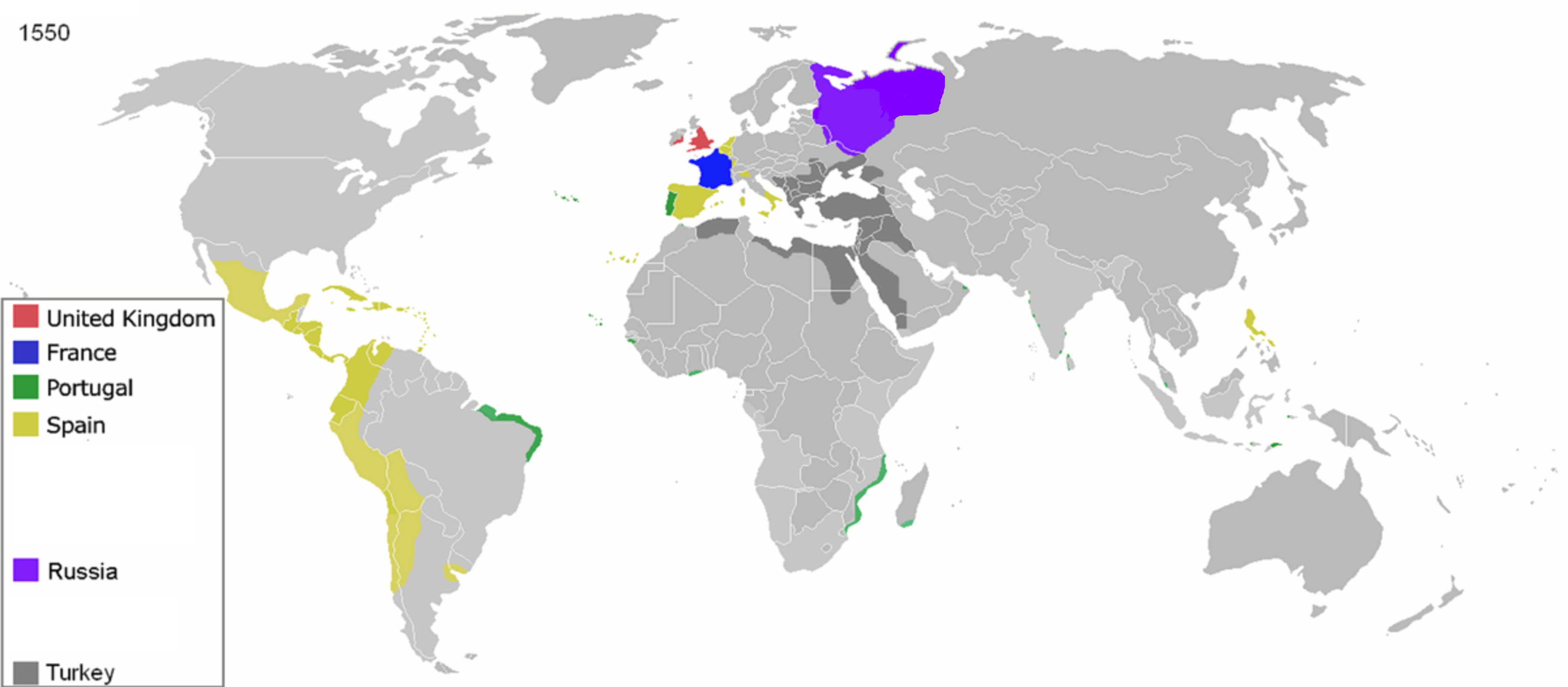
475px, Map of the year each country achieved List of sovereign states by date of formation, independence. Colonization (British English: colonisation) is a process of establishing occupation of or control over foreign territories or peoples for the purpose of cultivation, exploitation, trade and possibly settlement, setting up coloniality and often colonies. Colonization is commonly pursued and maintained by, but distinct from, imperialism, mercantilism, or colonialism. The term "colonization" is sometimes used synonymously with the word "settling", as with colonisation in biology. Settler colonialism is a type of colonization structured and enforced by the settlers directly, while their or their ancestors' metropolitan country ('' metropole'') maintains a connection or control through the settler's activities. In settler colonization, a minority group rules either through the assimilation or oppression of the existing inhabitants, or by establishing itself as the de ... [...More Info...] [...Related Items...] OR: [Wikipedia] [Google] [Baidu] |
Washington Metropolitan Area
The Washington metropolitan area, also referred to as the National Capital Region, Greater Washington, or locally as the DMV (short for Washington, D.C., District of Columbia, Maryland, and Virginia), is the metropolitan area comprising Washington, D.C., the federal capital of the United States, and its surroundings. The metropolitan area includes all of Washington, D.C., and parts of Maryland and Virginia. It anchors the southern end of the densely populated Northeast megalopolis and is part of the Washington–Baltimore combined statistical area, the country's third-largest. The area's estimated total population of 6,304,975 (as of 2023) makes it the country's List of Metropolitan Statistical Areas#United States, seventh-most populous metropolitan area It is one of the country's most educated and affluent metropolitan areas. Nomenclature The U.S. Office of Management and Budget defines the area as the Washington–Arlington–Alexandria, DC–VA–MD–WV metropolitan statisti ... [...More Info...] [...Related Items...] OR: [Wikipedia] [Google] [Baidu] |


