|
Le Tech
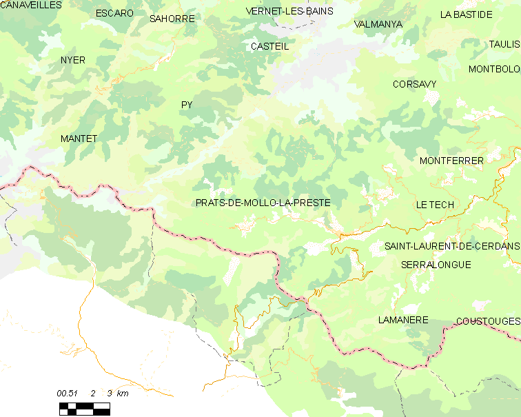
Le Tech (; ca, El Tec) is a commune in the Pyrénées-Orientales department in southern France. It is part of the historical Vallespir comarca. Geography Localisation Le Tech is located east of Prats-de-Mollo-la-Preste, in the canton of Le Canigou and in the arrondissement of Céret. Neighbouring communes Land relief Elevation ranges from 420 to 2721 meters. Hydrography The territory of Le Tech is shaped by the valley of the river Coumelade and the village itself is located at the confluence of the Coumelade and the river Tech. Toponymy Le Tech takes its name from the Tech river which runs through the village. History The commune of Le Tech was created on March 19, 1862, by a piece of territory being separated from Prats-de-Mollo.Jean-Pierre Pélissier, Paroisses et communes de France : dictionnaire d'histoire administrative et démographique, vol. 66 : Pyrénées-Orientales, Paris, CNRS, 1986, 378 p. () Government and politics Mayors Population ... [...More Info...] [...Related Items...] OR: [Wikipedia] [Google] [Baidu] |
Communes Of France
The () is a level of administrative division in the French Republic. French are analogous to civil townships and incorporated municipalities in the United States and Canada, ' in Germany, ' in Italy, or ' in Spain. The United Kingdom's equivalent are civil parishes, although some areas, particularly urban areas, are unparished. are based on historical geographic communities or villages and are vested with significant powers to manage the populations and land of the geographic area covered. The are the fourth-level administrative divisions of France. vary widely in size and area, from large sprawling cities with millions of inhabitants like Paris, to small hamlets with only a handful of inhabitants. typically are based on pre-existing villages and facilitate local governance. All have names, but not all named geographic areas or groups of people residing together are ( or ), the difference residing in the lack of administrative powers. Except for the municipal arrondi ... [...More Info...] [...Related Items...] OR: [Wikipedia] [Google] [Baidu] |
Saint-Laurent-de-Cerdans
Saint-Laurent-de-Cerdans (; ca, Sant Llorenç de Cerdans) is a commune in the Pyrénées-Orientales department in southern France. Geography Saint-Laurent-de-Cerdans is located in the canton of Le Canigou and in the arrondissement of Céret. Government and politics Mayors Population See also *Communes of the Pyrénées-Orientales department The Pyrénées-Orientales department is composed of 226 communes. Most of the territory (except for the district of Fenolheda) formed part of the Principality of Catalonia until 1659, and Catalan is still spoken (in addition to French) by a si ... References Communes of Pyrénées-Orientales {{PyrénéesOrientales-geo-stub ... [...More Info...] [...Related Items...] OR: [Wikipedia] [Google] [Baidu] |
Communes Of The Pyrénées-Orientales Department
The Pyrénées-Orientales department is composed of 226 communes. Most of the territory (except for the district of Fenolheda) formed part of the Principality of Catalonia until 1659, and Catalan is still spoken (in addition to French) by a significant minority of the population. The Catalan names of communes are taken from the ''Enciclopèdia catalana'' and are intended for comparison with the official French names: they do not indicate the current or former linguistic status of the commune. List of intercommunalities The communes cooperate in the following intercommunalities (as of 2020):BANATIC Périmètre des EPCI à fiscalité propre. Accessed 3 July 2020. * |
St Guillem Of Combret Hermitage
The St Guilhem of Combret Hermitage is a small rural romanesque chapel located on the southern flank of the Canigou massif, in the French department of Pyrenees-Orientales, and the Languedoc-Roussillon region. It lies midway between the villages of Prats-de-Mollo , seat of the parish to which the chapel belongs, and Le Tech, capital of the municipality. According to legend, the chapel was built by a hermit named Guillem, who settled there in the early Middle Ages after defeating evil spirits that had haunted him. The Romanesque construction dates from the 11th century, and was based on a somewhat older building. The chapel is a listed building, as are various objects (including a rare wrought iron bell) associated with it. Two medieval manuscripts addressed to the priests officiating at the church also survive. The hermitage has been a place of welcome and for the rest of travelers for over a thousand years. The site includes a refuge, rebuilt in 2014, for the several hikin ... [...More Info...] [...Related Items...] OR: [Wikipedia] [Google] [Baidu] |
Prats-de-Mollo
Prats-de-Mollo-la-Preste (; ) is a commune in the Pyrénées-Orientales department in southern France, near the border with Spain and the Autonomous Community of Catalonia. The name ''Prats-de-Mollo'' comes from Catalan "meadows of Molló". Molló is a town just across the border and the Col d'Ares. La Preste is a spa resort town that was a separate village but is now included as part of the municipality. Prats-de-Mollo-la-Preste was the capital of the eponymous former canton. It forms part of the historical comarca of Vallespir and is part of Northern Catalonia. Geography Prats-de-Mollo-la-Preste is located in the Pyrenees, from the Spanish border and the Autonomous Community of Catalonia, on the banks of the river Tech, and on the south face of the Canigou at an elevation of 735 meters. Prats-de-Mollo-la-Preste is located in the canton of Le Canigou and in the arrondissement of Céret. History The town, along with other Vallespir municipalities of Roussillon was separat ... [...More Info...] [...Related Items...] OR: [Wikipedia] [Google] [Baidu] |
Tech (river)
The Tech (; ca, Tec ) is a river in southern France, very close to the French-Spanish border. It runs through a valley in the Pyrénées-Orientales, in the former Roussillon, and is long. Its source is the Parcigoule Valley, elevation , and it feeds the Mediterranean Sea. At Céret, the medieval '' Devil's bridge'', once the largest bridge arch in the world, spans the river in an arc of in length. Geography The Tech flows through 25 different towns, from its source to the sea: Prats-de-Mollo-la-Preste, Serralongue, Le Tech, Saint-Laurent-de-Cerdans, Montferrer, Corsavy, Arles-sur-Tech, Montbolo, Amélie-les-Bains-Palalda, Reynès, Céret, Saint-Jean-Pla-de-Corts, Maureillas-las-Illas, Le Boulou, Tresserre, Saint-Génis-des-Fontaines, Montesquieu-des-Albères, Banyuls-dels-Aspres, Villelongue-dels-Monts, Brouilla, Ortaffa, Palau-del-Vidre, Elne and Argelès-sur-Mer. It flows into the Mediterranean Sea between Saint-Cyprien and Argelès-sur-Mer, southeast of Perpignan Per ... [...More Info...] [...Related Items...] OR: [Wikipedia] [Google] [Baidu] |
Casteil
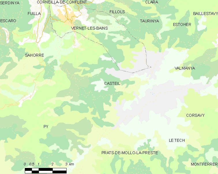
Casteil (; ca, Castell de Vernet) is a commune in the Pyrénées-Orientales department in southern France, part of the historical Conflent comarca. The abbey Martin-du-Canigou is located above Casteil. Geography Localisation Casteil is located in the canton of Le Canigou and in the arrondissement of Prades. Population See also *Communes of the Pyrénées-Orientales department * Martin-du-Canigou The abbey of Saint-Martin-du-Canigou (Catalan: ''Sant Martí del Canigó'') is a monastery built in 1009 in the Pyrenees of Northern Catalonia on Canigou mountain in present-day southern near the Spanish border. Pau Casals wrote a composition e ... References Communes of Pyrénées-Orientales {{PyrénéesOrientales-geo-stub ... [...More Info...] [...Related Items...] OR: [Wikipedia] [Google] [Baidu] |
Serralongue
Serralongue (; ca, Serrallonga) is a commune in the Pyrénées-Orientales department in southern France. Geography Serralongue is located in the canton of Le Canigou and in the arrondissement of Céret. Population See also *Communes of the Pyrénées-Orientales department The Pyrénées-Orientales department is composed of 226 communes. Most of the territory (except for the district of Fenolheda) formed part of the Principality of Catalonia until 1659, and Catalan is still spoken (in addition to French) by a si ... References Communes of Pyrénées-Orientales {{PyrénéesOrientales-geo-stub ... [...More Info...] [...Related Items...] OR: [Wikipedia] [Google] [Baidu] |
Montferrer
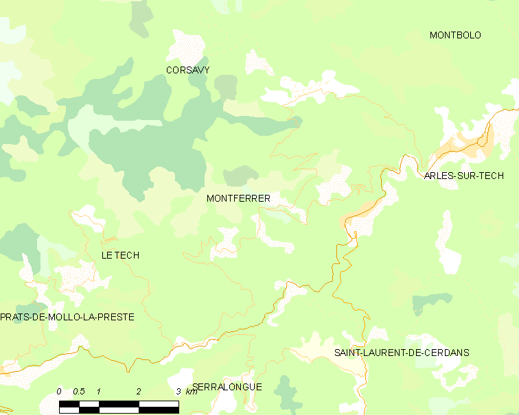
Montferrer () is a commune in the Pyrénées-Orientales department in southern France. Geography Montferrer is located in the canton of Le Canigou and in the arrondissement of Céret. Population See also *Communes of the Pyrénées-Orientales department The Pyrénées-Orientales department is composed of 226 communes. Most of the territory (except for the district of Fenolheda) formed part of the Principality of Catalonia until 1659, and Catalan is still spoken (in addition to French) by a ... References Communes of Pyrénées-Orientales {{PyrénéesOrientales-geo-stub ... [...More Info...] [...Related Items...] OR: [Wikipedia] [Google] [Baidu] |
Pyrénées-Orientales
Pyrénées-Orientales (; ca, Pirineus Orientals ; oc, Pirenèus Orientals ; ), also known as Northern Catalonia, is a department of the region of Occitania, Southern France, adjacent to the northern Spanish frontier and the Mediterranean Sea. It also surrounds the tiny Spanish exclave of Llívia, and thus has two distinct borders with Spain. In 2019, it had a population of 479,979.Populations légales 2019: 66 Pyrénées-Orientales INSEE Some parts of the Pyrénées-Orientales (like the ) are part of the . It is na ... [...More Info...] [...Related Items...] OR: [Wikipedia] [Google] [Baidu] |


