|
Lincoln County, Montana
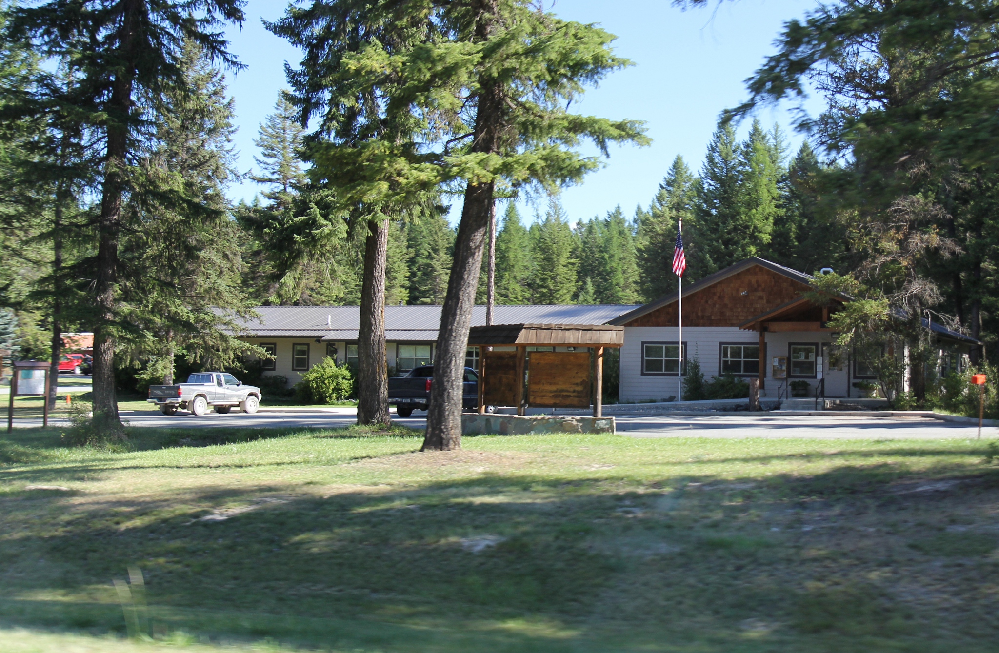
Lincoln County is a county located in the U.S. state of Montana. As of the 2020 census, the population was 19,677. Its county seat is Libby. The county was founded in 1909 and named for President Abraham Lincoln. The county lies on Montana's north border and thus shares the US-Canadian border with the Canadian province of British Columbia. This heavily wooded and mountainous county once was part of Flathead County until residents of Libby and Eureka petitioned the state legislature for separation. Libby won an election over Eureka to host the county seat. Geography According to the United States Census Bureau, the county has a total area of , of which is land and (1.7%) is water. The county borders the Canadian province of British Columbia to the north. The lowest point in the state of Montana is located on the Kootenai River in Lincoln County, where it flows out of Montana and into Idaho. Upstream, Libby Dam backs up huge Lake Koocanusa (combination name of Kootenai, ... [...More Info...] [...Related Items...] OR: [Wikipedia] [Google] [Baidu] |
Abraham Lincoln
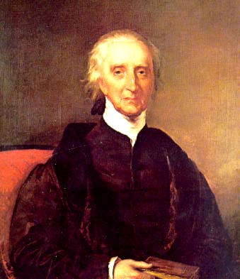
Abraham Lincoln (February 12, 1809 – April 15, 1865) was the 16th president of the United States, serving from 1861 until Assassination of Abraham Lincoln, his assassination in 1865. He led the United States through the American Civil War, defeating the Confederate States of America and playing a major role in the End of slavery in the United States, abolition of slavery. Lincoln was born into poverty in Kentucky and raised on the American frontier, frontier. He was self-educated and became a lawyer, Illinois state Illinois House of Representatives, legislator, and U.S. representative. Angered by the Kansas–Nebraska Act of 1854, which opened the territories to slavery, he became a leader of the new History of the Republican Party (United States), Republican Party. He reached a national audience in the Lincoln–Douglas debates, 1858 Senate campaign debates against Stephen A. Douglas. Lincoln won the 1860 United States presidential election, 1860 presidential election, wh ... [...More Info...] [...Related Items...] OR: [Wikipedia] [Google] [Baidu] |
Sanders County, Montana
Sanders County is a county in the U.S. state of Montana. As of the 2020 census, the population was 12,400. Its county seat is Thompson Falls. The county was founded in 1905. It has an annual county fair with rodeo at Plains. Geography According to the United States Census Bureau, the county has a total area of , of which is land and (1.1%) is water. Sanders County lies on the state's western border; thus it shares the border with Idaho to the west. It is part of the Coeur d'Alene Mountains in the Bitterroot Range. The Clark Fork River flows southeast to northwest through the middle of the county, with the Bitterroot Mountains to the south and the Cabinet Mountains to the north. It is partially arid, with the west-facing mountain slopes capturing the most rain: ranging from nearly 40 inches a year in Heron (similar to Seattle's annual precipitation) on the Western end of the county to less than 12 inches per year in Dixon on the East end. During the last ice age, this wa ... [...More Info...] [...Related Items...] OR: [Wikipedia] [Google] [Baidu] |
Poverty Line
The poverty threshold, poverty limit, poverty line, or breadline is the minimum level of income deemed adequate in a particular country. The poverty line is usually calculated by estimating the total cost of one year's worth of necessities for the average adult.Poverty Lines – Martin Ravallion, in The New Palgrave Dictionary of Economics, 2nd Edition, London: Palgrave Macmillan The cost of housing, such as the renting, rent for an apartment, usually makes up the largest proportion of this estimate, so economists track the real estate market and other housing cost indicators as a major influence on the poverty line. Individual factors are often used to account for various circumstances, such as whether one is a parent, elderly, a child, married, etc. The poverty threshold may be adjusted annually. In practice, like the definition of poverty, the official or common understanding of the poverty line is significantly higher in developed country, developed countries than in developi ... [...More Info...] [...Related Items...] OR: [Wikipedia] [Google] [Baidu] |
American Ancestry
In the demography of the United States, some people self-identify their ancestral origin or descent as "American", rather than the more common officially recognized racial and ethnic groups that make up the bulk of the American people. The majority of these respondents are visibly white and do not identify with their ancestral European ethnic origins. The latter response is attributed to a multitude of generational distance from ancestral lineages, and these tend to be Anglo-Americans of English, Scots-Irish, Welsh, Scottish or other British ancestries, as demographers have observed that those ancestries tend to be recently undercounted in U.S. Census Bureau American Community Survey ancestry self-reporting estimates. Although U.S. census data indicates "American ancestry" is most commonly self-reported in the Deep South, the Upland South, and Appalachia, a far greater number of Americans and expatriates equate their national identity not with ancestry, race, or ... [...More Info...] [...Related Items...] OR: [Wikipedia] [Google] [Baidu] |
Norwegian Americans
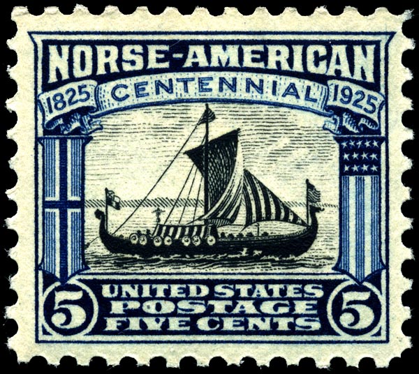
Norwegian Americans () are Americans with ancestral roots in Norway. Norwegian immigrants went to the United States primarily in the latter half of the 19th century and the first few decades of the 20th century. There are more than 4.5 million Norwegian Americans, according to the 2021 U.S. census; most live in the Upper Midwest and on the West Coast of the United States. Immigration Viking-era exploration Norsemen from Greenland and Iceland were the first Europeans to reach North America. Leif Erikson reached North America via Norse settlements in Greenland around the year 1000. Norse settlers from Greenland founded the settlement of L'Anse aux Meadows in Vinland, in what is now Newfoundland, Canada. These settlers failed to establish a permanent settlement because of conflicts with indigenous people and within the Norse community. Colonial settlement The Netherlands, and especially the cities of Amsterdam and Hoorn, had strong commercial ties with the coastal lumber t ... [...More Info...] [...Related Items...] OR: [Wikipedia] [Google] [Baidu] |
English Americans
English Americans (also known as Anglo-Americans) are Americans whose ancestry originates wholly or partly in England. In the 2020 United States census, English Americans were the largest group in the United States with 46.6 million Americans self-identifying as having some English origins (many combined with another heritage) representing (19.8%) of the White American population. This includes 25,536,410 (12.5% of whites) identified as predominantly or "English alone". Overview Despite their status as the largest self-identified ancestral-origin group in the United States, demographers still regard the number of English Americans as an undercount. As most English Americans are the descendants of settlers who first arrived during the colonial period which began over 400 years ago, many Americans are either unaware of this heritage or choose to elect a more recent known ancestral group even if English is their primary ancestry. The term is distinct from British Americ ... [...More Info...] [...Related Items...] OR: [Wikipedia] [Google] [Baidu] |
Irish Americans
Irish Americans () are Irish ethnics who live within in the United States, whether immigrants from Ireland or Americans with full or partial Irish ancestry. Irish immigration to the United States From the 17th century to the mid-19th century Some of the first Irish people to travel to the New World did so as members of the Spanish garrison in Florida during the 1560s. Small numbers of Irish colonists were involved in efforts to establish colonies in the Amazon region, in Newfoundland, and in Virginia between 1604 and the 1630s. According to historian Donald Akenson, there were "few if any" Irish forcibly transported to the Americas during this period. Irish immigration to the Americas was the result of a series of complex causes. The Tudor conquest and subsequent colonization by English and Scots people during the 16th and 17th centuries had led to widespread social upheaval in Ireland. Many Irish people tried to seek a better life elsewhere. At the time Eur ... [...More Info...] [...Related Items...] OR: [Wikipedia] [Google] [Baidu] |
German Americans
German Americans (, ) are Americans who have full or partial German ancestry. According to the United States Census Bureau's figures from 2022, German Americans make up roughly 41 million people in the US, which is approximately 12% of the population. This represents a decrease from the 2012 census where 50.7 million Americans identified as German. The census is conducted in a way that allows this total number to be broken down in two categories. In the 2020 census, roughly two thirds of those who identify as German also identified as having another ancestry, while one third identified as German alone. German Americans account for about one third of the total population of people of German ancestry in the world. The first significant groups of German immigrants arrived in the British America, British colonies in the 1670s, and they settled primarily in the colonial states of Province of Pennsylvania, Pennsylvania, Province of New York, New York, and Colony of Virginia, Virginia ... [...More Info...] [...Related Items...] OR: [Wikipedia] [Google] [Baidu] |
Kootenai National Forest
The Kootenai National Forest is a United States National Forest, national forest located in the far northwestern section of Montana and the northeasternmost lands in the Idaho panhandle in the United States, along the Canada–United States border, Canada–US border. Of the administered by the forest, less than 3 percent is located in the state of Idaho. Forest headquarters are located in Libby, Montana. There are local ranger district offices in Eureka, Montana, Eureka, Fortine, Montana, Fortine, Libby, Montana, Libby, Trout Creek, Montana, Trout Creek, and Troy, Montana. About 53 percent of the Cabinet Mountains Wilderness is located within the forest, with the balance lying in neighboring Kaniksu National Forest. Snowshoe Peak in the Cabinet Mountains Wilderness, at , is the highest peak within the forest. Mountain ranges included in the forest include the Whitefish, Purcell Mountains, Purcell, Bitterroot Mountains, Bitterroot, Salish Mountains, Salish, and Cabinet ... [...More Info...] [...Related Items...] OR: [Wikipedia] [Google] [Baidu] |
Kaniksu National Forest
The Kaniksu National Forest (pronounced , ) is a U.S. National Forest located in northeastern Washington, the Idaho Panhandle, and northwestern Montana. It is one of three forests that are aggregated into the Idaho Panhandle National Forests, along with the Coeur d'Alene National Forest and St. Joe National Forest. Kaniksu National Forest has a total area of . About 55.7% is in Idaho, 27.9% in Montana, and 16.4% in Washington. The name ''Kaniksu'' is from a Kalispel Indian word which means "black robe." It was used to refer to the Jesuit missionaries who brought their faith to North Idaho and Eastern Washington. History Kaniksu National Forest was established on July 1, 1908, from a portion of Priest River National Forest. On September 30, 1933, a portion of Pend Oreille National Forest was added, and on July 1, 1954, part of Cabinet National Forest was added. Kaniksu was administratively combined with Coeur d'Alene and St. Joe National Forests on July 1, 1973. The fore ... [...More Info...] [...Related Items...] OR: [Wikipedia] [Google] [Baidu] |
Flathead National Forest
The Flathead National Forest is a national forest in the western part of the U.S. state of Montana. The forest lies primarily in Flathead County, south of Glacier National Park. The forest covers of which about is designated wilderness. It is named after the Flathead Native Americans who live in the area. Description The forest lies primarily in Flathead County (about 73% of its acreage), but smaller areas extend into five other counties. In descending order of land area they are Powell, Missoula, Lake, Lewis and Clark, and Lincoln counties. Forest headquarters are located in Kalispell, Montana. There are local ranger district offices in Bigfork, Hungry Horse, and Whitefish. The Flathead National Forest is bordered by Glacier National Park and Canada to the north, the Lewis and Clark National Forest and Glacier to the east, the Lolo National Forest to the south, and the Kootenai National Forest to the west. The wilderness areas in the forest are the Bob Marshall ... [...More Info...] [...Related Items...] OR: [Wikipedia] [Google] [Baidu] |


