|
Leebotwood
Leebotwood ( ) is a small village and Civil parishes in England, civil parish in Shropshire, England. It is about south of Shrewsbury and north of Church Stretton. Geography The village is located on the A49 road, north of Church Stretton and south of the village of Dorrington, Shropshire, Dorrington. Nearby villages include Longnor, Shropshire, Longnor (approximately 1½ miles to the north) and All Stretton which is 2 miles distant, between Leebotwood and Church Stretton. Leebotwood is the only recognisable settlement in the parish. The Cound Brook passes through the village, flowing north towards Longnor. The parish was part of the borough of Shrewsbury and Atcham, which existed 1973–2009. It continues to be part of the Parliament of the United Kingdom, Parliamentary constituency of Shrewsbury and Atcham (UK Parliament constituency), Shrewsbury and Atcham and in the area of Shropshire Council, Shropshire's unitary Council. Transport The Welsh Marches Line, Welsh Marches ... [...More Info...] [...Related Items...] OR: [Wikipedia] [Google] [Baidu] |
Longnor, Shropshire
Longnor is a village and civil parish off the A49 road, south of Dorrington, Shropshire, Dorrington and north of Leebotwood in Shropshire, England, with a population of 289. The nearest railway station is Church Stretton railway station, Church Stretton, 4.7 miles (7.6 km) away. The Cound Brook flows just west of the village and its medieval deer park. The village contains Longnor Hall and the Grade I listed medieval St Mary's Church. National Cycle Route 44#Regional Route 32/33, Regional Cycle Route 32/33 passes through, as do buses between Church Stretton and Shrewsbury and Radbrook Green. The village is also noted for a ghost, the White Lady of Longnor. Facilities Church St. Mary's Church is a Grade 1 Listed Building in the medieval Early English Period, Early English style. It has been continually and carefully conserved down the centuries. Two new stained glass windows were installed in 2000, to mark the turn of the millennium. Originally a chapel for Condover, it b ... [...More Info...] [...Related Items...] OR: [Wikipedia] [Google] [Baidu] |
Leebotwood Railway Station
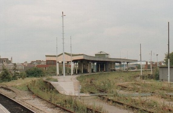
Leebotwood railway station was a station in Leebotwood, Shropshire Shropshire (; abbreviated SalopAlso used officially as the name of the county from 1974–1980. The demonym for inhabitants of the county "Salopian" derives from this name.) is a Ceremonial counties of England, ceremonial county in the West M ..., England. The station was opened in 1852 and closed in 1958. References Further reading * Disused railway stations in Shropshire Railway stations in Great Britain opened in 1852 Railway stations in Great Britain closed in 1958 Former Shrewsbury and Hereford Railway stations {{WestMidlands-railstation-stub ... [...More Info...] [...Related Items...] OR: [Wikipedia] [Google] [Baidu] |
Cound Brook
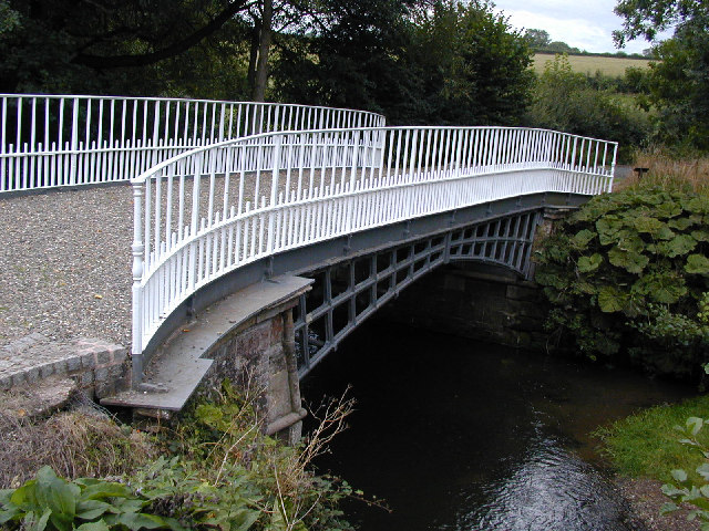
Cound Brook (pronounced COOnd) is a tributary of the River Severn in Shropshire, England, running to south of the county town Shrewsbury. The Cound Brook rises in the Stretton Hills, and enters the River Severn at Eyton on Severn after winding its way for across the southern Shropshire-Severn plain. This length is measured from high on the Long Mynd (near Boiling Well). The flow of the Cound Brook can vary from sluggish in a dry summer to a raging torrent in winter or spring. The river is crossed by several bridges along its route, including two historic and unusual iron bridges. Several other roads cross the river as fords. The river has breached its banks on the lower flood plain several times in the past, and is now monitored by the local rivers authority. The river is named after Cound, the last settlement it passes through prior to the confluence with the River Severn. Conversely, one of the villages on its route, Condover, is thought to have been named after the riv ... [...More Info...] [...Related Items...] OR: [Wikipedia] [Google] [Baidu] |
Botvyle
All Stretton is a village and a now separate civil parish in Shropshire, England. Much of it is covered by a Conservation Area. Geography All Stretton lies about a mile to the north of the market town of Church Stretton, on the old Shrewsbury Road (the B5477) – Shrewsbury is 12 miles to the north. Similarly, the small village of Little Stretton lies to the south of Church Stretton on the same road. The village lies between 580 and 600 feet above sea level at the northern end of the Stretton Gap. The beginning of the Cound Brook, a minor river that runs 25 miles across the southern Shropshire-Severn plains, is found in the village, where the stream from the Batch valley joins the Ashbrook. To the west of All Stretton is the Long Mynd, and to the east is Caer Caradoc. The village does not lie in the parish of All Stretton, which is to its north, but in the civil parish of Church Stretton, which has a town council, of which All Stretton forms a parish ward. The southern part ... [...More Info...] [...Related Items...] OR: [Wikipedia] [Google] [Baidu] |
Dorrington, Shropshire
Dorrington is a village in the civil parish of Condover, in Shropshire, England, it is located south of Shrewsbury. The population of the village was estimated as being 619 in 2008. The Cound Brook flows to the east of the village, and to the southwest is Netley Hall. The A49 road runs through the village, which has a number of businesses located both in a small business park and along the main road. The public house, The Horseshoes, is a Grade II listed building. The village also has a Persian restaurant, a convenience store, a butcher's shop, a post office and numerous other small businesses. There is also a primary school and a village hall. The village Church of England church is dedicated to Saint Edward. To the east is Ryton. Both Ryton and Dorrington lie in the civil parish of Condover. Dorrington forms a ward of the parish and sends four councillors to the parish council. Railways The village did once have a railway station on the Shrewsbury and Hereford Railway, o ... [...More Info...] [...Related Items...] OR: [Wikipedia] [Google] [Baidu] |
All Stretton
All Stretton is a village and a now separate Civil parishes in England, civil parish in Shropshire, England. Much of it is covered by a Conservation Area (United Kingdom), Conservation Area. Geography All Stretton lies about a mile to the north of the market town of Church Stretton, on the old Shrewsbury Road (the B5477) – Shrewsbury is 12 miles to the north. Similarly, the small village of Little Stretton, Shropshire, Little Stretton lies to the south of Church Stretton on the same road. The village lies between 580 and 600 feet above sea level at the northern end of the Stretton Gap. The beginning of the Cound Brook, a minor river that runs 25 miles across the southern Shropshire-River Severn, Severn plains, is found in the village, where the stream from the Batch valley joins the Ashbrook. To the west of All Stretton is the Long Mynd, and to the east is Caer Caradoc. The village does not lie in the parish of All Stretton, which is to its north, but in the civil parish of ... [...More Info...] [...Related Items...] OR: [Wikipedia] [Google] [Baidu] |
Church Stretton Railway Station
Church Stretton railway station is a railway station serving the town of Church Stretton in Shropshire, England on the Welsh Marches line, south of Shrewsbury railway station; trains on the Heart of Wales line also serve the station. All trains services are operated by Transport for Wales Rail, Transport for Wales, who also manage the station. The station is the highest point of the line between Shrewsbury railway station, Shrewsbury and Craven Arms railway station, Craven Arms, and is the highest station in Shropshire. On the northbound platform, a small plinth notes the station's altitude: above sea level. History The station opened on 20 April 1852 as part of the newly created Shrewsbury and Hereford Railway. It was originally to the north of what is now Sandford Avenue and the old station building still remains, but is no longer in railway use. Sandford Avenue had been for centuries called Lake Lane and became Station Road with the arrival of the railway in the town, befo ... [...More Info...] [...Related Items...] OR: [Wikipedia] [Google] [Baidu] |
A49 Road
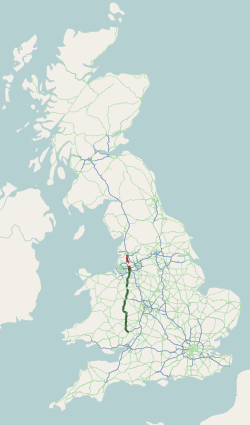
The A49 is an A road in western England, which traverses the Welsh Marches region. It runs north from Ross-on-Wye in Herefordshire via Hereford, Leominster, Ludlow, Shrewsbury and Whitchurch, then continues through central Cheshire to Warrington and Wigan before terminating at its junction with the A6 road just south of Bamber Bridge, near the junction of the M6, M65 and M61 motorways. As is hinted at by the way the place name of ''Stretton'' recurs along its route, its central part follows Iter XII of the Roman Antonine Itinerary. The stretch between Ross-on-Wye and the A5 at Shrewsbury is a trunk road, maintained by National Highways. Route Lancashire From the A6 at Bamber Bridge, south of Preston, the road runs parallel to the M6 motorway, through Leyland towards Wigan. Through Ashton-in-Makerfield and Newton-le-Willows, reaching Warrington via Winwick. In June 2020, a new section of the A49 opened forming part of a link between Wigan town centre and junction 25 ... [...More Info...] [...Related Items...] OR: [Wikipedia] [Google] [Baidu] |
Cardiff Central Railway Station
Cardiff Central () is a major station on the South Wales Main Line. It is located in the capital of Wales, Cardiff, down the line from London Paddington, via , and measured via . It is one of the city's two urban rail network hubs, along with Cardiff Queen Street. Opened in 1850 as ''Cardiff'' station, it was renamed ''Cardiff General'' in 1924 and then ''Cardiff Central'' in 1973. The station is sited at Central Square, in Cardiff city centre. The Grade II listed building is managed by Transport for Wales Rail, and is both the largest and busiest station in Wales. Cardiff Central is one of twenty railway stations in the city and one of two in the city centre, serving as a hub for the Valleys & Cardiff Local Routes. It is an interchange for services between South Wales, West Wales and North Wales, as well as other major British cities. Transport for Wales Rail operates services to most destinations in Wales and to Manchester, while CrossCountry operates trains to , Bi ... [...More Info...] [...Related Items...] OR: [Wikipedia] [Google] [Baidu] |
Street, Somerset
Street is a large village and civil parish in Somerset, England, with a population of 12,709 in 2021. On a dry spot in the Somerset Levels, at the end of the Polden Hills, it is southwest of Glastonbury. There is evidence of Roman occupation. Much of the history of the village is dominated by Glastonbury Abbey, and a 12th-century causeway from Glastonbury built to transport local Blue Lias stone to it. The Religious Society of Friends, Society of Friends was established there by the mid-17th century. One Quaker family, the Clarks, started a business in sheepskin rugs, woollen slippers and, later, boots and shoes. This became C&J Clark which still has its headquarters in Street. In 1993, redundant factory buildings were converted to form Clarks Village, the first purpose-built factory outlet in the United Kingdom. The Shoe Museum provides information about the history of Clarks and footwear manufacture in general. The Clark family's former mansion and its estate at the edge of ... [...More Info...] [...Related Items...] OR: [Wikipedia] [Google] [Baidu] |
Augustinian Canons
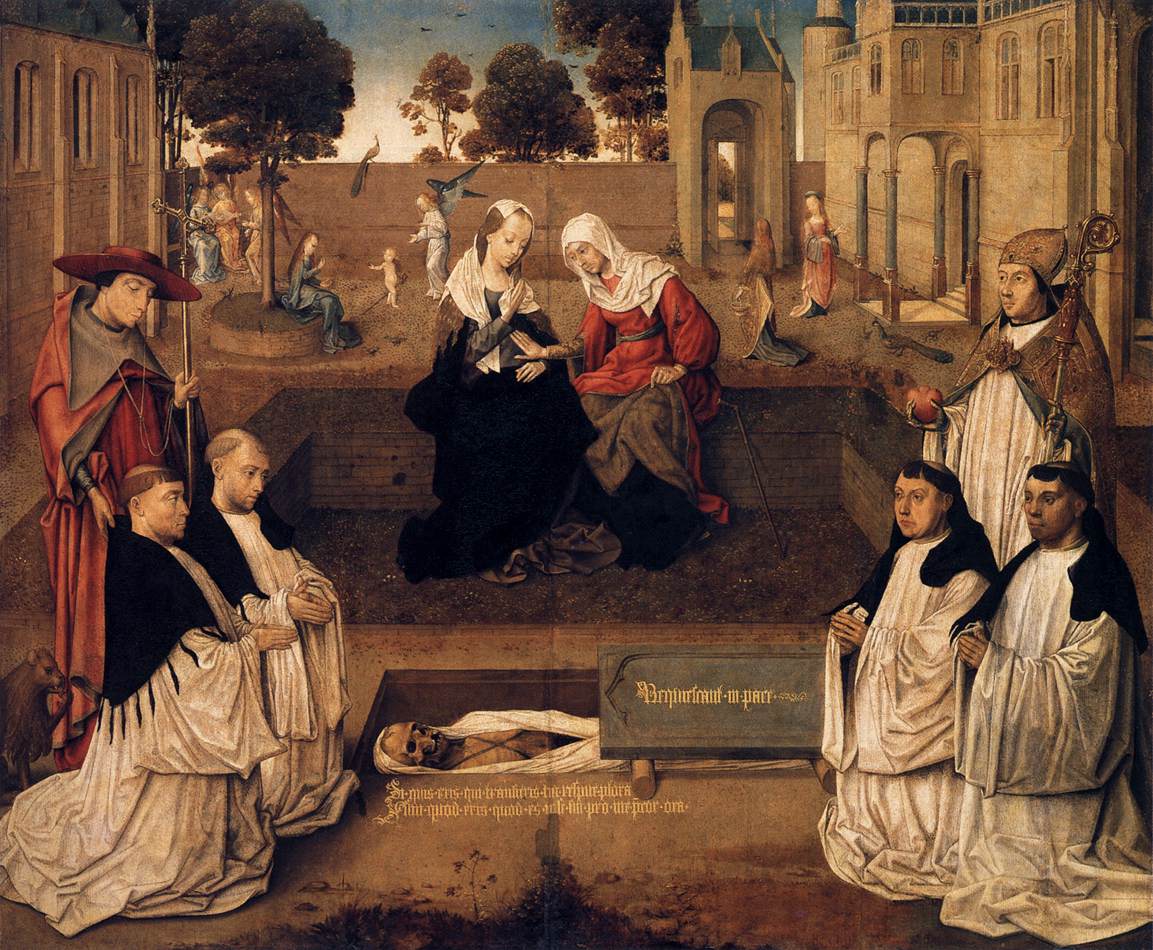
The Canons Regular of St. Augustine are Catholic priests who live in community under a rule ( and κανών, ''kanon'', in Greek) and are generally organised into religious orders, differing from both secular canons and other forms of religious life, such as clerics regular, designated by a partly similar terminology. As religious communities, they have laybrothers as part of the community. At times, their Orders have been very popular: in England in the 12th century, there were more houses of canons (often referred to as an abbey or canonry) than monasteries of monks. Preliminary distinctions All canons regular are to be distinguished from secular canons who belong to a resident group of priests but who do not take public vows and are not governed in whatever elements of life they lead in common by a historical rule. One obvious place where such groups of priests are required is at a cathedral, where there were many Masses to celebrate and the Divine Office to be pray ... [...More Info...] [...Related Items...] OR: [Wikipedia] [Google] [Baidu] |
Henry II Of England
Henry II () was King of England The monarchy of the United Kingdom, commonly referred to as the British monarchy, is the form of government used by the United Kingdom by which a hereditary monarch reigns as the head of state, with their powers Constitutional monarchy, regula ... from 1154 until his death in 1189. During his reign he controlled Kingdom of England, England, substantial parts of Wales in the High Middle Ages, Wales and Lordship of Ireland, Ireland, and much of Kingdom of France, France (including Duchy of Normandy, Normandy, County of Anjou, Anjou, and Duchy of Aquitaine, Aquitaine), an area that altogether was later called the Angevin Empire, and also held power over Kingdom of Scotland, Scotland and the Duchy of Brittany. Henry was the eldest son of Geoffrey Plantagenet, Count of Anjou, and Empress Matilda, Matilda, daughter of Henry I of England. By the age of fourteen, he became politically and militarily involved in The Anarchy, his mother's efforts ... [...More Info...] [...Related Items...] OR: [Wikipedia] [Google] [Baidu] |


