|
Lake Kaņieris
Kaņieris Lake or Lake Kaņieris is a lake in Latvia located in the Ķemeri National Park west of the city of Jūrmala. Lake is located in Engure Municipality, main part of it in Lapmežciems Parish and a smaller part in Smārde Parish. Since 1995 Lake Kaņieris is designated a Ramsar wetland of international importance. Geography lake is a former lagoon of the prehistoric Littorina Sea. It is heavily overgrown. Lake bed is covered with dolomite rubble, sludge. The largest tributary - Slocene. Initially, the lake belonged to the Lielupe basin, along the present at Sloka flowing into the Lielupe. In 1905, an approximately 1 km long was excavated, which connects the lake with Gulf of Riga. 14 islands with a total area of 15.9 ha, including five artificial islands to promote waterfowl nesting. Hydrology The water level of the lake has been changed several times. At the beginning of the 20th century it was 2–2.3 m above sea level, then it was lowered several times ... [...More Info...] [...Related Items...] OR: [Wikipedia] [Google] [Baidu] |
Slocene
Slocene is a river in Zemgale, historical region of Latvia. It flows through the Tukums municipality and Engure municipality into the Lake Kaņieris within the territory of the Ķemeri National Park. Chemical and ecological status The Slocene River is a moderate-flow upland watercourse in north-western Latvia that extends for roughly 49 km and drains an area of about 242 km². Its basin is underlain by sandy loam soils and lies predominantly over a substrate of sand, gravel and stones. Nearly one third of the catchment is devoted to arable and pastoral farming, while almost half is covered by mixed forests, which together shape both the volume and quality of water entering the river. Water-quality monitoring between 2007 and 2018 reveals pronounced seasonal swings in nutrient levels. Total nitrogen (TN) concentrations peaked at 21 milligrammes per litre (mg L⁻¹) during spring snowmelt and fell to as low as 0.86 mg L⁻¹ in late autumn. Total phosphorus ... [...More Info...] [...Related Items...] OR: [Wikipedia] [Google] [Baidu] |
Lielupe
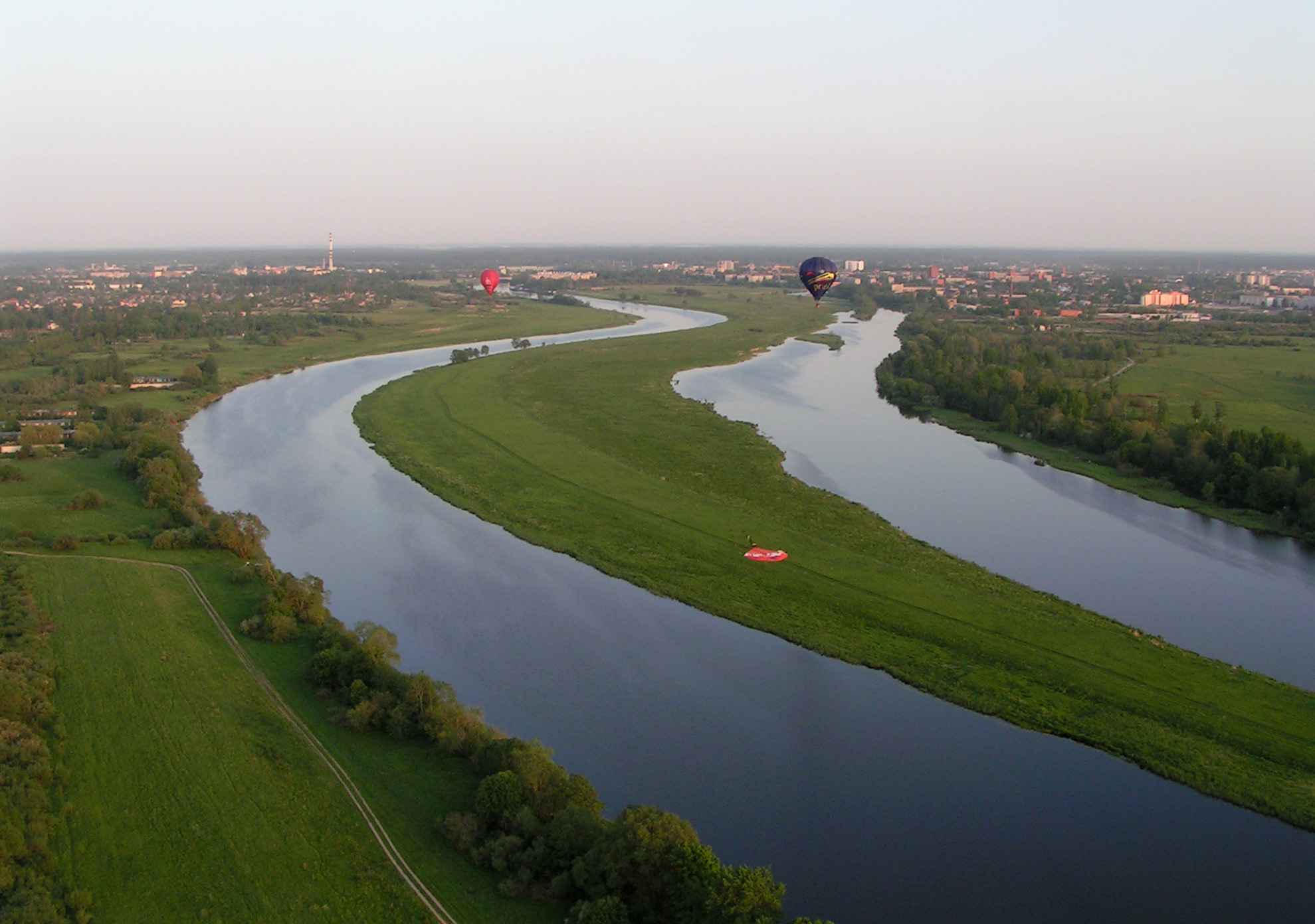
The Lielupe ( in Latvian language, Latvian Literal translation, literally: ''Large River'', , ) is a river in central Latvia. Its length is (the length would reach if the Mēmele River were counted as part of the Lielupe). The surface area of its drainage basin is . The average fall of the Lielupe is about () and its average flow is , although a maximum of has been reached during floods. Physical geography The Lielupe begins at the confluence of the Mēmele and Mūsa rivers near Bauska. For the upper part of its course, the river flows through a dolomite valley with a few small rapids, until it reaches Mežotne, where it widens and deepens over the flat Zemgale Plain. For many years the Lielupe would frequently overflow its shallow banks and flood surrounding fields and villages, particularly during the spring thaw. Today many parts of the Lielupe's banks are contained with earthen dikes to prevent disastrous floods. Much of the Lielupe is covered in river grasses. At its l ... [...More Info...] [...Related Items...] OR: [Wikipedia] [Google] [Baidu] |
Nature Trail
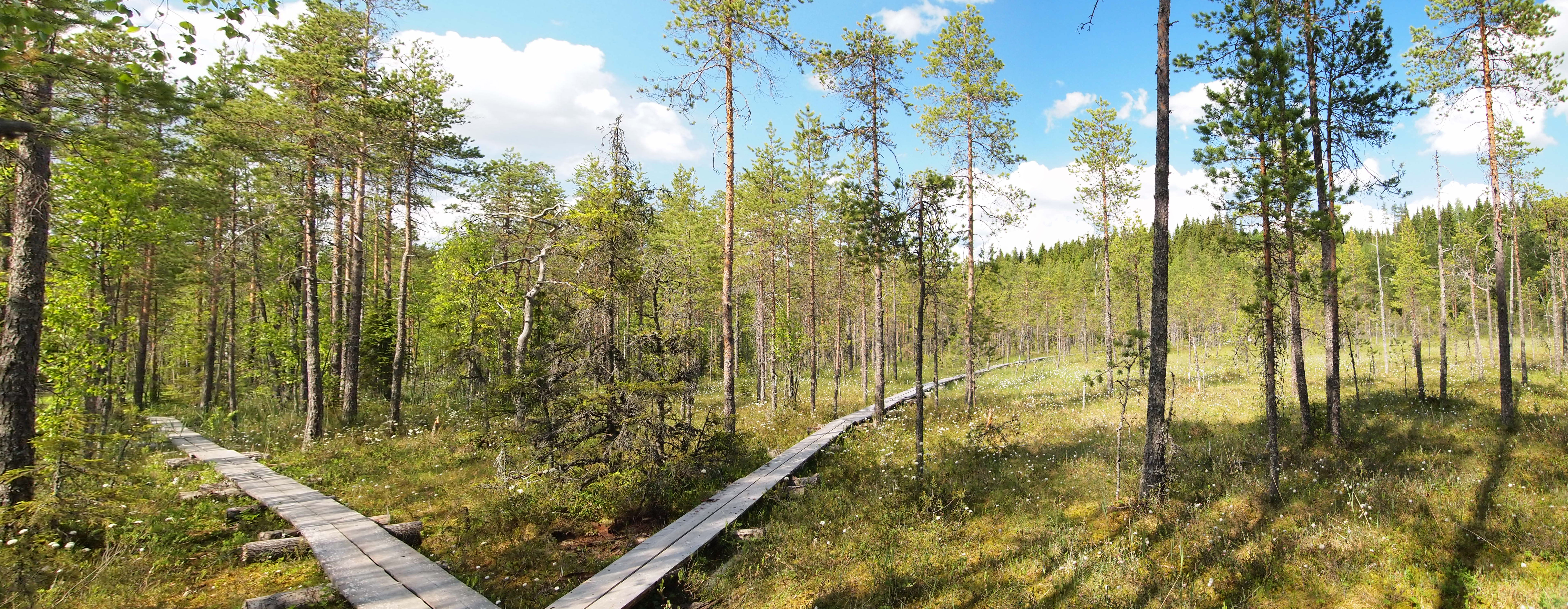
An educational trail (or sometimes educational path), nature trail or nature walk is a specially developed hiking trail or footpath that runs through the countryside, along which there are marked stations or stops next to points of natural science, natural, technological or cultural interest. These may convey information about, for example, flora and fauna, soil science, geology, mining, ecology or cultural history. Longer trails, that link more widely spaced natural phenomena or structures together, may be referred to as themed trails or paths. In order to give a clearer explanation of the objects located at each station, display boards or other exhibits are usually erected, in keeping with the purpose of the trail. These may include: information boards, photographs and pictures, maps or plans, display cases and models, slides, sound or multimedia devices, facilities to enable experimentation and so on. The routes are regularly maintained. Educational trails with a strong thema ... [...More Info...] [...Related Items...] OR: [Wikipedia] [Google] [Baidu] |
Bird Watching
Birdwatching, or birding, is the observing of birds, either as a recreational activity or as a form of citizen science. A birdwatcher may observe by using their naked eye, by using a visual enhancement device such as binoculars or a telescope, by listening for bird sounds, watching public webcams, or by viewing smart bird feeder cameras. Most birdwatchers pursue this activity for recreational or social reasons, unlike ornithologists, who engage in the study of birds using formal scientific methods. Birding, birdwatching, and twitching The first recorded use of the term ''birdwatcher'' was in 1712 by William Oldsworth. The term ''birding'' was also used for the practice of ''fowling'' or hunting with firearms as in Shakespeare's '' The Merry Wives of Windsor'' (1602): "She laments sir... her husband goes this morning a-birding." The terms ''birding'' and ''birdwatching'' are today used by some interchangeably, although some participants prefer ''birding'', partly because ... [...More Info...] [...Related Items...] OR: [Wikipedia] [Google] [Baidu] |
Nature Reserve
A nature reserve (also known as a wildlife refuge, wildlife sanctuary, biosphere reserve or bioreserve, natural or nature preserve, or nature conservation area) is a protected area of importance for flora, fauna, funga, or features of geological or other special interest, which is reserved and managed for purposes of Conservation (ethic), conservation and to provide special opportunities for study or research. They may be designated by government institutions in some countries, or by private landowners, such as charities and research institutions. Nature reserves fall into different IUCN protected area categories, IUCN categories depending on the level of protection afforded by local laws. Normally it is more strictly protected than a nature park. Various jurisdictions may use other terminology, such as ecological protection area or private protected area in legislation and in official titles of the reserves. History Cultural practices that roughly equate to the establishmen ... [...More Info...] [...Related Items...] OR: [Wikipedia] [Google] [Baidu] |
Important Bird Area
An Important Bird and Biodiversity Area (IBA) is an area identified using an internationally agreed set of criteria as being globally important for the conservation of bird populations. IBA was developed and sites are identified by BirdLife International. There are over 13,000 IBAs worldwide. These sites are small enough to be entirely conserved and differ in their character, habitat or ornithological importance from the surrounding habitat. In the United States the program is administered by the National Audubon Society. Often IBAs form part of a country's existing protected area network, and so are protected under national legislation. Legal recognition and protection of IBAs that are not within existing protected areas varies within different countries. Some countries have a National IBA Conservation Strategy, whereas in others protection is completely lacking. History In 1985, following a specific request from the European Economic Community, Birdlife International dr ... [...More Info...] [...Related Items...] OR: [Wikipedia] [Google] [Baidu] |
Waterfowl
Anseriformes is an order of birds also known as waterfowl that comprises about 180 living species of birds in three families: Anhimidae (three species of screamers), Anseranatidae (the magpie goose), and Anatidae, the largest family, which includes over 170 species of waterfowl, among them the ducks, geese, and swans. Most modern species in the order are highly adapted for an aquatic existence at the water surface. With the exception of screamers, males have penises, a trait that has been lost in the Neoaves, the clade consisting of all other modern birds except the galliformes and paleognaths. Due to their aquatic nature, most species are web-footed. Evolution Anseriformes are one of only two types of modern bird to be confirmed present during the Mesozoic alongside the other dinosaurs, and in fact were among the very few birds to survive their extinction, along with their cousins, the Galliformes. These two groups only occupied two ecological niches during the Mesozoic, ... [...More Info...] [...Related Items...] OR: [Wikipedia] [Google] [Baidu] |
Gulf Of Riga
The Gulf of Riga, Bay of Riga, or Gulf of Livonia (, , ) is a bay of the Baltic Sea between Latvia and Estonia. The island of Saaremaa (Estonia) partially separates it from the rest of the Baltic Sea. The main connection between the gulf and the Baltic Sea is the Irbe Strait. The Gulf of Riga, as a sub-basin of the Baltic, also includes the Väinameri Sea in the West Estonian archipelago. Geography Extent The International Hydrographic Organization defines the Gulf of Riga's western limit as "A line running from Lyser Ort (57°34'N), in Latvia, to the South extreme of Saaremaa, through this island to Pammana (22°34'E), thence to Emmaste Point, the S extreme of Hiiumaa, through Hiiumaa to Tahkuna Point, the North extreme thereof, and on to Spithamn Point in Estonia". Islands Major islands in the gulf include Saaremaa, Kihnu, and Ruhnu, which are all in Estonian territory. Kihnu covers an area of . Saaremaa island is responsible for the brackish water of the ... [...More Info...] [...Related Items...] OR: [Wikipedia] [Google] [Baidu] |
Sloka, Latvia
Sloka is a residential area and neighbourhood of the city Jūrmala, Latvia. History Sloka is first mentioned in historical records in 1255 under the names ''Slock'' and ''Schlocken''. It developed as a fishing village at the river Slocene under the Livonian Order. During the 17th century the Duke of Courland established lime kilns, copper furnaces and a foundry in Sloka. As part of Courland, the village became Lutheran and the first church was built in 1567. The Sloka Station, Sloka railway station was established in 1877. Under Russian law, Sloka gained town rights in 1878. It existed as a separate town until 1959 when it was merged with Ķemeri and the Riga district of Jūrmala to form the Jūrmala, City of Jūrmala. JŪRMALA, Nature and Cultural Heritage, Ed. LaimaSlava, Neputns 2004, , pages 78-83 References External links Neighbourhoods in Jūrmala {{Vidzeme-geo-stub ... [...More Info...] [...Related Items...] OR: [Wikipedia] [Google] [Baidu] |
