|
Kawaguchi-ko
is located in the town of Fujikawaguchiko in southern Yamanashi Prefecture near Mount Fuji, Japan. It is the second largest of the Fuji Five Lakes in terms of surface area, and is located at the lowest elevation. It is situated at an altitude of approximately , which accounts for its relatively cool summers and frequently icy winters. It also has the longest shoreline of any of the Fuji Five Lakes. The lake is within the borders of the Fuji-Hakone-Izu National Park. The lake has no natural outlet, and flooding of settlements on its shores was a problem until the construction of a canal, completed in 1914, to connect it to a tributary of the Sagami River. As with the other Fuji Five Lakes, the area is a popular resort, with many lakeside hotels, windsurfing facilities, camp sites, and excursion boats. Japanese white crucian carp and ''wakasagi'' were introduced to the lake in the Meiji period, and sports fishing is also popular. Lake Kawaguchi is the most popular of the Fuji Fiv ... [...More Info...] [...Related Items...] OR: [Wikipedia] [Google] [Baidu] |
Fuji Five Lakes
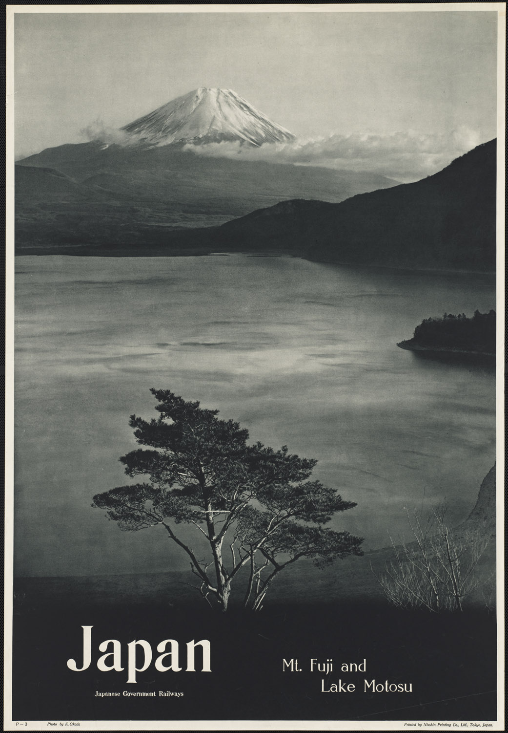
is the name of the area located at the base of Mount Fuji in the Yamanashi Prefecture of Japan. It has a population of about 100,000 and sits about above sea level. The name Fuji Five Lakes comes from the fact that there are five lakes formed by previous eruptions of Mount Fuji. The principal city in the region, Fujiyoshida, has a population of roughly 54,000 and is particularly famous for its udon noodles. Another point of interest is Aokigahara Jukai Forest. The Fuji Five Lakes was selected by the ''Tokyo Nichi Nichi Shimbun'' and ''Osaka Mainichi Shimbun'' as one of the Twenty-Five Winning Sites of Japan in 1927. Lakes of the Fuji Five Lakes The five lakes are located in an arc around the northern half of Mount Fuji. In ancient times, lava flow from a volcanic eruption of Mount Fuji spread across the area, damming up rivers and resulting in the formation of these lakes. They are all considered excellent tourist attractions and fishing spots. Lake Kawaguchi Lake Kawaguchi ... [...More Info...] [...Related Items...] OR: [Wikipedia] [Google] [Baidu] |
Yamanashi Prefecture
is a prefecture of Japan located in the Chūbu region of Honshu. Yamanashi Prefecture has a population of 817,192 (1 January 2019) and has a geographic area of 4,465 km2 (1,724 sq mi). Yamanashi Prefecture borders Saitama Prefecture to the northeast, Nagano Prefecture to the northwest, Shizuoka Prefecture to the southwest, Kanagawa Prefecture to the southeast, and Tokyo to the east. Kōfu is the capital and largest city of Yamanashi Prefecture, with other major cities including Kai, Minamiarupusu, and Fuefuki. Yamanashi Prefecture is one of only eight landlocked prefectures, and the majority of the population lives in the central Kōfu Basin surrounded by the Akaishi Mountains, with 27% of its total land area being designated as Natural Parks. Yamanashi Prefecture is home to many of the highest mountains in Japan, and Mount Fuji, the tallest mountain in Japan and cultural icon of the country, is partially located in Yamanashi Prefecture on the border with Shizuoka Prefect ... [...More Info...] [...Related Items...] OR: [Wikipedia] [Google] [Baidu] |
Tokyo Station
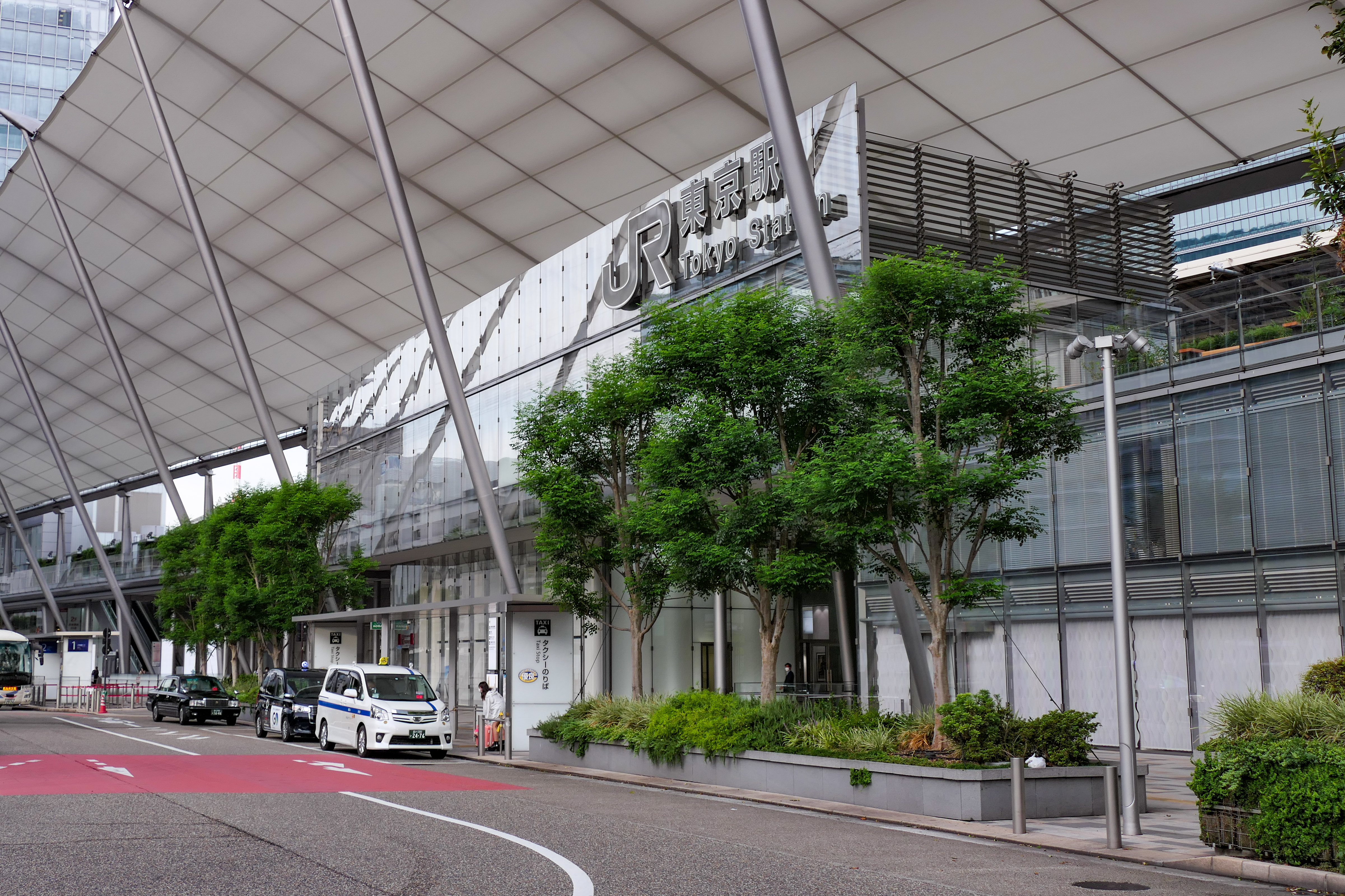
Tokyo Station ( ja, 東京駅, ) is a railway station in Chiyoda, Tokyo, Japan. The original station is located in Chiyoda's Marunouchi business district near the Tokyo Imperial Palace, Imperial Palace grounds. The newer Eastern extension is not far from the Ginza commercial district. Due to the large area covered by the station, it is divided into the Marunouchi (west) and Yaesu (east) sides in its directional signage. Served by the high-speed rail lines of the Shinkansen network, Tokyo Station is the main inter-city rail terminal in Tokyo. It is the busiest station in Japan, with more than 4,000 trains arriving and departing daily, and the fifth-busiest in Eastern Japan in terms of passenger throughput; on average, more than 500,000 people use Tokyo Station every day. The station is also served by many regional commuter lines of Japan Railways, as well as the Tokyo Metro network. Lines Trains on the following lines are available at Tokyo Station: * ** Tōhoku Shinkansen ** ... [...More Info...] [...Related Items...] OR: [Wikipedia] [Google] [Baidu] |
World Heritage Sites In Japan
Japan accepted the UNESCO World Heritage Convention on 30 June 1992. As of July 2021, twenty-five properties have been inscribed on the World Heritage List: twenty cultural sites and five natural sites. A further five sites and one site extension have been submitted for future inscription and are currently on the Tentative List as of 2017. Map World Heritage Sites Tentative list The Tentative List consists of sites previously nominated, but not yet inscribed. Other UNESCO heritage lists See also * Cultural Properties of Japan * National Treasures of Japan * Cultural Landscapes of Japan * National parks of Japan References External links *World Heritage Sites in Japan*Database of National Cultural Properties - World Heritage (世界遺産) {{DEFAULTSORT:World Heritage Sites in Japan Japan Japan ( ja, 日本, or , and formally , ''Nihonkoku'') is an island country in East Asia. It is situated in the northwest Pacific Ocean, and is bordered on the w ... [...More Info...] [...Related Items...] OR: [Wikipedia] [Google] [Baidu] |
Landforms Of Yamanashi Prefecture
A landform is a natural or anthropogenic land feature on the solid surface of the Earth or other planetary body. Landforms together make up a given terrain, and their arrangement in the landscape is known as topography. Landforms include hills, mountains, canyons, and valleys, as well as shoreline features such as bays, peninsulas, and seas, including submerged features such as mid-ocean ridges, volcanoes, and the great ocean basins. Physical characteristics Landforms are categorized by characteristic physical attributes such as elevation, slope, orientation, stratification, rock exposure and soil type. Gross physical features or landforms include intuitive elements such as berms, mounds, hills, ridges, cliffs, valleys, rivers, peninsulas, volcanoes, and numerous other structural and size-scaled (e.g. ponds vs. lakes, hills vs. mountains) elements including various kinds of inland and oceanic waterbodies and sub-surface features. Mountains, hills, plateaux, and plains are the fou ... [...More Info...] [...Related Items...] OR: [Wikipedia] [Google] [Baidu] |


.jpg)