|
João Galego
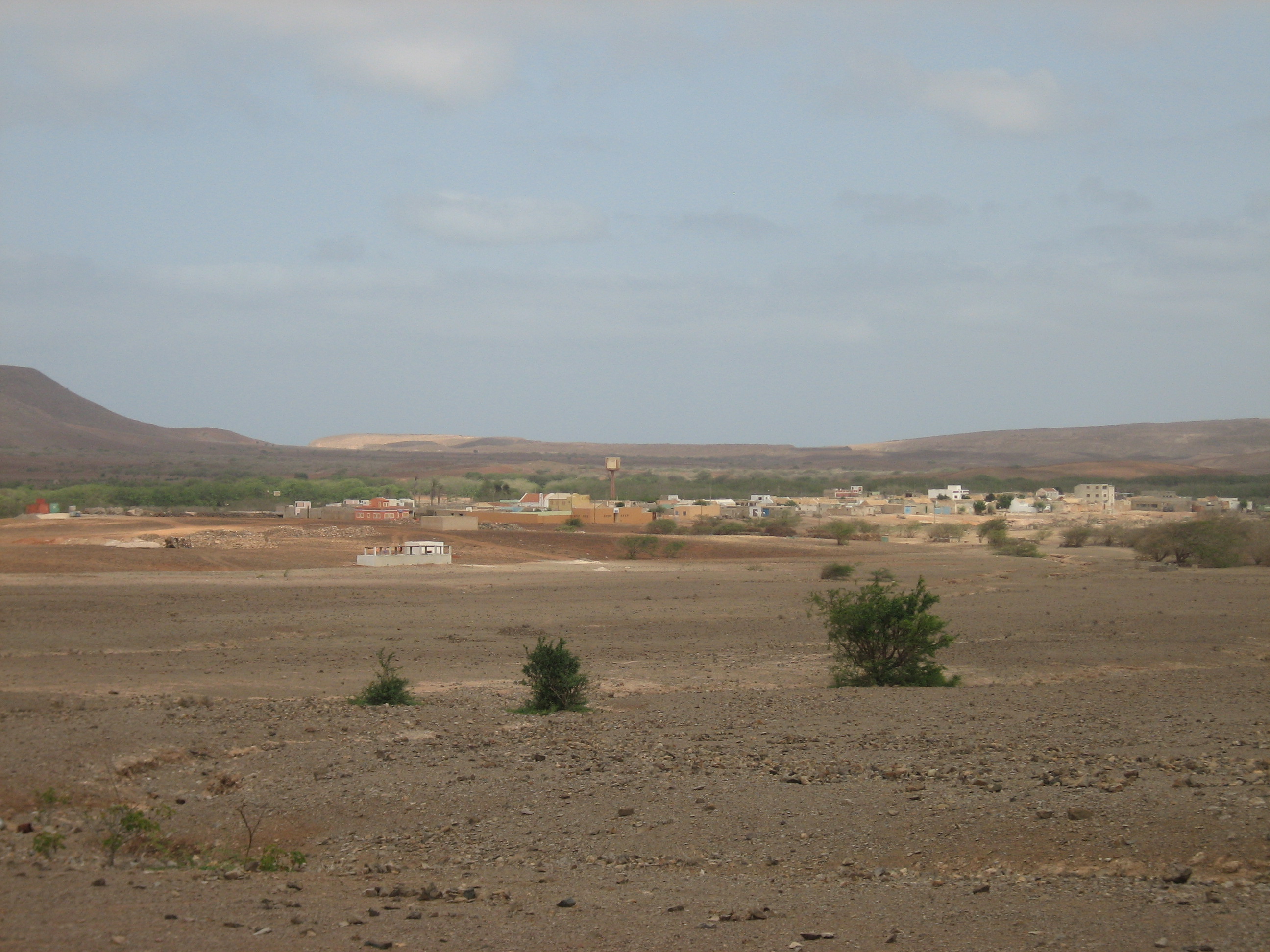
João Galego is a village in the northeastern part of the island of Boa Vista, Cape Verde, Boa Vista, Cape Verde. Its population was 346 at the 2010 census. The village is around 2 km northwest of Fundo das Figueiras and 19 km east of the island capital of Sal Rei. See also *List of villages and settlements in Cape Verde#Boa Vista, List of villages and settlements in Cape Verde Gallery File:João Galego street 1 (2012).jpg, João Galego Main street (2012) File:João Galego Cultural centre (2012).jpg, Cultural centre in João Galego (2012) File:João Galego street 2 (2012).jpg, Main street of João Galego (2012) File:João Galego Church (2012).jpg, Church in João Galego (2012) File:João Galego street 3 (2012).jpg, João Galego Main street (2012) References {{DEFAULTSORT:Joao Galego Villages and settlements in Boa Vista, Cape Verde ... [...More Info...] [...Related Items...] OR: [Wikipedia] [Google] [Baidu] |
Boa Vista, Cape Verde
Boa Vista (Portuguese language, Portuguese for "good view"), sometimes incorrectly spelled Boavista, is a desert-like island that belongs to the Cape Verde Islands. At , it is the third largest island of the Cape Verde archipelago. The island of Boa Vista is closer to the African continent than all the other islands in Cape Verde, being the easternmost island of all. The distance between Boa Vista and Senegal is only 450 km. The capital of Boa Vista, Sal Rei, is located in the north-western part of the island. Boa Vista is mainly known for its beaches, turtles and traditional music. Geography Boa Vista is the third largest island after Santo Antão and Santiago, with an area of 631.1 square kilometres. It is situated south of Sal and north of Maio. The island is generally flat, but it has numerous hills like Monte Estância (the highest point of the island at 387 m), [...More Info...] [...Related Items...] OR: [Wikipedia] [Google] [Baidu] |
Cape Verde
Cape Verde or Cabo Verde, officially the Republic of Cabo Verde, is an island country and archipelagic state of West Africa in the central Atlantic Ocean, consisting of ten volcanic islands with a combined land area of about . These islands lie between west of Cap-Vert, the westernmost point of continental Africa. The List of islands of Cape Verde, Cape Verde islands form part of the Macaronesia ecoregion, along with the Azores, the Canary Islands, Madeira and the Savage Isles. The Cape Verde archipelago was uninhabited until the 15th century, when Portuguese Empire, Portuguese explorers colonized the islands, establishing one of the first Age of Discovery, European settlements in the tropics. Due to its strategic position, Cape Verde became a significant location in the Atlantic slave trade, transatlantic slave trade during the 16th and 17th centuries. The islands experienced economic growth during this period, driven by their role by the rapid emergence of merchants, priva ... [...More Info...] [...Related Items...] OR: [Wikipedia] [Google] [Baidu] |
Fundo Das Figueiras
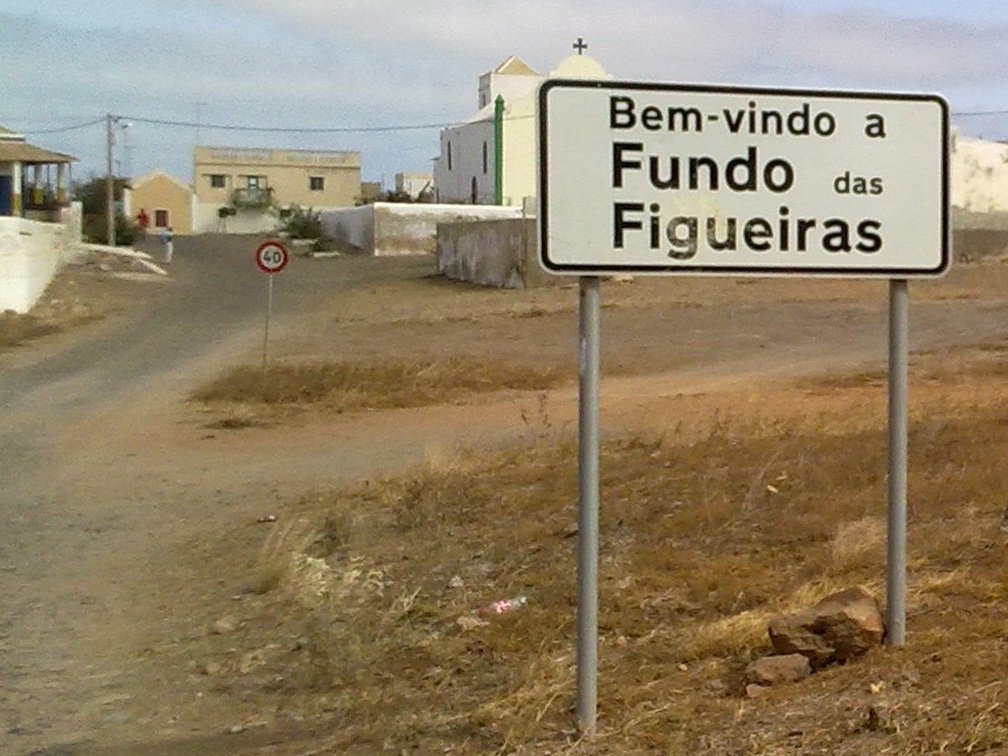
Fundo das Figueiras is a village in the eastern part of the island of Boa Vista. The village is around 21 km east of the island capital of Sal Rei. It is the seat of the civil parish of São João Baptista. 2 km to the south is the village Cabeça dos Tarrafes and 8 km southeast is Ponta Meringuel, the easternmost point in Cape Verde. The village has a church of Saint John Baptist (São João Baptista).Cape Verde Islands pocket guide, Emma Gregg, ''Berlitz'', 2009. Since 2008, an NGO has been active protecting turtle egg laying sites on the Porto Ferreira beach, east of Fundo das Figueiras. See also *List of villages and settlements in Cape Verde This is a list of villages and smaller settlements in Cape Verde: Boa Vista, Cape Verde (municipality), Boa Vista * Bofarreira * Cabeça dos Tarrafes * Curral Velho, Cape Verde, Curral Velho - abandoned settlement * Espingueira - Abandoned Settl ... References {{Boa Vista, Cape Verde Villages and settlements in Boa Vis ... [...More Info...] [...Related Items...] OR: [Wikipedia] [Google] [Baidu] |
Sal Rei
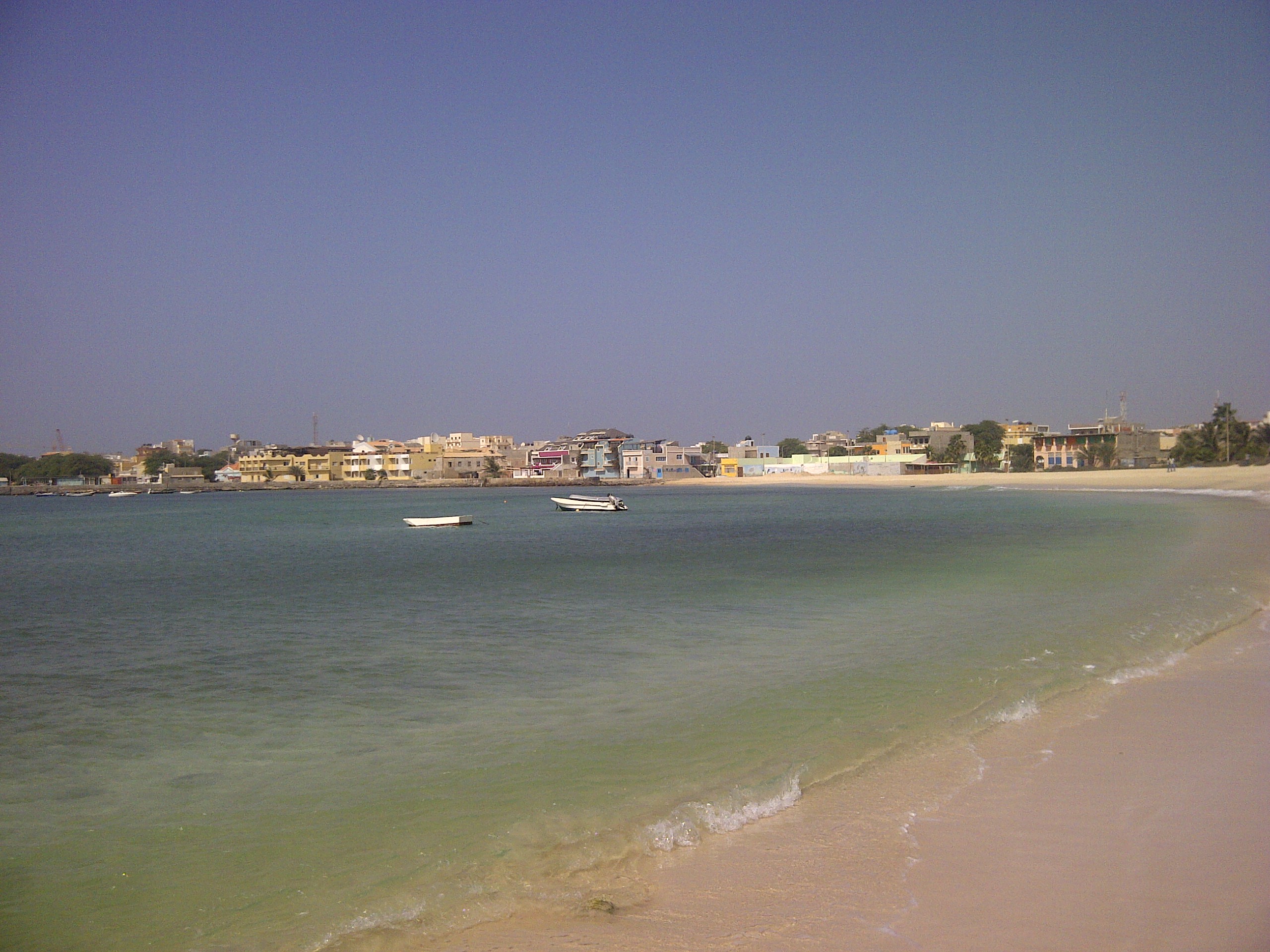
Sal Rei is a cityCabo Verde, Statistical Yearbook 2015 Instituto Nacional de Estatística, p. 32-33 on the northwestern coast of the island of Boa Vista in eastern . Sal Rei is the island's main urban settlement, and the seat of the Boa Vista Municipality. I ... [...More Info...] [...Related Items...] OR: [Wikipedia] [Google] [Baidu] |
List Of Villages And Settlements In Cape Verde
This is a list of villages and smaller settlements in Cape Verde: Boa Vista, Cape Verde (municipality), Boa Vista * Bofarreira * Cabeça dos Tarrafes * Curral Velho, Cape Verde, Curral Velho - abandoned settlement * Espingueira - Abandoned Settlement from the Village * Estância de Baixo * Fundo das Figueiras * João Galego * Povoação Velha * Prazeres, Cape Verde, Prazeres - abandoned settlement Brava, Cape Verde, Brava * Cachaço * Campo Baixo * Cova Joana * Cova Rodela * Fajã de Água * João da Noly * Lem, Cape Verde, Lem * Mato, Cape Verde, Mato * Mato Grande * Nossa Senhora do Monte, Cape Verde, Nossa Senhora do Monte * Santa Bárbara, Cape Verde, Santa Bárbara * Tantum * Tomé Barraz * Vinagre, Cape Verde, Vinagre Fogo, Cape Verde, Fogo * Achada Furna * Achada Grande, Mosteiros, Achada Grande * Atalaia, Cape Verde, Atalaia * Cabeça Fundão * Campanas Baixo * Chã das Caldeiras * Corvo, Cape Verde, Corvo * Curral Grande * Estância Roque * Fajãzinha, Cape Verde, Faj ... [...More Info...] [...Related Items...] OR: [Wikipedia] [Google] [Baidu] |


