|
Jamrud
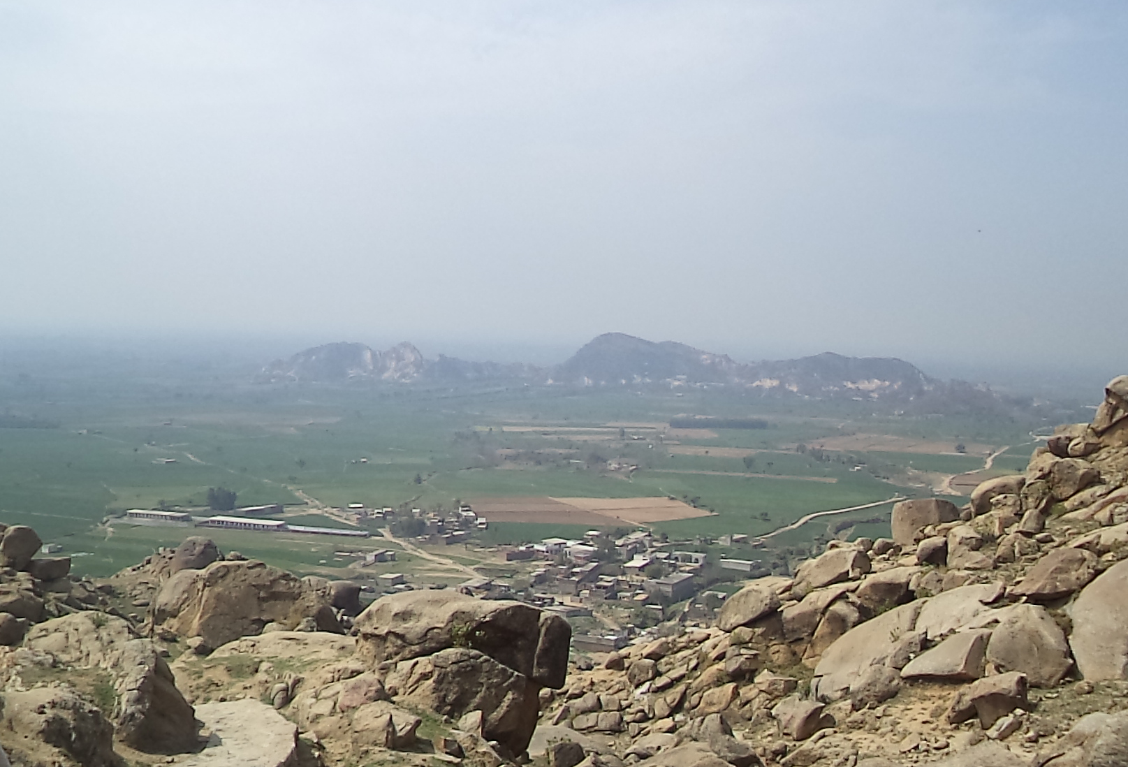
Jamrūd (Pashto/) or Jam () is a town in the Khyber District of Khyber Pakhtunkhwa, Pakistan. Located in the Valley of Peshawar, on the western fringe of Peshawar city, Jamrud is the doorway to the Khyber Pass which is just to the west of the town. The pass connects Jamrud with Landi Kotal to the west, located near the border of Afghanistan's Nangarhar Province. Jamrud has remained a location on the trade route between Central Asia and South Asia, and a strategic military location. It is located at an altitude of above sea level. The Jamrud Fort is located west of the city of Peshawar. History The Battle of Jamrud between the Sikh Empire and the Emirate of Kabul took place at Jamrud where the Sikh general Hari Singh Nalwa was killed. The famous Jamrud Fort was built in 54 days by Hari Singh Nalwa. The proposal to build the fort was issued to him by one of his generals. The proposal was opposed; however he finally decided to build the fort and construct its layout. The f ... [...More Info...] [...Related Items...] OR: [Wikipedia] [Google] [Baidu] |
Battle Of Jamrud
The Battle of Jamrud was fought between the forces of the Emirate of Afghanistan under Wazir Akbar Khan, and the Sikh Empire under Maharaja Ranjit Singh on 30 April 1837. The Afghans confronted the Sikh forces at Jamrud. The garrisoned army was able to hold off the Afghans till Sikh reinforcements arrived from Lahore to relieve them. Background Following the consolidation of the Sikh Empire in Punjab, Maharaja Ranjit Singh had led a wave of invasions on Afghan-held territories, also capitalizing off of the Afghan civil war and began conquering the long-held Afghan territories over the preceding years. This resulted in the Durrani Empire losing the Punjab region, Multan, Kashmir, Derajat, Hazara, Balakot and Attock, whereas Peshawar and Jamrud would later be seized from the Peshawar Sardars in 1834. Prelude and battle Towards the end of 1836, Sardar Hari Singh Nalwa, the commander-in-chief of the Sikh Khalsa Army, attacked and captured the small, but very strategic, fortified ... [...More Info...] [...Related Items...] OR: [Wikipedia] [Google] [Baidu] |
Hari Singh Nalwa
Hari Singh Nalwa (29 April 1791 – 30 April 1837) was the commander-in-chief of the Sikh Khalsa Army, Sikh Khalsa Fauj, the army of the Sikh Empire. He is known for his role in the conquests of Kasur, Sialkot, Attock, Multan, Kashmir, Peshawar and Jamrud. Hari Singh Nalwa was responsible for expanding the frontier of Sikh Empire to beyond the Indus River right up to the mouth of the Khyber Pass. At the time of his death, Jamrud constituted the western boundary of the Empire. He served as governor of Kashmir, Peshawar and Hazara region, Hazara. He established a Mint (coin), mint on behalf of the Sikh Empire to facilitate Government revenue, revenue collection in Kashmir and Peshawar. Early life Hari Singh was born in Gujranwala, in the Majha region of Punjab region, Punjab to Dharam Kaur and Gurdial Singh of the Uppal Khatri community. After his father died in 1798, he was raised by his mother. In 1801, at the age of ten, he took Amrit Sanchar and was initiated as a Khalsa ... [...More Info...] [...Related Items...] OR: [Wikipedia] [Google] [Baidu] |
Jamrud Fort
The Jamrud Fort, also known as Fatehgarh Fort, is located beside Bab-e-Khyber at the eastern entrance to the Khyber Pass from Peshawar, in the Khyber District of Khyber Pakhtunkhwa, Pakistan. History In October 1836, Jamrud was occupied by the Sikh Empire. Sardar Hari Singh Nalwa (1791–1837), the well-known Sikh general, proposed to build a big fort at Jamrud. The proposal was opposed; nevertheless the foundation of the fort that has survived was laid by General Hari Singh Nalwa on 6 Poh 1893 Sambat (18 December 1836) and the construction was completed in 54 days. "Jamrud...noted for its fort built with 10 feet (3 m) thick walls c.1836 by the Sikh Hari Singh Nalwa, one of Ranjit Singh's generals, was originally named Fatehgarh to commemorate the Sikh victory over the disunited tribes." Early in 1837, the Sandhawalia Jat ruler Maharaja Ranjit Singh's (1790–1839) grandson, Prince Nau Nihal Singh, was to be married. Hari Singh Nalwa sent his forces to Lahore for this hist ... [...More Info...] [...Related Items...] OR: [Wikipedia] [Google] [Baidu] |
Dost Mohammad Khan
Dost Mohammad Khan Barakzai (Pashto/; 23 December 1792 – 8 June 1863), nicknamed the Amir-i Kabir, was the founder of the Barakzai dynasty and one of the prominent rulers of Afghanistan during the First Anglo-Afghan War. With the decline of the Durrani dynasty, he became the Emir of Afghanistan in 1826. An ethnic Pashtun, he belonged to the Barakzai tribe. He was the 11th son of Payinda Khan, chief of the Barakzai Pashtuns, who was killed in 1799 by King Zaman Shah Durrani. At the beginning of his rule, the Afghans lost their former stronghold of Peshawar Valley in March 1823 to the Sikh Khalsa Army of Ranjit Singh at the Battle of Nowshera. The Afghan forces in the battle were led by Azim Khan, half-brother of Dost Mohammad Khan. By the end of his reign, he had reunited the principalities of Kandahar and Herat with Kabul. Dost had ruled for a lengthy 36 years, a span exceeded only by Zahir Shah more than a century later. A brilliant strategist, and ruthless fight ... [...More Info...] [...Related Items...] OR: [Wikipedia] [Google] [Baidu] |
Khyber Pass
The Khyber Pass (Urdu: درۂ خیبر; ) is a mountain pass in the Khyber Pakhtunkhwa province of Pakistan, on the border with the Nangarhar Province of Afghanistan. It connects the town of Landi Kotal to the Valley of Peshawar at Jamrud by traversing part of the White Mountains, Afghanistan, White Mountains. Since it was part of the ancient Silk Road, it has been a vital trade route between Central Asia and the Indian subcontinent and a Military strategy, strategic military choke point for various states that controlled it. The Khyber Pass is considered one of the most famous mountain passes in the world. Geography Following Asian Highway 1 (AH1), the summit of the pass at the town of Landi Kotal is inside Pakistan, descending into the Valley of Peshawar at Jamrud, about from the Afghan border by traversing part of the Spin Ghar mountains. History Historical invasions of the Indian subcontinent have been predominantly through the Khyber Pass, such as those of Cyrus the ... [...More Info...] [...Related Items...] OR: [Wikipedia] [Google] [Baidu] |
Sikh Empire
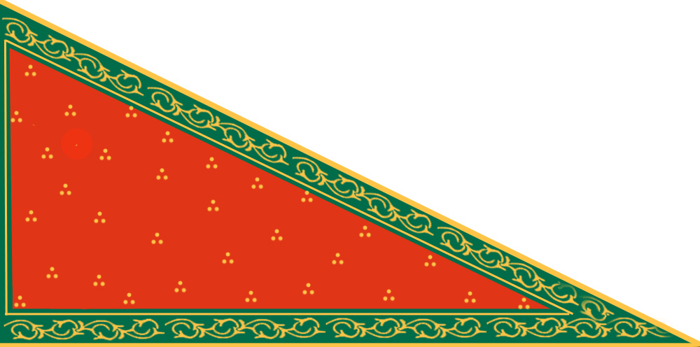
The Sikh Empire was a regional power based in the Punjab, Punjab region of the Indian subcontinent. It existed from 1799, when Maharaja Ranjit Singh captured Lahore, to 1849, when it was defeated and conquered by the East India Company, British East India Company following the Second Anglo-Sikh War. At its peak in the mid-19th century the empire extended from Gilgit and Tibet under Qing rule, Tibet in the north to the Thar Desert, deserts of Sindh in the south and from the Khyber Pass in the west to the Sutlej in the east, and was divided into eight provinces. Religiously diverse, with an estimated population of 4.5 million in 1831 (making it the List of countries by population in 1800, 19th most populous state at the time), it was the last major region of the Indian subcontinent to be annexed by the British Raj, British Empire. In 1799, Ranjit Singh of Sukerchakia Misl captured Lahore from the Sikh triumvirate which had been ruling it Sikh period in Lahore#Sikh triumvirate ... [...More Info...] [...Related Items...] OR: [Wikipedia] [Google] [Baidu] |
Jamrud Tehsil
Jamrud Tehsil is a subdivision located in Khyber District, Khyber Pakhtunkhwa, Pakistan Pakistan, officially the Islamic Republic of Pakistan, is a country in South Asia. It is the List of countries and dependencies by population, fifth-most populous country, with a population of over 241.5 million, having the Islam by country# .... The population is 228,001 according to the 2017 census. See also * Jamrud * List of tehsils of Khyber Pakhtunkhwa References Tehsils of Khyber Pakhtunkhwa Populated places in Khyber District {{Khyber-geo-stub ... [...More Info...] [...Related Items...] OR: [Wikipedia] [Google] [Baidu] |
Bab-e-Khyber
The Bab-e-Khyber (; )Beyond Bab-e-Khyber Naveed Hussain 22 January 2012 Express Tribune Retrieved 29 May 2014 is a monument situated at the entrance of the Khyber Pass in the Khyber Pakhtunkhwa province of Pakistan. The gate is located immediately west of Peshawar, with the historic Jamrud Fort lying adjacent to it. Gate introduction  The gate was inaugurated by field marshal Ayub Khan (President of Pakistan), Ayub Khan on 11th June, 1963. Khyber Gate is considered to be the most famou ...
[...More Info...] [...Related Items...] OR: [Wikipedia] [Google] [Baidu] |
Afghanistan
Afghanistan, officially the Islamic Emirate of Afghanistan, is a landlocked country located at the crossroads of Central Asia and South Asia. It is bordered by Pakistan to the Durand Line, east and south, Iran to the Afghanistan–Iran border, west, Turkmenistan to the Afghanistan–Turkmenistan border, northwest, Uzbekistan to the Afghanistan–Uzbekistan border, north, Tajikistan to the Afghanistan–Tajikistan border, northeast, and China to the Afghanistan–China border, northeast and east. Occupying of land, the country is predominantly mountainous with plains Afghan Turkestan, in the north and Sistan Basin, the southwest, which are separated by the Hindu Kush mountain range. Kabul is the country's capital and largest city. Demographics of Afghanistan, Afghanistan's population is estimated to be between 36 and 50 million. Ancient history of Afghanistan, Human habitation in Afghanistan dates to the Middle Paleolithic era. Popularly referred to as the graveyard of empire ... [...More Info...] [...Related Items...] OR: [Wikipedia] [Google] [Baidu] |
Khyber Agency
Khyber District (, ) is a district in the Peshawar Division of the Khyber Pakhtunkhwa province of Pakistan. Until 2018, it was an agency of the erstwhile Federally Administered Tribal Areas. With the merger of FATA with Khyber Pakhtunkhwa in 2018, it became a district. It ranges from the Tirah valley down to Peshawar. It borders Nangarhar Province to the west, Orakzai District to the south, Kurram District to southwest, Peshawar to the east and Mohmand District to the north. The major clans in the District Khyber are Shinwari, Afridi, Mulagori and Shalmani. Nevertheless, the majority of the population are Afridis. All Afridi clans have their own areas in the Tirah Valley, and most of them extend down into the Khyber Pass over which they have always exercised the right of toll. The Malikdin Khel live in the centre of the Tirah and hold Bagh, the traditional meeting place of Afridi '' jirgas'' or assemblies. The Aka Khel are scattered in the hills south of Jamrud. All ... [...More Info...] [...Related Items...] OR: [Wikipedia] [Google] [Baidu] |
Valley Of Peshawar
The Valley of Peshawar (; ) is a broad area situated in the central part of the Khyber Pakhtunkhwa province of Pakistan. The valley is in area, and is traversed by the Kabul River. It has a mean elevation of . The valley takes its name from the city of Peshawar, which is situated at the western part of the valley close to Warsak Dam. To the west of the valley lies the Khyber Pass. The five most populous cities in the valley are Peshawar, Mardan, Swabi, Charsadda, and Nowshera. Districts located in the valley These districts of Khyber Pakhtunkhwa are completely located in the Valley of Peshawar: * Charsadda District (population: 1,616,198) * Mardan District (population: 2,373,061) * Peshawar District (population: 4,269,079) In addition, most of Nowshera District, most of Swabi District, and smaller portions of Khyber (including Jamrud), Mohmand, Malakand, and Frontier Region Peshawar are also located in the Valley of Peshawar. Historic references In 630 CE, Xuanzang v ... [...More Info...] [...Related Items...] OR: [Wikipedia] [Google] [Baidu] |


