|
Jacobs, Louisville
Jacobs is a neighborhood on the south side of Louisville, Kentucky, in the United States The United States of America (USA), also known as the United States (U.S.) or America, is a country primarily located in North America. It is a federal republic of 50 U.S. state, states and a federal capital district, Washington, D.C. The 48 .... Its boundaries are Berry Boulevard to the north, Taylor Boulevard to the east, the I-264 to the south, and Seventh Street to the west. It was developed as Jacob's Addition in 1892 after the opening of nearby Jacob's Park (now "Iroquois Park") and named for four-time Louisville mayor Charles Donald Jacob. The area housed a veteran's hospital, Nichols General Hospital, until 1952. The area includes Manslick Cemetery, a burial ground for indigents started in the 1870s, and Watterson Lake Park. References * External links Images of Jacobs (Louisville, Ky.) in the University of Louisville Libraries Digital Collections Neighbor ... [...More Info...] [...Related Items...] OR: [Wikipedia] [Google] [Baidu] |
Louisville, Kentucky
Louisville is the List of cities in Kentucky, most populous city in the Commonwealth of Kentucky, sixth-most populous city in the Southeastern United States, Southeast, and the list of United States cities by population, 27th-most-populous city in the United States. By land area, it is the country's List of United States cities by area, 24th-largest city; however, by population density, it is the 265th most dense city. Louisville is the historical county seat and, since 2003, the nominal seat of Jefferson County, Kentucky, Jefferson County, on the Indiana border. Since 2003, Louisville and Jefferson County have shared the same borders following a consolidated city-county, city-county merger. The consolidated government is officially called the Louisville/Jefferson County Metro Government, commonly known as Louisville Metro. The term "Jefferson County" is still used in some contexts, especially for Louisville neighborhoods#Incorporated places, incorporated cities outside the "Lou ... [...More Info...] [...Related Items...] OR: [Wikipedia] [Google] [Baidu] |
United States
The United States of America (USA), also known as the United States (U.S.) or America, is a country primarily located in North America. It is a federal republic of 50 U.S. state, states and a federal capital district, Washington, D.C. The 48 contiguous states border Canada to the north and Mexico to the south, with the semi-exclave of Alaska in the northwest and the archipelago of Hawaii in the Pacific Ocean. The United States asserts sovereignty over five Territories of the United States, major island territories and United States Minor Outlying Islands, various uninhabited islands in Oceania and the Caribbean. It is a megadiverse country, with the world's List of countries and dependencies by area, third-largest land area and List of countries and dependencies by population, third-largest population, exceeding 340 million. Its three Metropolitan statistical areas by population, largest metropolitan areas are New York metropolitan area, New York, Greater Los Angeles, Los Angel ... [...More Info...] [...Related Items...] OR: [Wikipedia] [Google] [Baidu] |
Interstate 264 (Kentucky)
Interstate 264 (I-264) is a partial loop around the city of Louisville, Kentucky, south of the Ohio River. An Auxiliary Interstate Highway, auxiliary route of Interstate 64 in Kentucky, I-64, it is signed as the Shawnee Expressway for its first from its western terminus at I-64/U.S. Route 150 in Kentucky, US 150 to U.S. Route 31W, US 31W/U.S. Route 60 in Kentucky, US 60 and as the Watterson Expressway for the remainder of its length from US 31W/US 60 to its eastern terminus at Interstate 71, I-71. It is in length and runs an open circle around central Louisville. It is the only auxiliary route of I-64 outside of Virginia. I-264 is Louisville's inner beltway (in conjunction with I-64 and I-71), and the later constructed I-265, the Gene Snyder Freeway, is Louisville's outer beltway. I-264 is currently used as the primary detour route when I-64 is closed through Downtown Louisville. However, in late 2016 with the completion of the Lewis and Clark Bridge ( ... [...More Info...] [...Related Items...] OR: [Wikipedia] [Google] [Baidu] |
Jacob's Park
Iroquois Park is a 725-acre (3.0 km2) municipal park in Louisville, Kentucky, United States. It was designed by Frederick Law Olmsted, who also designed Louisville's Cherokee Park and Shawnee Park, at what were then the edges of the city. Located south of downtown, Iroquois Park was promoted as "Louisville's Yellowstone". It is built on a large knob covered with old growth forest, and its most prominent feature are the scenic viewpoints atop the hill. The summit of Iroquois Park presents an all-at-once vista of the city of Louisville, seen from the south. A bronze plaque at the site demonstrates the plan of the city's park and parkway system as planned and executed by Olmsted's firm. The park features an amphitheater, basketball courts, 18-hole golf course, a disc golf course and a riding stable. Louisville Metro Parks and partner companies stage concerts, musicals, and other shows each summer at Iroquois Amphitheater. History Iroquois Park was one of the three major sub ... [...More Info...] [...Related Items...] OR: [Wikipedia] [Google] [Baidu] |
Louisville Mayor
The history of Louisville, Kentucky, United States, as a city is considered to have started on February 13, 1828, the date of the first city charter. From the time of its first organization as a village, on February 7, 1781, until its incorporation as a city, it was governed by a board of trustees. At the time when its growth and commercial importance demanded the change of its government, it was chartered by the state legislature into a city of five wards and placed under the government of a mayor and city council, the latter being composed of ten members, two from each ward. History of the office The first election under the Act of Incorporation took place in March 1828. All free white males who had lived in the city for at least six months prior to the election could vote, although mayors were not elected directly initially. The two top vote-getters were referred to the governor, who selected the mayor from the two, with senate approval. The early mayor was relatively weak, ... [...More Info...] [...Related Items...] OR: [Wikipedia] [Google] [Baidu] |
Charles Donald Jacob
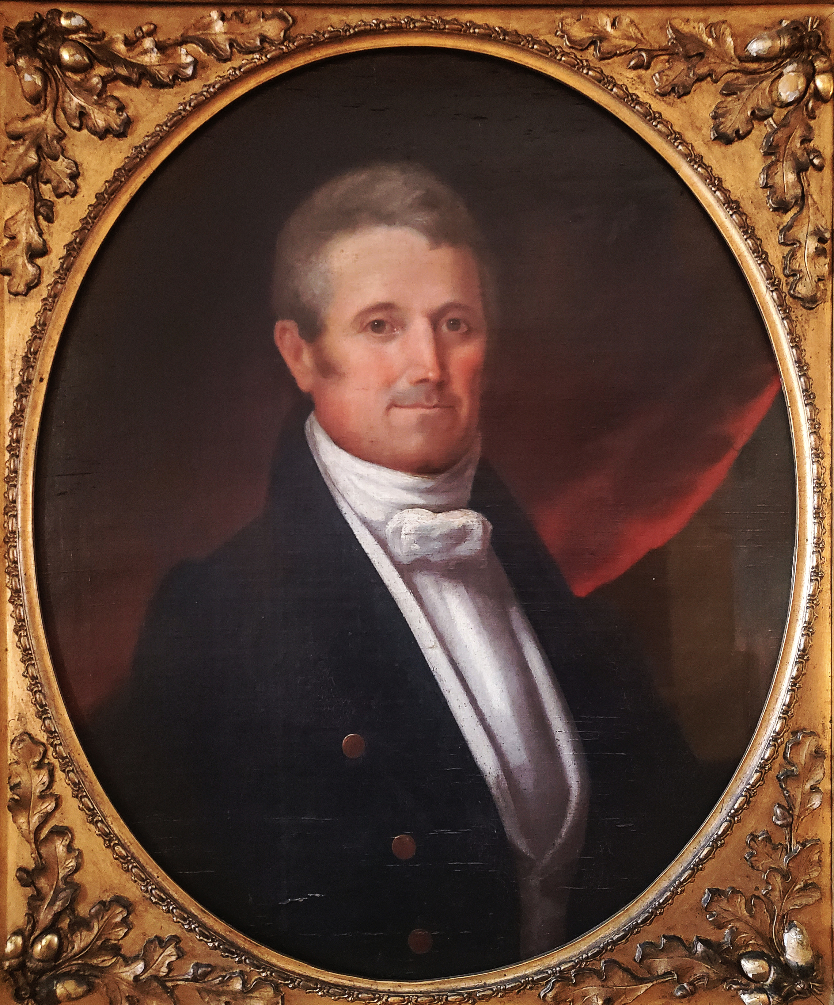
Charles Donald Jacob (June 1, 1838 – December 25, 1898) was an American politician who served four terms as mayor of Louisville, Kentucky, two consecutively in 1873–78, then later in 1882–84 and 1888–90. He also served as the U.S. minister to Colombia in 1885–1886. He was a member of the Democratic Party. In Mayor Jacob's third term, he oversaw the opening of the Southern Exposition. Perhaps Jacob's most lasting contribution was his fourth-term establishment in 1889 of a large park in Louisville, today called Iroquois Park, which was landscaped by Frederick Law Olmsted. Early life Charles Donald Jacob was born on June 1, 1838, in Louisville, Kentucky to John J. and Lucy Donald (née Robertson) Jacob. His mother was the granddaughter of Commodore Richard Taylor of American Revolutionary War fame. His father was John J. Jacob, the financier and philanthropist who was Louisville's first millionaire. His older brother was Richard Taylor Jacob, who became Kentucky Lieu ... [...More Info...] [...Related Items...] OR: [Wikipedia] [Google] [Baidu] |
Neighborhoods In Louisville, Kentucky
This is a list of official neighborhoods in Louisville, Kentucky. Like many older American cities, Louisville has well-defined neighborhoods, many with well over a century of history as a neighborhood. The oldest neighborhoods are the riverside areas of Downtown and Portland (initially a separate settlement), representing the early role of the river as the most important form of commerce and transportation. As the city expanded, peripheral neighborhoods like Butchertown, Phoenix Hill, Russell, Shelby Park, Smoketown and others were developed to house and employ the growing population. The arrival of the streetcar allowed suburbs to be built further out, such as Beechmont, Belknap, Old Louisville, Shawnee and the Highlands. An interurban rail line in the early 1900s led to communities east of Louisville such as Anchorage and Glenview becoming year-round homes for the rich. Some of Louisville's very rich also moved to mansions along Alta Vista road, in today's Cherok ... [...More Info...] [...Related Items...] OR: [Wikipedia] [Google] [Baidu] |
1892 Establishments In Kentucky
Year 189 ( CLXXXIX) was a common year starting on Wednesday of the Julian calendar. At the time, it was known as the Year of the Consulship of Silanus and Silanus (or, less frequently, year 942 ''Ab urbe condita''). The denomination 189 for this year has been used since the early medieval period, when the Anno Domini calendar era became the prevalent method in Europe for naming years. Events By place Roman Empire * Plague (possibly smallpox) kills as many as 2,000 people per day in Rome. Farmers are unable to harvest their crops, and food shortages bring riots in the city. China * Liu Bian succeeds Emperor Ling, as Chinese emperor of the Han dynasty. * Dong Zhuo has Liu Bian deposed, and installs Emperor Xian as emperor. * Two thousand eunuchs in the palace are slaughtered in a violent purge in Luoyang, the capital of Han. By topic Arts and sciences * Galen publishes his ''"Treatise on the various temperaments"'' (aka ''On the Elements According to Hippocrat ... [...More Info...] [...Related Items...] OR: [Wikipedia] [Google] [Baidu] |


