|
Inwood Forest, Houston
Inwood Forest is a community about a 3/4-mile west of historic Acres Homes in northwest Houston, Texas, United States. History Land in what is now Inwood Forest was originally Indigenous people of the United States, Native American hunting grounds. In the 1860s German American farmers settled along the White Oak Bayou. For a 100-year period until 1963, the Fuchs family owned the land that would become Inwood Forest and surrounding subdivisions; during that year a real estate developer bought the land. Many of the original houses in Inwood Forest were developed for oil company executives. Wayne Norden, the president of the Near Northwest Management District, stated in 2011 that Inwood Forest was a different kind of neighborhood in the 1970s than in the 2010s.Lee, Renée C.Demolition signals new life for neighborhood" ''Houston Chronicle''. February 7, 2011. Retrieved on February 8, 2011. The City of Houston annexed the Inwood Forest area in 1975, adding of land to the city limits ... [...More Info...] [...Related Items...] OR: [Wikipedia] [Google] [Baidu] |
George Bush Intercontinental Airport
George Bush Intercontinental Airport is an international airport in Houston, Texas, United States, serving the Greater Houston metropolitan area. Initially named Houston Intercontinental Airport upon its opening in 1969, it was renamed in honor of George H. W. Bush, the 41st president of the United States and a resident of Houston, in 1997. It is also commonly called Houston International Airport or George Bush International Airport. Located about north of Downtown Houston between Interstate 45 in Texas, Interstate 45 and Interstate 69 in Texas, Interstate 69/U.S. Highway 59 in Texas, U.S. Highway 59 with direct access to the Hardy Toll Road expressway, George Bush Intercontinental Airport has scheduled flights to a large number of domestic and international destinations covering five continents. It is the second busiest airport in Texas for international passenger traffic as of 2025 (behind DFW) and has a number of international destinations, the List of airports in Texas, ... [...More Info...] [...Related Items...] OR: [Wikipedia] [Google] [Baidu] |
Klein Independent School District
Klein Independent School District (Klein ISD) is a school district that covers in Harris County, Texas, United States. It became an independent school district in 1938. Almost all of the territory is unincorporated; a small portion of Houston is within the district. In the 2020–2021 school year, Klein ISD had 52,824 students. Klein ISD is part of the taxation base for the Lone Star College System. , Jenny McGown is Superintendent of Schools. The district has 33 elementary schools (including a Pre-K designated school), ten intermediate schools, and five high schools. For the 2021–2022 school year, the district received a score of 89 out of 100 from the Texas Education Agency. History Rural High School District No. 1 was formed in July 1928 as a result of the consolidation of five common school districts, including French School, the schools of Hildebrandt, Oak Grove, Willow Creek, Kothman, Harrel, Fuchs, and the Kohrville School for black children. The district became Kl ... [...More Info...] [...Related Items...] OR: [Wikipedia] [Google] [Baidu] |
Klein Forest High School
Klein Forest High School is a public senior high school in unincorporated Harris County, Texas, near Houston. It is a part of the Klein Independent School District. It was the second high school built in Klein ISD. Opening in the Fall of 1979, Klein Forest welcomes students from the southern side of the district, including the Champions area of F.M. 1960. Klein Forest celebrated its 30th anniversary in 2009. There are two intermediate campuses and eight elementary schools within its feeder pattern. In the spring of 2011, Klein Forest opened an NCAA-modeled athletic facility. Klein Forest serves grades 9-12. A portion of the Near Northwest district is served by the school.Demographics " Near Northwest. Retrieved on February 8, 2011. History In 2017, areas of the Klein Forest zone between Cypress C ...[...More Info...] [...Related Items...] OR: [Wikipedia] [Google] [Baidu] |
Eisenhower High School (Houston)
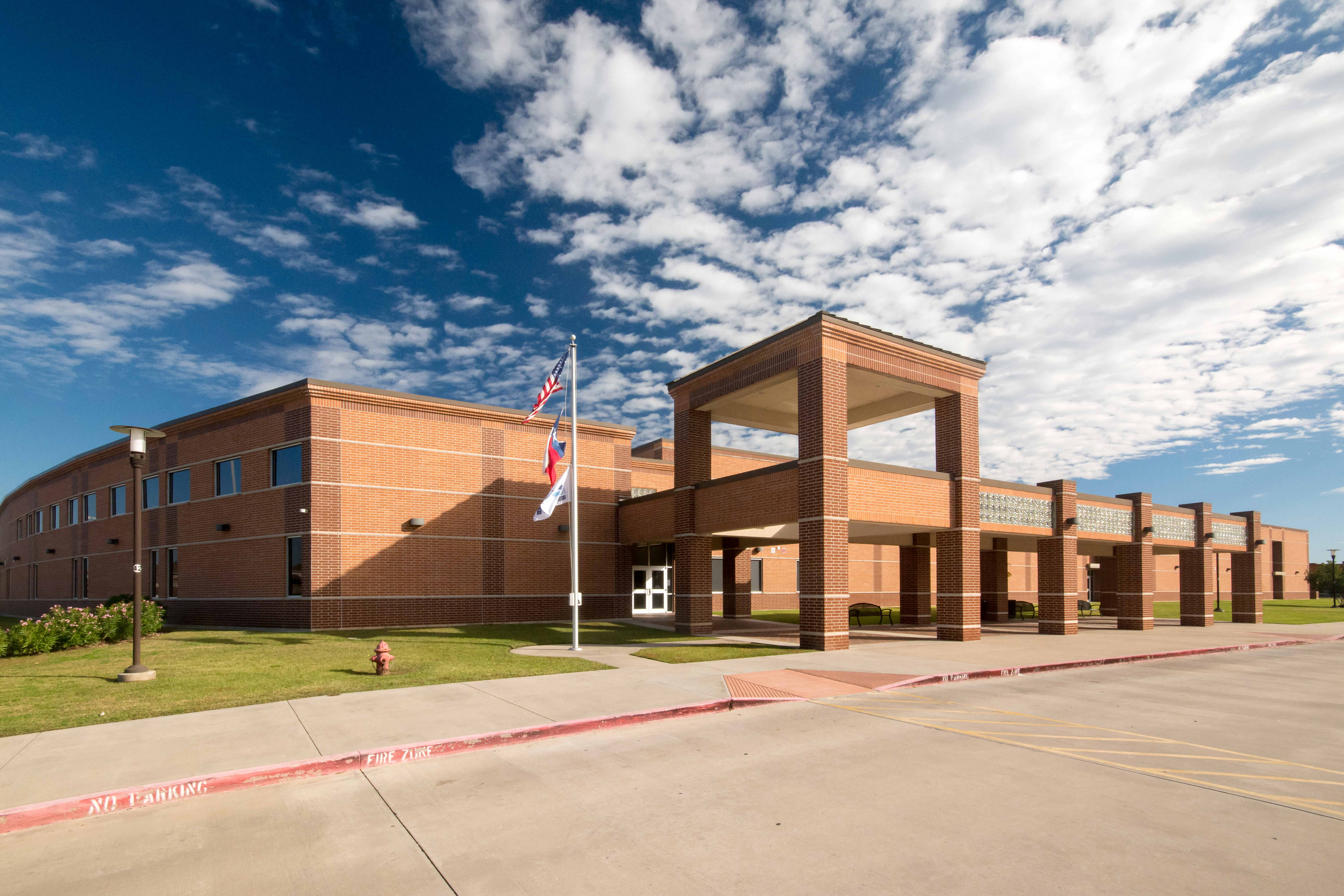
Dwight D. Eisenhower High School is a Title I public secondary school located in Near Northwest, Texas, Near Northwest and in Houston, Texas, United States.Area Map ." Near Northwest. Retrieved on February 8, 2011. Eisenhower is a part of the Aldine Independent School District. The main campus is located at 7922 Antoine Drive, while the Eisenhower 9th Grade School is located at 3550 West Gulfbank Road. Eisenhower serves multiple areas. The Inwood Forest, Houston, Texas, Inwood Forest community, and the western portion of the Acres Homes, Houston, Texas, Acres Homes community are served by Eisenhower. In addition, the unincorporated Harris County communities of Bammel Trace, Mount Royal Village, Parkland Place, Greensfield Village, Willow Springs Villas, Woodland Trails and Woodgate Village are zoned to Eisenhower. Eisenhower o ... [...More Info...] [...Related Items...] OR: [Wikipedia] [Google] [Baidu] |
Aldine Independent School District
The Aldine Independent School District is a public school district based in unincorporated area, unincorporated Harris County, Texas, United States. It serves portions of Houston and unincorporated Harris County. Aldine ISD serves the communities of Aldine, Houston, Texas, Aldine, most of Greenspoint, Houston, Texas, Greenspoint, most of East Aldine, Texas, East Aldine,District Map . East Aldine District. January 2012. Retrieved on May 1, 2014. [...More Info...] [...Related Items...] OR: [Wikipedia] [Google] [Baidu] |
Second Ward, Houston
Second Ward (also known as Segundo Barrio, Spanish for "second neighborhood", or Segundo in short;Garza (2011), p. 15. historically Das Zweiter in German) is a historical political district ward in the East End community in Houston, Texas. It was one of the four original wards of the city in the nineteenth century. The community known as the Second Ward today is roughly bounded by Buffalo Bayou to the north, Lockwood Avenue to the east, and railroad tracks to the south and west, although the City of Houston's "Super Neighborhood" program includes a section east of Lockwood. The Second Ward, which initially had a significant German American population, today has mainly Mexican American residents.Davis, Rod.Houston's really good idea Bus tour celebrates communities that forged a city. ''San Antonio Express-News''. Sunday August 3, 2003. Travel 1M. Retrieved on February 11, 2012. Many Mexican-Americans moved into the area following World War II and the subsequent white flight from ... [...More Info...] [...Related Items...] OR: [Wikipedia] [Google] [Baidu] |
Houston Fire Department
City of Houston Fire Department (HFD) is the agency that provides fire protection and emergency medical services for the city of Houston, Texas, United States, the fourth largest city in the United States. HFD is responsible for preserving life and property for a population of more than 2 million in an area totaling . The department is the largest fire department (by number of personnel) in the state of Texas. The administrative offices of HFD are located on the 17th floor of 500 Jefferson Street (a part of the Cullen Center) in Downtown Houston. They were previously located at the City of Houston Fire Department Logistical Center & Maintenance Depot. The Houston Fire Department got its start in 1838 with one station known as ''Protection Company No. 1''. By 1859, the volunteer department had grown to three stations. After 57 years of service, Houston converted the department over to all paid members. Notable Incidents Southwest Inn Fire On May 31, 2013, the ''Southwest I ... [...More Info...] [...Related Items...] OR: [Wikipedia] [Google] [Baidu] |
Fire Station 4 Houston
Fire is the rapid oxidation of a fuel in the exothermic chemical process of combustion, releasing heat, light, and various reaction products. Flames, the most visible portion of the fire, are produced in the combustion reaction when the fuel reaches its ignition point temperature. Flames from hydrocarbon fuels consist primarily of carbon dioxide, water vapor, oxygen, and nitrogen. If hot enough, the gases may become ionized to produce plasma. The color and intensity of the flame depend on the type of fuel and composition of the surrounding gases. Fire, in its most common form, has the potential to result in conflagration, which can lead to permanent physical damage. It directly impacts land-based ecological systems worldwide. The positive effects of fire include stimulating plant growth and maintaining ecological balance. Its negative effects include hazards to life and property, atmospheric pollution, and water contamination. When fire removes protective vegetation, heavy r ... [...More Info...] [...Related Items...] OR: [Wikipedia] [Google] [Baidu] |
610 Loop
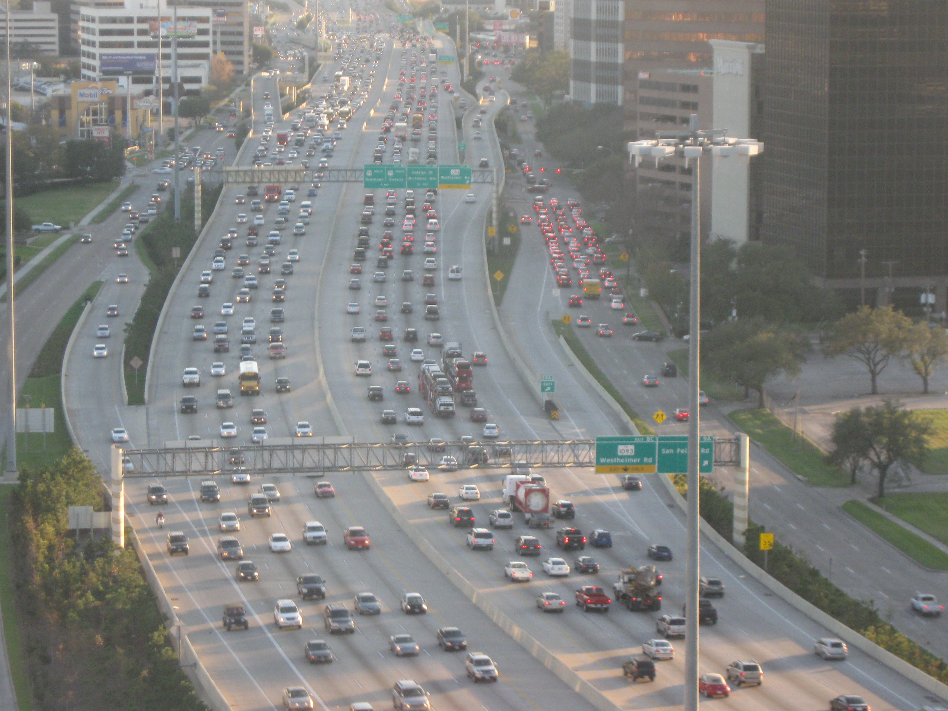
Interstate 610 (I-610) is an auxiliary Interstate Highway that forms a loop around the inner city sector of the city of Houston, Texas. I-610, colloquially known as The Loop, Loop 610, The Inner Loop, or just 610, traditionally marks the border between the inner city of Houston ("inside the Loop") and its surrounding areas. It is the innermost of the three Houston beltways, the other two being Beltway 8 (Sam Houston Parkway/Tollway) and State Highway 99 (SH 99; Grand Parkway), of which various segments are under construction or planning. In Houston, the area inside I-610 is the urban core. Jeff Balke of the ''Houston Press'' wrote that the freeway "is as much a social and philosophical divide as a physical one". Mike Snyder in the ''Houston Chronicle'' wrote that, as someone from inside I-610, he historically felt "kind of special" due to being close to "the city's historical core and its major business, educational and cultural institutions". Route d ... [...More Info...] [...Related Items...] OR: [Wikipedia] [Google] [Baidu] |
Uptown Houston
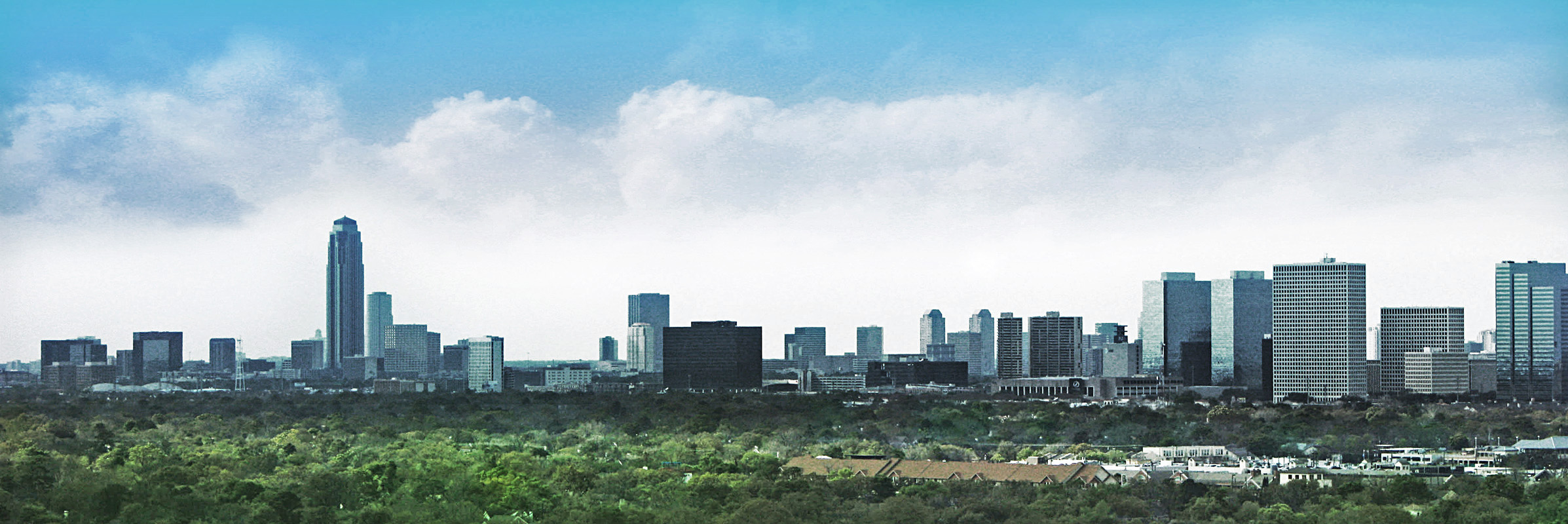
Uptown (more commonly called The Galleria Area) is a business district in Houston, located west of Downtown Houston, Downtown and is centered along Post Oak Boulevard and Westheimer Road (Farm to Market Road 1093). The Uptown District is roughly bounded by Woodway Drive to the north, Interstate 610 (Texas), I-610 (West Loop) to the east, Richmond Avenue to the south, and Yorktown Street to the west. It covers . At of office space, the Uptown District is the 17th-largest business district in the United States, comparable in size to the downtowns of Denver and Pittsburgh.Office " ''Uptown Houston''. Retrieved on January 18, 2009. The district is home to approximately 2,000 companies and represents more than 11 percent of Houston's total office space. History In ...[...More Info...] [...Related Items...] OR: [Wikipedia] [Google] [Baidu] |


