|
Highwood River
The Highwood River is a tributary of the Bow River in southwestern Alberta, Canada. Course The Highwood originates in the Canadian Rockies in Peter Lougheed Provincial Park, in the Highwood Pass below Mount Arethusa. It flows south and is paralleled by the Kananaskis Trail between Elbow-Sheep Wildland Provincial Park, Don Getty Wildland Provincial Park, and ''Emerson Creek Park''. It turns east and flows along Highway 541 and through the community of Longview. Continuing east, it passes through High River, ending when it enters the Bow River southeast of Calgary. Recreation The river is known for flyfishing. A variety of trout species live in the river, including native bull trout. In springtime when the snow is melting the river offers white water rafting. Flooding The Highwood River is subject to frequent flooding. Flood events of exceptional magnitude occurred in 1894, 1899, 1902, 1908, 1912, 1923, 1929, 1932, 1942, 1995, 2005 and 2013. Most recently during the 2 ... [...More Info...] [...Related Items...] OR: [Wikipedia] [Google] [Baidu] |
Alberta Highway 40
Alberta Provincial Highway No. 40, commonly referred to as Highway 40, is a south-north highway in western Alberta, Canada. It is also named Bighorn Highway and Kananaskis Trail in Kananaskis Country. Its segmented sections extend from Coleman in the Municipality of Crowsnest Pass northward to the City of Grande Prairie and is currently divided into four sections. Route description The southernmost section is gravel; it runs for through the Municipality of Crowsnest Pass, where it then becomes the Forestry Trunk Road to Highway 541, which has a combined length of . The second section of Highway 40 is ''Kananaskis Trail'', which is paved and runs through Kananaskis Country for from Highway 541, over Highwood Pass, and through Peter Lougheed Provincial Park and Spray Valley Provincial Park. The highway passes Kananaskis Village before terminating at the Trans-Canada Highway ( Highway 1). The third section is gravel and is part of the Forestry Tru ... [...More Info...] [...Related Items...] OR: [Wikipedia] [Google] [Baidu] |
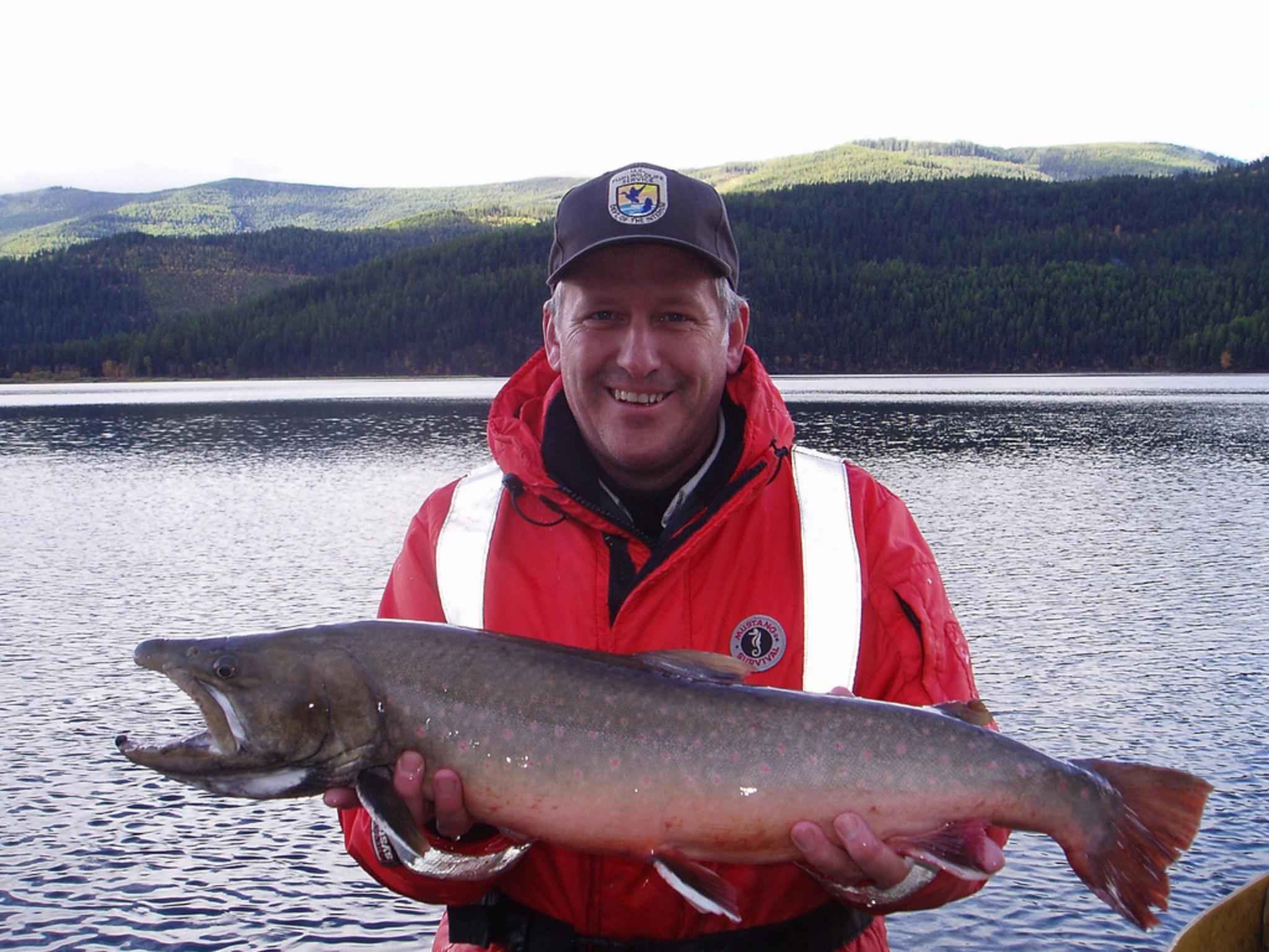
Bull Trout
The bull trout (''Salvelinus confluentus'') is a char of the family Salmonidae native to northwestern North America. Historically, ''S. confluentus'' has been known as the " Dolly Varden" (''S. malma''), but was reclassified as a separate species in 1980. Bull trout are listed as a threatened species under the U.S. Endangered Species Act (1998) and as vulnerable on the IUCN Red List of Threatened Species. Description Like other species of char, the fins of a bull trout have white leading edges. Its head and mouth are unusually large for salmonids, giving it its name. Bull trout have been recorded measuring up to in length and weighing . Bull trout may be either migratory, moving throughout large river systems, lakes, and the ocean, or they may be resident, remaining in the same stream their entire lives. Migratory bull trout are typically much larger than resident bull trout, which rarely exceed . Bull trout can be differentiated from brook trout (''S. fontinalis'') by the absen ... [...More Info...] [...Related Items...] OR: [Wikipedia] [Google] [Baidu] |
Alberta Highway 552
The Canadian province of Alberta has provincial highway network of nearly as of 2009, of which were paved. All of Alberta's provincial highways are maintained by Alberta Transportation (AT), a department of the Government of Alberta. The network includes two distinct series of numbered highways: * The 1–216 series (formerly known as primary highways), making up Alberta's core highway network—typically paved and with the highest traffic volume * The 500–986 series, providing more local access, with a higher proportion of gravel surfaces History In 1926, Alberta discontinued its system of marking highways with different colours in favour of a numbering system. By 1928, the year a gravel road stretched from Edmonton to the United States border, Alberta's provincial highway network comprised . Prior to 1973, the expanding highway system comprised one-digit and two-digit highways, with some numbers having letter suffixes (e.g., Highway 1X, Highway 26A). In 1973 ... [...More Info...] [...Related Items...] OR: [Wikipedia] [Google] [Baidu] |
